Fleetholme Dub
Lake, Pool, Pond, Freshwater Marsh in Westmorland South Lakeland
England
Fleetholme Dub

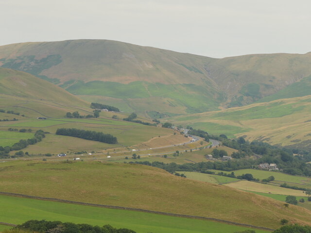
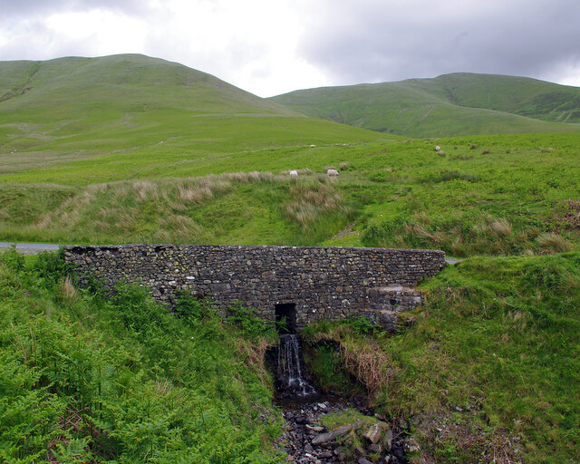
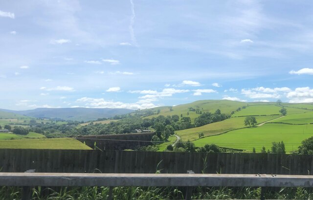
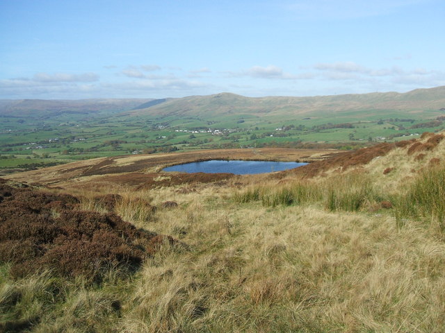
Fleetholme Dub, located in Westmorland, England, is a picturesque freshwater marsh that has gained recognition for its natural beauty. Covering an area of approximately 10 acres, it is considered one of the most stunning dubs in the region. Surrounded by lush greenery and nestled between rolling hills, this tranquil oasis offers a serene escape for both locals and visitors alike.
The dub is primarily fed by natural springs and rainfall, resulting in crystal clear and unpolluted water. It boasts a diverse range of aquatic flora, including reeds, water lilies, and various types of submerged vegetation. This rich plant life provides a habitat for numerous species of wildlife, making Fleetholme Dub a haven for nature enthusiasts.
Birdwatchers flock to the dub, as it attracts a wide variety of avian species throughout the year. Common sightings include herons, ducks, swans, and an array of smaller water birds. In the summer months, the air is filled with the melodious songs of warblers and other songbirds that nest in the surrounding trees.
The dub has become popular among anglers, as it is home to a healthy population of freshwater fish, such as perch, roach, and pike. Fishing enthusiasts can be seen casting their lines from the banks or launching small boats into the calm waters.
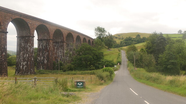
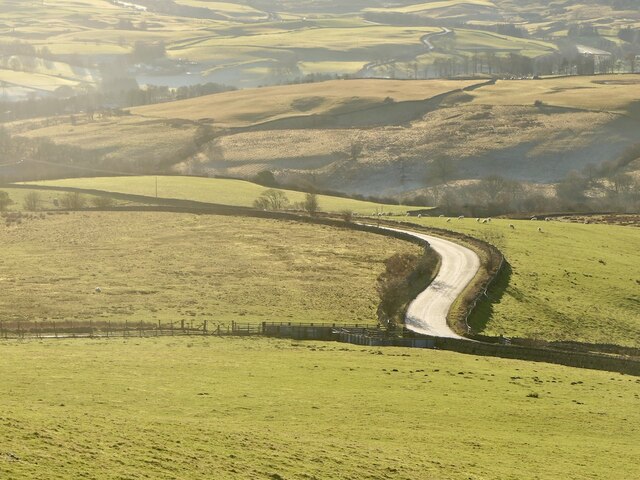
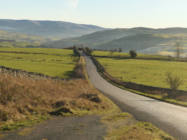
Fleetholme Dub is easily accessible, with a public footpath leading visitors directly to its shores. There are also designated picnic spots and benches dotted around the area, allowing visitors to relax and soak in the tranquil ambiance.
Overall, Fleetholme Dub is a stunning freshwater marsh that offers a sanctuary for both wildlife and humans alike. Its natural beauty and peaceful atmosphere make it a must-visit destination for anyone seeking solace in nature.
If you have any feedback on the listing, please let us know in the comments section below.
Fleetholme Dub Images
Images are sourced within 2km of 54.362834/-2.5814855 or Grid Reference SD6296. Thanks to Geograph Open Source API. All images are credited.


Fleetholme Dub is located at Grid Ref: SD6296 (Lat: 54.362834, Lng: -2.5814855)
Administrative County: Cumbria
District: South Lakeland
Police Authority: Cumbria
What 3 Words
///financial.mega.expand. Near Sedbergh, Cumbria
Nearby Locations
Related Wikis

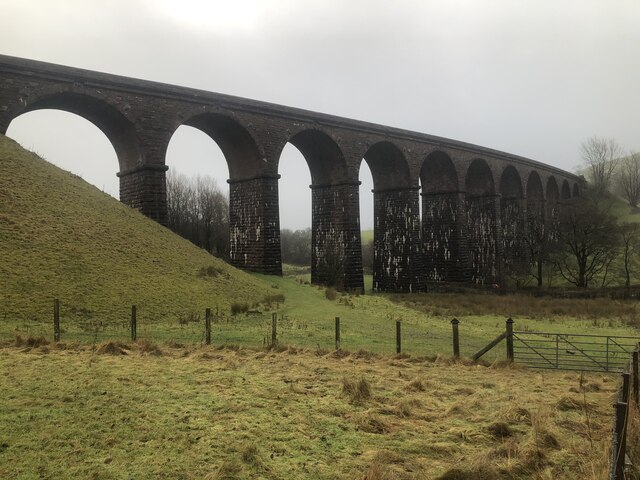
Low Gill railway station
Low Gill railway station served the hamlet of Lowgill, Westmorland (now in Cumbria), England, from 1846 to 1966 on the Lancaster and Carlisle Railway....

Holy Trinity Church, Howgill
Holy Trinity Church stands in a country lane near the hamlet of Howgill, between Sedbergh and Tebay, Cumbria, England. It is an active Anglican church...

Beck Foot
Beck Foot is a hamlet in Cumbria, England, situated on the B6257 road south of Lowgill, the West Coast Main Line and M6 motorway. The disused Lowgill Viaduct...

Firbank
Firbank is a village and civil parish in the South Lakeland district of the English county of Cumbria. It has a population of 97. As Firbank had a population...

Grayrigg railway station
Grayrigg railway station in Lambrigg parish, was situated on the course of the original Lancaster and Carlisle Railway (L&CR) (the West Coast Main Line...

Firbank Fell
Firbank Fell is a hill in Cumbria between the towns of Kendal and Sedbergh that is renowned as a place where George Fox, the founder of the Religious Society...
Lambrigg
Lambrigg is a civil parish in the South Lakeland district of the English county of Cumbria. It includes the hamlets of Cross Houses and Lambrigg Head...
Beck Houses
Beck Houses is a hamlet in Cumbria, England. It lies south of Grayrigg in the Westmorland and Furness unitary authority area. The West Coast Main Line...
Nearby Amenities
Located within 500m of 54.362834,-2.5814855Have you been to Fleetholme Dub?
Leave your review of Fleetholme Dub below (or comments, questions and feedback).