Dick Wood

Wood, Forest in Cumberland Eden

England

Dick Wood

Across the green at Melmerby If travelling east on the A686 from Penrith, Melmerby is the last village in the Vale of Eden before the long climb to Hartside Cross. The view is east across the village green with the western flank of the Pennines in the background.
Across the green at Melmerby Credit: Gordon Hatton

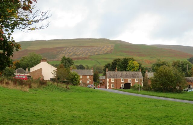
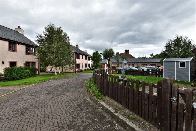
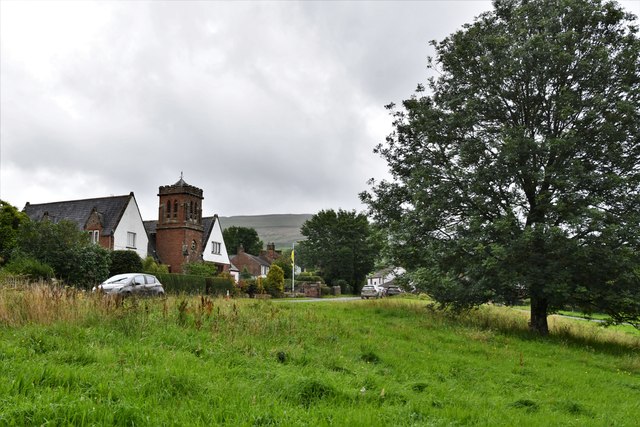
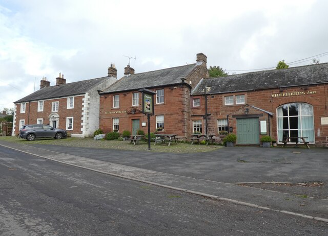
Dick Wood, Cumberland, also known as Wood or Forest, is a small village located in the county of Cumbria, England. Situated in the Lake District National Park, it is surrounded by picturesque landscapes and offers a tranquil and idyllic setting for residents and visitors alike.

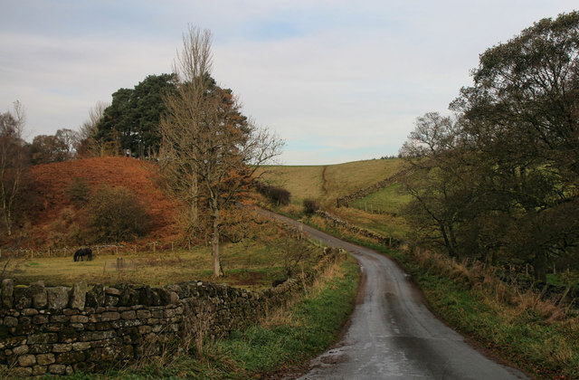
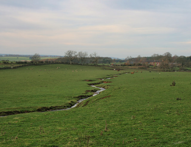
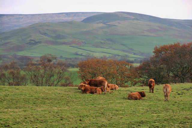
The village is named after the nearby Dick Wood, a dense forest characterized by its tall, ancient oak trees. The forest provides a habitat for a variety of wildlife, including deer, birds, and small mammals, making it a popular destination for nature enthusiasts and bird watchers.

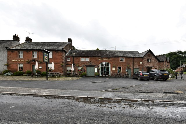
Dick Wood, Cumberland, is a close-knit community with a small population. The village is predominantly residential, with a few local businesses catering to the needs of the residents. The nearby town of Cumberland offers additional amenities and services, including schools, supermarkets, and healthcare facilities.

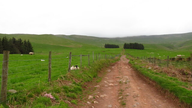
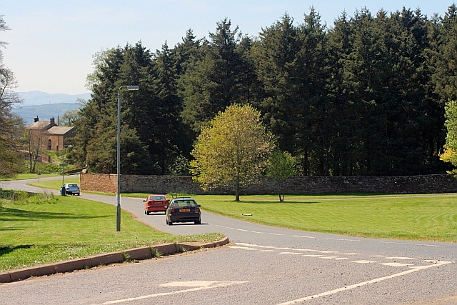
In terms of recreational activities, Dick Wood boasts numerous opportunities for outdoor pursuits. The surrounding area is ideal for hiking, cycling, and horseback riding, with a network of trails and paths that meander through the beautiful countryside. The nearby lakes and rivers also provide opportunities for fishing and boating.

Despite its serene and rural setting, Dick Wood is well-connected to the rest of the region. The village has good road links, making it easily accessible by car. Public transportation options include regular bus services that connect to the nearby towns and cities.

In conclusion, Dick Wood, Cumberland, is a charming village in the heart of the Lake District National Park. With its beautiful forest, abundance of wildlife, and range of outdoor activities, it offers a peaceful and scenic retreat for those seeking a slower pace of life in a natural environment.

If you have any feedback on the listing, please let us know in the comments section below.

Dick Wood Images

Images are sourced within 2km of 54.7219/-2.5890532 or Grid Reference NY6236. Thanks to Geograph Open Source API. All images are credited.
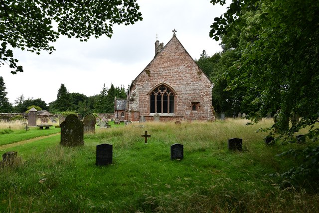
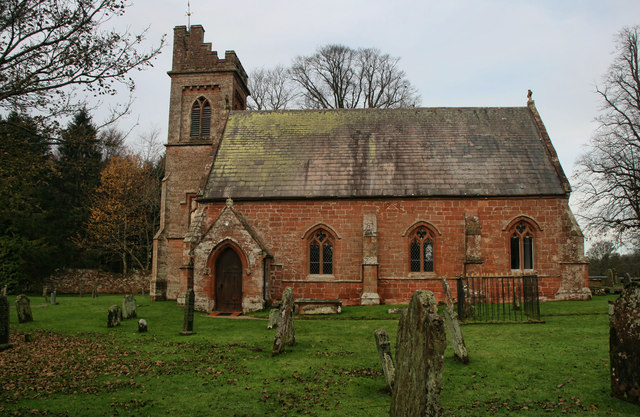
Across the green at Melmerby If travelling east on the A686 from Penrith, Melmerby is the last village in the Vale of Eden before the long climb to Hartside Cross. The view is east across the village green with the western flank of the Pennines in the background.
Across the green at Melmerby
If travelling east on the A686 from Penrith, Melmerby is the last village in the Vale of Eden before the long climb to Hartside Cross. The view is east across the village green with the western flank of the Pennines in the background.
Church of St John the Baptist, Melmerby Not a very interesting looking church from the outside, and Pevsner [Buildings of England - Cumberland & Westmorland] describes it in just 7 lines, but even he seemed unsure if most of the building is of 1849 or 1895.
Church of St John the Baptist, Melmerby
Not a very interesting looking church from the outside, and Pevsner [Buildings of England - Cumberland & Westmorland] describes it in just 7 lines, but even he seemed unsure if most of the building is of 1849 or 1895.
Heading NE on track at Little Awfell above Melmerby
OS benchmark OS benchmark on corner of private house.  Melmerby House
OS benchmark
OS benchmark on corner of private house. Melmerby House
Vardo on the village green Vardo/gypsy caravan on Melmerby village green
Vardo on the village green
Vardo/gypsy caravan on Melmerby village green
Melmerby: Townhead Court
Melmerby: The Shepherds Inn PH
Melmerby: Church Road
Melmerby, St. John the Baptist's Church: Eastern aspect
Shepherds Inn, Melmerby
Old Boundary Marker north of Sunnygill Bridge Parish Boundary Marker at a wall corner on the east side of the road north of Sunnygill Bridge. Inscribed PARISH / OF / OUSBY and PARISH / OF / MELMERBY on adjacent faces. On the boundary of Ousby and Melmerby parishes. An eroded stone to the left could be an older marker.

Milestone Society National ID: CU_OUSMEL01pb
Old Boundary Marker north of Sunnygill Bridge
Parish Boundary Marker at a wall corner on the east side of the road north of Sunnygill Bridge. Inscribed PARISH / OF / OUSBY and PARISH / OF / MELMERBY on adjacent faces. On the boundary of Ousby and Melmerby parishes. An eroded stone to the left could be an older marker. Milestone Society National ID: CU_OUSMEL01pb
A686 at Melmerby Looking west towards Penrith.
A686 at Melmerby
Looking west towards Penrith.
Bus Stop, Melmerby Village Green
Sunnygill Bridge Sunnygill Bridge crossing Sunnygill Beck.
Sunnygill Bridge
Sunnygill Bridge crossing Sunnygill Beck.
Garrigill Bank Cows on land near Garrigill Bank.
Garrigill Bank
Cows on land near Garrigill Bank.
Holm Beck Holm Beck near Melmerby.
Holm Beck
Holm Beck near Melmerby.
St John the Baptist's Church St John the Baptist's Church in Melmerby.
St John the Baptist's Church
St John the Baptist's Church in Melmerby.
Ousby Cows in field above Sunnygill Beck near Ousby.
Ousby
Cows in field above Sunnygill Beck near Ousby.
Show me another place!

Dick Wood is located at Grid Ref: NY6236 (Lat: 54.7219, Lng: -2.5890532)

Administrative County: Cumbria

District: Eden

Police Authority: Cumbria

What 3 Words

///prouder.motive.dentistry. Near Penrith, Cumbria

Related Wikis

Melmerby, Cumbria

Melmerby is a village and civil parish in the Eden district, in the county of Cumbria, England. It is a small village with a population of around 200....

Ousby

Ousby is a village and civil parish in Eden district, in the English county of Cumbria. It is a Thankful Village, one of 52 parishes in England and Wales...

St John's Church, Gamblesby

St. John's Church was a Victorian parish Church of England church in the village of Gamblesby, Cumbria, England.The Gothic Revival-style church, with tall...

Gamblesby

Gamblesby is a village near Melmerby, and former civil parish, now in the parish of Glassonby, in the Westmorland and Furness district, in the ceremonial...

Nearby Amenities

Located within 500m of 54.7219,-2.5890532
Power: pole
Lat/Long: 54.7256844/-2.5908672
Power: pole
Lat/Long: 54.7250173/-2.5899592
Power: pole
Lat/Long: 54.7243065/-2.5889756
Power: pole
Lat/Long: 54.7235563/-2.5879667
Power: pole
Lat/Long: 54.7233335/-2.5867032
Power: pole
Lat/Long: 54.7231092/-2.5854219
Power: pole
Lat/Long: 54.723566/-2.5879797
Power: pole
Lat/Long: 54.7228747/-2.5888495
Power: pole
Lat/Long: 54.7216831/-2.5903728
Power: pole
Lat/Long: 54.7210976/-2.591127
Power: pole
Lat/Long: 54.7228484/-2.5839061
Power: pole
Lat/Long: 54.7225775/-2.5823626
The data included in this document is from www.openstreetmap.org. The data is made available under ODbL.

Have you been to Dick Wood?

Leave your review of Dick Wood below (or comments, questions and feedback).