Pig Wood

Wood, Forest in Cumberland Eden

England

Pig Wood

Across the green at Melmerby If travelling east on the A686 from Penrith, Melmerby is the last village in the Vale of Eden before the long climb to Hartside Cross. The view is east across the village green with the western flank of the Pennines in the background.
Across the green at Melmerby Credit: Gordon Hatton

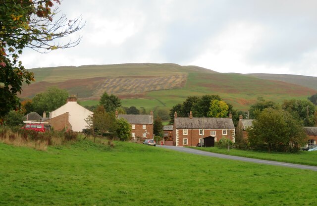
Pig Wood, located in Cumberland, is a dense forest renowned for its unique ecosystem and natural beauty. Covering an area of approximately 500 acres, this woodland is a popular destination for nature enthusiasts and hikers seeking tranquility and a close connection with nature.

The forest is composed mainly of deciduous trees, including oak, beech, and birch, which create a dense canopy, providing shade and shelter for a variety of wildlife. The rich biodiversity of Pig Wood is evident in the diverse array of flora and fauna that call this forest home. Mosses, ferns, and wildflowers carpet the forest floor, adding to its enchanting ambiance.

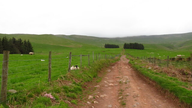
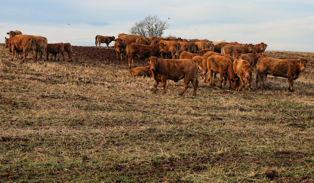
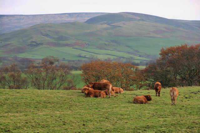
The woodland is also home to a wide range of animal species, including deer, foxes, badgers, and a plethora of bird species. Birdwatchers frequent the area to catch a glimpse of rare species such as woodpeckers and owls that inhabit the forest. Additionally, the forest is a sanctuary for several endangered and protected species, making it an important conservation area.

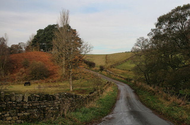
Pig Wood offers a network of well-maintained walking trails, allowing visitors to explore the forest at their own pace. The trails wind through the forest, passing by ancient trees and offering breathtaking views of the surrounding countryside. With its peaceful atmosphere and serene surroundings, Pig Wood provides an excellent opportunity for visitors to escape the hustle and bustle of daily life and immerse themselves in the beauty of nature.

Overall, Pig Wood in Cumberland is a treasured natural gem, appreciated for its diverse ecosystem, scenic beauty, and the sense of tranquility it offers to all who venture into its depths.

If you have any feedback on the listing, please let us know in the comments section below.

Pig Wood Images

Images are sourced within 2km of 54.723024/-2.5907153 or Grid Reference NY6236. Thanks to Geograph Open Source API. All images are credited.
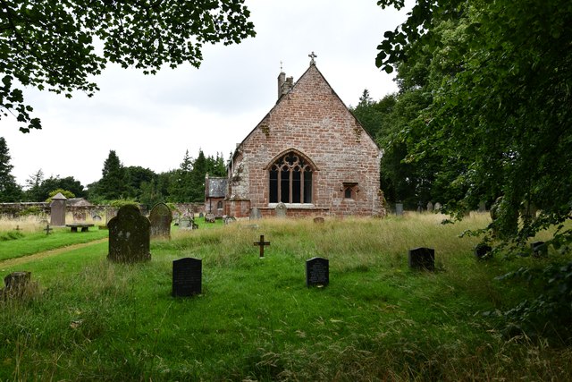
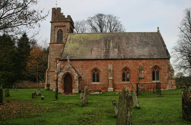
Across the green at Melmerby If travelling east on the A686 from Penrith, Melmerby is the last village in the Vale of Eden before the long climb to Hartside Cross. The view is east across the village green with the western flank of the Pennines in the background.
Across the green at Melmerby
If travelling east on the A686 from Penrith, Melmerby is the last village in the Vale of Eden before the long climb to Hartside Cross. The view is east across the village green with the western flank of the Pennines in the background.
Church of St John the Baptist, Melmerby Not a very interesting looking church from the outside, and Pevsner [Buildings of England - Cumberland & Westmorland] describes it in just 7 lines, but even he seemed unsure if most of the building is of 1849 or 1895.
Church of St John the Baptist, Melmerby
Not a very interesting looking church from the outside, and Pevsner [Buildings of England - Cumberland & Westmorland] describes it in just 7 lines, but even he seemed unsure if most of the building is of 1849 or 1895.
Heading NE on track at Little Awfell above Melmerby
OS benchmark OS benchmark on corner of private house.  Melmerby House
OS benchmark
OS benchmark on corner of private house. Melmerby House
Vardo on the village green Vardo/gypsy caravan on Melmerby village green
Vardo on the village green
Vardo/gypsy caravan on Melmerby village green
Melmerby: Townhead Court
Melmerby: The Shepherds Inn PH
Melmerby: Church Road
Melmerby, St. John the Baptist's Church: Eastern aspect
Shepherds Inn, Melmerby
Old Boundary Marker north of Sunnygill Bridge Parish Boundary Marker at a wall corner on the east side of the road north of Sunnygill Bridge. Inscribed PARISH / OF / OUSBY and PARISH / OF / MELMERBY on adjacent faces. On the boundary of Ousby and Melmerby parishes. An eroded stone to the left could be an older marker.

Milestone Society National ID: CU_OUSMEL01pb
Old Boundary Marker north of Sunnygill Bridge
Parish Boundary Marker at a wall corner on the east side of the road north of Sunnygill Bridge. Inscribed PARISH / OF / OUSBY and PARISH / OF / MELMERBY on adjacent faces. On the boundary of Ousby and Melmerby parishes. An eroded stone to the left could be an older marker. Milestone Society National ID: CU_OUSMEL01pb
A686 at Melmerby Looking west towards Penrith.
A686 at Melmerby
Looking west towards Penrith.
Bus Stop, Melmerby Village Green
Sunnygill Bridge Sunnygill Bridge crossing Sunnygill Beck.
Sunnygill Bridge
Sunnygill Bridge crossing Sunnygill Beck.
Garrigill Bank Cows on land near Garrigill Bank.
Garrigill Bank
Cows on land near Garrigill Bank.
Holm Beck Holm Beck near Melmerby.
Holm Beck
Holm Beck near Melmerby.
St John the Baptist's Church St John the Baptist's Church in Melmerby.
St John the Baptist's Church
St John the Baptist's Church in Melmerby.
Ousby Cows in field above Sunnygill Beck near Ousby.
Ousby
Cows in field above Sunnygill Beck near Ousby.
Show me another place!

Pig Wood is located at Grid Ref: NY6236 (Lat: 54.723024, Lng: -2.5907153)

Administrative County: Cumbria

District: Eden

Police Authority: Cumbria

What 3 Words

///fuzzy.towers.stung. Near Penrith, Cumbria

Related Wikis

Nearby Amenities

Located within 500m of 54.723024,-2.5907153
Power: pole
Lat/Long: 54.7262437/-2.5956037
Power: pole
Lat/Long: 54.7262597/-2.5942796
Power: pole
Lat/Long: 54.726283/-2.5926175
Power: pole
Lat/Long: 54.726315/-2.5917348
Power: pole
Lat/Long: 54.7256844/-2.5908672
Power: pole
Lat/Long: 54.7250173/-2.5899592
Power: pole
Lat/Long: 54.7243065/-2.5889756
Power: pole
Lat/Long: 54.7235563/-2.5879667
Power: pole
Lat/Long: 54.7233335/-2.5867032
Power: pole
Lat/Long: 54.7231092/-2.5854219
Power: pole
Lat/Long: 54.723566/-2.5879797
Power: pole
Lat/Long: 54.7228747/-2.5888495
Power: pole
Lat/Long: 54.7216831/-2.5903728
Power: pole
Lat/Long: 54.7210976/-2.591127
Power: pole
Lat/Long: 54.7228484/-2.5839061
Power: pole
Lat/Long: 54.727017/-2.5926705
The data included in this document is from www.openstreetmap.org. The data is made available under ODbL.

Have you been to Pig Wood?

Leave your review of Pig Wood below (or comments, questions and feedback).