Crow Wood
Wood, Forest in Westmorland South Lakeland
England
Crow Wood
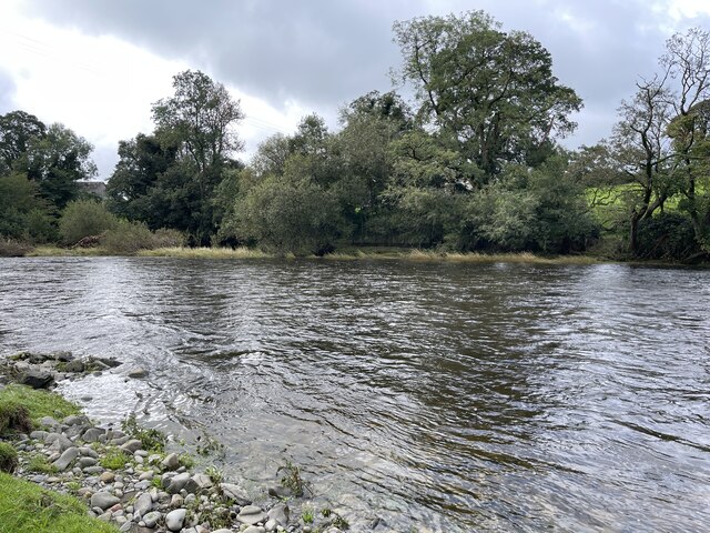
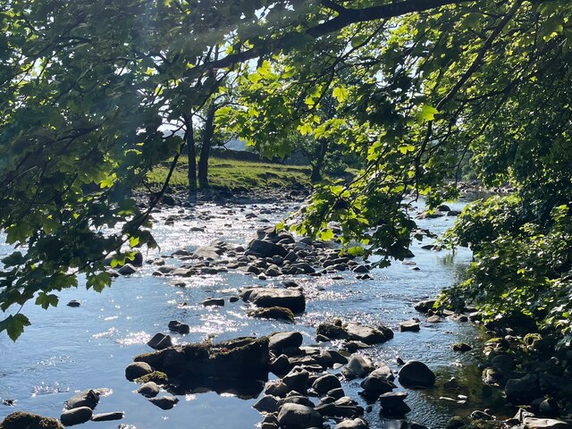
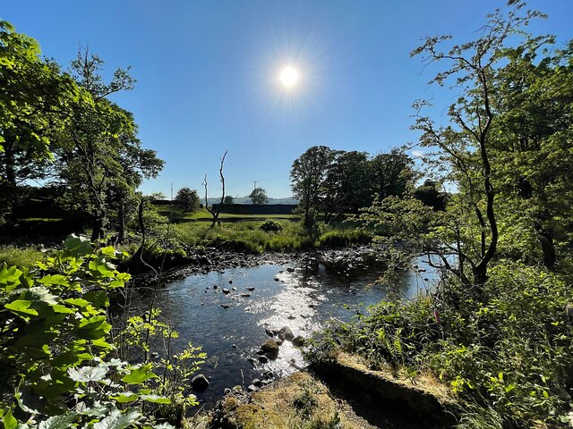
Crow Wood is a picturesque woodland located in the historic county of Westmorland, situated in the North West of England. This enchanting forest covers an area of approximately 100 acres and is known for its diverse range of trees, wildlife, and natural beauty.
The woodland is characterized by a mixture of deciduous and coniferous trees, including oak, beech, birch, and pine. These towering giants create a dense canopy that provides shade and shelter for a variety of flora and fauna. The forest floor is adorned with a vibrant carpet of ferns, bluebells, and wildflowers, adding to the charm and tranquility of the area.
Crow Wood is a haven for wildlife enthusiasts, as it is home to a wide array of species. Visitors may catch a glimpse of red squirrels scampering among the branches, deer gracefully wandering through the undergrowth, or even spot a rare bird such as the great spotted woodpecker or tawny owl. The forest is also teeming with smaller creatures like rabbits, badgers, and foxes, creating a thriving ecosystem.
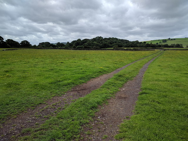
The wood is crisscrossed with a network of footpaths and trails, inviting visitors to explore its natural wonders. The enchanting atmosphere, coupled with the peacefulness of the surroundings, makes it an ideal location for walking, hiking, or simply enjoying a picnic amidst nature.
Crow Wood, with its stunning vistas, abundant wildlife, and tranquil ambiance, offers a captivating experience for nature lovers and is a true gem within the Westmorland countryside.
If you have any feedback on the listing, please let us know in the comments section below.
Crow Wood Images
Images are sourced within 2km of 54.319376/-2.5806724 or Grid Reference SD6291. Thanks to Geograph Open Source API. All images are credited.


Crow Wood is located at Grid Ref: SD6291 (Lat: 54.319376, Lng: -2.5806724)
Administrative County: Cumbria
District: South Lakeland
Police Authority: Cumbria
What 3 Words
///alienated.cheerily.spinning. Near Sedbergh, Cumbria
Nearby Locations
Related Wikis

St Gregory's Church, Vale of Lune
St Gregory's Church, Vale of Lune, also known as the Vale of Lune Chapel, is a redundant Anglican church situated on the A684 road about 1.5 miles (2 km...

Ingmire Hall
Ingmire Hall is a grade II listed 16th century country house built around the remains of a pele tower some 2 miles west of Sedbergh, Cumbria, England.The...

Brigflatts Meeting House
Brigflatts Meeting House or Briggflatts Meeting House is a Friends Meeting House of the Religious Society of Friends (Quakers), near Sedbergh, Cumbria...

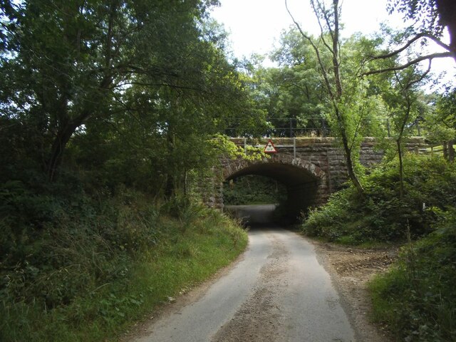
Sedbergh railway station
Sedbergh railway station was located in the West Riding of Yorkshire, serving the town and locale of Sedbergh on the Ingleton Branch Line. The town now...

River Rawthey
The River Rawthey is a river in Cumbria in northwest England. The headwaters of the Rawthey are at Rawthey Gill Foot, where Rawthey Gill meets Haskhaw...

Firbank
Firbank is a village and civil parish in the South Lakeland district of the English county of Cumbria. It has a population of 97. As Firbank had a population...

River Dee, Cumbria
The River Dee is a river running through the extreme south east of Cumbria, a part of the Craven region traditionally part of the West Riding of Yorkshire...
Firbank Fell
Firbank Fell is a hill in Cumbria between the towns of Kendal and Sedbergh that is renowned as a place where George Fox, the founder of the Religious Society...
Nearby Amenities
Located within 500m of 54.319376,-2.5806724Have you been to Crow Wood?
Leave your review of Crow Wood below (or comments, questions and feedback).