Oaks, High

Settlement in Yorkshire South Lakeland

England

Oaks, High

Stangerthwaite Ford This ford on the River Lune is found on the track to Stangerthwaite.
Stangerthwaite Ford Credit: John Walton

Oaks, High is a small village situated in the county of Yorkshire, England. With a population of around 500 residents, it is known for its picturesque countryside and charming community atmosphere. The village is located approximately 10 miles northeast of the bustling city of Leeds.

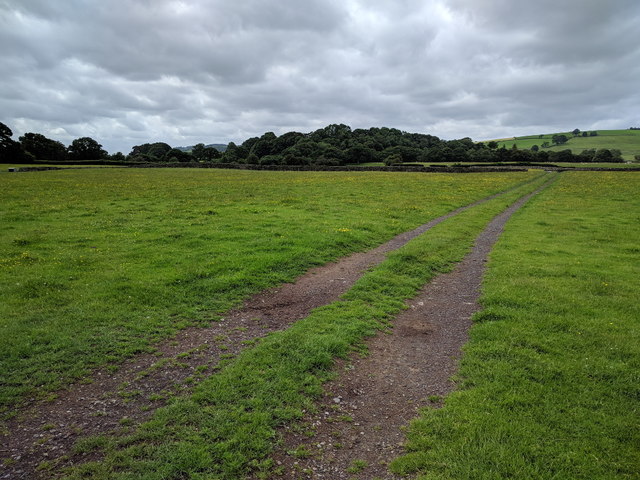
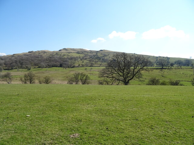
Surrounded by rolling hills and lush green fields, Oaks, High offers a tranquil setting that attracts nature enthusiasts and outdoor lovers. The village is particularly popular among hikers and cyclists, as it provides easy access to the nearby Yorkshire Dales National Park, renowned for its stunning landscapes and scenic trails.

Despite its small size, Oaks, High boasts a strong sense of community spirit. The village has a local pub, The Oak Inn, which serves as a gathering place for residents and visitors alike. It offers a selection of traditional British dishes and ales, creating a warm and inviting atmosphere.

The village also has a primary school, Oaks Primary, which provides education for children aged 5 to 11. The school is highly regarded for its dedicated teachers and nurturing environment.

In terms of amenities, Oaks, High offers a range of essential services, including a post office, a convenience store, and a village hall. These facilities cater to the daily needs of the residents, ensuring they have access to basic necessities without having to travel far.

Overall, Oaks, High is a charming village that offers a peaceful countryside escape while still providing essential amenities and a strong sense of community. It is a place where residents can enjoy the beauty of nature and the warmth of a close-knit community.

If you have any feedback on the listing, please let us know in the comments section below.
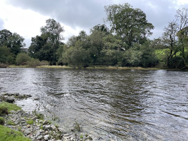
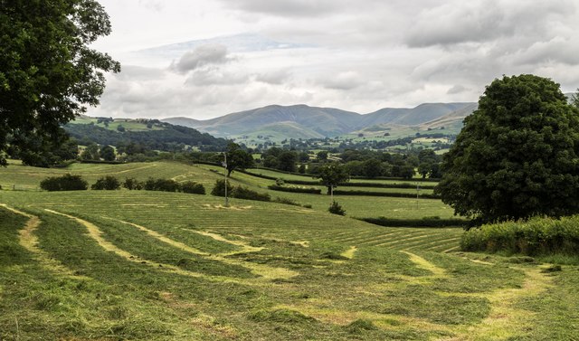
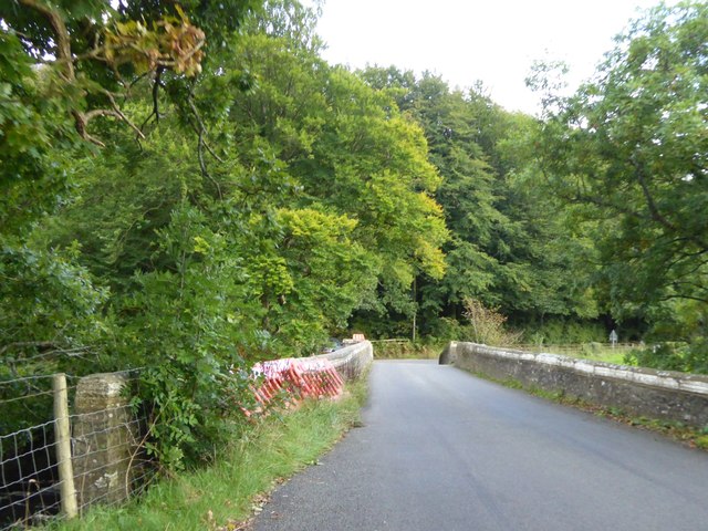
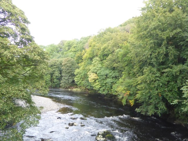
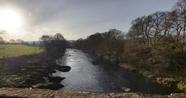
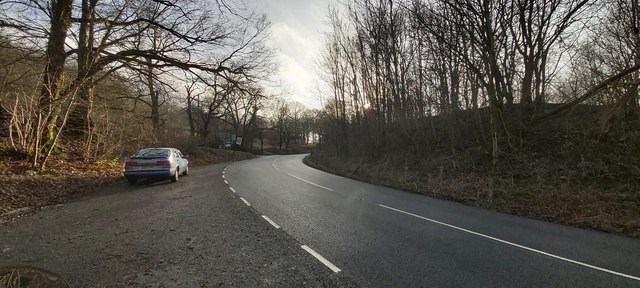
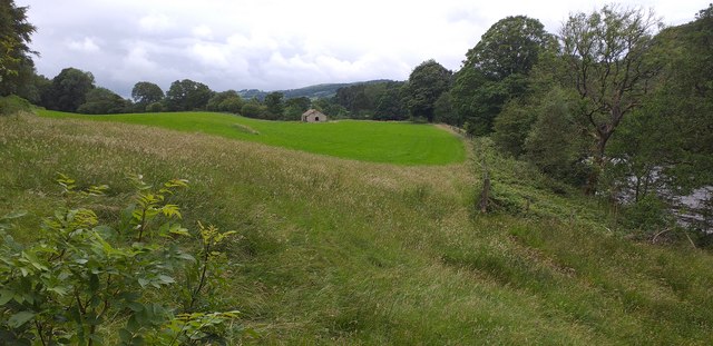
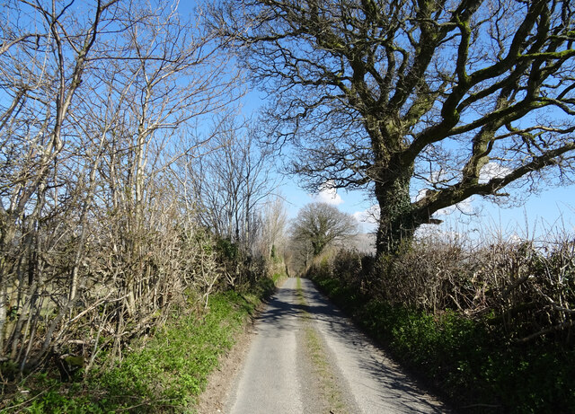
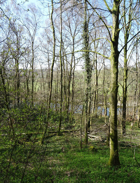
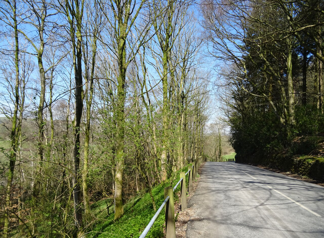
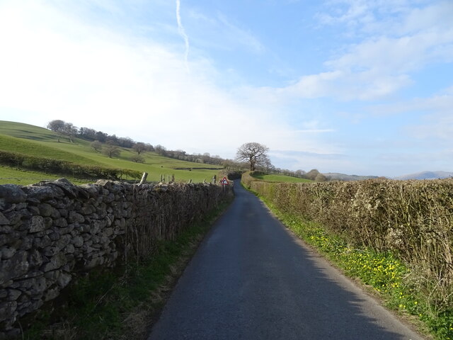
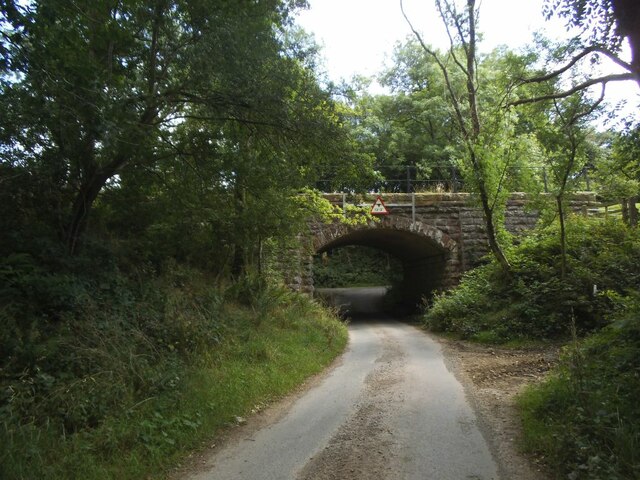
Oaks, High Images

Images are sourced within 2km of 54.313687/-2.573319 or Grid Reference SD6291. Thanks to Geograph Open Source API. All images are credited.

Stangerthwaite Ford This ford on the River Lune is found on the track to Stangerthwaite.
Stangerthwaite Ford
This ford on the River Lune is found on the track to Stangerthwaite.
Yeat Flatts Silage ready for collection on fields at Yeat Flatts Farm.
Yeat Flatts
Silage ready for collection on fields at Yeat Flatts Farm.
Middleton Bridge, over the River Rawthey
The River Rawthey from Middleton Bridge
Track heading across a field
River Rawthey At Middleton Bridge.
River Rawthey
At Middleton Bridge.
River Rawthey At Middleton Bridge.
River Rawthey
At Middleton Bridge.
Old Milestone by the A683, south of Middleton Bridge, Middleton parish Carved stone post by the A683, in parish of MIDDLETON (SOUTH LAKELAND District), 320m South of Middleton Bridge, half mile South of Four Lane Ends, on the verge, on West side of road. Sedbergh SKL stone, erected by the Sedbergh turnpike trust in the 19th century. 

Inscription reads:-
: S / 3 : :  K.L. / 7¾ :
(To Sedbergh and Kirkby Lonsdale)
Carved benchmark and rivet on top left.

Grade II listed.  
List Entry Number: 1086863 <span class="nowrap"><a title="https://historicengland.org.uk/listing/the-list/list-entry/1086863" rel="nofollow ugc noopener" href="https://historicengland.org.uk/listing/the-list/list-entry/1086863">Link</a><img style="margin-left:2px;" alt="External link" title="External link - shift click to open in new window" src="https://s1.geograph.org.uk/img/external.png" width="10" height="10"/></span>

Milestone Society National ID: WE_SBKL03.
Old Milestone by the A683, south of Middleton Bridge, Middleton parish
Carved stone post by the A683, in parish of MIDDLETON (SOUTH LAKELAND District), 320m South of Middleton Bridge, half mile South of Four Lane Ends, on the verge, on West side of road. Sedbergh SKL stone, erected by the Sedbergh turnpike trust in the 19th century. Inscription reads:- : S / 3 : : K.L. / 7¾ : (To Sedbergh and Kirkby Lonsdale) Carved benchmark and rivet on top left. Grade II listed. List Entry Number: 1086863 LinkExternal link Milestone Society National ID: WE_SBKL03.
The River Rawthey from Middleton Bridge
Layby at the Jordan Lane road junction
Near Middleton Bridge Stone barn in field near Middleton Bridge.
Near Middleton Bridge
Stone barn in field near Middleton Bridge.
Grazing off Jordan Lane
Jordan Lane towards Catholes
Woodland above the River Lune Looking down to the river.
Woodland above the River Lune
Looking down to the river.
A683 towards Sedbergh Above the River Lune.
A683 towards Sedbergh
Above the River Lune.
Lane towards the B6256
Jordan Lane railway bridge The railway was the LMS route between the 'Little North Western' line at Clapham and their main line to Scotland at Lowgill, via Ingleton. The last passenger train ran in 1954 and the line was lifted around 1967. See <a href="https://www.geograph.org.uk/photo/3534909">SD6390 : Bridge of dismantled railway over Jordan Lane</a> for the other side.
Jordan Lane railway bridge
The railway was the LMS route between the 'Little North Western' line at Clapham and their main line to Scotland at Lowgill, via Ingleton. The last passenger train ran in 1954 and the line was lifted around 1967. See SD6390 : Bridge of dismantled railway over Jordan Lane for the other side.
Holme Farm Described as an 'open' farm in the sense that they run activities for the public, as well as a campsite. This track through the farmyard is also open in the sense of being a public bridleway.
Holme Farm
Described as an 'open' farm in the sense that they run activities for the public, as well as a campsite. This track through the farmyard is also open in the sense of being a public bridleway.
Show me another place!

Oaks, High is located at Grid Ref: SD6291 (Lat: 54.313687, Lng: -2.573319)

Division: West Riding

Administrative County: Cumbria

District: South Lakeland

Police Authority: Cumbria

What 3 Words

///mallets.satin.barmaid. Near Sedbergh, Cumbria

Related Wikis

Ingmire Hall

Ingmire Hall is a grade II listed 16th century country house built around the remains of a pele tower some 2 miles west of Sedbergh, Cumbria, England.The...

Brigflatts Meeting House

Brigflatts Meeting House or Briggflatts Meeting House is a Friends Meeting House of the Religious Society of Friends (Quakers), near Sedbergh, Cumbria...

St Gregory's Church, Vale of Lune

St Gregory's Church, Vale of Lune, also known as the Vale of Lune Chapel, is a redundant Anglican church situated on the A684 road about 1.5 miles (2 km...
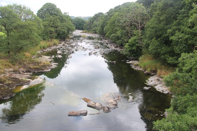
River Rawthey

The River Rawthey is a river in Cumbria in northwest England. The headwaters of the Rawthey are at Rawthey Gill Foot, where Rawthey Gill meets Haskhaw...

Sedbergh railway station

Sedbergh railway station was located in the West Riding of Yorkshire, serving the town and locale of Sedbergh on the Ingleton Branch Line. The town now...
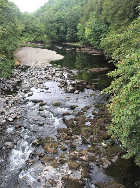
River Dee, Cumbria

The River Dee is a river running through the extreme south east of Cumbria, a part of the Craven region traditionally part of the West Riding of Yorkshire...

Killington, Cumbria

Killington is a village and civil parish in the South Lakeland district of the county of Cumbria, England. It had a population of 152 in 2001, At the...

Middleton-on-Lune railway station

Middleton-on-Lune railway station was located in Westmorland, England, (now in Cumbria), serving the hamlet and rural locale of Middleton on the Ingleton...

Nearby Amenities

Located within 500m of 54.313687,-2.573319
Barrier: stile
Lat/Long: 54.3142072/-2.5752841
Give Way
Direction: forward
Lat/Long: 54.3121519/-2.5704508
Hiking: yes
Information: guidepost
Source: GPS survey
Tourism: information
Lat/Long: 54.3168604/-2.574977
Hiking: yes
Information: guidepost
Source: GPS survey
Tourism: information
Lat/Long: 54.315741/-2.5763986
Hiking: yes
Information: guidepost
Source: GPS survey
Tourism: information
Lat/Long: 54.31389/-2.5751875
Hiking: yes
Information: guidepost
Source: GPS survey
Tourism: information
Lat/Long: 54.3145479/-2.5707297
Barrier: kissing_gate
Image: https://www.geograph.org.uk/photo/3198612
Lat/Long: 54.3138982/-2.5679789
Hiking: yes
Information: route_marker
Source: GPS survey
Tourism: information
Lat/Long: 54.3138642/-2.567794
Barrier: entrance
Lat/Long: 54.3131789/-2.5694436
Fixme: Continue
Lat/Long: 54.3144635/-2.5757937
The Oaks
Place: hamlet
Lat/Long: 54.3137703/-2.5747074
Barrier: entrance
Lat/Long: 54.3141928/-2.5726904
Barrier: entrance
Lat/Long: 54.3143641/-2.5736694
Power: pole
Lat/Long: 54.3119927/-2.5729558
Power: pole
Lat/Long: 54.3130148/-2.5734689
Power: pole
Lat/Long: 54.3135085/-2.5737245
Power: pole
Lat/Long: 54.3107739/-2.5773634
The data included in this document is from www.openstreetmap.org. The data is made available under ODbL.

Have you been to Oaks, High?

Leave your review of Oaks, High below (or comments, questions and feedback).