Park Wood

Wood, Forest in Cumberland Eden

England

Park Wood

Carmoor Wood
Carmoor Wood Credit: Andrew Smith

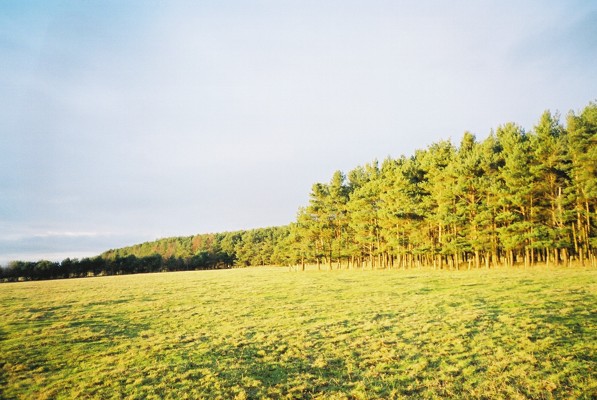
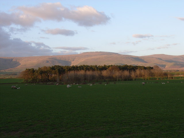
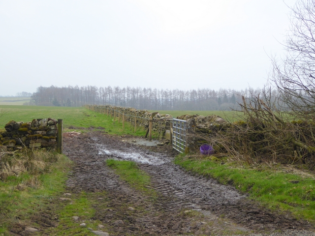
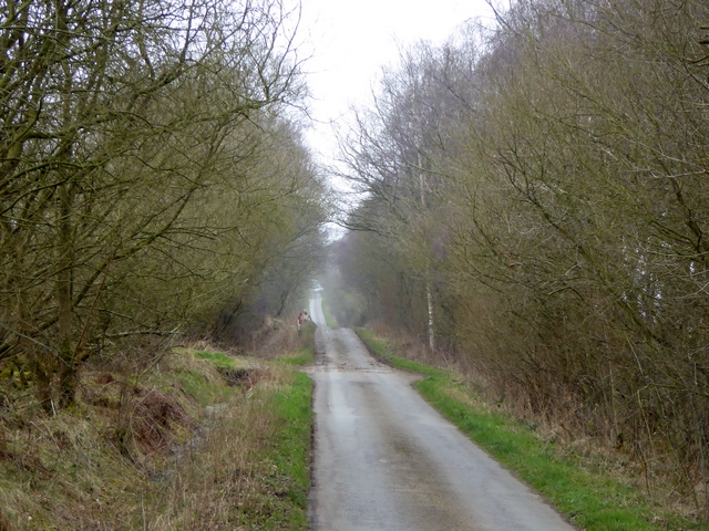
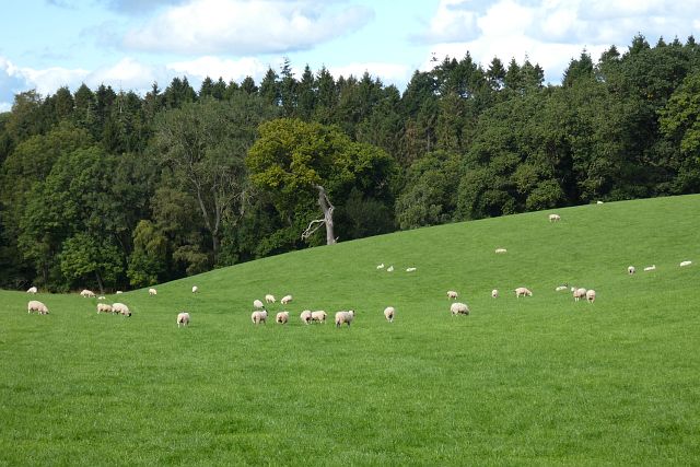
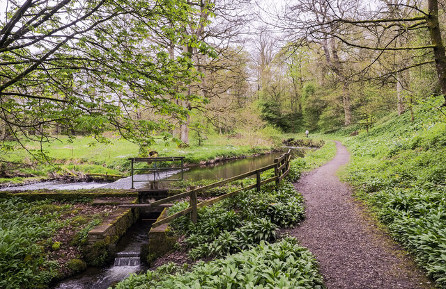
Park Wood, Cumberland (also known as Wood or Forest) is a picturesque woodland located in the county of Cumberland, England. Spanning an area of approximately 150 acres, this ancient forest is renowned for its natural beauty and rich biodiversity.

The woodland consists predominantly of deciduous trees, with a mixture of oak, beech, and birch trees dominating the landscape. These towering trees create a dense canopy, providing a haven for a diverse range of flora and fauna. The forest floor is covered in a lush carpet of ferns, mosses, and wildflowers, adding to the enchanting atmosphere of the wood.

Park Wood is home to an array of wildlife, including various bird species like woodpeckers, owls, and songbirds. Small mammals such as squirrels, rabbits, and hedgehogs can also be spotted scurrying through the undergrowth. The forest is particularly notable for its population of red deer, which roam freely within its boundaries.

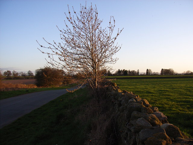
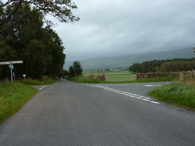
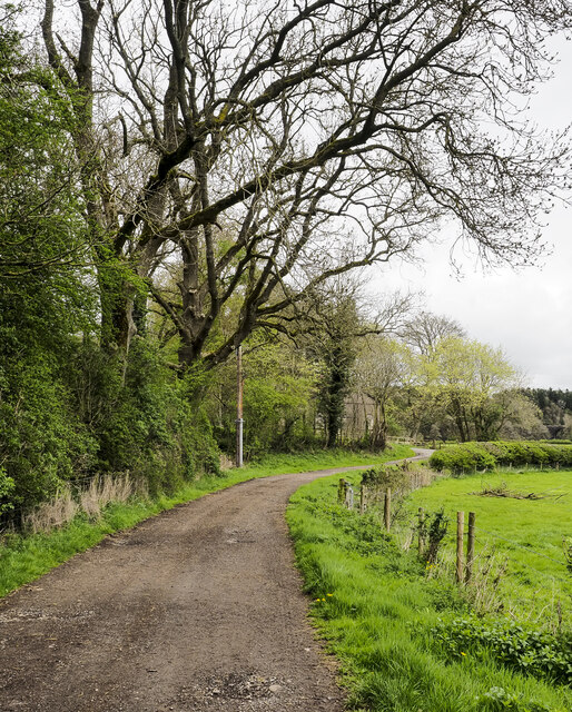
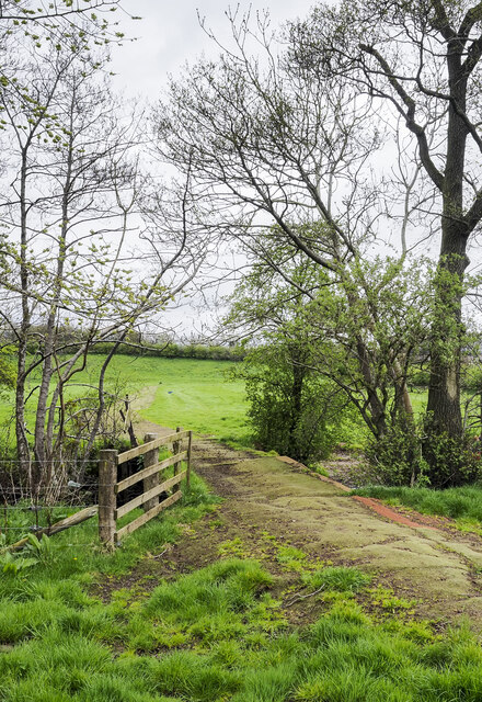
The wood offers numerous walking trails and paths, allowing visitors to explore its hidden treasures. These trails lead to scenic viewpoints, tranquil ponds, and ancient ruins, providing a sense of history and mystique. The wood is often frequented by nature enthusiasts, hikers, and birdwatchers, who revel in the tranquility and natural splendor it offers.

Park Wood, Cumberland is not only a haven for wildlife but also a cherished recreational space for locals and tourists alike. It embodies the essence of a traditional English woodland, with its idyllic scenery, abundant wildlife, and serene atmosphere. A visit to this woodland is sure to leave one feeling refreshed, connected to nature, and in awe of its timeless beauty.

If you have any feedback on the listing, please let us know in the comments section below.
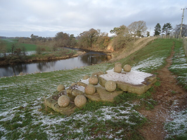
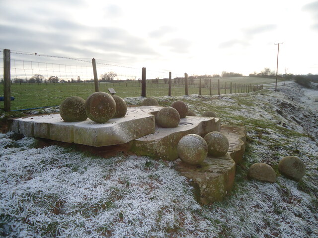
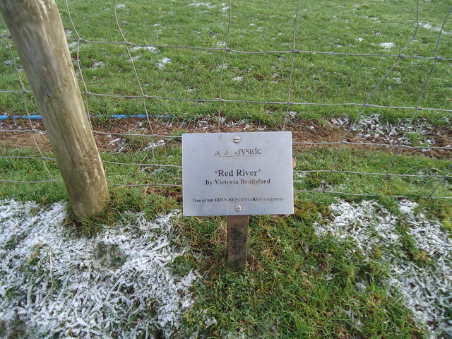
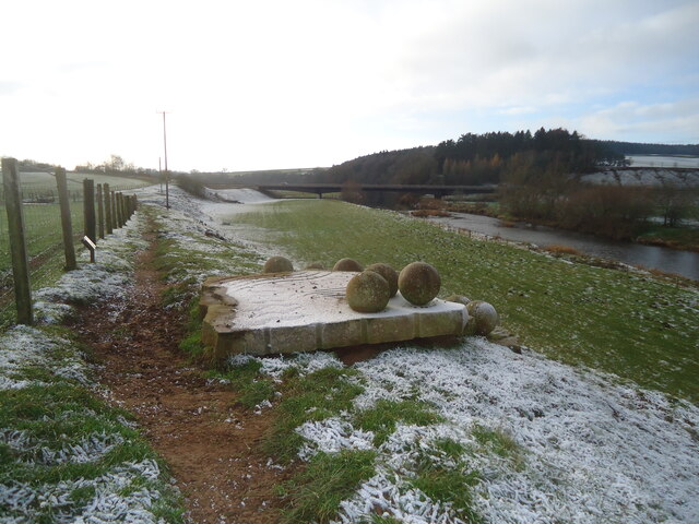
Park Wood Images

Images are sourced within 2km of 54.649972/-2.5921656 or Grid Reference NY6128. Thanks to Geograph Open Source API. All images are credited.

Carmoor Wood
Carmoor Wood
Looking south from Cross How
Pastures at Cross How View to Shepherdmoor Wood and Cross Fell
Pastures at Cross How
View to Shepherdmoor Wood and Cross Fell
Cross How The Skirwith to Culgaith road.
Cross How
The Skirwith to Culgaith road.
Crossroads at Cross Hill
Field opposite Carmoor Wood The line of trees in the distance lies along Crowdundle Beck.
Field opposite Carmoor Wood
The line of trees in the distance lies along Crowdundle Beck.
Road through Carmoor Wood
The Black Swan Inn free house, Culgaith View of the front of the Black Swan from the cul-de-sac opposite.
The Black Swan Inn free house, Culgaith
View of the front of the Black Swan from the cul-de-sac opposite.
View of houses in Culgaith past trees beside Settle-Carlisle Railway Line
St James's Church, Temple Sowerby St James's Church, the parish church in Temple Sowerby.
St James's Church, Temple Sowerby
St James's Church, the parish church in Temple Sowerby.
Pasture, Newbiggin Sheep grazing above the woodland that surrounds Milburn Beck.
Pasture, Newbiggin
Sheep grazing above the woodland that surrounds Milburn Beck.
Red River - Eden Benchmark no. 4 Looking downstream on the River Eden at Temple Sowerby.

For more information about the Eden Benchmarks, see <a title="https://www.geograph.org.uk/article/The-Eden-Benchmarks" href="https://www.geograph.org.uk/article/The-Eden-Benchmarks">Link</a> .
Red River - Eden Benchmark no. 4
Looking downstream on the River Eden at Temple Sowerby. For more information about the Eden Benchmarks, see Link .
Red River - Eden Benchmark no. 4 This benchmark has a collection of stones apparently waiting to roll into the river.

For more information about the Eden Benchmarks, see <a title="https://www.geograph.org.uk/article/The-Eden-Benchmarks" href="https://www.geograph.org.uk/article/The-Eden-Benchmarks">Link</a> .
Red River - Eden Benchmark no. 4
This benchmark has a collection of stones apparently waiting to roll into the river. For more information about the Eden Benchmarks, see Link .
Red River - plaque for Eden Benchmark no. 4 For more information about the Eden Benchmarks, see <a title="https://www.geograph.org.uk/article/The-Eden-Benchmarks" href="https://www.geograph.org.uk/article/The-Eden-Benchmarks">Link</a> .
Red River - plaque for Eden Benchmark no. 4
For more information about the Eden Benchmarks, see Link .
Red River - Eden Benchmark no. 4 Looking upstream.  The A66 Temple Sowerby bypass can be seen crossing the river.

For more information about the Eden Benchmarks, see <a title="https://www.geograph.org.uk/article/The-Eden-Benchmarks" href="https://www.geograph.org.uk/article/The-Eden-Benchmarks">Link</a> .
Red River - Eden Benchmark no. 4
Looking upstream. The A66 Temple Sowerby bypass can be seen crossing the river. For more information about the Eden Benchmarks, see Link .
Weir on Crowdundle Beck The weir is a low dam intended to maintain a water level rather than to impound a quantity of it. It's imagined that the water taken from the river is used to supply the Acorn Bank Water Mill as a power source although OS mapping even at larger scales suggests that it's returned to the main flow before serving any purpose: that would be pointless!
Weir on Crowdundle Beck
The weir is a low dam intended to maintain a water level rather than to impound a quantity of it. It's imagined that the water taken from the river is used to supply the Acorn Bank Water Mill as a power source although OS mapping even at larger scales suggests that it's returned to the main flow before serving any purpose: that would be pointless!
Dirt road beside Newbarn Wood The road is heading north towards Milburn Road where a building can just be detected through foliage. The National Trust record for it describes it as an engine house associated with gypsum mining at Acorn Bank.
Dirt road beside Newbarn Wood
The road is heading north towards Milburn Road where a building can just be detected through foliage. The National Trust record for it describes it as an engine house associated with gypsum mining at Acorn Bank.
Bridge with 'fabric' covering The farm track and bridge are both covered with some kind of material. The route begins at Williamsgill Farm which is hidden behind the trees. Crowdundle Beck flows beneath the bridge.
Bridge with 'fabric' covering
The farm track and bridge are both covered with some kind of material. The route begins at Williamsgill Farm which is hidden behind the trees. Crowdundle Beck flows beneath the bridge.
Show me another place!

Park Wood is located at Grid Ref: NY6128 (Lat: 54.649972, Lng: -2.5921656)

Administrative County: Cumbria

District: Eden

Police Authority: Cumbria

What 3 Words

///positions.driving.upwardly. Near Appleby-in-Westmorland, Cumbria

Related Wikis

Acorn Bank Garden & Watermill

Acorn Bank Garden & Watermill is a National Trust property situated just north of Temple Sowerby, near Penrith, Cumbria, England. The property is noted...

Newbiggin, Kirkby Thore

Newbiggin is a village and civil parish near the larger village of Temple Sowerby, in the Eden District of the English county of Cumbria. In 2001 it had...

New Biggin railway station

New Biggin or Newbiggin was a railway station which served the village of Newbiggin near Kirkby Thore in Newbiggin parish, Cumbria, England. It was located...

Culgaith railway station

Culgaith railway station served the village of Culgaith in Cumberland (now in Cumbria), England. == History == The Settle-Carlisle Line is open however...

Culgaith

Culgaith is a village and civil parish in the Eden district of Cumbria, England. It is located on the River Eden, between Temple Sowerby and Langwathby...

Temple Sowerby

Temple Sowerby is a village and civil parish in Cumbria, northern England. It is close to the main east–west A66 road about 8 miles (13 km) east of Penrith...

River Eamont

The River Eamont is a river in Cumbria, England and one of the major tributaries of the River Eden. The name of the river is from Old English (ēa-gemōt...

Temple Sowerby railway station

Temple Sowerby railway station was a railway station situated on the Eden Valley Railway between Penrith and Kirkby Stephen East. It served the village...

Nearby Amenities

Located within 500m of 54.649972,-2.5921656
Image: https://www.geograph.org.uk/photo/5322139
Waterway: weir
Lat/Long: 54.6480443/-2.5936639
Acorn Bank House
Local Ref: AT
Naptan AtcoCode: 090074651074
Naptan Bearing: E
Naptan BusStopType: CUS
Naptan CommonName: Acorn Bank House
Naptan Indicator: at
Naptan Landmark: Acorn Bank House
Naptan NaptanCode: cumdgjmg
Naptan Street: No name
Naptan Verified: no
Source: naptan_import
Lat/Long: 54.647443/-2.5953404
Ford: yes
Lat/Long: 54.6486784/-2.5898242
Barrier: entrance
Lat/Long: 54.6471388/-2.5941023
Second Hand: only
Shop: books
Lat/Long: 54.64759/-2.5944203
Cafe
Operator: National Trust
Outdoor Seating: yes
Takeaway: yes
Lat/Long: 54.6473704/-2.5943446
Toilets
Access: customers
Fee: no
Female: yes
Male: yes
Lat/Long: 54.6474247/-2.5944243
Entrance: yes
Wikidata: Q26556495
Lat/Long: 54.6473212/-2.5942917
Toilets
Access: customers
Changing Table: yes
Fee: no
Unisex: yes
Lat/Long: 54.647389/-2.5940327
Entrance: main
Lat/Long: 54.6475964/-2.5945415
Barrier: cattle_grid
Lat/Long: 54.6475731/-2.5953815
Image: https://www.geograph.org.uk/photo/5322139
Waterway: sluice_gate
Lat/Long: 54.6479954/-2.5937826
Kenneth Boazman's drift mine
Board Type: history
Information: board
Note: More of artwork than classic information board!
Tourism: information
Lat/Long: 54.6460116/-2.5902307
Disused: yes
Historic: mine
Image: https://www.geograph.org.uk/photo/4610786
Resource: gypsum
Lat/Long: 54.6459263/-2.59011
Clock
Display: sundial
Wikidata: Q26520254
Lat/Long: 54.6474596/-2.5946899
Bench
Backrest: yes
Material: wood
Lat/Long: 54.6460776/-2.590114
Entrance: yes
Lat/Long: 54.6489097/-2.5990787
Entrance: yes
Lat/Long: 54.6488427/-2.5989604
Bench
Backrest: yes
Fixme: Confirm location
Lat/Long: 54.6490953/-2.5973949
Tourism: picnic_site
Lat/Long: 54.6481456/-2.5954677
Barrier: entrance
Lat/Long: 54.6474939/-2.5942339
Leisure: outdoor_seating
Lat/Long: 54.6473956/-2.5942051
The data included in this document is from www.openstreetmap.org. The data is made available under ODbL.

Have you been to Park Wood?

Leave your review of Park Wood below (or comments, questions and feedback).