Acorn Bank

Heritage Site in Cumberland Eden

England

Acorn Bank

Looking south from Cross How
Looking south from Cross How Credit: Andrew Smith

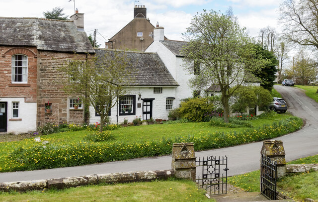
Acorn Bank, located in the county of Cumberland, England, is a renowned heritage site that attracts visitors from all over the world. The estate, situated near the village of Temple Sowerby, is a unique blend of history, nature, and architectural beauty.

Dating back to the 13th century, Acorn Bank has a rich and fascinating history. Originally a medieval fortress, it was transformed into a fortified manor house in the 16th century. Today, the property is primarily known for its beautifully preserved 17th-century sandstone house, which showcases the architectural style of that era.

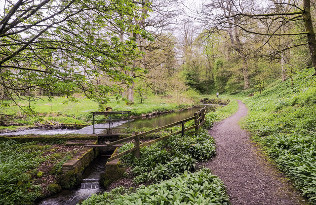
One of the highlights of Acorn Bank is its magnificent gardens. Spanning over 30 acres, the gardens offer a breathtaking display of vibrant flowers, ancient trees, and tranquil water features. Visitors can explore the walled garden, which boasts a diverse range of plants, including rare and exotic species. The herb garden is a particular favorite, with its aromatic scents and medicinal plants.

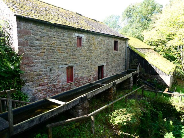
The estate is also home to a working watermill, where visitors can witness the traditional milling process in action. The mill, powered by the nearby Crowdundle Beck, has been producing flour for centuries and provides a unique insight into the region's industrial heritage.

Acorn Bank is managed by the National Trust, which has carefully preserved and maintained the property for future generations. The site offers guided tours, educational programs, and various events throughout the year, making it an ideal destination for history enthusiasts, nature lovers, and families alike.

In conclusion, Acorn Bank is a captivating heritage site in Cumberland, offering a fascinating glimpse into the region's past, stunning gardens, and a chance to experience authentic traditional milling.

If you have any feedback on the listing, please let us know in the comments section below.
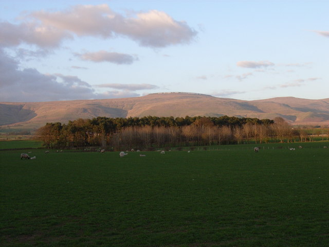
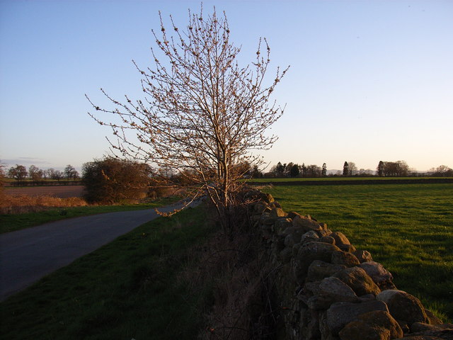
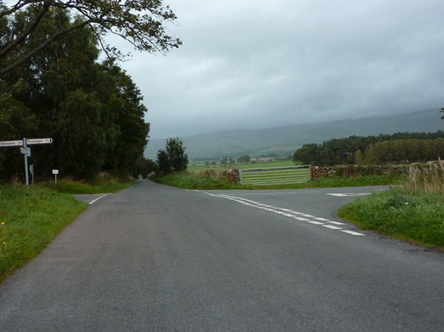
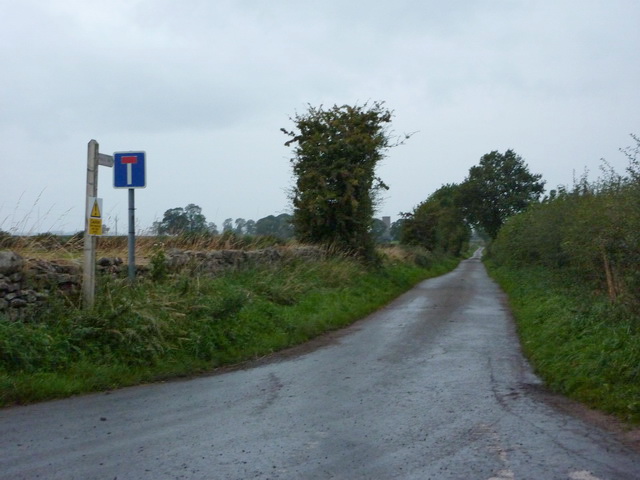
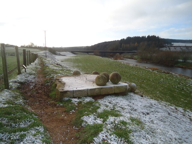
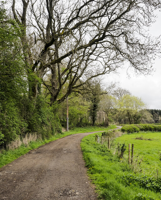
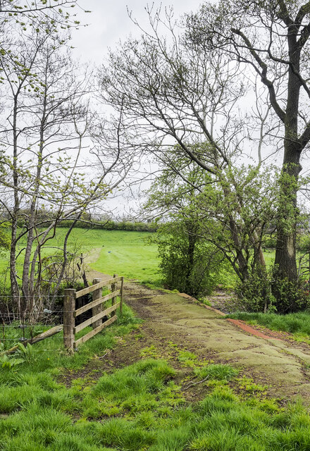
Acorn Bank Images

Images are sourced within 2km of 54.65/-2.597 or Grid Reference NY6128. Thanks to Geograph Open Source API. All images are credited.

Looking south from Cross How
Pastures at Cross How View to Shepherdmoor Wood and Cross Fell
Pastures at Cross How
View to Shepherdmoor Wood and Cross Fell
Cross How The Skirwith to Culgaith road.
Cross How
The Skirwith to Culgaith road.
Crossroads at Cross Hill
Road to Staingills
Road to Staingills
The Black Swan Inn free house, Culgaith View of the front of the Black Swan from the cul-de-sac opposite.
The Black Swan Inn free house, Culgaith
View of the front of the Black Swan from the cul-de-sac opposite.
View of houses in Culgaith past trees beside Settle-Carlisle Railway Line
St James's Church, Temple Sowerby St James's Church, the parish church in Temple Sowerby.
St James's Church, Temple Sowerby
St James's Church, the parish church in Temple Sowerby.
Pasture, Newbiggin Sheep grazing above the woodland that surrounds Milburn Beck.
Pasture, Newbiggin
Sheep grazing above the woodland that surrounds Milburn Beck.
Red River - Eden Benchmark no. 4 Looking downstream on the River Eden at Temple Sowerby.

For more information about the Eden Benchmarks, see <a title="https://www.geograph.org.uk/article/The-Eden-Benchmarks" href="https://www.geograph.org.uk/article/The-Eden-Benchmarks">Link</a> .
Red River - Eden Benchmark no. 4
Looking downstream on the River Eden at Temple Sowerby. For more information about the Eden Benchmarks, see Link .
Red River - Eden Benchmark no. 4 This benchmark has a collection of stones apparently waiting to roll into the river.

For more information about the Eden Benchmarks, see <a title="https://www.geograph.org.uk/article/The-Eden-Benchmarks" href="https://www.geograph.org.uk/article/The-Eden-Benchmarks">Link</a> .
Red River - Eden Benchmark no. 4
This benchmark has a collection of stones apparently waiting to roll into the river. For more information about the Eden Benchmarks, see Link .
Red River - plaque for Eden Benchmark no. 4 For more information about the Eden Benchmarks, see <a title="https://www.geograph.org.uk/article/The-Eden-Benchmarks" href="https://www.geograph.org.uk/article/The-Eden-Benchmarks">Link</a> .
Red River - plaque for Eden Benchmark no. 4
For more information about the Eden Benchmarks, see Link .
Red River - Eden Benchmark no. 4 Looking upstream.  The A66 Temple Sowerby bypass can be seen crossing the river.

For more information about the Eden Benchmarks, see <a title="https://www.geograph.org.uk/article/The-Eden-Benchmarks" href="https://www.geograph.org.uk/article/The-Eden-Benchmarks">Link</a> .
Red River - Eden Benchmark no. 4
Looking upstream. The A66 Temple Sowerby bypass can be seen crossing the river. For more information about the Eden Benchmarks, see Link .
Weir on Crowdundle Beck The weir is a low dam intended to maintain a water level rather than to impound a quantity of it. It's imagined that the water taken from the river is used to supply the Acorn Bank Water Mill as a power source although OS mapping even at larger scales suggests that it's returned to the main flow before serving any purpose: that would be pointless!
Weir on Crowdundle Beck
The weir is a low dam intended to maintain a water level rather than to impound a quantity of it. It's imagined that the water taken from the river is used to supply the Acorn Bank Water Mill as a power source although OS mapping even at larger scales suggests that it's returned to the main flow before serving any purpose: that would be pointless!
Dirt road beside Newbarn Wood The road is heading north towards Milburn Road where a building can just be detected through foliage. The National Trust record for it describes it as an engine house associated with gypsum mining at Acorn Bank.
Dirt road beside Newbarn Wood
The road is heading north towards Milburn Road where a building can just be detected through foliage. The National Trust record for it describes it as an engine house associated with gypsum mining at Acorn Bank.
Bridge with 'fabric' covering The farm track and bridge are both covered with some kind of material. The route begins at Williamsgill Farm which is hidden behind the trees. Crowdundle Beck flows beneath the bridge.
Bridge with 'fabric' covering
The farm track and bridge are both covered with some kind of material. The route begins at Williamsgill Farm which is hidden behind the trees. Crowdundle Beck flows beneath the bridge.
Small cottages in Temple Sowerby The cottages are across the road from the Church of St. James, the image being recorded from the door to the porch of the building.
Small cottages in Temple Sowerby
The cottages are across the road from the Church of St. James, the image being recorded from the door to the porch of the building.
Acorn Bank watermill Restored water mill  on the Acorn Bank National Trust estate. The earliest record of a mill on this site dates from 1323, although the present building is 19th century.
Acorn Bank watermill
Restored water mill on the Acorn Bank National Trust estate. The earliest record of a mill on this site dates from 1323, although the present building is 19th century.
Show me another place!

Acorn Bank is located at Grid Ref: NY6128 (Lat: 54.65, Lng: -2.597)

Administrative County: Cumbria

District: Eden

Police Authority: Cumbria

What 3 Words

///situated.storybook.unopposed. Near Penrith, Cumbria

Related Wikis

Nearby Amenities

Located within 500m of 54.65,-2.597
Image: https://www.geograph.org.uk/photo/5322139
Waterway: weir
Lat/Long: 54.6480443/-2.5936639
Acorn Bank House
Local Ref: AT
Naptan AtcoCode: 090074651074
Naptan Bearing: E
Naptan BusStopType: CUS
Naptan CommonName: Acorn Bank House
Naptan Indicator: at
Naptan Landmark: Acorn Bank House
Naptan NaptanCode: cumdgjmg
Naptan Street: No name
Naptan Verified: no
Source: naptan_import
Lat/Long: 54.647443/-2.5953404
Ford: yes
Lat/Long: 54.6486784/-2.5898242
Barrier: entrance
Lat/Long: 54.6471388/-2.5941023
Barrier: cattle_grid
Lat/Long: 54.6471123/-2.6023552
Second Hand: only
Shop: books
Lat/Long: 54.64759/-2.5944203
Cafe
Operator: National Trust
Outdoor Seating: yes
Takeaway: yes
Lat/Long: 54.6473704/-2.5943446
Toilets
Access: customers
Fee: no
Female: yes
Male: yes
Lat/Long: 54.6474247/-2.5944243
Entrance: yes
Wikidata: Q26556495
Lat/Long: 54.6473212/-2.5942917
Toilets
Access: customers
Changing Table: yes
Fee: no
Unisex: yes
Lat/Long: 54.647389/-2.5940327
Entrance: main
Lat/Long: 54.6475964/-2.5945415
Barrier: cattle_grid
Lat/Long: 54.6475731/-2.5953815
Image: https://www.geograph.org.uk/photo/5322139
Waterway: sluice_gate
Lat/Long: 54.6479954/-2.5937826
Clock
Display: sundial
Wikidata: Q26520254
Lat/Long: 54.6474596/-2.5946899
Entrance: yes
Lat/Long: 54.6489097/-2.5990787
Entrance: yes
Lat/Long: 54.6488427/-2.5989604
Bench
Backrest: yes
Fixme: Confirm location
Lat/Long: 54.6490953/-2.5973949
Tourism: picnic_site
Lat/Long: 54.6481456/-2.5954677
Barrier: entrance
Lat/Long: 54.6474939/-2.5942339
Leisure: outdoor_seating
Lat/Long: 54.6473956/-2.5942051
The data included in this document is from www.openstreetmap.org. The data is made available under ODbL.

Have you been to Acorn Bank?

Leave your review of Acorn Bank below (or comments, questions and feedback).