Aconbury

Heritage Site in Herefordshire

England

Aconbury

View towards Wallbrook Wood and Aconbury Hill
View towards Wallbrook Wood and Aconbury Hill Credit: Roger Cornfoot

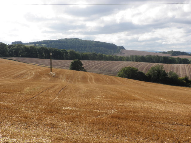
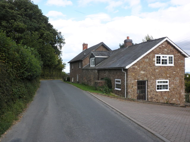
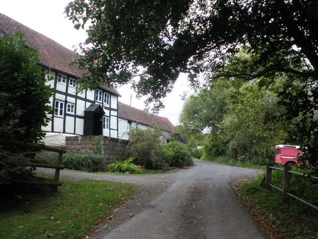
Aconbury is a small village located in the county of Herefordshire, England. It is situated near the city of Hereford and is known for its rich historical heritage. The village is set amidst picturesque countryside and offers breathtaking views of the surrounding landscape.

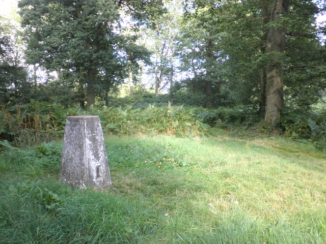
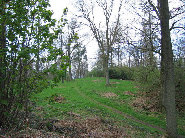
One of the main attractions in Aconbury is the Aconbury Iron Age Hillfort. This ancient hillfort dates back to the Iron Age and is believed to have been occupied by the Dobunni tribe. The hillfort is surrounded by impressive earthworks and offers visitors a glimpse into the lives of the people who lived here thousands of years ago.

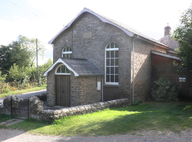
Another notable feature of Aconbury is the St. John the Baptist Church. This charming parish church is a fine example of Norman architecture and boasts a beautiful interior with intricate stone carvings. It has been a place of worship for centuries and continues to hold regular services for the local community.

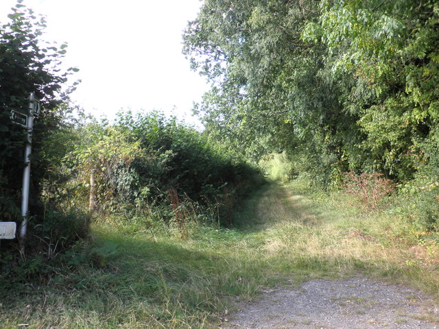
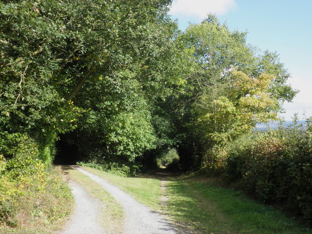
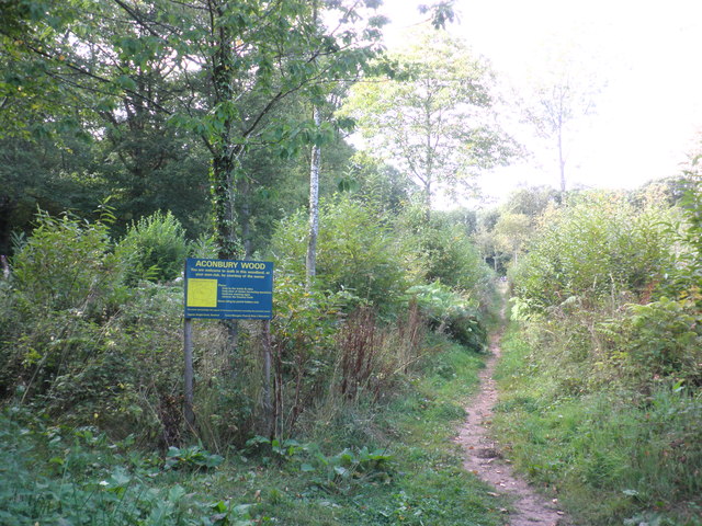
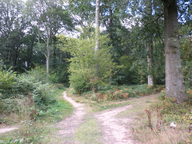
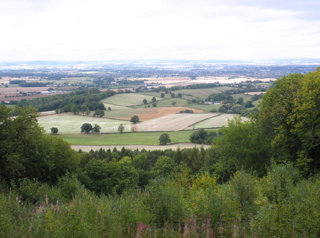
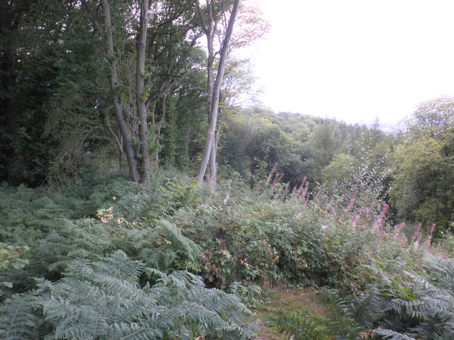
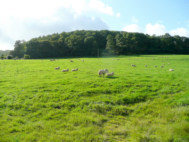
Aconbury is also known for its scenic walks and hiking trails. The village is surrounded by lush green fields and woodlands, making it the perfect destination for outdoor enthusiasts. Visitors can explore the countryside on foot or by bike, taking in the tranquil beauty of the area.

Overall, Aconbury is a hidden gem in Herefordshire, offering a unique blend of history, natural beauty, and rural charm. Whether it's exploring the ancient hillfort, admiring the historic church, or simply enjoying the peaceful countryside, Aconbury has something to offer for everyone.

If you have any feedback on the listing, please let us know in the comments section below.
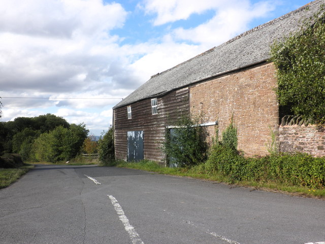
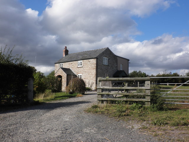
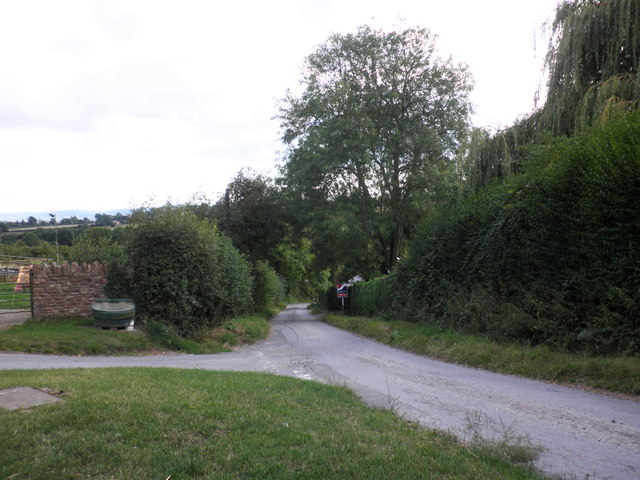
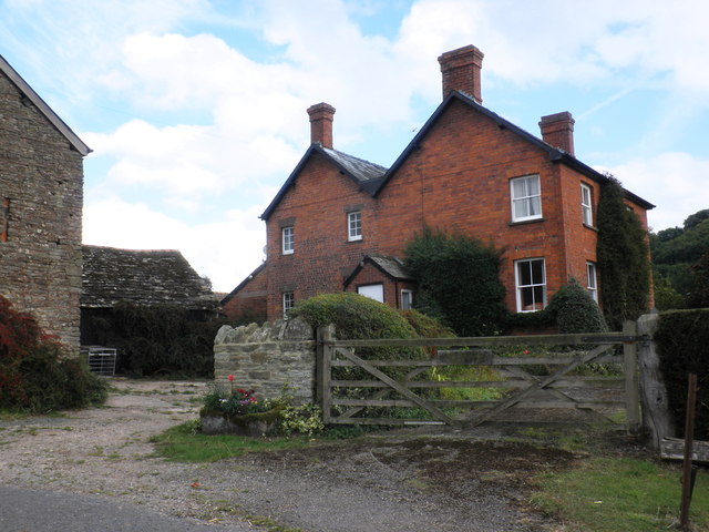
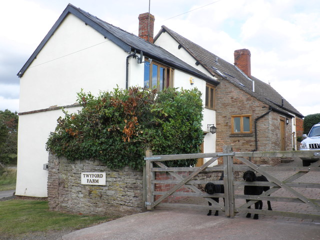
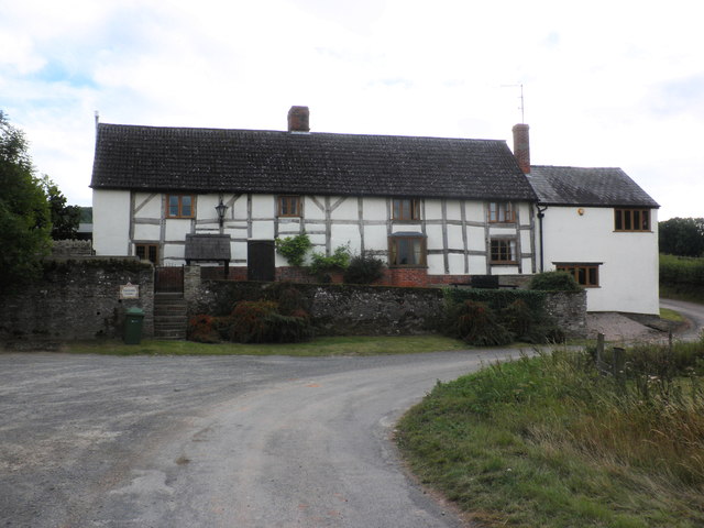
Aconbury Images

Images are sourced within 2km of 51.997/-2.72 or Grid Reference SO5033. Thanks to Geograph Open Source API. All images are credited.

View towards Wallbrook Wood and Aconbury Hill
Barn at Caldicott Farm
Pies Nest
Pies Nest
Bridleway, leading north from Barrack Hill
Bridleway to Little Birch
Primitive Methodist Chapel, King's Thorn
Entrance path, Aconbury Wood
Footpath crossroads, Aconbury Woods
Trig point on Aconbury Hill
View towards King's Pitts from Aconbury Hill
Aconbury Iron-age fort, ramparts
Cottage, Little Birch
Lane to Much Birch
Lane to Much Birch
King's Pitts Farm
King's Pitts Farm
Dogs on guard, at Twyford farm
Twyford farmhouse
Twyford farmhouse
Twyford Common
Twyford Common
Aconbury Hill An easy stroll through the trees. Ample parking by the church to the south.
Name: Aconbury Hill
Hill number: 2864
Height: 276m / 906ft
Area: 38B: West Gloucestershire, Hereford & Worcester
Class: Ma
Grid ref: SO 50585 33000
Summit feature: trig point
Drop: 157m
Col: 119m  SO492302
Aconbury Hill
An easy stroll through the trees. Ample parking by the church to the south. Name: Aconbury Hill Hill number: 2864 Height: 276m / 906ft Area: 38B: West Gloucestershire, Hereford & Worcester Class: Ma Grid ref: SO 50585 33000 Summit feature: trig point Drop: 157m Col: 119m SO492302
Show me another place!

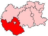
Aconbury is located at Grid Ref: SO5033 (Lat: 51.997, Lng: -2.72)

Unitary Authority: County of Herefordshire

Police Authority: West Mercia

What 3 Words

///crackled.cover.evoked. Near Callow, Herefordshire

Related Wikis

Nearby Amenities

Located within 500m of 51.997,-2.72
Aconbury Hill
Ele: 276
Man Made: survey_point
Natural: peak
Lat/Long: 51.9931998/-2.7210463
Held Wood
Place: locality
Lat/Long: 51.9954723/-2.7219274
Power: pole
Lat/Long: 51.9982015/-2.7134863
Power: pole
Lat/Long: 51.998014/-2.7147576
Power: pole
Lat/Long: 51.9978456/-2.7159083
Power: pole
Lat/Long: 51.9977407/-2.7166258
Power: pole
Lat/Long: 51.997498/-2.7182901
Power: pole
Lat/Long: 51.9972734/-2.7197975
Power: pole
Lat/Long: 51.9970876/-2.7210595
Power: pole
Lat/Long: 51.9969076/-2.7223067
Power: pole
Lat/Long: 51.9969968/-2.7238101
Power: pole
Lat/Long: 51.9970893/-2.7252826
King's Pitts
Power: pole
Transformer: distribution
Voltage Primary: 11000
Lat/Long: 51.9986647/-2.7255146
Power: pole
Lat/Long: 51.9979108/-2.7259371
Power: pole
Lat/Long: 51.9971706/-2.7263897
Power: pole
Lat/Long: 51.9971995/-2.7272574
The data included in this document is from www.openstreetmap.org. The data is made available under ODbL.

Have you been to Aconbury?

Leave your review of Aconbury below (or comments, questions and feedback).