Pullastone Rough
Wood, Forest in Herefordshire
England
Pullastone Rough
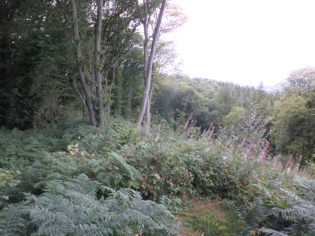
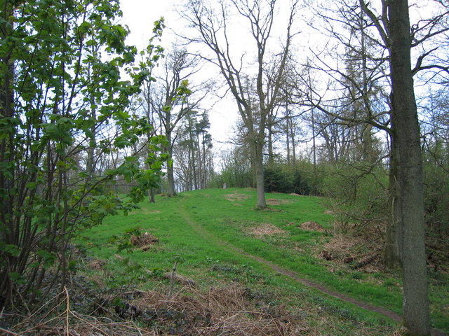
Pullastone Rough is a wood located in the county of Herefordshire, England. It is situated in the heart of the Forest of Dean, a large and historically significant ancient woodland. Pullastone Rough covers an area of approximately 200 acres and is characterized by its diverse ecosystem and natural beauty.
The wood is predominantly composed of broadleaf trees, including oak, beech, and ash, which create a dense canopy that provides shade and shelter for a variety of wildlife. The forest floor is covered in a rich carpet of ferns, mosses, and wildflowers, adding to its enchanting atmosphere.
Pullastone Rough is known for its extensive network of walking trails, making it a popular destination for nature enthusiasts and hikers. These trails wind through the wood, allowing visitors to explore its hidden corners and discover its hidden gems.
The wood is also home to a wide range of wildlife species. Birdwatchers can spot various species of birds, including woodpeckers, owls, and thrushes, while mammal enthusiasts may encounter deer, foxes, and badgers. Additionally, Pullastone Rough is known for its diverse insect population, including butterflies, beetles, and dragonflies.
The wood has a long history, dating back centuries. It has been used for timber production, charcoal making, and even as a source of inspiration for local artists and writers. Today, Pullastone Rough continues to be a cherished natural resource, offering a tranquil and picturesque setting for visitors to immerse themselves in the beauty of nature.
If you have any feedback on the listing, please let us know in the comments section below.
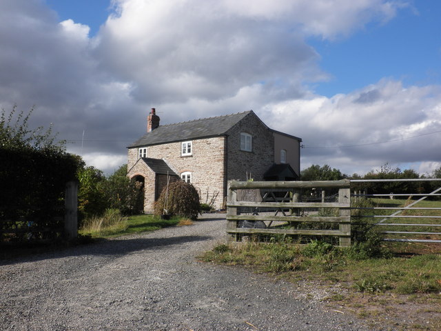
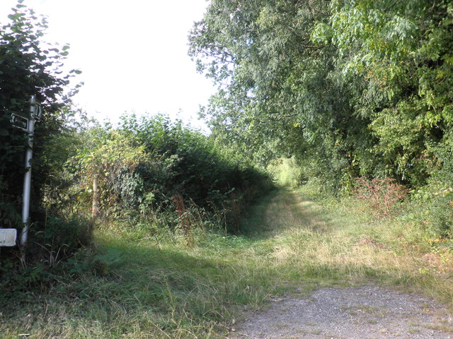
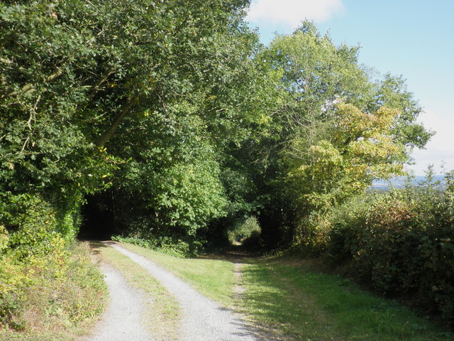
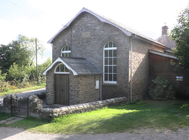
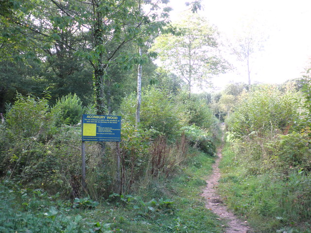
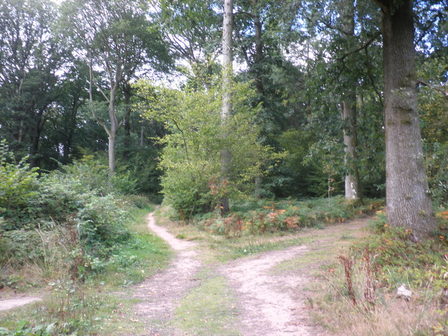
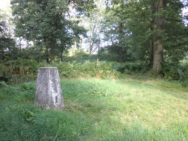
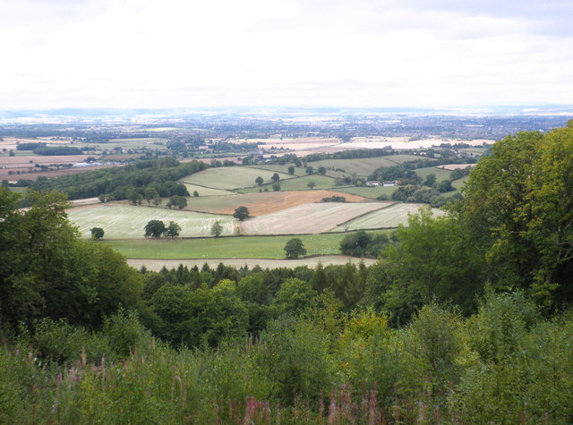
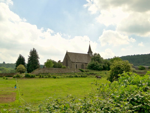
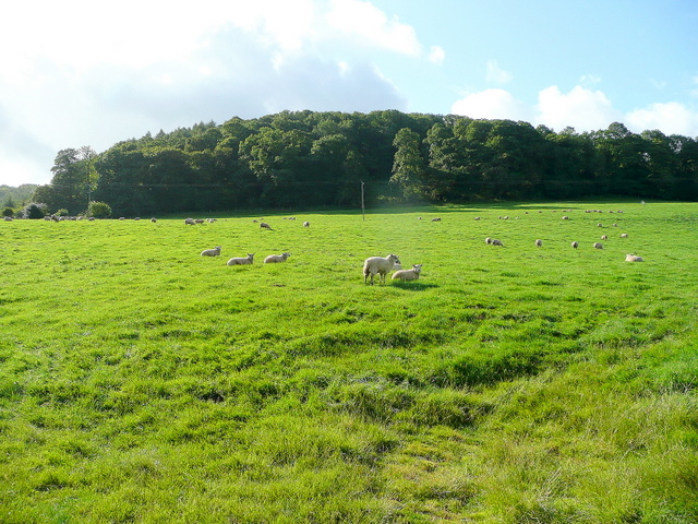
Pullastone Rough Images
Images are sourced within 2km of 51.999812/-2.729586 or Grid Reference SO5033. Thanks to Geograph Open Source API. All images are credited.

Pullastone Rough is located at Grid Ref: SO5033 (Lat: 51.999812, Lng: -2.729586)
Unitary Authority: County of Herefordshire
Police Authority: West Mercia
What 3 Words
///piled.ridiculed.slid. Near Callow, Herefordshire
Nearby Locations
Related Wikis
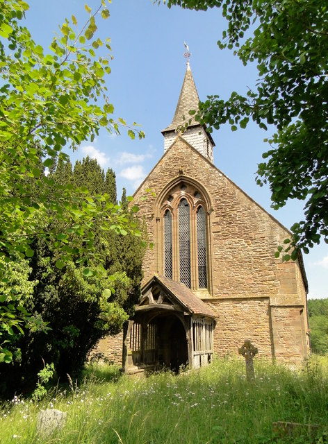
Aconbury Camp
Aconbury Camp is an Iron Age hillfort on Aconbury Hill in Herefordshire, England, about 4 miles (6 km) south of Hereford, and near the village of Aconbury...

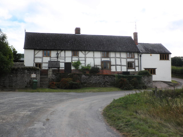
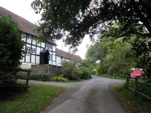
Callow, Herefordshire
Callow is a village and civil parish in Herefordshire, England, about 4 miles (6.4 km) south of Hereford. The church is dedicated to St Mary. == External... ==

Dewsall
Dewsall is a civil parish in south Herefordshire, England, approximately 4 miles (6 km) south from the city and county town of Hereford. The nearest market...

Aconbury
Aconbury (Welsh: Caer Rhain) is a village in the English county of Herefordshire, situated on a road between Hereford and Ross-on-Wye. St John the Baptist...
Nearby Amenities
Located within 500m of 51.999812,-2.729586Have you been to Pullastone Rough?
Leave your review of Pullastone Rough below (or comments, questions and feedback).