Pedsmoor Plantation
Wood, Forest in Shropshire
England
Pedsmoor Plantation
Pedsmoor Plantation is a picturesque woodland area located in Shropshire, England. Covering a vast expanse of land, the plantation is a haven for nature enthusiasts and offers a tranquil retreat for visitors seeking solace in the midst of a lush forest.
The plantation boasts a diverse range of tree species, including oak, beech, and birch, which contribute to the area's rich biodiversity. The dense canopy formed by these trees creates a shaded environment, perfect for leisurely walks and exploring the natural wonders of the region. The forest floor is adorned with a carpet of wildflowers, adding a burst of color to the landscape during the spring and summer months.
Pedsmoor Plantation is home to a variety of wildlife, with numerous bird species, such as woodpeckers and owls, making their nests within the trees. Squirrels can be observed darting between branches, while rabbits and deer occasionally graze on the outskirts of the woodland.
The plantation is well-maintained by local authorities, with designated paths and trails allowing visitors to navigate through the forest easily. Along these paths, informative signage provides interesting facts about the flora and fauna, enhancing the educational aspect of the plantation.
Whether it be for a peaceful stroll, birdwatching, or simply immersing oneself in the beauty of nature, Pedsmoor Plantation offers a rejuvenating experience for all who visit. Its serene setting and natural splendor make it a popular destination for both locals and tourists alike, leaving visitors with a lasting appreciation for the wonders of Shropshire's woodlands.
If you have any feedback on the listing, please let us know in the comments section below.
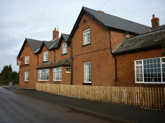
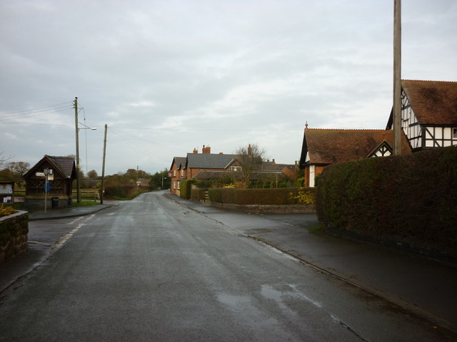
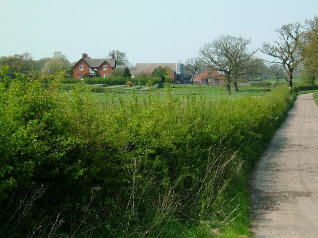
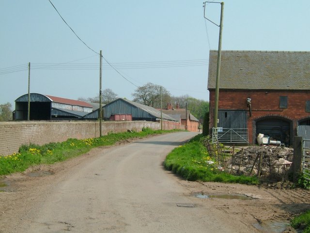
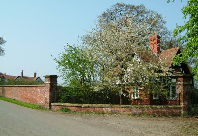
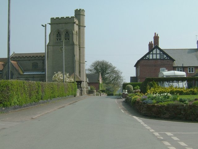
Pedsmoor Plantation Images
Images are sourced within 2km of 52.925359/-2.5683548 or Grid Reference SJ6136. Thanks to Geograph Open Source API. All images are credited.


Pedsmoor Plantation is located at Grid Ref: SJ6136 (Lat: 52.925359, Lng: -2.5683548)
Unitary Authority: Shropshire
Police Authority: West Mercia
What 3 Words
///scarecrow.depths.soups. Near Market Drayton, Shropshire
Related Wikis
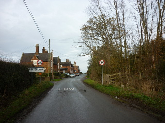
Calverhall
Calverhall is a small village in Shropshire, approximately 5 miles away from the town of Whitchurch. It lies within the civil parish of its neighbouring...

Moreton Say
Moreton Say is a small village and sparsely populated civil parish in Shropshire, England, near the borders with Cheshire and Staffordshire, just northwest...

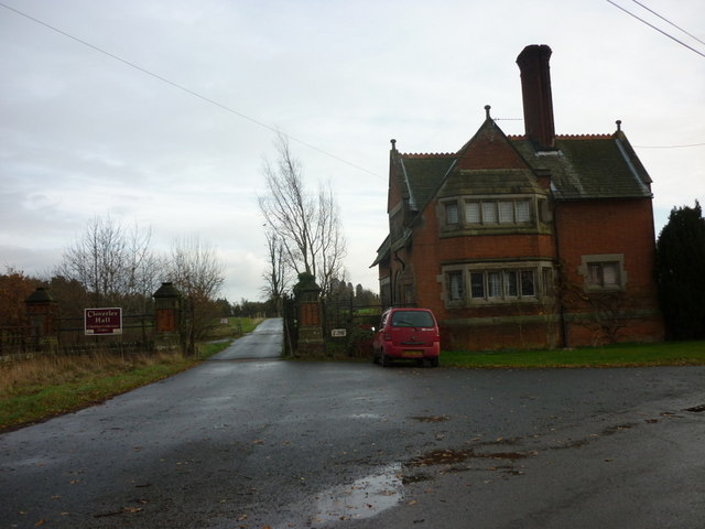
Styche Hall
Styche Hall is a country house near Market Drayton, Shropshire. It was home to the Clive family and is a Grade II listed building. Styche belonged to the...

Ightfield
Ightfield is a small village and civil parish in Shropshire, England. The population of the parish at the 2011 census was 529. Within the civil parish...
Nearby Amenities
Located within 500m of 52.925359,-2.5683548Have you been to Pedsmoor Plantation?
Leave your review of Pedsmoor Plantation below (or comments, questions and feedback).