Astonbridgehill Inclosure
Wood, Forest in Gloucestershire Forest of Dean
England
Astonbridgehill Inclosure
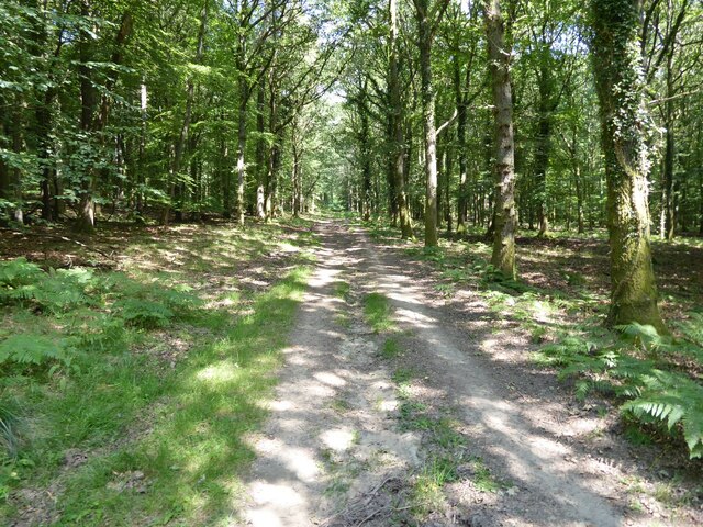
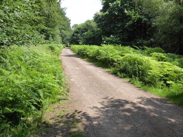
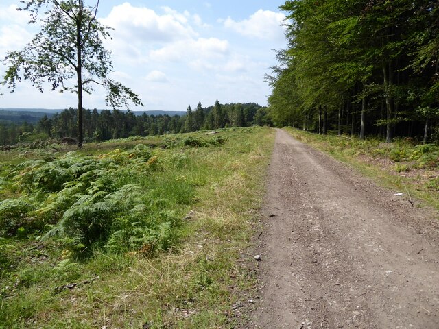
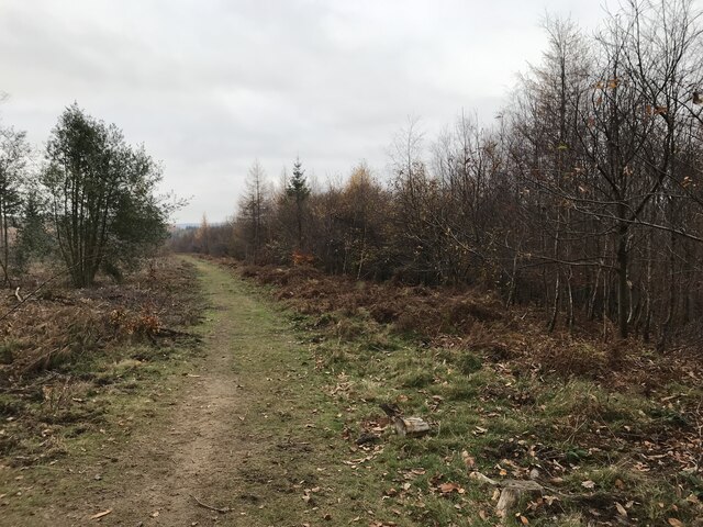
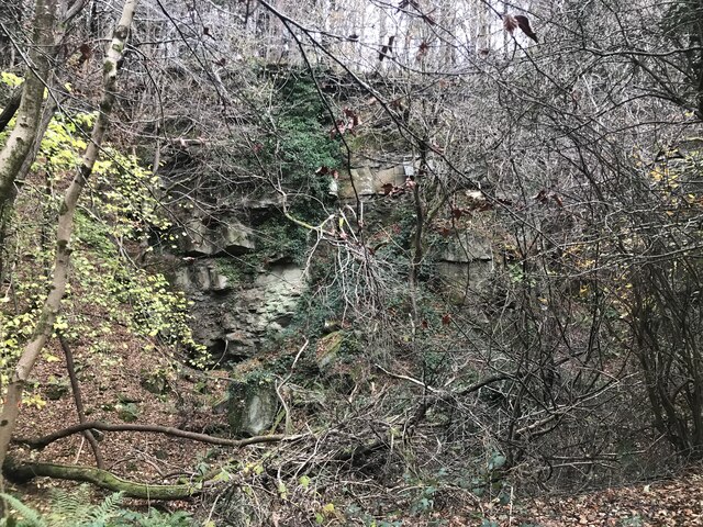
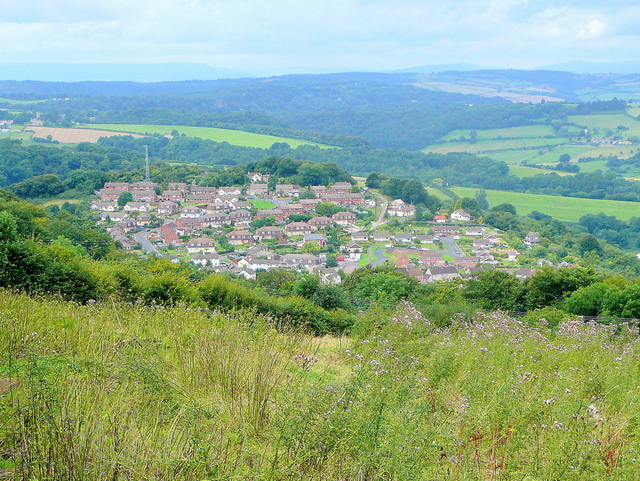
Astonbridgehill Inclosure is a woodland area located in Gloucestershire, England. Spanning over a vast expanse of land, it forms part of the larger Forest of Dean. The inclosure is known for its rich biodiversity and is home to a diverse range of plant and animal species.
The woodland is predominantly composed of native deciduous trees such as oak, beech, and ash, creating a lush and verdant environment. These trees provide a habitat for various wildlife including deer, foxes, badgers, and a multitude of bird species. Astonbridgehill Inclosure is particularly renowned for its population of rare and endangered species such as the lesser horseshoe bat and the pearl-bordered fritillary butterfly.
The inclosure is popular among nature enthusiasts, hikers, and birdwatchers due to its scenic beauty and tranquil atmosphere. It offers a network of well-maintained walking trails that wind through the woodland, providing visitors with the opportunity to explore its natural wonders. These trails also offer stunning views of the surrounding countryside.
Astonbridgehill Inclosure is managed by the Forestry Commission, which ensures the preservation and sustainable management of the woodland. The commission conducts regular maintenance work such as tree thinning and controlled burning to enhance the ecological health of the area.
Overall, Astonbridgehill Inclosure is a captivating woodland retreat that offers a sanctuary for both wildlife and humans alike. Its picturesque landscape, diverse wildlife, and well-preserved trails make it a must-visit destination for nature lovers seeking to immerse themselves in the beauty of Gloucestershire's woodlands.
If you have any feedback on the listing, please let us know in the comments section below.
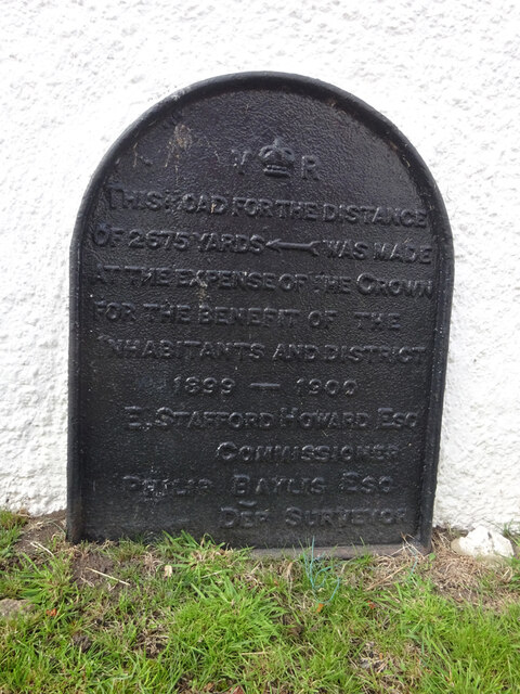
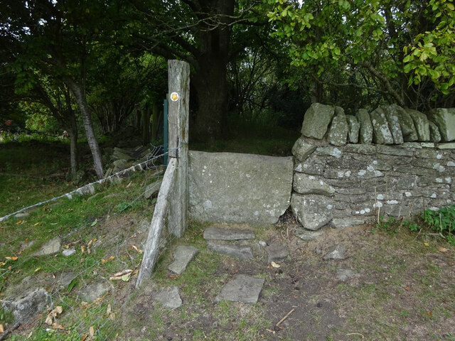
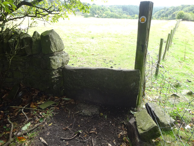
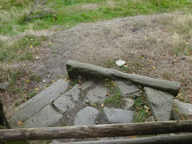
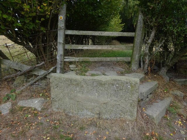
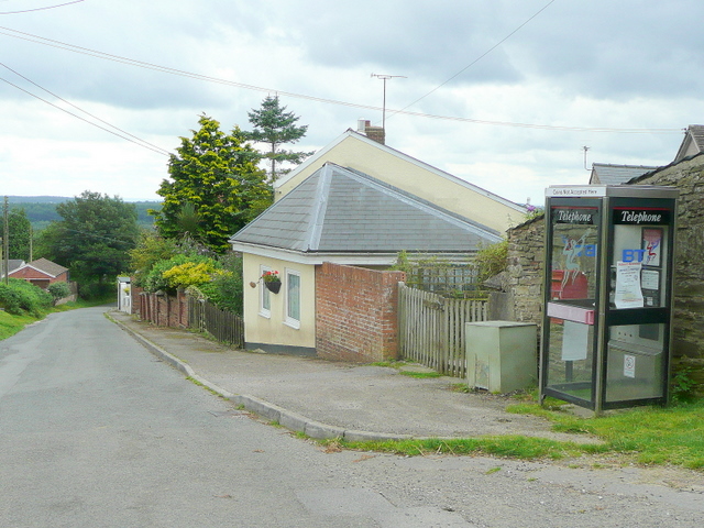
Astonbridgehill Inclosure Images
Images are sourced within 2km of 51.838227/-2.5566189 or Grid Reference SO6115. Thanks to Geograph Open Source API. All images are credited.


Astonbridgehill Inclosure is located at Grid Ref: SO6115 (Lat: 51.838227, Lng: -2.5566189)
Administrative County: Gloucestershire
District: Forest of Dean
Police Authority: Gloucestershire
What 3 Words
///bundles.eternity.charts. Near Lydbrook, Gloucestershire
Nearby Locations
Related Wikis
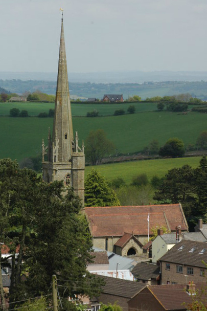
The Pludds
The Pludds is a hamlet in the Forest of Dean, Gloucestershire, England (grid reference SO617161). Lydbrook and Joys Green are to the west, Ruardean is...
Brierley, Gloucestershire
Brierley is a village in the Forest of Dean, Gloucestershire, United Kingdom. It has one petrol station and a shop, both of which are both operated by...

Upper Lydbrook railway station
Upper Lydbrook railway station served the civil parish of Lydbrook, Gloucestershire, England, from 1875 to 1929 on the Severn and Wye Railway. == History... ==
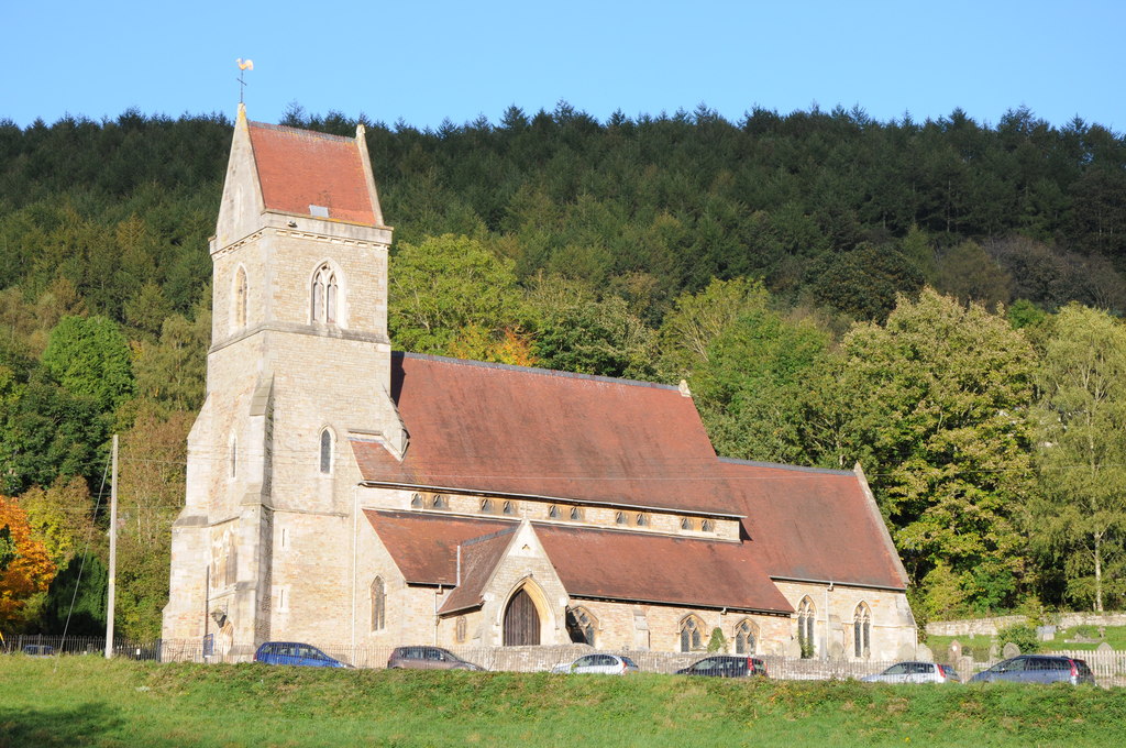
Holy Jesus Church, Lydbrook
Holy Jesus Church at Lydbrook is a Church of England parish church in the English county of Gloucestershire. == Structure == The greater part of the church...
Ruardean Woodside
Ruardean Woodside is a village in Gloucestershire, England, located in the Forest of Dean and tucked away behind Ruardean Hill and Brierley. There is...
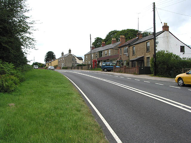
Lydbrook
Lydbrook is a civil parish in the Forest of Dean, a local government district in the English county of Gloucestershire and is located in the Wye Valley...
Joys Green, Gloucestershire
Joy's Green is a village in the Forest of Dean in West Gloucestershire, England. The village is in the civil parish of the neighbouring village of Lydbrook...
Ruardean
Ruardean is a village in the Forest of Dean, Gloucestershire, England, to the North West of Cinderford. It is situated on a hillside with views west towards...
Related Videos

Overbiked Vs Underbiked | Which Is More Fun For Mountain Biking?
Unfortunately, you can't have the right MTB for the terrain and trails that you are riding all of the time. But is it more fun to have a ...

Are Trail Bikes Better Than Enduro Bikes?
Mountain Bikes these days are incredibly versatile tools, but are different bikes better than others? Neil & Blake are out in the ...

Forest of Dean Sculpture Trail - Peaceful Walking in Nature ASMR
A peaceful walk on the Forest of Dean Sculpture Trail, listening to the sounds of the forest.
Wild Boar and Pine Martens in the Forest of Dean - Nature Diaries
Hi Conservation Crew! Last week we enjoyed four days in the amazing Forest of Dean. We went for a jolly but the reason we ...
Nearby Amenities
Located within 500m of 51.838227,-2.5566189Have you been to Astonbridgehill Inclosure?
Leave your review of Astonbridgehill Inclosure below (or comments, questions and feedback).