Hem Slade

Wood, Forest in Gloucestershire Forest of Dean

England

Hem Slade

Mirystock Bridge
Mirystock Bridge Credit: don cload

Hem Slade, located in the county of Gloucestershire in England, is a small village nestled in the heart of the enchanting Forest of Dean. The village is surrounded by lush greenery, dense woodlands, and rolling hills, creating a picturesque and tranquil setting for residents and visitors alike.

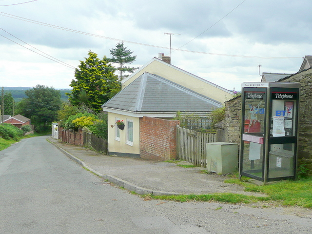
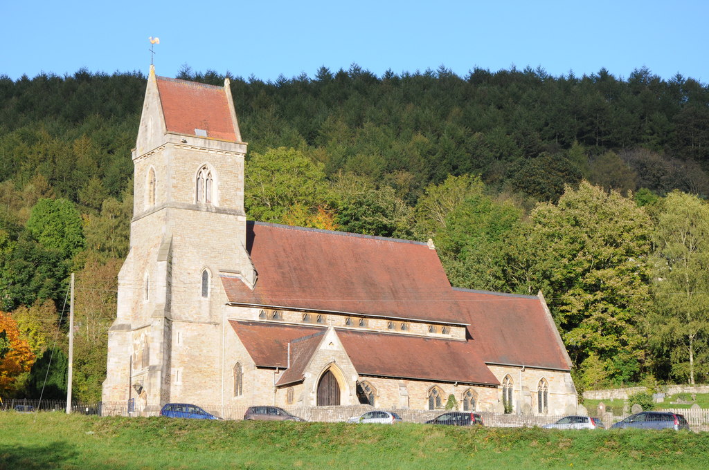
Known for its rich history, Hem Slade has roots dating back to medieval times. The village is home to a number of historic buildings, including a 12th-century church that stands as a testament to its past. The village's architecture reflects the traditional charm of the region, with quaint cottages and stone houses lining its narrow streets.

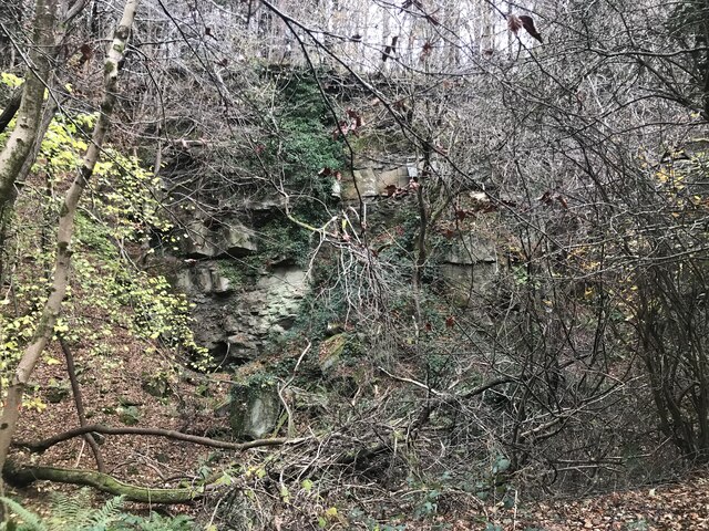
Nature lovers are drawn to Hem Slade due to its proximity to the Forest of Dean, one of the largest ancient woodlands in England. The forest offers a diverse range of flora and fauna, making it a haven for wildlife enthusiasts and hikers. Visitors can explore the numerous walking trails that wind through the forest, immersing themselves in the natural beauty that surrounds the village.

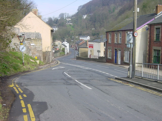
Despite its idyllic rural setting, Hem Slade is well-connected to nearby towns and cities. The village has convenient access to major road networks, allowing residents to easily commute to Gloucester, Bristol, or Cardiff. Additionally, the village boasts a strong sense of community, with local events and festivals held throughout the year, providing opportunities for residents to come together and celebrate.

In summary, Hem Slade is a charming village situated in the stunning Wood, Forest of Gloucestershire. With its rich history, natural beauty, and strong community spirit, it offers a peaceful and picturesque retreat for those seeking a rural lifestyle.

If you have any feedback on the listing, please let us know in the comments section below.
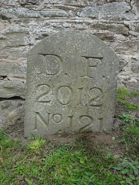
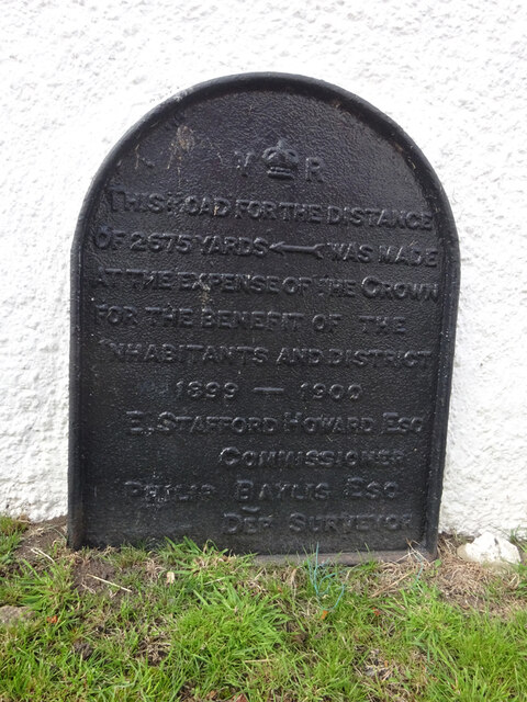
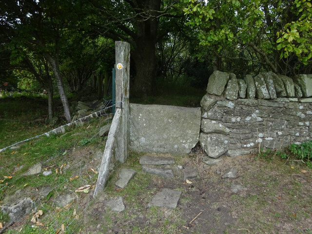
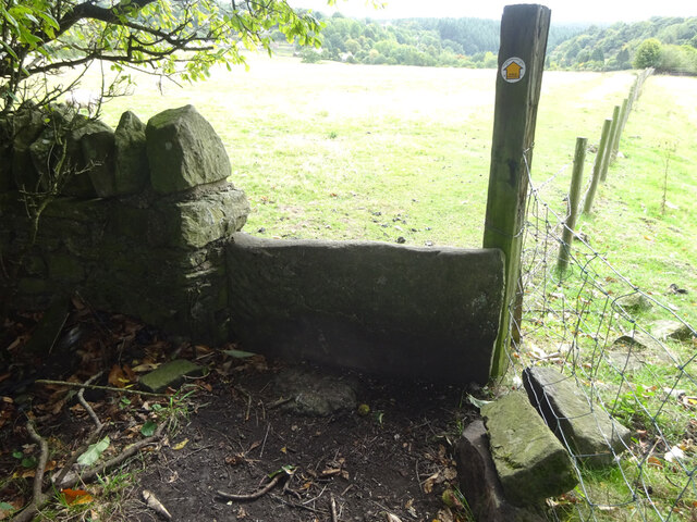
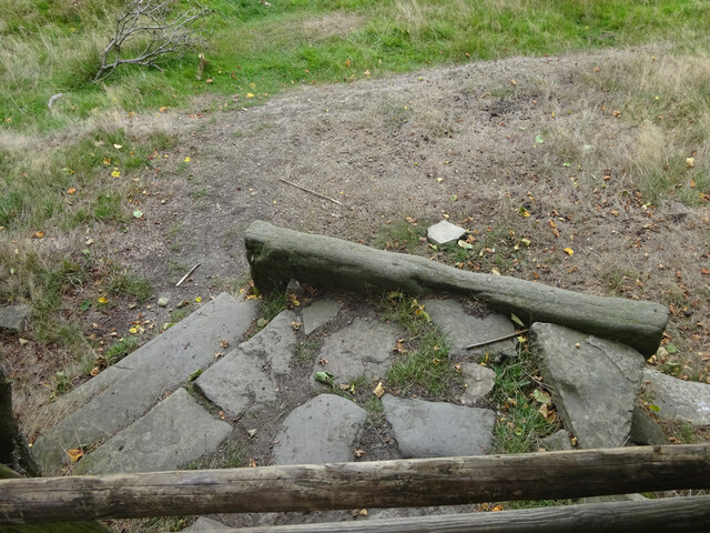
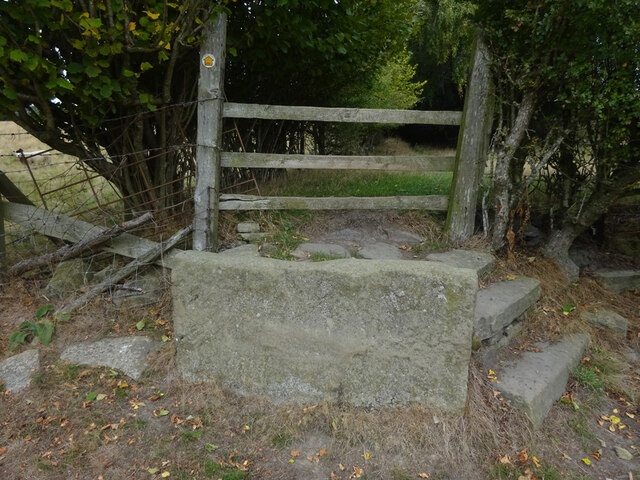
Hem Slade Images

Images are sourced within 2km of 51.839525/-2.5616714 or Grid Reference SO6115. Thanks to Geograph Open Source API. All images are credited.

Mirystock Bridge
Mirystock Bridge
Old chapel and recreation ground
Old railway
Old railway
Old quarry
Old quarry
Old Boundary Marker Estate Boundary Marker east of a forest track and just north of the A4136 near Mirystock House. Lydbrook parish. inscribed Bourts Inclosure and 1842 this perhaps records the enclosure of part of the Forest of Dean.

Milestone Society National ID: GL_LYDBR01em
Old Boundary Marker
Estate Boundary Marker east of a forest track and just north of the A4136 near Mirystock House. Lydbrook parish. inscribed Bourts Inclosure and 1842 this perhaps records the enclosure of part of the Forest of Dean. Milestone Society National ID: GL_LYDBR01em
Boundary Stone, Ruardean One of the many replacement boundary stone delineating the periphery of the "Forest of Dean". The "Forest" is very specific because resident have "rights in common" like grazing sheep and coal mining, though you may have to be born there to classify as a "free miner". This is on the Northern verge in Barn Lane.

Inscription: D. F. / 2012 / Nᴼ. 121

Milestone Society National ID: GL_DFDRYB121em
Boundary Stone, Ruardean
One of the many replacement boundary stone delineating the periphery of the "Forest of Dean". The "Forest" is very specific because resident have "rights in common" like grazing sheep and coal mining, though you may have to be born there to classify as a "free miner". This is on the Northern verge in Barn Lane. Inscription: D. F. / 2012 / Nᴼ. 121 Milestone Society National ID: GL_DFDRYB121em
Modern Boundary Stone, Ruardean High on the Northern embankment of "Townsend". One of the many replacement boundary stone delineating the periphery of the "Forest of Dean". The "Forest" is very specific because resident have "rights in common" like grazing sheep and coal mining, though you may have to be born there to classify as a "free miner". 

Inscription: D. F. / No 116 / 2010 

Milestone Society National ID: GL_DFRUAR116em
Modern Boundary Stone, Ruardean
High on the Northern embankment of "Townsend". One of the many replacement boundary stone delineating the periphery of the "Forest of Dean". The "Forest" is very specific because resident have "rights in common" like grazing sheep and coal mining, though you may have to be born there to classify as a "free miner". Inscription: D. F. / No 116 / 2010 Milestone Society National ID: GL_DFRUAR116em
Modern Boundary Stone, The Pludds On the North verge of Highbeech Road. One of the many replacement boundary stone delineating the periphery of the "Forest of Dean". The "Forest" is very specific because resident have "rights in common" like grazing sheep and coal mining, though you may have to be born there to classify as a "free miner".

Inscription: D. F. / 20005 / Nᴼ. 118

Milestone Society National ID: GL_DFRUAR118em
Modern Boundary Stone, The Pludds
On the North verge of Highbeech Road. One of the many replacement boundary stone delineating the periphery of the "Forest of Dean". The "Forest" is very specific because resident have "rights in common" like grazing sheep and coal mining, though you may have to be born there to classify as a "free miner". Inscription: D. F. / 20005 / Nᴼ. 118 Milestone Society National ID: GL_DFRUAR118em
Commemorative Plate, Ruardean On the wall of a corner house in Meend Lane (with Barn Lane).

Inscription:
V(crown)R
This road for the distance
of 2675 ↢ yards was made
at the expense of the crown
for the benefit of the
inhabitants and district
1899 - 1900
E.Stafford Howard Esq
Commissioner
Philip Baylis Esq
Dep Surveyor

Milestone Society National ID: GL_DRYBR01cm
Commemorative Plate, Ruardean
On the wall of a corner house in Meend Lane (with Barn Lane). Inscription: V(crown)R This road for the distance of 2675 ↢ yards was made at the expense of the crown for the benefit of the inhabitants and district 1899 - 1900 E.Stafford Howard Esq Commissioner Philip Baylis Esq Dep Surveyor Milestone Society National ID: GL_DRYBR01cm
Stone Stile, Ruardean On Gloucestershire footpath DRD34 entering a closed path that leads to Pettycroft, looking North . The view back towards Ruardean Woodside is <a href="https://www.geograph.org.uk/photo/7297883">SO6217 : Stone Stile, Ruardean</a>.
Stone Stile, Ruardean
On Gloucestershire footpath DRD34 entering a closed path that leads to Pettycroft, looking North . The view back towards Ruardean Woodside is SO6217 : Stone Stile, Ruardean.
Stone Stile, Ruardean On Gloucestershire footpath DRD34 entering a closed path that leads to Pettycroft, looking back to Ruardean Woodside. The view North is <a href="https://www.geograph.org.uk/photo/7297881">SO6217 : Stone Stile, Ruardean</a>.
Stone Stile, Ruardean
On Gloucestershire footpath DRD34 entering a closed path that leads to Pettycroft, looking back to Ruardean Woodside. The view North is SO6217 : Stone Stile, Ruardean.
Stone Stile, Ruardean On Gloucestershire footpath DRD34, a route from Barn Lane to Perrycroft. This looks South. the view up the stile is <a href="https://www.geograph.org.uk/photo/7299548">SO6216 : Stone Stile, Ruardean</a>.
Stone Stile, Ruardean
On Gloucestershire footpath DRD34, a route from Barn Lane to Perrycroft. This looks South. the view up the stile is SO6216 : Stone Stile, Ruardean.
Stone Stile, Ruardean On Gloucestershire footpath DRD34, a route from Barn Lane to Perrycroft. This looks North. the view down the stile is <a href="https://www.geograph.org.uk/photo/7299546">SO6216 : Stone Stile, Ruardean</a>.
Stone Stile, Ruardean
On Gloucestershire footpath DRD34, a route from Barn Lane to Perrycroft. This looks North. the view down the stile is SO6216 : Stone Stile, Ruardean.
Stone Stile, Ruardean On Gloucestershire footpath DRD34, this "Fallen Idle" is of similar proportions to the two upright stiles to the North and lies about 2 ft from the current wooden stile.
Stone Stile, Ruardean
On Gloucestershire footpath DRD34, this "Fallen Idle" is of similar proportions to the two upright stiles to the North and lies about 2 ft from the current wooden stile.
Stone Stile, Ruardean Alongside Gloucestershire footpath DRD32, an obsolete stile to the adjacent field. Midway between Pettycroft and Eddys Lane.
Stone Stile, Ruardean
Alongside Gloucestershire footpath DRD32, an obsolete stile to the adjacent field. Midway between Pettycroft and Eddys Lane.
Stone Stile, Ruardean On Gloucestershire footpath DRD32 off Eddys Lane. The remnants of a "Fallen Idle".
Stone Stile, Ruardean
On Gloucestershire footpath DRD32 off Eddys Lane. The remnants of a "Fallen Idle".
Autumnal forest track Autumnal forest track in Serridge Enclosure.
Autumnal forest track
Autumnal forest track in Serridge Enclosure.
A BP garage A BP garage on the A4136 at Brierley in the Forest of Dean.
A BP garage
A BP garage on the A4136 at Brierley in the Forest of Dean.
Show me another place!

Hem Slade is located at Grid Ref: SO6115 (Lat: 51.839525, Lng: -2.5616714)

Administrative County: Gloucestershire

District: Forest of Dean

Police Authority: Gloucestershire

What 3 Words

///shoelaces.plotter.lordship. Near Lydbrook, Gloucestershire

Related Wikis

The Pludds

The Pludds is a hamlet in the Forest of Dean, Gloucestershire, England (grid reference SO617161). Lydbrook and Joys Green are to the west, Ruardean is...

Upper Lydbrook railway station

Upper Lydbrook railway station served the civil parish of Lydbrook, Gloucestershire, England, from 1875 to 1929 on the Severn and Wye Railway. == History... ==

Holy Jesus Church, Lydbrook

Holy Jesus Church at Lydbrook is a Church of England parish church in the English county of Gloucestershire. == Structure == The greater part of the church...

Lydbrook

Lydbrook is a civil parish in the Forest of Dean, a local government district in the English county of Gloucestershire and is located in the Wye Valley...

Nearby Amenities

Located within 500m of 51.839525,-2.5616714
Astonbridgehill Enclosure
Is In: Gloucestershire, England, UK
Place: locality
Source: NPE
Lat/Long: 51.8393077/-2.5587837
Bus Stop
High St
Naptan AtcoCode: 1600GL3828
Naptan Bearing: NE
Naptan CommonName: High St
Naptan NaptanCode: gloagmwg
Naptan Street: Pludds Court Rd
Naptan Verified: no
Source: naptan_import
Lat/Long: 51.8426732/-2.558246
Bus Stop
Village Hall School Service
Naptan AtcoCode: 1600GLA06140
Naptan Bearing: NW
Naptan BusStopType: CUS
Naptan CommonName: Village Hall School Service
Naptan NaptanCode: glogpgpt
Naptan Street: High Street
Naptan Verified: no
Source: naptan_import
Lat/Long: 51.8428548/-2.5578708
The Pludds
Place: hamlet
Wikidata: Q7757532
Wikipedia: en:The Pludds
Lat/Long: 51.8431279/-2.5614931
Power: pole
Lat/Long: 51.8397326/-2.5675297
Power: pole
Lat/Long: 51.8367181/-2.5641232
Power: pole
Lat/Long: 51.8382769/-2.5654488
Power: pole
Lat/Long: 51.8353319/-2.5630334
Generator Method: photovoltaic
Generator Output Electricity: yes
Generator Source: solar
Generator Type: solar_photovoltaic_panel
Location: roof
Power: generator
Lat/Long: 51.8434017/-2.5580053
Generator Method: photovoltaic
Generator Output Electricity: yes
Generator Source: solar
Generator Type: solar_photovoltaic_panel
Location: roof
Power: generator
Lat/Long: 51.8431009/-2.55835
Generator Method: photovoltaic
Generator Output Electricity: yes
Generator Source: solar
Generator Type: solar_photovoltaic_panel
Location: roof
Power: generator
Lat/Long: 51.8431042/-2.558578
Generator Method: photovoltaic
Generator Output Electricity: yes
Generator Source: solar
Generator Type: solar_photovoltaic_panel
Location: roof
Power: generator
Lat/Long: 51.8430272/-2.5588636
Generator Method: photovoltaic
Generator Output Electricity: yes
Generator Source: solar
Generator Type: solar_photovoltaic_panel
Location: roof
Power: generator
Lat/Long: 51.8427993/-2.5600988
Generator Method: photovoltaic
Generator Output Electricity: yes
Generator Source: solar
Generator Type: solar_photovoltaic_panel
Location: roof
Power: generator
Lat/Long: 51.8428789/-2.5599781
The data included in this document is from www.openstreetmap.org. The data is made available under ODbL.

Have you been to Hem Slade?

Leave your review of Hem Slade below (or comments, questions and feedback).