Horsley Flat

Wood, Forest in Gloucestershire Forest of Dean

England

Horsley Flat

The Wysis Way The Wysis Way following a track in Serridge Inclosure.  The Wysis Way is a long distance path connecting Offa's Dyke and the start of the Thames Path.
The Wysis Way Credit: Philip Halling

Horsley Flat is a small woodland area located in Gloucestershire, England. Situated within the larger Horsley Estate, this flat woodland boasts an array of natural features and offers a tranquil environment for visitors to enjoy.

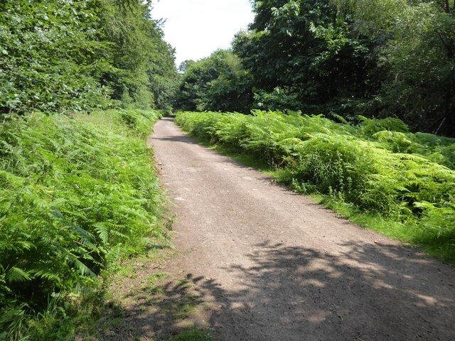
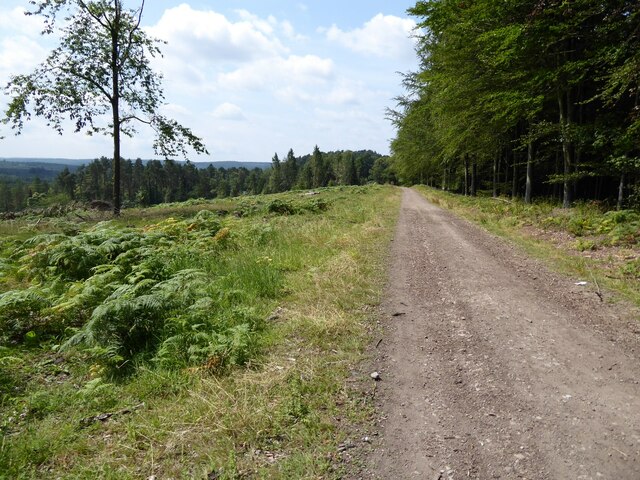
Covering an area of approximately 20 hectares, Horsley Flat is predominantly composed of mixed deciduous woodland. The forest is home to a variety of tree species, including oak, beech, ash, and birch, which create a diverse and vibrant canopy overhead. The forest floor is adorned with a rich carpet of ferns, bluebells, and other wildflowers, adding to the enchanting ambiance of the woodland.

The flat terrain makes Horsley Flat accessible and easy to explore, with well-maintained footpaths winding through the trees. These paths provide visitors with the opportunity to take leisurely strolls, observe the local wildlife, and immerse themselves in the natural beauty of the forest. The tranquil atmosphere and picturesque surroundings make Horsley Flat a popular destination for nature enthusiasts, walkers, and photographers alike.

In addition to its natural charm, the woodland is also home to a variety of wildlife. Visitors may spot deer, foxes, badgers, and a plethora of bird species, including woodpeckers and owls. The forest offers a rich habitat for these creatures, providing ample food sources and shelter.

Overall, Horsley Flat in Gloucestershire is a small yet captivating woodland area, offering a peaceful retreat for those seeking solace in the beauty of nature.

If you have any feedback on the listing, please let us know in the comments section below.
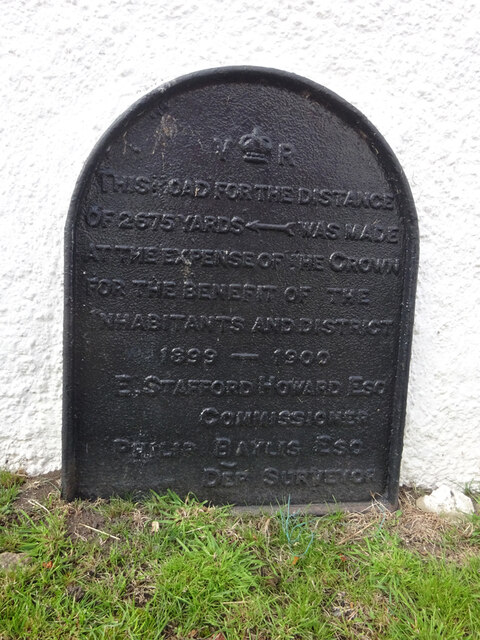
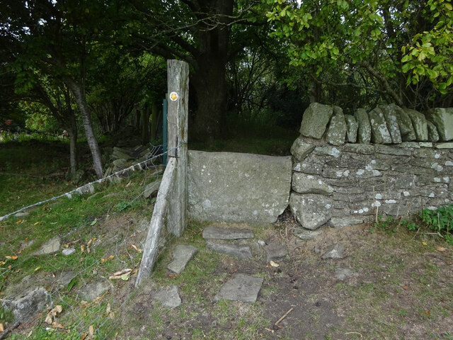
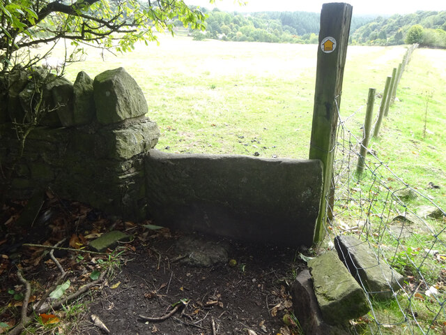
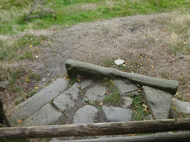
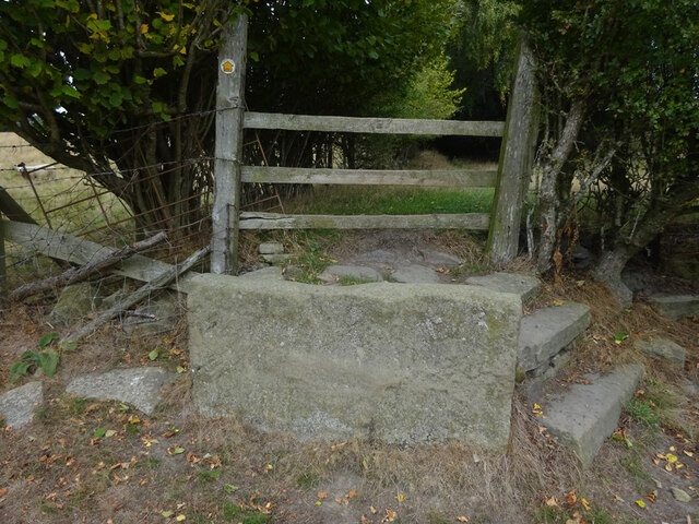
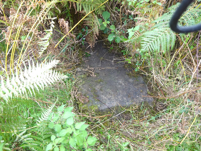
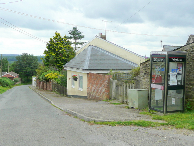
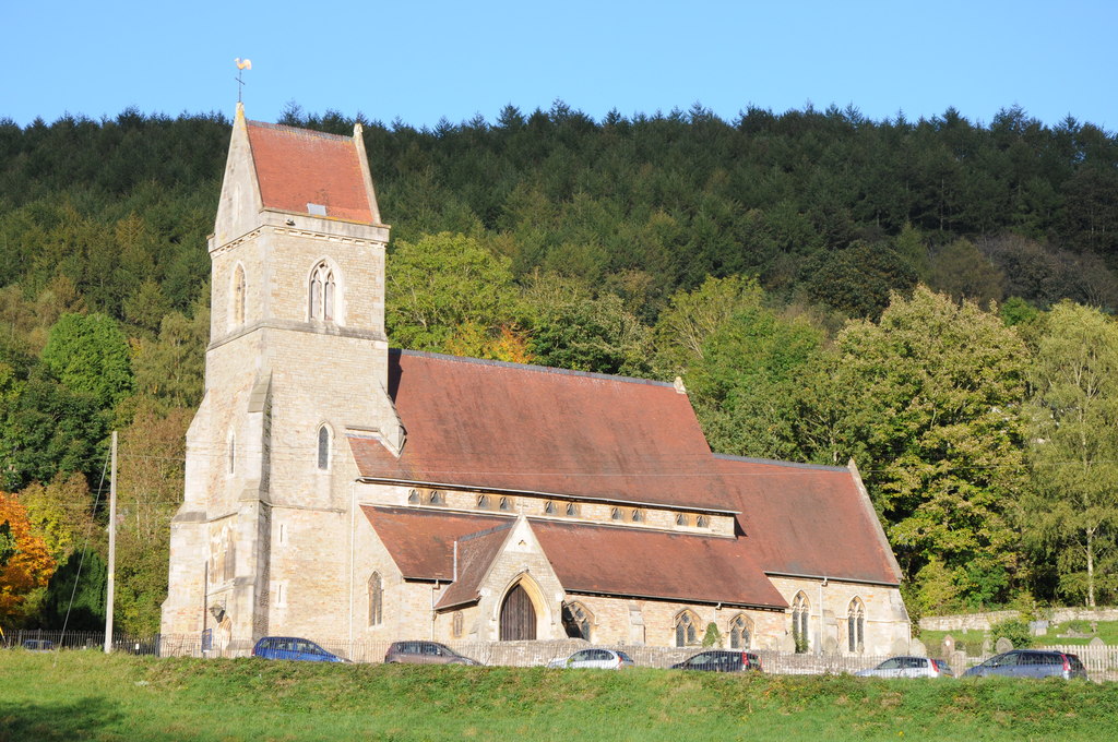
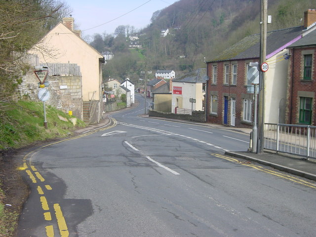
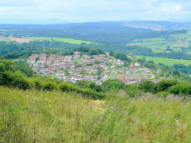
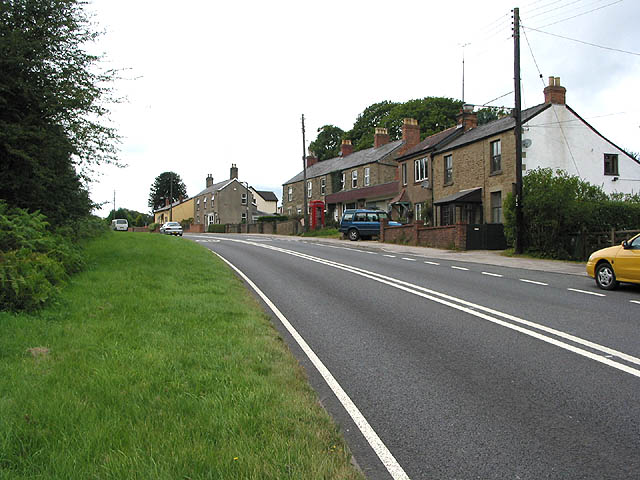
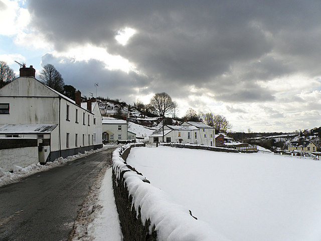
Horsley Flat Images

Images are sourced within 2km of 51.839017/-2.564568 or Grid Reference SO6115. Thanks to Geograph Open Source API. All images are credited.

The Wysis Way The Wysis Way following a track in Serridge Inclosure.  The Wysis Way is a long distance path connecting Offa's Dyke and the start of the Thames Path.
The Wysis Way
The Wysis Way following a track in Serridge Inclosure. The Wysis Way is a long distance path connecting Offa's Dyke and the start of the Thames Path.
Forest track Forest track near Serridge Green in the Forest of Dean.
Forest track
Forest track near Serridge Green in the Forest of Dean.
Area of clearfell Area of clearfell at Serridge Green.  With the trees felled there are extensive views over the forest.
Area of clearfell
Area of clearfell at Serridge Green. With the trees felled there are extensive views over the forest.
Mirystock Bridge
Mirystock Bridge
Old chapel and recreation ground
Old railway
Old railway
Old quarry
Old quarry
Sharp turn in the forest track
Old Boundary Marker Estate Boundary Marker east of a forest track and just north of the A4136 near Mirystock House. Lydbrook parish. inscribed Bourts Inclosure and 1842 this perhaps records the enclosure of part of the Forest of Dean.

Milestone Society National ID: GL_LYDBR01em
Old Boundary Marker
Estate Boundary Marker east of a forest track and just north of the A4136 near Mirystock House. Lydbrook parish. inscribed Bourts Inclosure and 1842 this perhaps records the enclosure of part of the Forest of Dean. Milestone Society National ID: GL_LYDBR01em
Boundary Stone, Ruardean One of the many replacement boundary stone delineating the periphery of the "Forest of Dean". The "Forest" is very specific because resident have "rights in common" like grazing sheep and coal mining, though you may have to be born there to classify as a "free miner". This is on the Northern verge in Barn Lane.

Inscription: D. F. / 2012 / Nᴼ. 121

Milestone Society National ID: GL_DFDRYB121em
Boundary Stone, Ruardean
One of the many replacement boundary stone delineating the periphery of the "Forest of Dean". The "Forest" is very specific because resident have "rights in common" like grazing sheep and coal mining, though you may have to be born there to classify as a "free miner". This is on the Northern verge in Barn Lane. Inscription: D. F. / 2012 / Nᴼ. 121 Milestone Society National ID: GL_DFDRYB121em
Modern Boundary Stone, Ruardean High on the Northern embankment of "Townsend". One of the many replacement boundary stone delineating the periphery of the "Forest of Dean". The "Forest" is very specific because resident have "rights in common" like grazing sheep and coal mining, though you may have to be born there to classify as a "free miner". 

Inscription: D. F. / No 116 / 2010 

Milestone Society National ID: GL_DFRUAR116em
Modern Boundary Stone, Ruardean
High on the Northern embankment of "Townsend". One of the many replacement boundary stone delineating the periphery of the "Forest of Dean". The "Forest" is very specific because resident have "rights in common" like grazing sheep and coal mining, though you may have to be born there to classify as a "free miner". Inscription: D. F. / No 116 / 2010 Milestone Society National ID: GL_DFRUAR116em
Modern Boundary Stone, The Pludds On the North verge of Highbeech Road. One of the many replacement boundary stone delineating the periphery of the "Forest of Dean". The "Forest" is very specific because resident have "rights in common" like grazing sheep and coal mining, though you may have to be born there to classify as a "free miner".

Inscription: D. F. / 20005 / Nᴼ. 118

Milestone Society National ID: GL_DFRUAR118em
Modern Boundary Stone, The Pludds
On the North verge of Highbeech Road. One of the many replacement boundary stone delineating the periphery of the "Forest of Dean". The "Forest" is very specific because resident have "rights in common" like grazing sheep and coal mining, though you may have to be born there to classify as a "free miner". Inscription: D. F. / 20005 / Nᴼ. 118 Milestone Society National ID: GL_DFRUAR118em
Commemorative Plate, Ruardean On the wall of a corner house in Meend Lane (with Barn Lane).

Inscription:
V(crown)R
This road for the distance
of 2675 ↢ yards was made
at the expense of the crown
for the benefit of the
inhabitants and district
1899 - 1900
E.Stafford Howard Esq
Commissioner
Philip Baylis Esq
Dep Surveyor

Milestone Society National ID: GL_DRYBR01cm
Commemorative Plate, Ruardean
On the wall of a corner house in Meend Lane (with Barn Lane). Inscription: V(crown)R This road for the distance of 2675 ↢ yards was made at the expense of the crown for the benefit of the inhabitants and district 1899 - 1900 E.Stafford Howard Esq Commissioner Philip Baylis Esq Dep Surveyor Milestone Society National ID: GL_DRYBR01cm
Stone Stile, Ruardean On Gloucestershire footpath DRD34 entering a closed path that leads to Pettycroft, looking North . The view back towards Ruardean Woodside is <a href="https://www.geograph.org.uk/photo/7297883">SO6217 : Stone Stile, Ruardean</a>.
Stone Stile, Ruardean
On Gloucestershire footpath DRD34 entering a closed path that leads to Pettycroft, looking North . The view back towards Ruardean Woodside is SO6217 : Stone Stile, Ruardean.
Stone Stile, Ruardean On Gloucestershire footpath DRD34 entering a closed path that leads to Pettycroft, looking back to Ruardean Woodside. The view North is <a href="https://www.geograph.org.uk/photo/7297881">SO6217 : Stone Stile, Ruardean</a>.
Stone Stile, Ruardean
On Gloucestershire footpath DRD34 entering a closed path that leads to Pettycroft, looking back to Ruardean Woodside. The view North is SO6217 : Stone Stile, Ruardean.
Stone Stile, Ruardean On Gloucestershire footpath DRD34, a route from Barn Lane to Perrycroft. This looks South. the view up the stile is <a href="https://www.geograph.org.uk/photo/7299548">SO6216 : Stone Stile, Ruardean</a>.
Stone Stile, Ruardean
On Gloucestershire footpath DRD34, a route from Barn Lane to Perrycroft. This looks South. the view up the stile is SO6216 : Stone Stile, Ruardean.
Stone Stile, Ruardean On Gloucestershire footpath DRD34, a route from Barn Lane to Perrycroft. This looks North. the view down the stile is <a href="https://www.geograph.org.uk/photo/7299546">SO6216 : Stone Stile, Ruardean</a>.
Stone Stile, Ruardean
On Gloucestershire footpath DRD34, a route from Barn Lane to Perrycroft. This looks North. the view down the stile is SO6216 : Stone Stile, Ruardean.
Stone Stile, Ruardean On Gloucestershire footpath DRD34, this "Fallen Idle" is of similar proportions to the two upright stiles to the North and lies about 2 ft from the current wooden stile.
Stone Stile, Ruardean
On Gloucestershire footpath DRD34, this "Fallen Idle" is of similar proportions to the two upright stiles to the North and lies about 2 ft from the current wooden stile.
Show me another place!

Horsley Flat is located at Grid Ref: SO6115 (Lat: 51.839017, Lng: -2.564568)

Administrative County: Gloucestershire

District: Forest of Dean

Police Authority: Gloucestershire

What 3 Words

///touchy.marker.aboard. Near Lydbrook, Gloucestershire

Related Wikis

The Pludds

The Pludds is a hamlet in the Forest of Dean, Gloucestershire, England (grid reference SO617161). Lydbrook and Joys Green are to the west, Ruardean is...

Upper Lydbrook railway station

Upper Lydbrook railway station served the civil parish of Lydbrook, Gloucestershire, England, from 1875 to 1929 on the Severn and Wye Railway. == History... ==

Holy Jesus Church, Lydbrook

Holy Jesus Church at Lydbrook is a Church of England parish church in the English county of Gloucestershire. == Structure == The greater part of the church...

Lydbrook

Lydbrook is a civil parish in the Forest of Dean, a local government district in the English county of Gloucestershire and is located in the Wye Valley...

Joys Green, Gloucestershire

Joy's Green is a village in the Forest of Dean in West Gloucestershire, England. The village is in the civil parish of the neighbouring village of Lydbrook...

Sarah Siddons' House

Sarah Siddons' House, also called the Old House, is a cottage in the village of Lydbrook, Gloucestershire, England. A Grade II* listed building, the cottage...

Brierley, Gloucestershire

Brierley is a village in the Forest of Dean, Gloucestershire, United Kingdom. It has one petrol station and a shop, both of which are both operated by...

Ruardean Woodside

Ruardean Woodside is a village in Gloucestershire, England, located in the Forest of Dean and tucked away behind Ruardean Hill and Brierley. There is...

Nearby Amenities

Located within 500m of 51.839017,-2.564568
Astonbridgehill Enclosure
Is In: Gloucestershire, England, UK
Place: locality
Source: NPE
Lat/Long: 51.8393077/-2.5587837
Power: pole
Lat/Long: 51.8397326/-2.5675297
Power: pole
Lat/Long: 51.8411596/-2.569477
Power: pole
Lat/Long: 51.8367181/-2.5641232
Power: pole
Lat/Long: 51.8382769/-2.5654488
Power: pole
Lat/Long: 51.8353319/-2.5630334
The data included in this document is from www.openstreetmap.org. The data is made available under ODbL.

Have you been to Horsley Flat?

Leave your review of Horsley Flat below (or comments, questions and feedback).