Spen Wood
Wood, Forest in Lancashire Chorley
England
Spen Wood

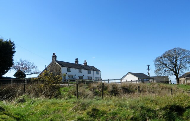
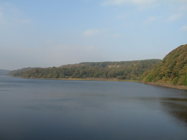
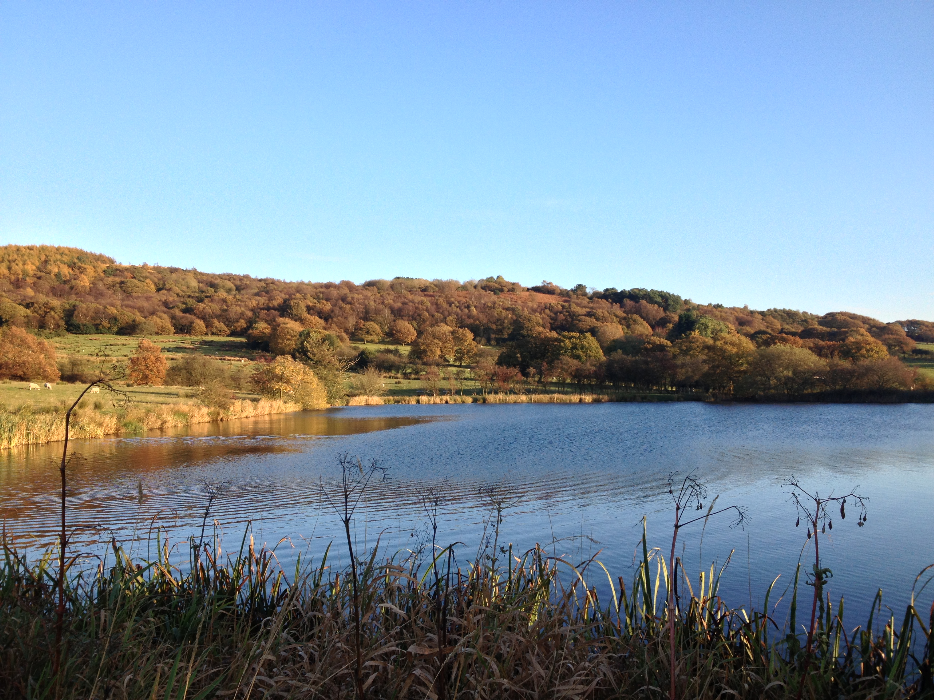
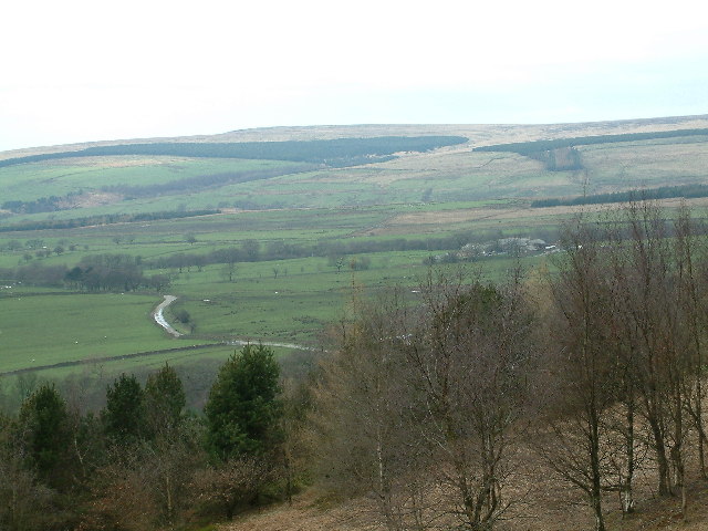
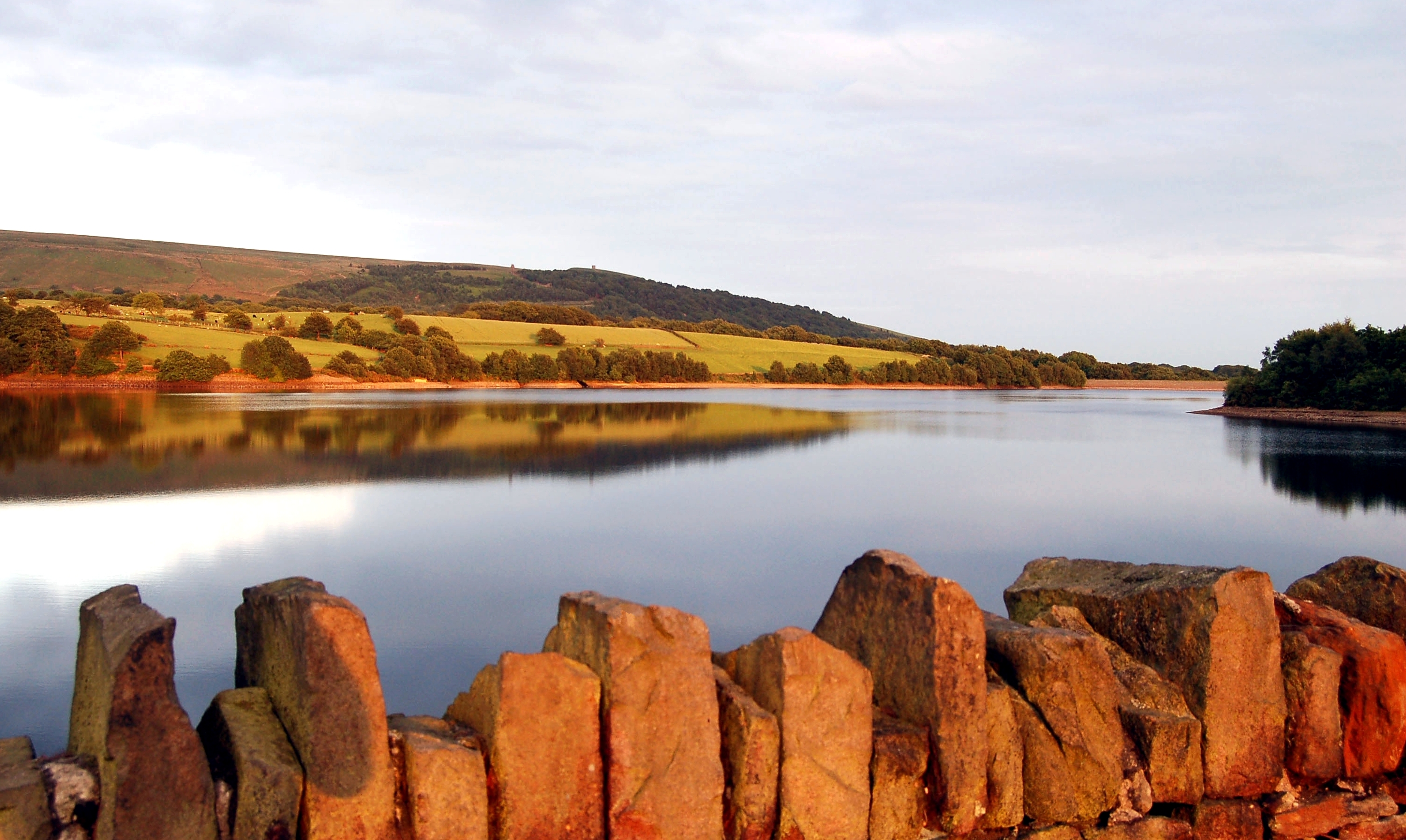
Spen Wood is a tranquil forest located in the county of Lancashire, England. This enchanting woodland covers an area of approximately 120 acres and is situated in the village of Wood, surrounded by picturesque countryside. Spen Wood is known for its abundant flora and fauna, making it a popular destination for nature enthusiasts and outdoor lovers.
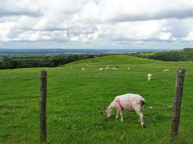
The woodland is predominantly made up of deciduous trees, such as oak, ash, and birch, which create a stunning canopy of greenery during the summer months. The forest floor is adorned with a carpet of bluebells, wild garlic, and other wildflowers, adding to its natural beauty. Spen Wood is also home to a variety of wildlife, including deer, foxes, rabbits, and a diverse range of bird species.
Visitors to Spen Wood can enjoy a peaceful stroll along its well-maintained footpaths, which wind through the forest and offer captivating views of the surrounding countryside. The forest also features a small stream that meanders through its heart, adding to the tranquility and providing a pleasant ambiance for a leisurely walk.
This woodland is a haven for nature photography, as it offers countless opportunities to capture the beauty of the changing seasons and the wildlife that resides within. It is also a popular spot for picnics and family outings, thanks to its serene atmosphere and ample space to relax and unwind.
Overall, Spen Wood in Lancashire is a delightful destination for those seeking a peaceful escape in the midst of nature. Its picturesque setting, diverse wildlife, and well-maintained paths make it an ideal location for outdoor activities and an enjoyable day out.
If you have any feedback on the listing, please let us know in the comments section below.
Spen Wood Images
Images are sourced within 2km of 53.650019/-2.5801914 or Grid Reference SD6117. Thanks to Geograph Open Source API. All images are credited.


Spen Wood is located at Grid Ref: SD6117 (Lat: 53.650019, Lng: -2.5801914)
Administrative County: Lancashire
District: Chorley
Police Authority: Lancashire
What 3 Words
///friends.manly.flitting. Near Chorley, Lancashire
Nearby Locations
Related Wikis
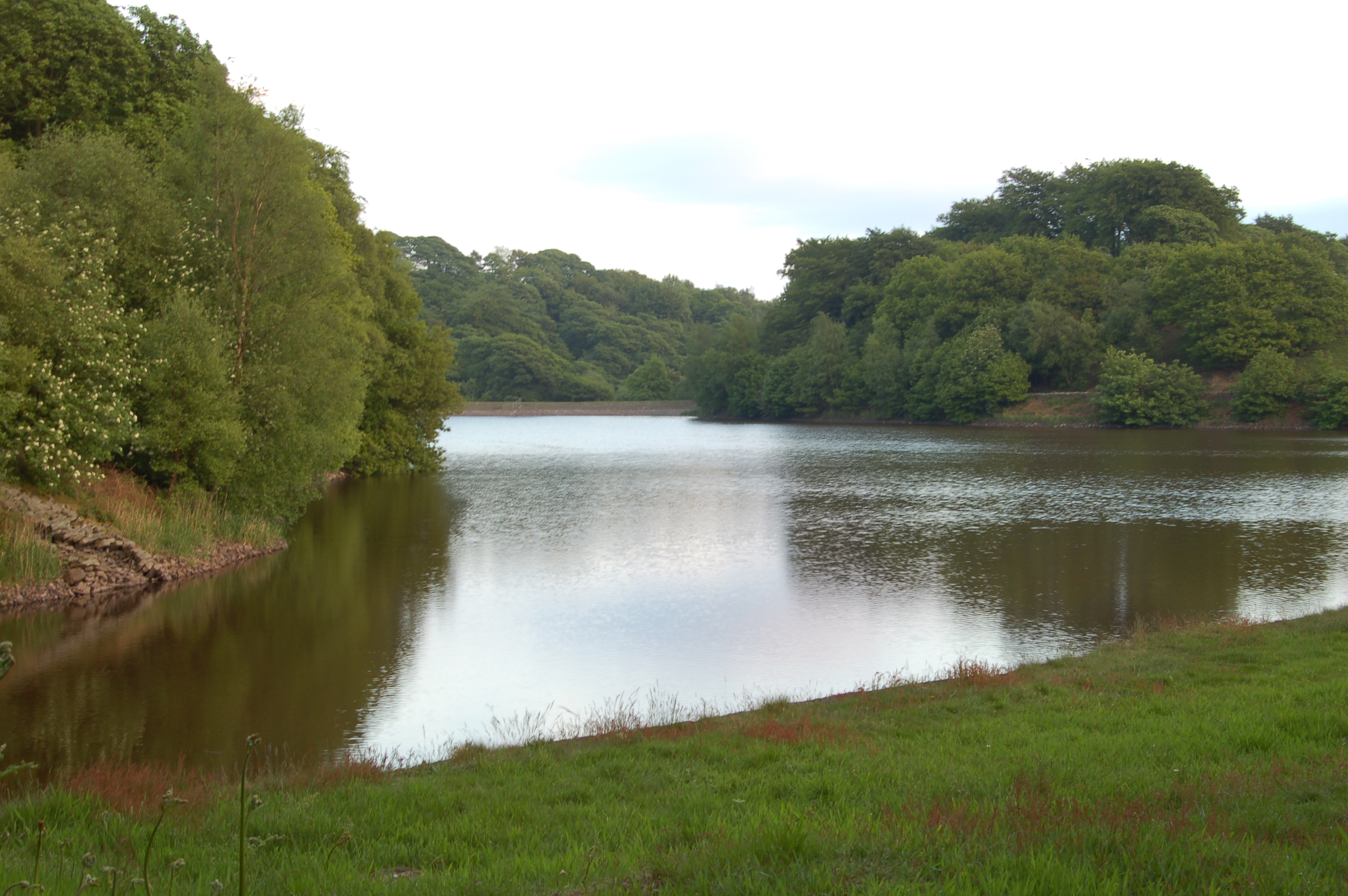
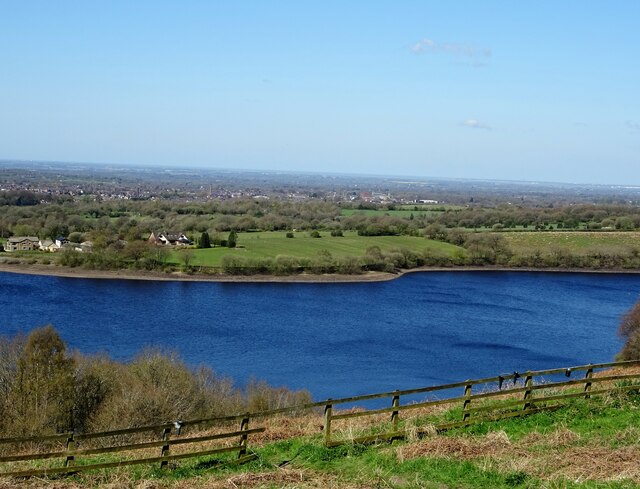
High Bullough Reservoir
High Bullough Reservoir is the oldest of all the reservoirs in the Rivington chain, having been authorised by an Act of Parliament obtained in 1846 and...
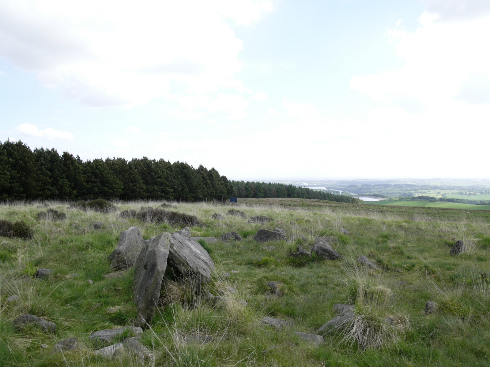
Anglezarke
Anglezarke is a sparsely populated civil parish in the Borough of Chorley in Lancashire, England. It is an agricultural area used for sheep farming and...
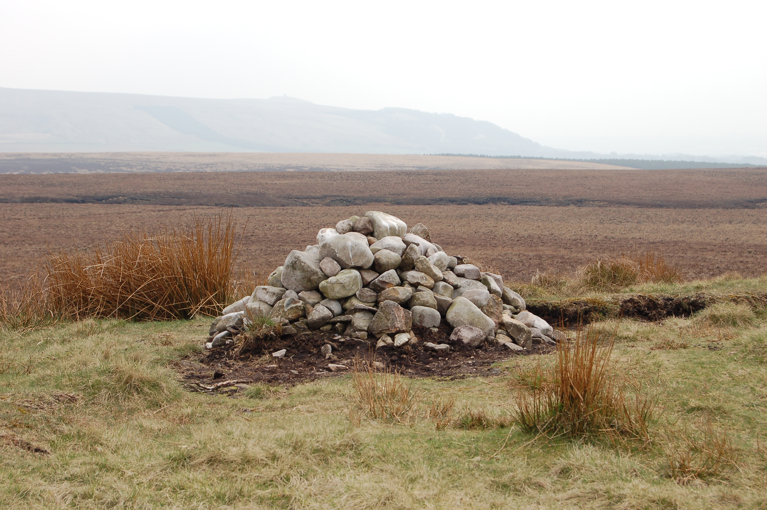
Pikestones
Pikestones is the remains of a Neolithic Burial Cairn, located on Anglezarke moor in Lancashire, England. The site is approximately 150 feet (45 metres...
Anglezarke Reservoir
Anglezarke Reservoir is the largest reservoir in the Rivington chain to the west of Anglezarke in Lancashire, England. Anglezarke Reservoir has three...

Grain Pole Hill
Grain Pole Hill is a location on Anglezarke Moor, near Chorley, within the West Pennine Moors of Lancashire, England. With a height of 285 metres (935...
Healey Nab
Healey Nab or "The Nab" is an area of countryside owned partly by Lancashire County Council containing rolling hills, moorland, woodland, ponds and streams...
Hurst Hill
Hurst Hill is a location on Anglezarke Moor, within the West Pennine Moors of Lancashire, England. With a height of 317 metres (1,040 feet), the summit...
Yarrow Reservoir
Yarrow Reservoir - named after the River Yarrow - is a reservoir in the Rivington chain in Anglezarke, Lancashire, England, and has a storage capacity...
Nearby Amenities
Located within 500m of 53.650019,-2.5801914Have you been to Spen Wood?
Leave your review of Spen Wood below (or comments, questions and feedback).