Hales Plantation
Wood, Forest in Shropshire
England
Hales Plantation
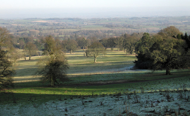
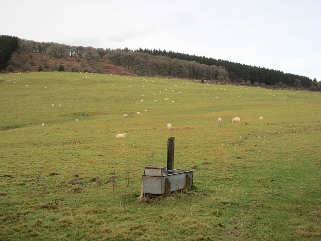
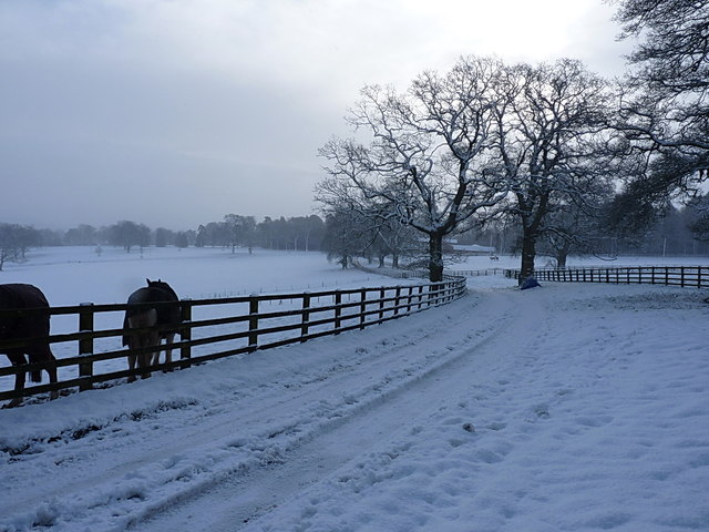
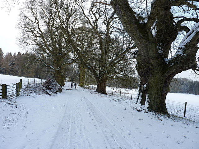
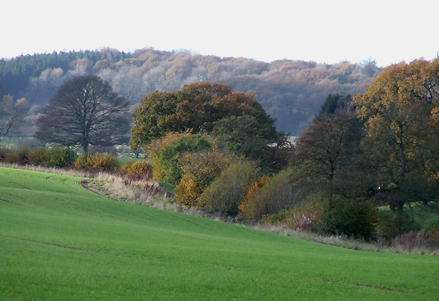
Hales Plantation is a picturesque woodland located in Shropshire, England. Situated near the village of Hales, this enchanting forest spans approximately 200 acres and is renowned for its natural beauty and diverse ecosystem. The plantation is nestled within the rolling hills of Shropshire, creating a scenic backdrop for visitors and nature enthusiasts.
The woodland is predominantly composed of native tree species such as oak, beech, and birch, creating a rich and vibrant canopy. These majestic trees provide a habitat for an array of wildlife, including deer, foxes, and numerous bird species. Hales Plantation is a haven for nature lovers, offering an opportunity to observe and appreciate the region's biodiversity.
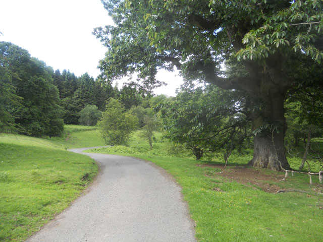
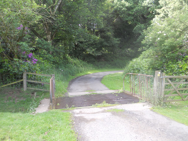
The forest boasts a network of well-maintained walking trails, allowing visitors to explore its natural wonders at their own pace. The paths wind through the thick undergrowth, which is adorned with wildflowers and ferns. Along the way, visitors are treated to breathtaking views of the surrounding countryside and may encounter rare plants and fungi.
Hales Plantation has a long history, dating back to medieval times when it was used as a hunting ground for local nobility. Today, it is managed by a conservation organization that strives to preserve its natural integrity while also providing educational programs and recreational activities for the public.
Whether you are seeking a tranquil escape into nature, a chance to spot wildlife, or an opportunity to learn about the region's ecology, Hales Plantation offers a memorable experience for visitors of all ages.
If you have any feedback on the listing, please let us know in the comments section below.
Hales Plantation Images
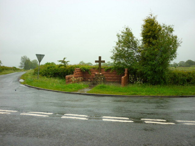
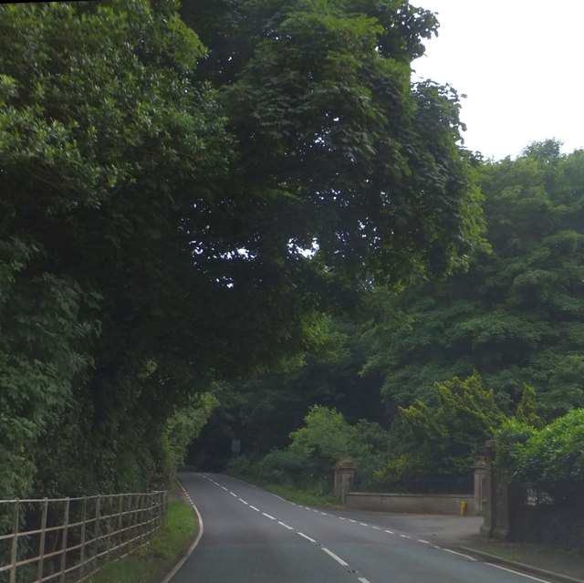
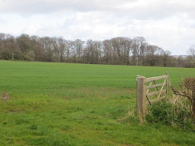
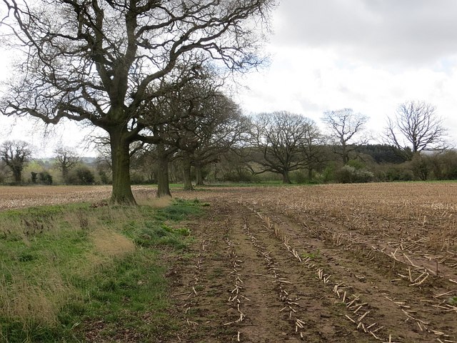
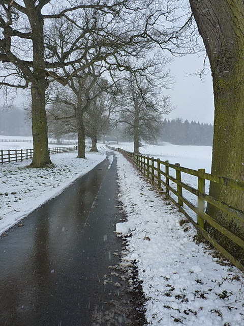
Images are sourced within 2km of 52.455275/-2.5666511 or Grid Reference SO6184. Thanks to Geograph Open Source API. All images are credited.
Hales Plantation is located at Grid Ref: SO6184 (Lat: 52.455275, Lng: -2.5666511)
Unitary Authority: Shropshire
Police Authority: West Mercia
What 3 Words
///ozone.drank.fabricate. Near Cleobury Mortimer, Shropshire
Nearby Locations
Related Wikis

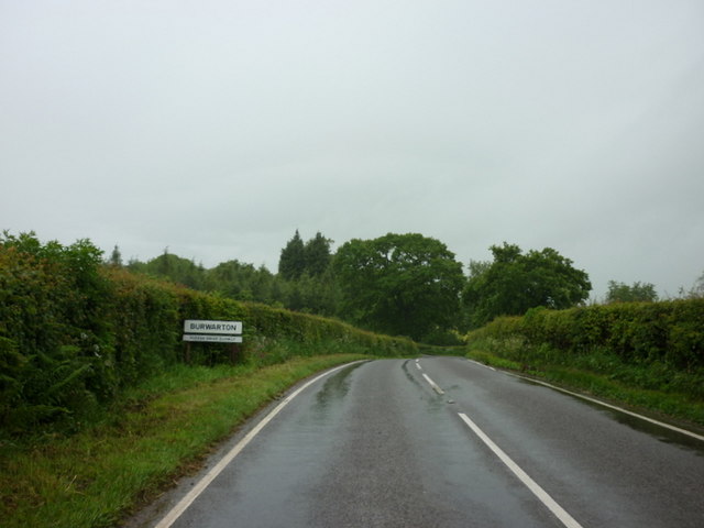
Burwarton
Burwarton is a small village and civil parish in Shropshire, England. Local governance is provided through the 'grouped' Parish Council for Aston Botterill...
Loughton, Shropshire
Loughton is a village and former civil parish, now in the parish of Wheathill, in Shropshire, England. In 1961 the parish had a population of 48.It is...

Aston Botterell
Aston Botterell is a village and small civil parish in the county of Shropshire, West Midlands, England. The village lies 8 miles (13 km) south-west of...

Burwarton Halt railway station
Burwarton Halt railway station was a station in Burwarton, Shropshire, England. The station was opened in 1908 and closed in 1938. == References == �...
Nearby Amenities
Located within 500m of 52.455275,-2.5666511Have you been to Hales Plantation?
Leave your review of Hales Plantation below (or comments, questions and feedback).