The Slade
Valley in Shropshire
England
The Slade
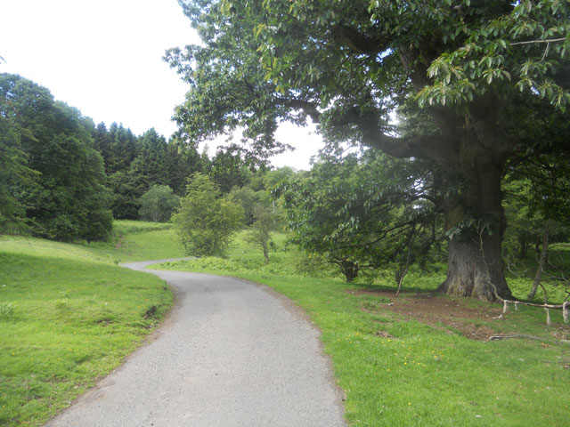
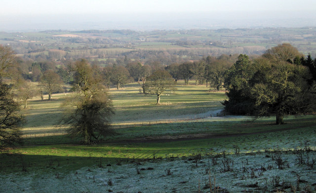
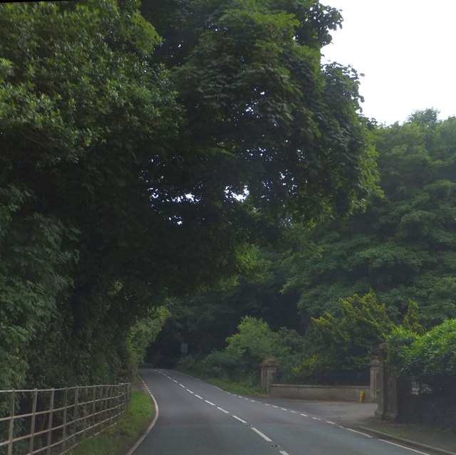
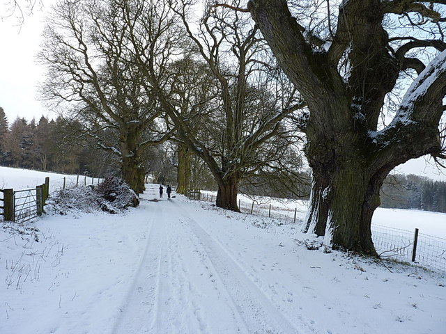
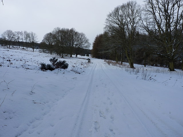
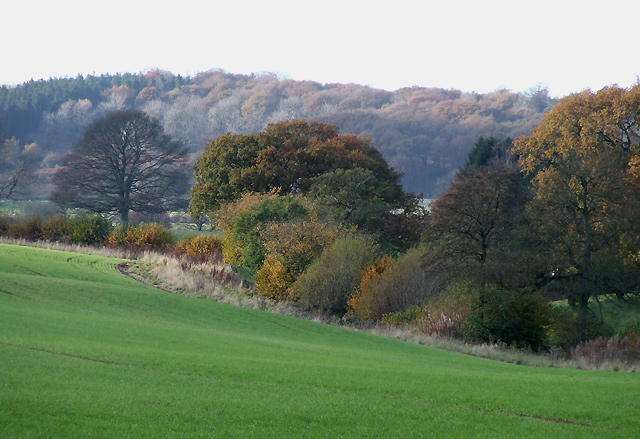
The Slade is a picturesque valley located in the county of Shropshire, England. Situated within the beautiful Shropshire Hills Area of Outstanding Natural Beauty, this tranquil valley offers breathtaking views of rolling hills, lush meadows, and meandering streams.
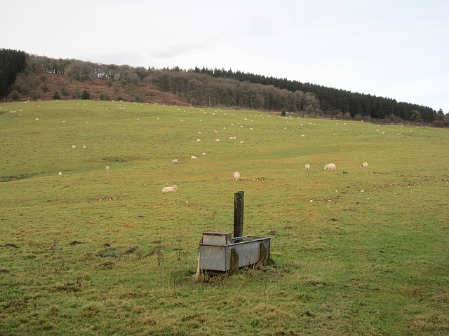
Covering an area of approximately 3 square miles, The Slade is home to a diverse range of flora and fauna. The valley boasts a rich biodiversity, with an abundance of wildlife including various bird species, small mammals, and reptiles. The area is particularly known for its stunning wildflower displays, with vibrant blooms adorning the landscape during the spring and summer months.
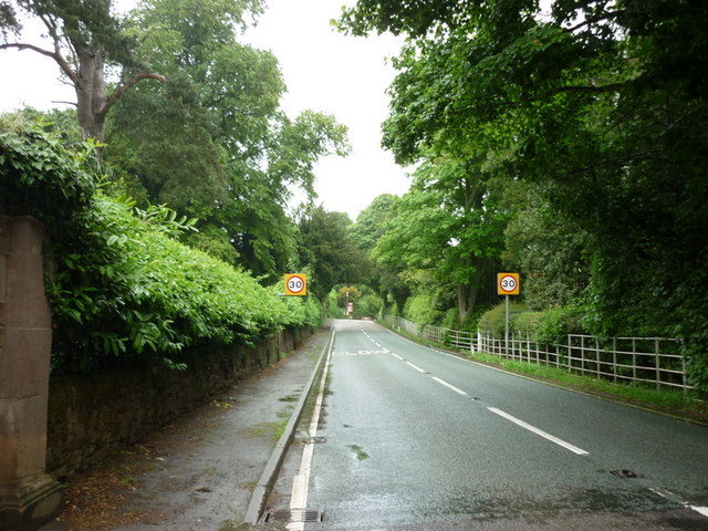
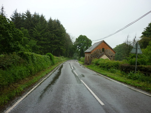
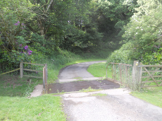
The Slade is a popular destination for nature enthusiasts and outdoor adventurers alike. The valley offers an extensive network of walking trails, allowing visitors to explore the area and take in its natural beauty. There are also opportunities for cycling, horse riding, and fishing in the nearby streams.
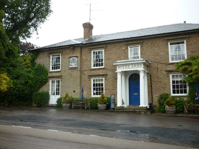
The valley is dotted with charming villages and hamlets, adding to its idyllic charm. These settlements provide visitors with the chance to experience the local culture and hospitality, with traditional pubs and tea rooms offering a warm welcome.
Overall, The Slade in Shropshire is a hidden gem, offering a peaceful retreat from the hustle and bustle of everyday life. Its unspoiled natural beauty, diverse wildlife, and recreational opportunities make it a must-visit destination for those seeking solace in nature.
If you have any feedback on the listing, please let us know in the comments section below.
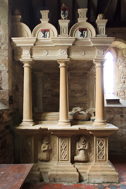
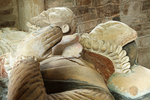
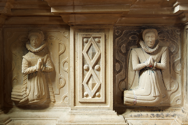
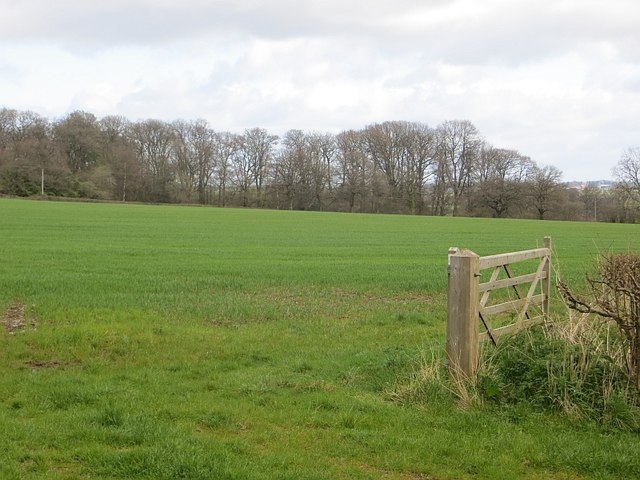
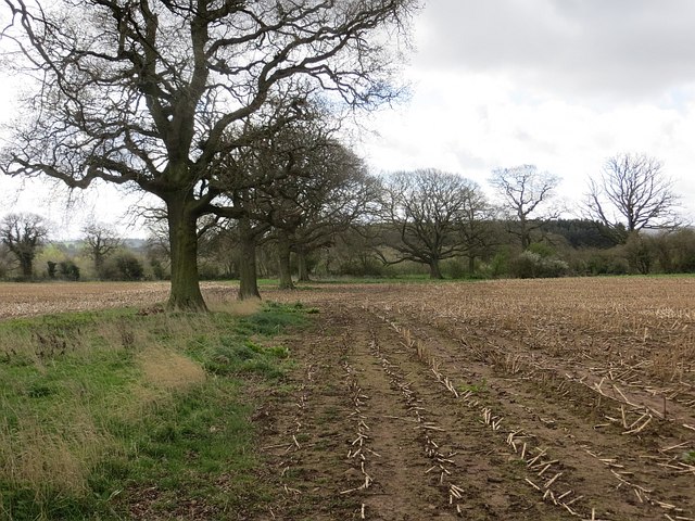
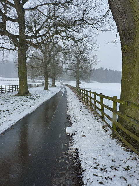
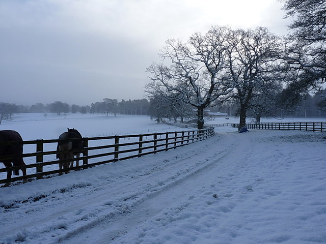
The Slade Images
Images are sourced within 2km of 52.457206/-2.5706495 or Grid Reference SO6184. Thanks to Geograph Open Source API. All images are credited.
The Slade is located at Grid Ref: SO6184 (Lat: 52.457206, Lng: -2.5706495)
Unitary Authority: Shropshire
Police Authority: West Mercia
What 3 Words
///distanced.encodes.slug. Near Cleobury Mortimer, Shropshire
Nearby Locations
Related Wikis

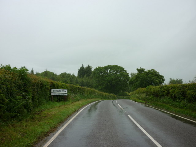
Burwarton
Burwarton is a small village and civil parish in Shropshire, England. Local governance is provided through the 'grouped' Parish Council for Aston Botterill...
Loughton, Shropshire
Loughton is a village and former civil parish, now in the parish of Wheathill, in Shropshire, England. In 1961 the parish had a population of 48.It is...

Aston Botterell
Aston Botterell is a village and small civil parish in the county of Shropshire, West Midlands, England. The village lies 8 miles (13 km) south-west of...

Burwarton Halt railway station
Burwarton Halt railway station was a station in Burwarton, Shropshire, England. The station was opened in 1908 and closed in 1938. == References == �...

Cleobury North
Cleobury North is a civil parish and small village in south east Shropshire, England. It is situated on the B4364 southwest of the market town of Bridgnorth...

Aston Botterell Siding railway station
Aston Botterell Siding railway station was a station in Aston Botterell, Shropshire, England. The station was opened in 1908 and closed in 1938. ��2�...

Wheathill, Shropshire
Wheathill is a village and civil parish 21 miles (34 km) south east of Shrewsbury, in the Shropshire district, in the ceremonial county of Shropshire,...

Brown Clee Hill
Brown Clee Hill is the highest hill in the rural English county of Shropshire, at 540 metres (1,770 ft) above sea level. It is one of the Clee Hills,...
Nearby Amenities
Located within 500m of 52.457206,-2.5706495Have you been to The Slade?
Leave your review of The Slade below (or comments, questions and feedback).