Maypole Wood

Wood, Forest in Lancashire

England

Maypole Wood

Slag Lane
Slag Lane Credit: Steven Brown

Maypole Wood is a picturesque woodland located in the county of Lancashire, England. Situated on the outskirts of a small village, this charming forest covers an area of approximately 100 acres, making it a popular destination for nature enthusiasts and outdoor adventurers alike.

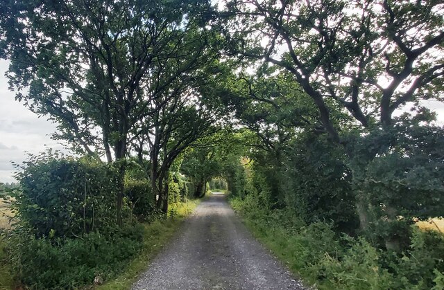
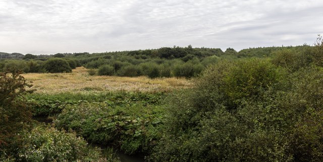
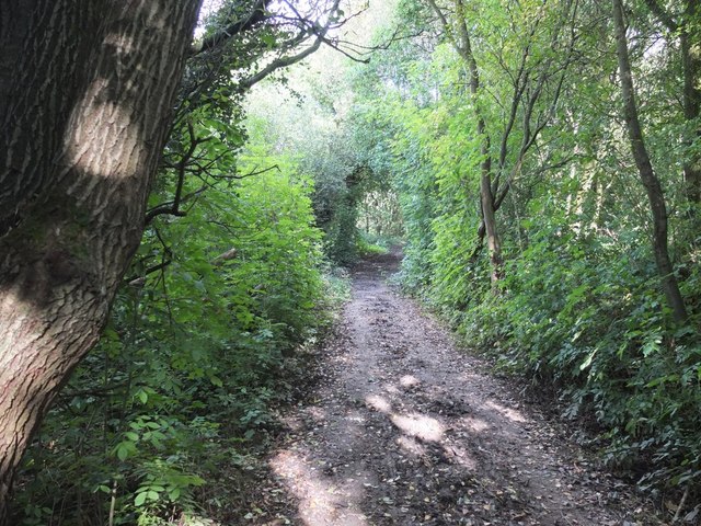
As visitors enter Maypole Wood, they are immediately greeted by a canopy of tall, mature trees that create a sense of tranquility and seclusion. The woodland is primarily dominated by native species such as oak, beech, and ash, which provide a rich and diverse habitat for a wide range of flora and fauna.

The forest floor is adorned with a vibrant carpet of wildflowers, including bluebells, primroses, and wood anemones, which add bursts of color to the landscape during the spring and summer months. This makes Maypole Wood a particularly enchanting sight for those who appreciate the beauty of nature.

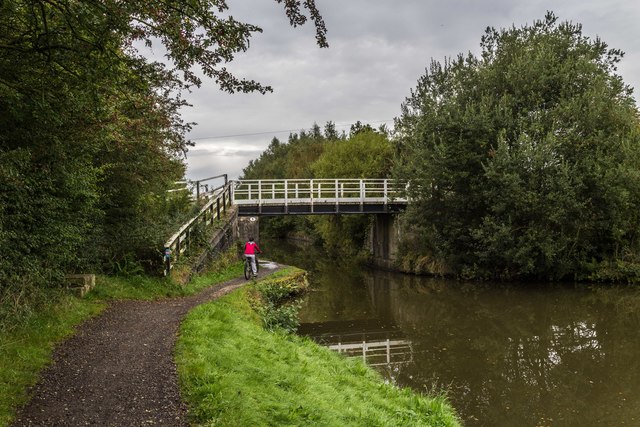
The woodland offers a network of well-maintained footpaths and trails, allowing visitors to explore its hidden corners and discover its natural treasures. Along these paths, one may encounter a variety of wildlife, including squirrels, deer, and a plethora of bird species, making it a haven for birdwatchers and wildlife enthusiasts.

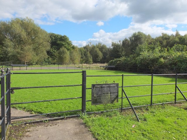
Maypole Wood also features several picnic areas and benches, providing ample opportunities for visitors to rest and enjoy a packed lunch amidst the serenity of the forest. Additionally, the woodland is equipped with informative signposts, providing educational insights into the local ecology and history of the area.

Overall, Maypole Wood offers a peaceful and captivating experience for those seeking a break from the hustle and bustle of everyday life. Its natural beauty and diverse wildlife make it a hidden gem within Lancashire's countryside.

If you have any feedback on the listing, please let us know in the comments section below.
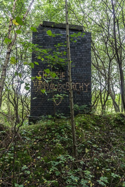
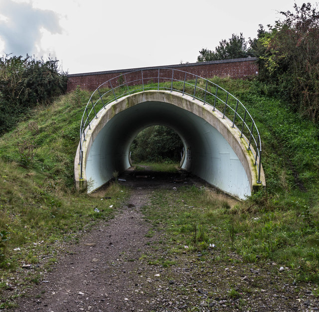
Maypole Wood Images

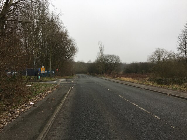
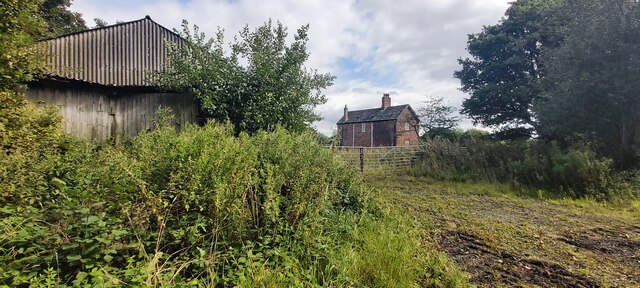
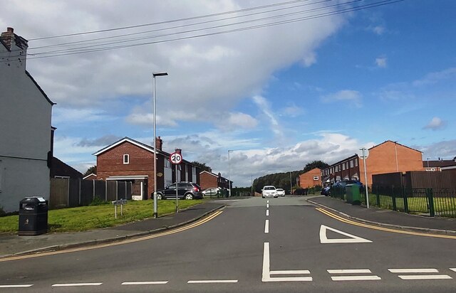
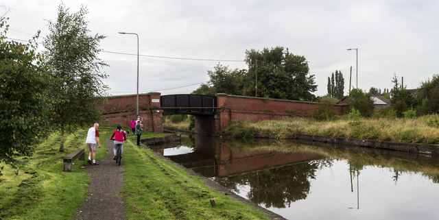
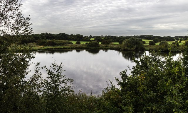
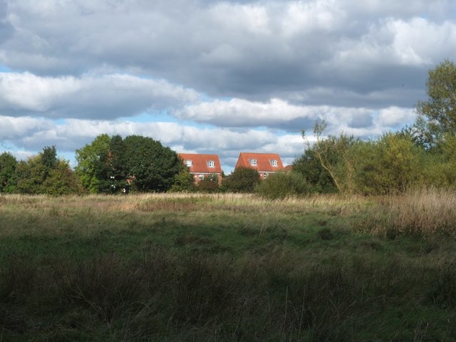
Images are sourced within 2km of 53.501808/-2.5805017 or Grid Reference SD6100. Thanks to Geograph Open Source API. All images are credited.

Slag Lane
Slag Lane
Lightshaw Hall
Lightshaw Hall
Lightshaw Lane
Lightshaw Lane
Mast by railway
Mast by railway
Winstanley Road - Bamfurlong
Leeds and Liverpool Canal Lifting bridge carrying Plank Lane over the Leeds and Liverpool Canal.
Leeds and Liverpool Canal
Lifting bridge carrying Plank Lane over the Leeds and Liverpool Canal.
Bickershaw Branch Railway Bridge pier in the woods alongside the disused Bickershaw branch railway.
Bickershaw Branch Railway
Bridge pier in the woods alongside the disused Bickershaw branch railway.
Bickershaw Lane Bickershaw Lane, the B5237, crossing the disused Bickershaw Branch Railway.
Bickershaw Lane
Bickershaw Lane, the B5237, crossing the disused Bickershaw Branch Railway.
Leeds and Liverpool Canal Smith's Bridge on the Leeds and Liverpool Canal.
Leeds and Liverpool Canal
Smith's Bridge on the Leeds and Liverpool Canal.
Hey Brook Hey Brook as it appears from under the Leeds and Liverpool Canal.
Hey Brook
Hey Brook as it appears from under the Leeds and Liverpool Canal.
Leeds and Liverpool Canal Warrington Road crossing the Leeds and Liverpool Canal.
Leeds and Liverpool Canal
Warrington Road crossing the Leeds and Liverpool Canal.
Hey Brook Small lake alongside Hey Brook, seen from the Leeds and Liverpool Canal.
Hey Brook
Small lake alongside Hey Brook, seen from the Leeds and Liverpool Canal.
Leeds and Liverpool Canal Boat on the Leeds and Liverpool Canal.
Leeds and Liverpool Canal
Boat on the Leeds and Liverpool Canal.
Coal at Bickershaw Colliery Clasts of coal can still be found on the slag heaps at the site of the old Bickershaw Colliery. Here a piece of coal has been split to expose the shiny black surface of fresh coal.
Coal at Bickershaw Colliery
Clasts of coal can still be found on the slag heaps at the site of the old Bickershaw Colliery. Here a piece of coal has been split to expose the shiny black surface of fresh coal.
Bickershaw Colliery Slag Heaps Now popular with scramblers
Bickershaw Colliery Slag Heaps
Now popular with scramblers
Field North of Chadwick's Farm, Abram
Footpath between Crankwood Road and Park Lane, Abram
Morris Dancers' Ground, Park Lane, Abram
Show me another place!

Maypole Wood is located at Grid Ref: SD6100 (Lat: 53.501808, Lng: -2.5805017)

Unitary Authority: Wigan

Police Authority: Greater Manchester

What 3 Words

///lamps.plenty.trend. Near Abram, Manchester

Nearby Locations

Maypole Wood

Related Wikis

Park Lane Halt railway station

Park Lane Halt railway station was an unadvertised halt which served the communities of Bickershaw and Abram southeast of Wigan, England. == Location... ==

Abram, Greater Manchester

Abram is a village and electoral ward in the Metropolitan Borough of Wigan, Greater Manchester, England. It lies on flat land on the northeast bank of...

West Leigh and Bedford railway station

The West Leigh and Bedford railway station served the hamlet of Crankwood, the village of Abram, and the Plank Lane area of Leigh, England. Like many railways...

Abram Council Offices

Abram Council Offices is a municipal building in Warrington Road, Abram, Greater Manchester, England. The building is currently used as private apartments...

Nearby Amenities

Located within 500m of 53.501808,-2.5805017
Generator Method: photovoltaic
Generator Output Electricity: yes
Generator Source: solar
Generator Type: solar_photovoltaic_panel
Location: roof
Power: generator
Lat/Long: 53.5044358/-2.5831885
Generator Method: photovoltaic
Generator Output Electricity: yes
Generator Source: solar
Generator Type: solar_photovoltaic_panel
Location: roof
Power: generator
Lat/Long: 53.5046224/-2.5820539
Generator Method: photovoltaic
Generator Output Electricity: yes
Generator Source: solar
Generator Type: solar_photovoltaic_panel
Location: roof
Power: generator
Lat/Long: 53.5043353/-2.5820432
Generator Method: photovoltaic
Generator Output Electricity: yes
Generator Source: solar
Generator Type: solar_photovoltaic_panel
Location: roof
Power: generator
Lat/Long: 53.5054806/-2.5821183
Generator Method: photovoltaic
Generator Output Electricity: yes
Generator Source: solar
Generator Type: solar_photovoltaic_panel
Location: roof
Power: generator
Lat/Long: 53.5053036/-2.5846208
Generator Method: photovoltaic
Generator Output Electricity: yes
Generator Source: solar
Generator Type: solar_photovoltaic_panel
Location: roof
Power: generator
Lat/Long: 53.5052477/-2.5852753
Generator Method: photovoltaic
Generator Output Electricity: yes
Generator Source: solar
Generator Type: solar_photovoltaic_panel
Location: roof
Power: generator
Lat/Long: 53.4998164/-2.5850517
The data included in this document is from www.openstreetmap.org. The data is made available under ODbL.

Have you been to Maypole Wood?

Leave your review of Maypole Wood below (or comments, questions and feedback).