Copt Hewick
Settlement in Yorkshire Harrogate
England
Copt Hewick
Copt Hewick is a small village located in the Harrogate district of North Yorkshire, England. Situated approximately four miles to the east of the town of Ripon, it lies within the picturesque countryside of the Yorkshire Dales.
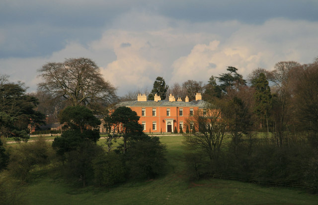
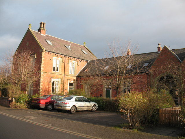
With a population of around 300 residents, Copt Hewick offers a quiet and charming rural setting. The village is known for its collection of traditional stone-built houses, many of which date back several centuries, giving it a quintessentially English feel. The local landscape is characterized by rolling hills, green fields, and meandering country lanes, providing opportunities for scenic walks and peaceful strolls.
Copt Hewick benefits from its proximity to Ripon, which offers a range of amenities including shops, schools, and healthcare facilities. The village itself, however, is predominantly residential and does not have its own commercial center. Nevertheless, its tranquil atmosphere and close-knit community make it an appealing place to settle for those seeking a peaceful rural lifestyle.
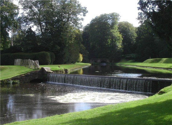
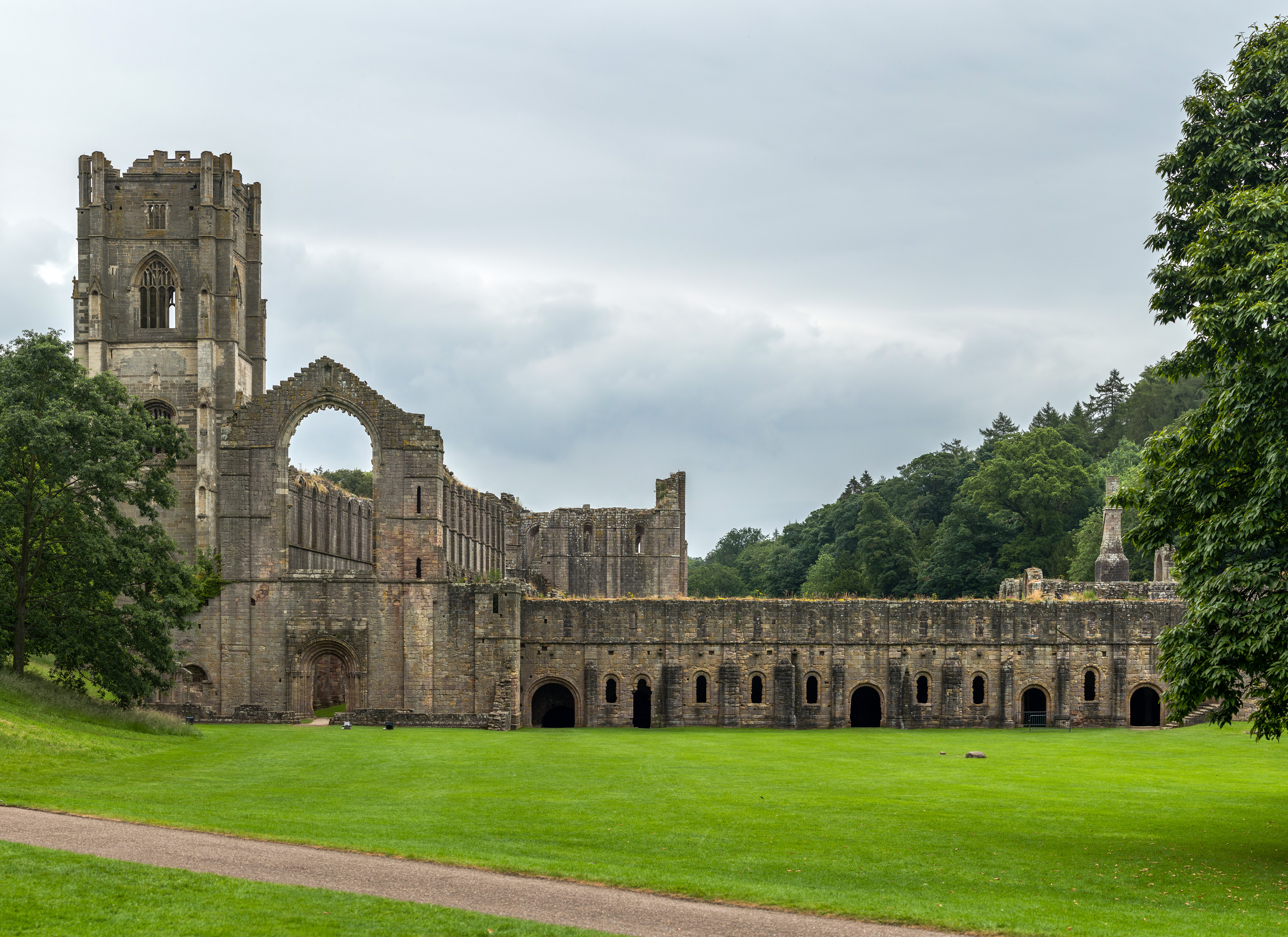
The surrounding area provides plenty of opportunities for outdoor activities, such as hiking, cycling, and fishing. Additionally, Copt Hewick is within easy reach of notable attractions, including the UNESCO World Heritage Site of Fountains Abbey and the stunning Nidderdale Area of Outstanding Natural Beauty.
Overall, Copt Hewick is a charming village that offers a close community spirit, beautiful countryside, and convenient access to nearby amenities and attractions, making it an idyllic place to call home.
If you have any feedback on the listing, please let us know in the comments section below.
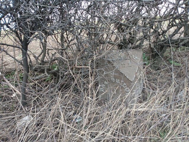
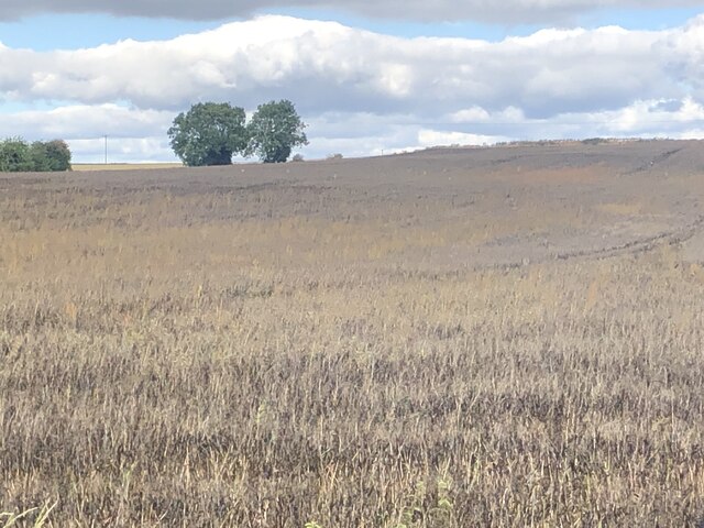
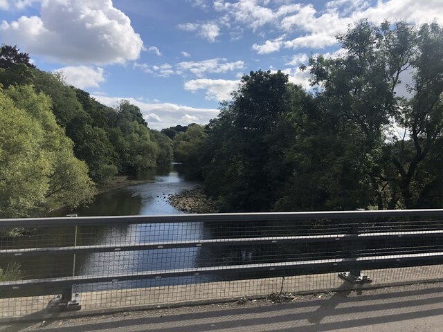
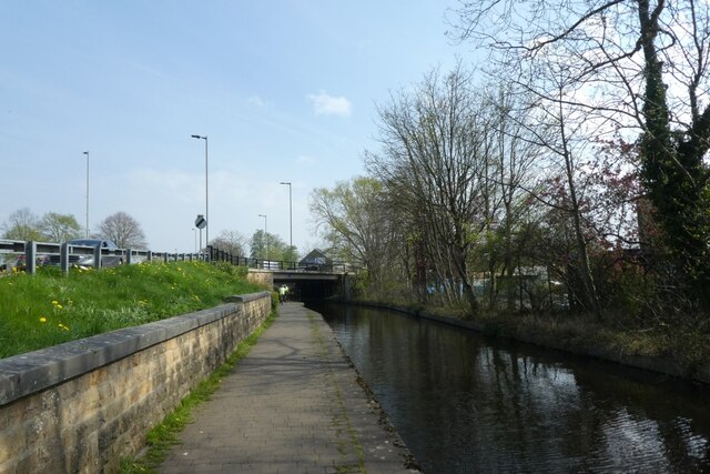
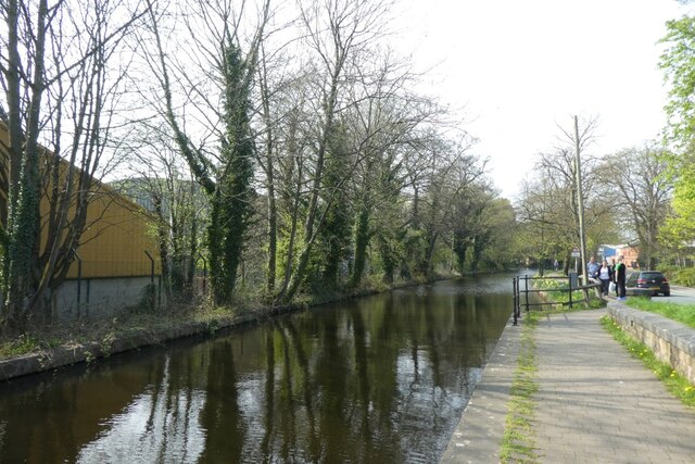
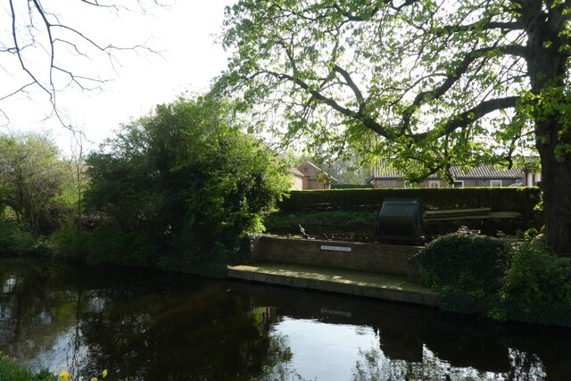
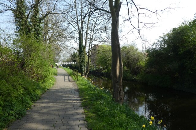
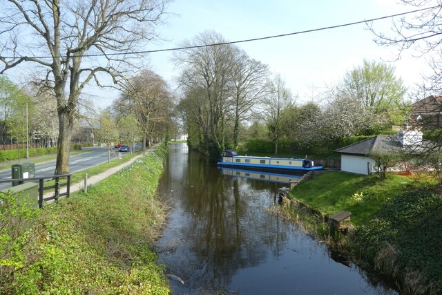
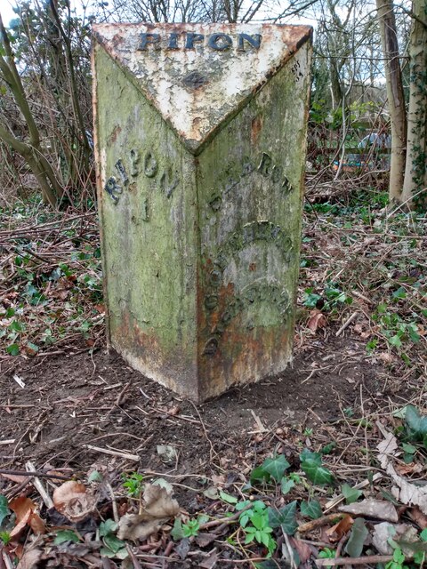
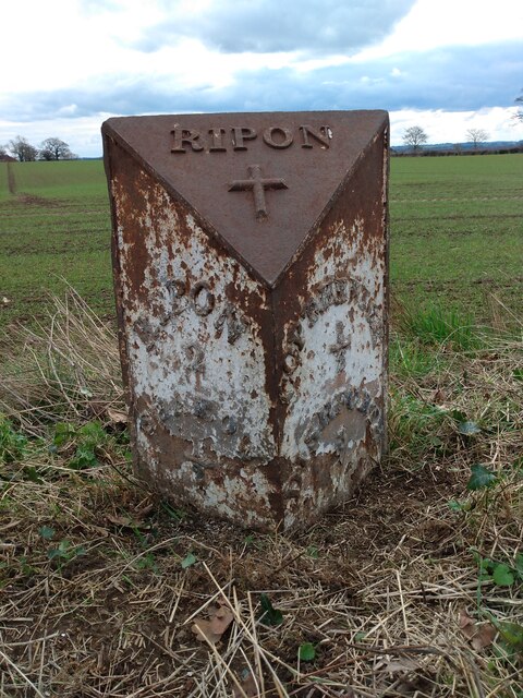
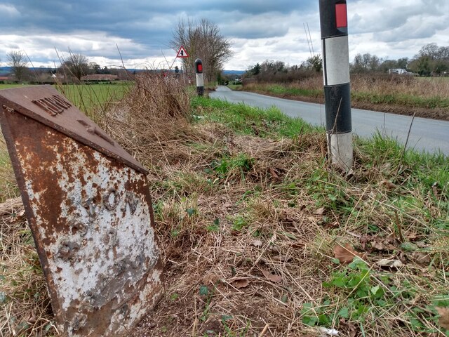
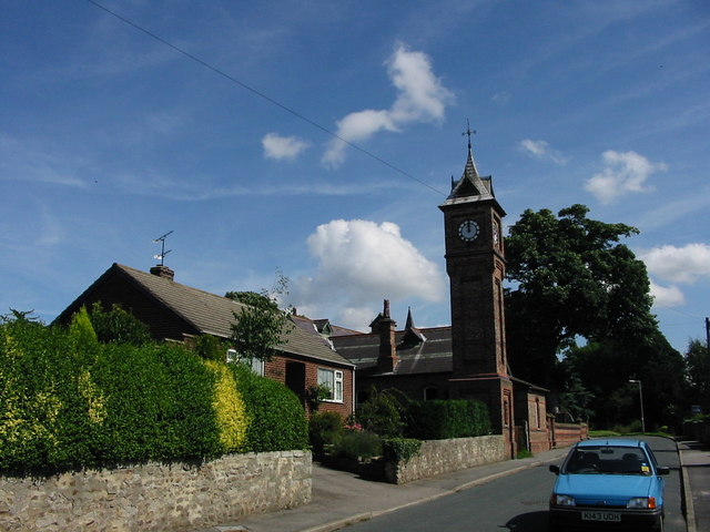
Copt Hewick Images
Images are sourced within 2km of 54.136146/-1.484476 or Grid Reference SE3371. Thanks to Geograph Open Source API. All images are credited.


Copt Hewick is located at Grid Ref: SE3371 (Lat: 54.136146, Lng: -1.484476)
Division: West Riding
Administrative County: North Yorkshire
District: Harrogate
Police Authority: North Yorkshire
What 3 Words
///racetrack.equipping.couch. Near Ripon, North Yorkshire
Nearby Locations
Related Wikis
Copt Hewick
Copt Hewick is a village and civil parish in the Harrogate district of North Yorkshire, England. The village lies about two miles east of Ripon. It had...

Bridge Hewick
Bridge Hewick is a village and civil parish in the Harrogate district of North Yorkshire, England. The village is situated on the River Ure, and approximately...
River Skell
The River Skell is a 12-mile-long (19 km) tributary of the River Ure in North Yorkshire, England. Its source is in boggy ground on moorland 2 miles (3...
Sharow
Sharow is a village and civil parish in the Harrogate district of North Yorkshire, England. It is about 1 mile (1.6 km) north-east of Ripon. The name...

Ripon Racecourse
Ripon Racecourse is a thoroughbred horse racing venue located in Ripon, North Yorkshire, England and is nicknamed the Garden Racecourse. == History... ==
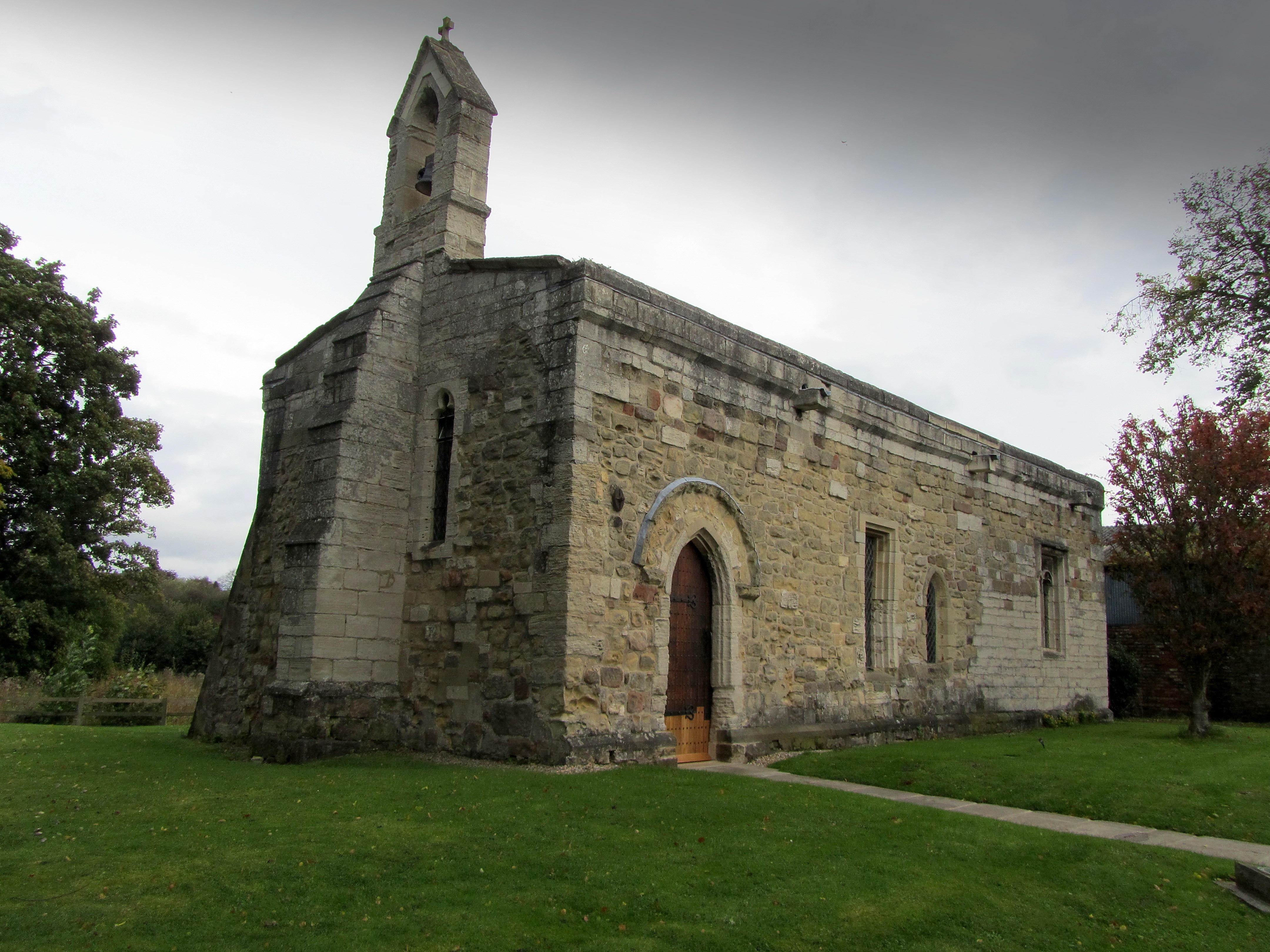
Chapel of St Mary Magdalen, Ripon
The Chapel of St Mary Magdalen, Ripon (sometimes listed as St Mary Magdalene, or St Mary Magdalen (Leper) Chapel, Ripon), is an active Anglican church...
Abbeys Amble
The Abbeys Amble is a long-distance path in North Yorkshire, England. It is a circular walk of 104 miles (167 km), based on Ripon. It links three abbeys...
Ripon railway station
Ripon railway station was a railway station that served Ripon, North Yorkshire, England on the Leeds-Northallerton Line that ran between Harrogate and...
Nearby Amenities
Located within 500m of 54.136146,-1.484476Have you been to Copt Hewick?
Leave your review of Copt Hewick below (or comments, questions and feedback).