Copt Hewick

Civil Parish in Yorkshire Harrogate

England

Copt Hewick

Old milepost One of the two remaining mileposts along this 6 mile stretch of the B6265, this is how the photographer found it in March 2022.  When it was first recorded in 2006 it was already very sunken in this narrow verge.
Old milepost Credit: Hilary Jones

Copt Hewick is a small civil parish located in the Harrogate district of North Yorkshire, England. Situated approximately 4 miles south of the town of Ripon, the parish covers an area of about 7.5 square kilometers.

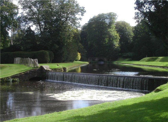
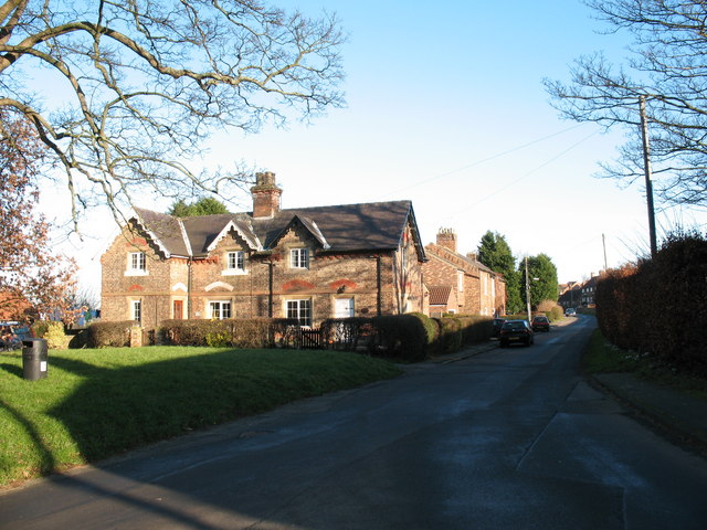
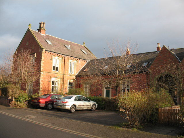
Characterized by its picturesque rural setting, Copt Hewick is home to a population of around 200 residents. The village consists of a scattering of houses and farms, surrounded by rolling countryside and farmland. The River Ure flows through the parish, adding to its natural beauty.

Historically, Copt Hewick was part of the ancient parish of Kirkby Malzeard, but it became a separate civil parish in the 19th century. The name "Copt Hewick" is believed to have originated from the Old English words "cop" meaning summit or hilltop, and "hiewic" meaning enclosure or farm.

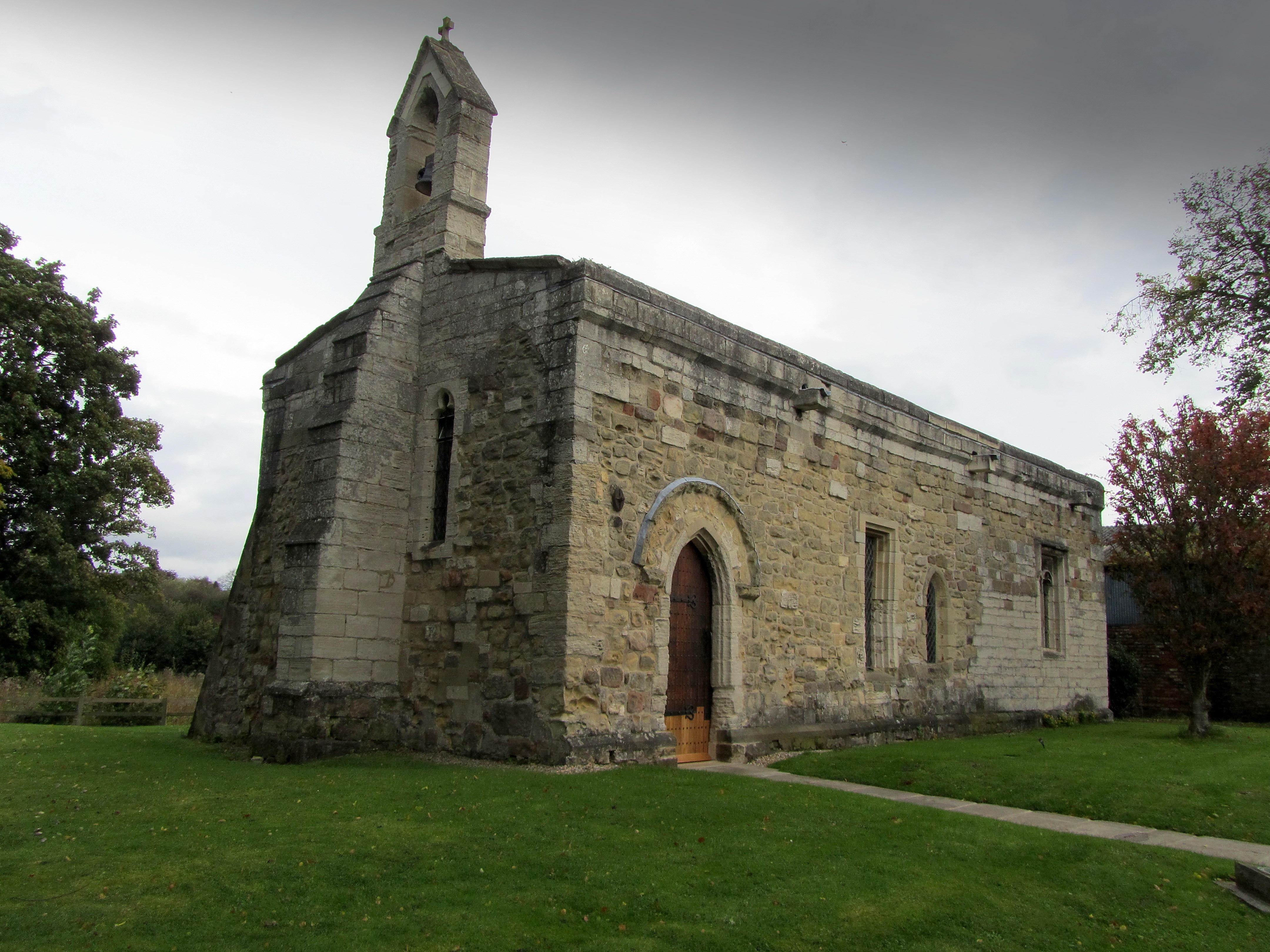
The village does not have its own church or school, with residents typically traveling to neighboring settlements for these services. However, Copt Hewick does have a village hall, which serves as a community hub for various events and activities.

Copt Hewick offers a peaceful and idyllic setting, attracting those seeking a tranquil lifestyle away from the hustle and bustle of larger towns and cities. With its charming countryside, access to outdoor activities, and close proximity to nearby amenities, Copt Hewick provides a quaint rural retreat in the heart of Yorkshire.

If you have any feedback on the listing, please let us know in the comments section below.
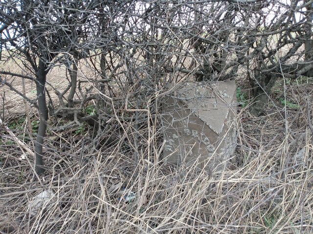
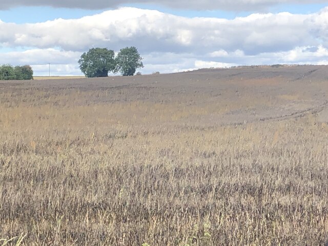
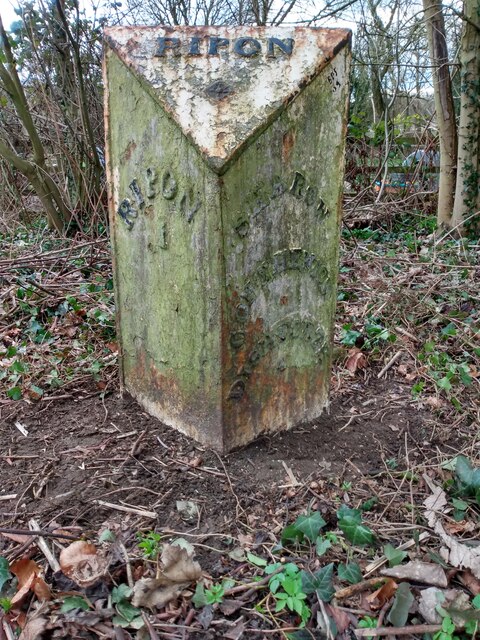
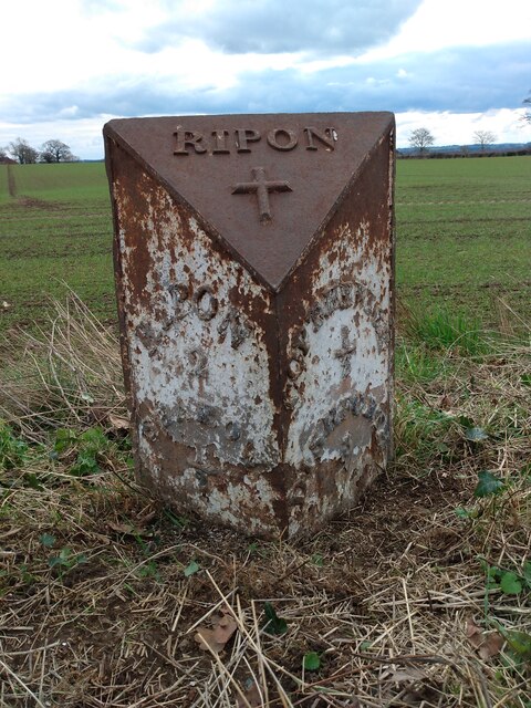
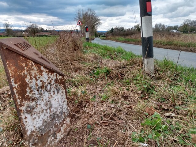
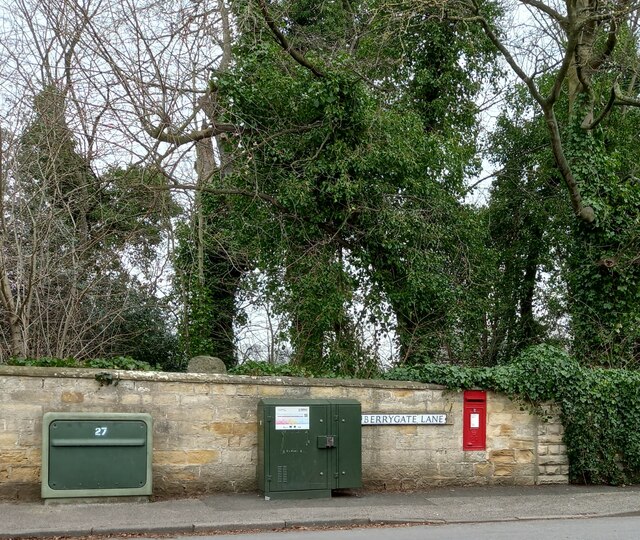
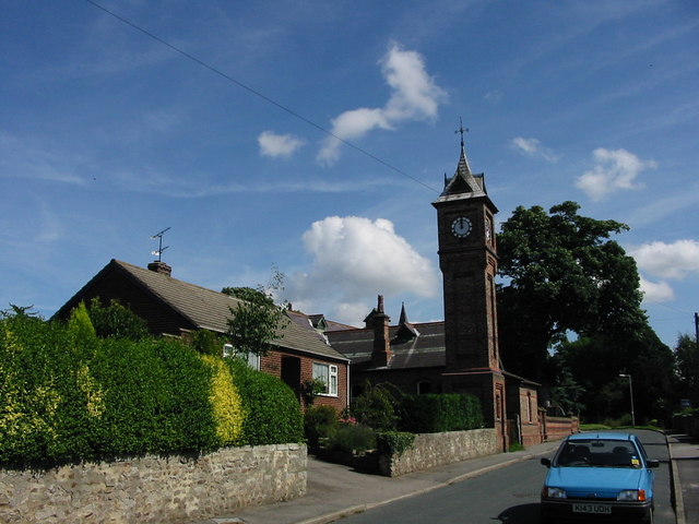
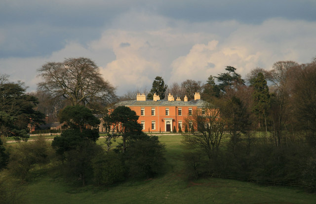
Copt Hewick Images

Images are sourced within 2km of 54.140409/-1.481101 or Grid Reference SE3371. Thanks to Geograph Open Source API. All images are credited.

Old milepost One of the two remaining mileposts along this 6 mile stretch of the B6265, this is how the photographer found it in March 2022.  When it was first recorded in 2006 it was already very sunken in this narrow verge.
Old milepost
One of the two remaining mileposts along this 6 mile stretch of the B6265, this is how the photographer found it in March 2022. When it was first recorded in 2006 it was already very sunken in this narrow verge.
Old milepost After 25 minutes of clearing vegetation and soil by the photographer this milepost is now more visible.  As the verge at this point is only about a metre wide it may be difficult to completely refurbish it safely.  It is one of 14 known survivors of mileposts made by J Ingram, Ripon which are on the A61 from Ripon to Harrogate and the B6265 from Boroughbridge through Ripon to Pateley Bridge.
Old milepost
After 25 minutes of clearing vegetation and soil by the photographer this milepost is now more visible. As the verge at this point is only about a metre wide it may be difficult to completely refurbish it safely. It is one of 14 known survivors of mileposts made by J Ingram, Ripon which are on the A61 from Ripon to Harrogate and the B6265 from Boroughbridge through Ripon to Pateley Bridge.
Crop ready for harvesting Looks like some kind of vetch to me
Crop ready for harvesting
Looks like some kind of vetch to me
Memorial to Charles & Jessie Piazzi Smyth Charles was Astronomer Royal for Scotland who together with his wife Jessie had travelled to distant lands for science. This included Egypt apparently and this pyramid is in the churchyard of St John
Memorial to Charles & Jessie Piazzi Smyth
Charles was Astronomer Royal for Scotland who together with his wife Jessie had travelled to distant lands for science. This included Egypt apparently and this pyramid is in the churchyard of St John
Old milepost At the western end of Sharow is this milepost which, from its style, was probably cast at the J Ingram foundry in Ripon in the middle to late 19th century.  Last painted in 2009 by a milestone Society member.  Difficult to read on the righthand side is SHAROW/COPT-HEWICK/DISHFORTH/1.
Old milepost
At the western end of Sharow is this milepost which, from its style, was probably cast at the J Ingram foundry in Ripon in the middle to late 19th century. Last painted in 2009 by a milestone Society member. Difficult to read on the righthand side is SHAROW/COPT-HEWICK/DISHFORTH/1.
Old milepost Looking along Dishforth Road towards the A6108/A61 roundabout into Ripon.   The River Ure flows just behind the milepost.
Old milepost
Looking along Dishforth Road towards the A6108/A61 roundabout into Ripon. The River Ure flows just behind the milepost.
Old milepost One of only two mileposts on the 5 miles of minor road between Ripon and Dishforth.  It is about 100m east of Strait Lane into Copt Hewick.   It is exposed to the weather from the north.  The legends which can just be made out are RIPON/2/SHAROW/½ on the left face and COPT-HEWICK/½/DISHFORTH/3 on the right.  Probably cast at the J Ingram foundry in Ripon.
Old milepost
One of only two mileposts on the 5 miles of minor road between Ripon and Dishforth. It is about 100m east of Strait Lane into Copt Hewick. It is exposed to the weather from the north. The legends which can just be made out are RIPON/2/SHAROW/½ on the left face and COPT-HEWICK/½/DISHFORTH/3 on the right. Probably cast at the J Ingram foundry in Ripon.
Old milepost The Ripon 2 milepost leaning back.   In March the dead grass trampled down but in summer lost in tall wayside vegetation.  In the distance on the righthand side of the road can just be made out the white road sign for Strait Lane into Copt Hewick
Old milepost
The Ripon 2 milepost leaning back. In March the dead grass trampled down but in summer lost in tall wayside vegetation. In the distance on the righthand side of the road can just be made out the white road sign for Strait Lane into Copt Hewick
Old milepost Just inside Hutton Lane the unclassified roadleading to Hutton Conyers and Bedale.  Although no foundry name is evident it was probably cast by J Ingram in Ripon as it is very similar to posts on the Ripon to Pateley Bridge road which have the makers name cast on.  The legend on the left face is HUTTON/CONYERS/½/WATH/3/BEDALE/12.
Old milepost
Just inside Hutton Lane the unclassified roadleading to Hutton Conyers and Bedale. Although no foundry name is evident it was probably cast by J Ingram in Ripon as it is very similar to posts on the Ripon to Pateley Bridge road which have the makers name cast on. The legend on the left face is HUTTON/CONYERS/½/WATH/3/BEDALE/12.
Sharow, St John's church The bolt benchmark is cut into the south face of the church tower.
Sharow, St John's church
The bolt benchmark is cut into the south face of the church tower.
Sharow, St John's church There is a bolt benchmark cut into the south face of the church tower.
Sharow, St John's church
There is a bolt benchmark cut into the south face of the church tower.
Sharow, Berrygate Lane The badly eroded benchmark is cut into the roadside wall to the right of the postbox.
Sharow, Berrygate Lane
The badly eroded benchmark is cut into the roadside wall to the right of the postbox.
Sharow, Berrygate Lane There is a badly eroded benchmark cut into the roadside wall to the right of the postbox, and to the left of the join in the wall.
Sharow, Berrygate Lane
There is a badly eroded benchmark cut into the roadside wall to the right of the postbox, and to the left of the join in the wall.
Sharow, Dishforth Road The benchmark is cut into the roadside wall on the north side of the road.
Sharow, Dishforth Road
The benchmark is cut into the roadside wall on the north side of the road.
Sharow, Dishforth Road There is a benchmark cut into a stone on the 3rd course on the roadside wall to the left of the entrance.
Sharow, Dishforth Road
There is a benchmark cut into a stone on the 3rd course on the roadside wall to the left of the entrance.
Ripon, Berrygate Lane The benchmark is cut into a left hand brick gatepost on the west side of the lane.
Ripon, Berrygate Lane
The benchmark is cut into a left hand brick gatepost on the west side of the lane.
Ripon, Berrygate Lane The benchmark is cut into a left hand brick gatepost on the west side of the lane.
Ripon, Berrygate Lane
The benchmark is cut into a left hand brick gatepost on the west side of the lane.
Ripon, Hutton Hill Farm The slightly damaged benchmark is cut into the south-west face of a brick farm building on the west side of A61.
Ripon, Hutton Hill Farm
The slightly damaged benchmark is cut into the south-west face of a brick farm building on the west side of A61.
Show me another place!

Copt Hewick is located at Grid Ref: SE3371 (Lat: 54.140409, Lng: -1.481101)

Division: West Riding

Administrative County: North Yorkshire

District: Harrogate

Police Authority: North Yorkshire

What 3 Words

///towers.essay.mammal. Near Ripon, North Yorkshire

Related Wikis

Copt Hewick

Copt Hewick is a village and civil parish in the Harrogate district of North Yorkshire, England. The village lies about two miles east of Ripon. It had...

Sharow

Sharow is a village and civil parish in the Harrogate district of North Yorkshire, England. It is about 1 mile (1.6 km) north-east of Ripon. The name...

Bridge Hewick

Bridge Hewick is a village and civil parish in the Harrogate district of North Yorkshire, England. The village is situated on the River Ure, and approximately...

River Skell

The River Skell is a 12-mile-long (19 km) tributary of the River Ure in North Yorkshire, England. Its source is in boggy ground on moorland 2 miles (3...

Hutton Conyers

Hutton Conyers is a village and civil parish in the Harrogate district of North Yorkshire, England. It is situated near the River Ure and 1-mile (1.6...

Ripon Racecourse

Ripon Racecourse is a thoroughbred horse racing venue located in Ripon, North Yorkshire, England and is nicknamed the Garden Racecourse. == History... ==

Chapel of St Mary Magdalen, Ripon

The Chapel of St Mary Magdalen, Ripon (sometimes listed as St Mary Magdalene, or St Mary Magdalen (Leper) Chapel, Ripon), is an active Anglican church...

Ripon railway station

Ripon railway station was a railway station that served Ripon, North Yorkshire, England on the Leeds-Northallerton Line that ran between Harrogate and...

Nearby Amenities

Located within 500m of 54.140409,-1.481101
Rest Area
Lat/Long: 54.1435785/-1.476783
Generator Method: photovoltaic
Generator Output Electricity: yes
Generator Source: solar
Generator Type: solar_photovoltaic_panel
Power: generator
Lat/Long: 54.136672/-1.4824099
Generator Method: photovoltaic
Generator Output Electricity: yes
Generator Source: solar
Generator Type: solar_photovoltaic_panel
Power: generator
Lat/Long: 54.1366565/-1.4822697
Generator Method: photovoltaic
Generator Output Electricity: yes
Generator Source: solar
Generator Type: solar_photovoltaic_panel
Power: generator
Lat/Long: 54.1361807/-1.4803553
Clock
Display: analog
Support: wall_mounted
Lat/Long: 54.1364453/-1.4801513
Clock
Display: analog
Support: wall_mounted
Lat/Long: 54.1364508/-1.4801823
Clock
Display: analog
Support: wall_mounted
Lat/Long: 54.1364607/-1.480135
Advertising: board
Lat/Long: 54.1365206/-1.4798569
The data included in this document is from www.openstreetmap.org. The data is made available under ODbL.

Have you been to Copt Hewick?

Leave your review of Copt Hewick below (or comments, questions and feedback).