Outbye Wood

Wood, Forest in Berwickshire

Scotland

Outbye Wood

Log pile near Wedderlie One of several in the area.
Log pile near Wedderlie Credit: M J Richardson

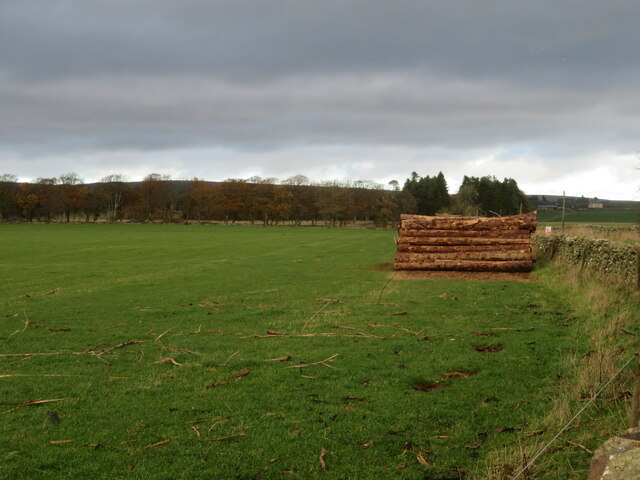
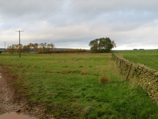
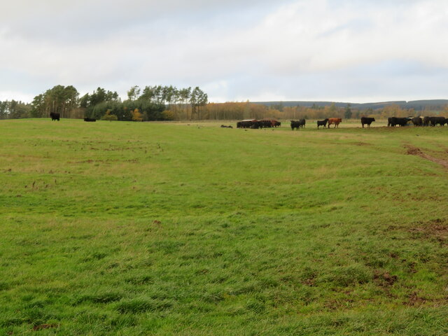
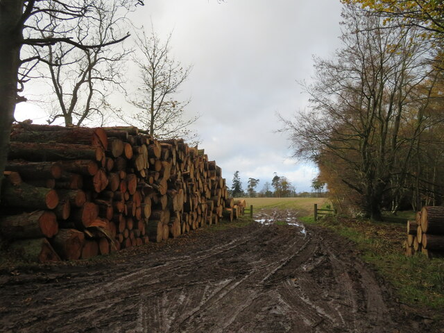
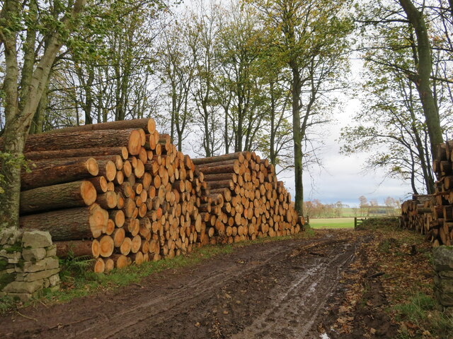
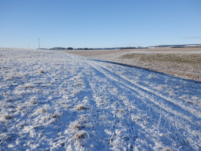
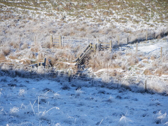
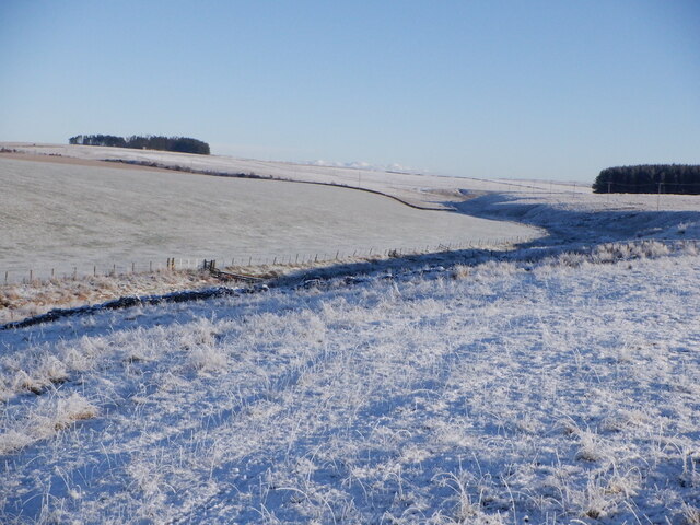
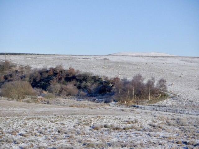
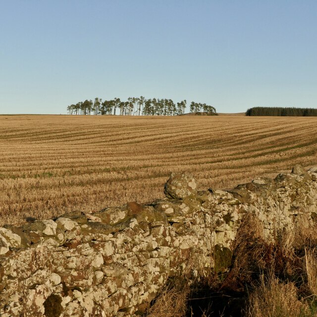
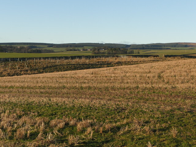
Outbye Wood is a sprawling forest located in the beautiful countryside of Berwickshire, Scotland. Covering an area of approximately 200 acres, this ancient woodland is a haven for wildlife and a popular destination for nature lovers and outdoor enthusiasts.

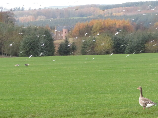
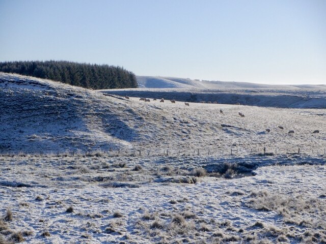
The woodland is predominantly made up of native broadleaf trees such as oak, beech, and birch, creating a diverse and vibrant ecosystem. The forest floor is carpeted with a variety of wildflowers, ferns, and mosses, adding to the rich biodiversity of the area.

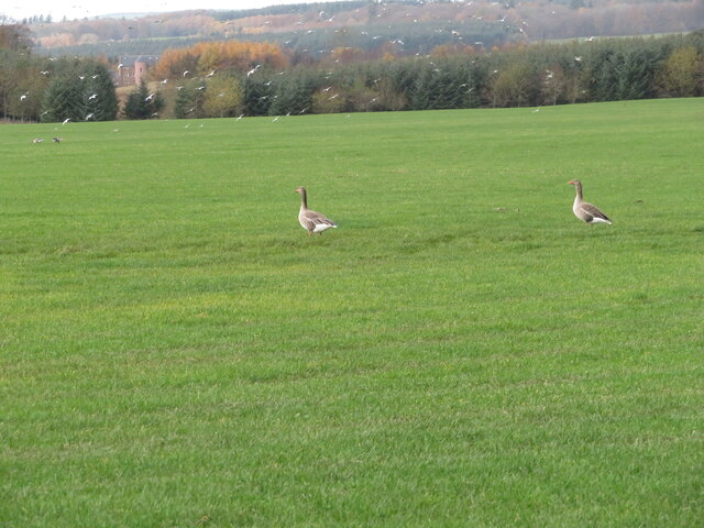
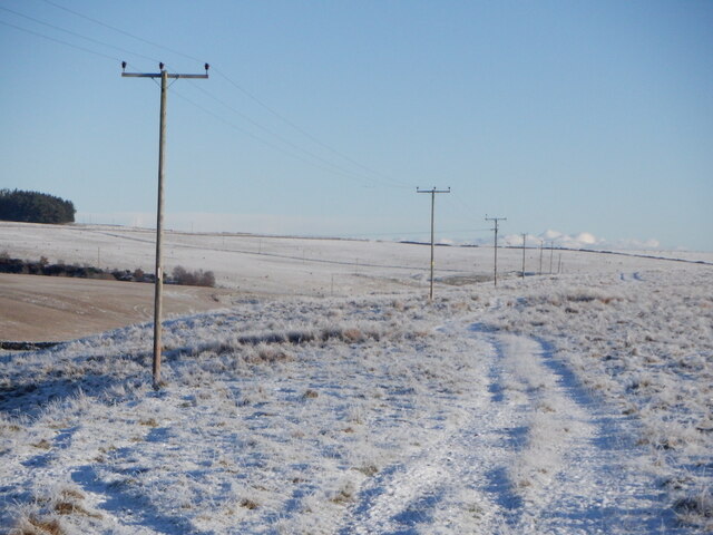
Visitors to Outbye Wood can enjoy a network of well-maintained walking trails that meander through the forest, offering stunning views of the surrounding countryside. Birdwatchers will delight in the opportunity to spot a variety of bird species, including woodpeckers, owls, and songbirds.

The tranquil atmosphere of Outbye Wood makes it an ideal spot for a peaceful retreat or a leisurely stroll in nature. Whether you're looking to relax and unwind or explore the natural beauty of Berwickshire, this enchanting woodland is sure to captivate and inspire all who visit.

If you have any feedback on the listing, please let us know in the comments section below.

Outbye Wood Images

Images are sourced within 2km of 55.740233/-2.546791 or Grid Reference NT6549. Thanks to Geograph Open Source API. All images are credited.

Log pile near Wedderlie One of several in the area.
Log pile near Wedderlie
One of several in the area.
Wedderlie farm sign With a fine black bull. The house is also a wedding venue.
Wedderlie farm sign
With a fine black bull. The house is also a wedding venue.
Good advice to sat. nav. dependants Sign at the junction of the road to Wedderlie farm with the B6456.
Good advice to sat. nav. dependants
Sign at the junction of the road to Wedderlie farm with the B6456.
Geese and gulls at Wedderlie Two of a small group of Greylag Geese in a pasture at Wedderlie. Part of a larger group further away, and a flock of disturbed gulls. At top left a large house is visible through the trees <a href="https://www.geograph.org.uk/photo/7338853">NT6450 : House in the trees, and a Greylag Goose</a>. I have not discovered its identity - it does not fit with pictures of Wedderlie House, but I can't think what else it could be.
Geese and gulls at Wedderlie
Two of a small group of Greylag Geese in a pasture at Wedderlie. Part of a larger group further away, and a flock of disturbed gulls. At top left a large house is visible through the trees NT6450 : House in the trees, and a Greylag Goose. I have not discovered its identity - it does not fit with pictures of Wedderlie House, but I can't think what else it could be.
House in the trees, and a Greylag Goose I have not been able to identify this house for certain. Wedderlie House is in the vicinity <a href="https://www.geograph.org.uk/photo/7338845">NT6450 : Geese and gulls at Wedderlie</a>, but I can't match the obvious rounded stair with images of Wedderlie. The goose is one of a small group grazing the grass.
House in the trees, and a Greylag Goose
I have not been able to identify this house for certain. Wedderlie House is in the vicinity NT6450 : Geese and gulls at Wedderlie, but I can't match the obvious rounded stair with images of Wedderlie. The goose is one of a small group grazing the grass.
Fields at Cammerlaws North of the B6456 and east of Westruther.
Fields at Cammerlaws
North of the B6456 and east of Westruther.
Grazing cattle at Cammerlaws With woodland beyond, mainly Birch.
Grazing cattle at Cammerlaws
With woodland beyond, mainly Birch.
Road to Cammerlaws farm A farm in the Lammermuir foothills, off the B6456.
Road to Cammerlaws farm
A farm in the Lammermuir foothills, off the B6456.
Timber harvest by the road to Wedderlie One of several log piles in the area.
Timber harvest by the road to Wedderlie
One of several log piles in the area.
Timber harvest by the road to Wedderlie One of several log piles in the area, with sunlit field beyond.
Timber harvest by the road to Wedderlie
One of several log piles in the area, with sunlit field beyond.
Farmland near Westruther Stubble north of the burn, rime covered rough grazing in the foreground.
Farmland near Westruther
Stubble north of the burn, rime covered rough grazing in the foreground.
Burn near Westruther As usual, not named by the Ordnance Survey, a headwater of the Blackadder Water. Along with the electric fences, quite a barrier.
Burn near Westruther
As usual, not named by the Ordnance Survey, a headwater of the Blackadder Water. Along with the electric fences, quite a barrier.
Fields near Cammerlaws
Power line on Harelaw Moor
Woodland, Hurdlaw
Woodland, Hurdlaw
Blackadder Water
Blackadder Water
Stubble, Hurd Law
Stubble, Hurd Law
Stubble and Evelaw Burn Arable land east of Westruther.
Stubble and Evelaw Burn
Arable land east of Westruther.
Show me another place!

Outbye Wood is located at Grid Ref: NT6549 (Lat: 55.740233, Lng: -2.546791)

Unitary Authority: The Scottish Borders

Police Authority: The Lothians and Scottish Borders

What 3 Words

///slicer.fillings.released. Near Lauder, Scottish Borders

Related Wikis

Blackadder Water

Blackadder Water () is a river in Berwickshire in the Scottish Borders area of Scotland, forming part of the River Tweed system. It reached 2.84m at Mouthbridge...
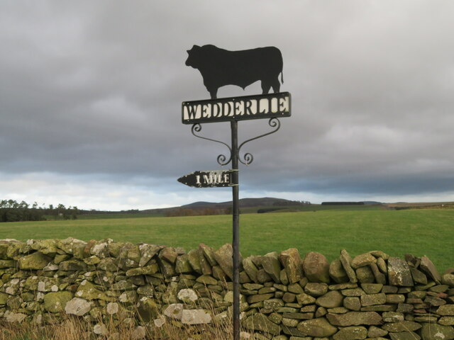
Westruther

Westruther is a village on the B6465, in the Scottish Borders area of Scotland, on the lower slopes of the Lammermuir Hills, in the former Berwickshire...

Bedshiel

Bedshiel is a village in the Scottish Borders area of Scotland on the B6456, six miles from Duns, two miles from Greenlaw, Longformacus and Westruther...

Berwickshire

Berwickshire (; Scottish Gaelic: Siorrachd Bhearaig) is a historic county, registration county and lieutenancy area in south-eastern Scotland, on the English...

Related Videos

07 - Wedderlie House Video Tour, Gordon, Scottish Borders

In this video we take you on a guided tour of the amazing Wedderlie House Wedding Venue, located just a short drive south of ...

Loch Lomond, When in Scotland…🏴󠁧󠁢󠁳󠁣󠁴󠁿🎶👰‍♀️🤵‍♂️#scottishwedding #lochlomond #runrig #shorts

Loch Lomond, when in Scotland right? Well this particular night we aso had a band out at another Scottish wedding in East ...

Stonemason and bricklayer show how to lay slabs PROPERLY.

As you can see in the video, we have some houses half built. These will be coming down and the residents in the houses were ...

Nearby Amenities

Located within 500m of 55.740233,-2.546791
Power: pole
Lat/Long: 55.7422086/-2.5536871
Power: pole
Lat/Long: 55.7422258/-2.5524324
Power: pole
Lat/Long: 55.7422444/-2.5511776
Power: pole
Lat/Long: 55.742412/-2.5498211
Power: pole
Lat/Long: 55.7425768/-2.5484519
Power: pole
Lat/Long: 55.7427502/-2.5470368
Power: pole
Lat/Long: 55.742912/-2.5456574
Power: pole
Lat/Long: 55.7430725/-2.5442932
Power: pole
Lat/Long: 55.743243/-2.5429316
Power: pole
Lat/Long: 55.743412/-2.5415547
Power: pole
Lat/Long: 55.7436135/-2.5470371
Power: pole
Lat/Long: 55.7443476/-2.5470523
The data included in this document is from www.openstreetmap.org. The data is made available under ODbL.

Have you been to Outbye Wood?

Leave your review of Outbye Wood below (or comments, questions and feedback).