Bents Plantation
Wood, Forest in Roxburghshire
Scotland
Bents Plantation
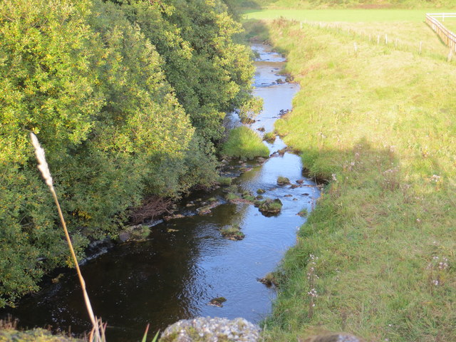
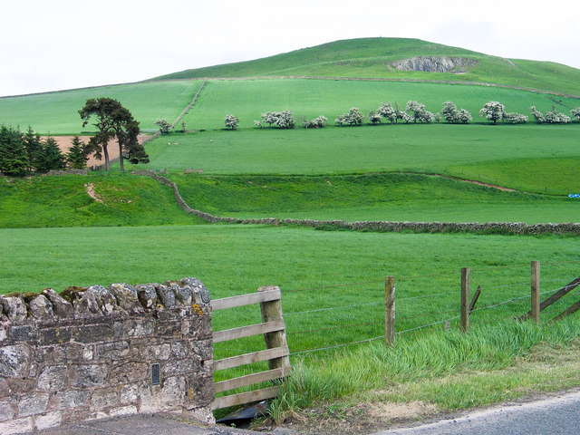
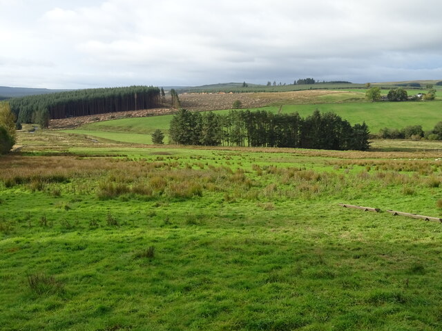
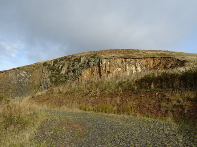
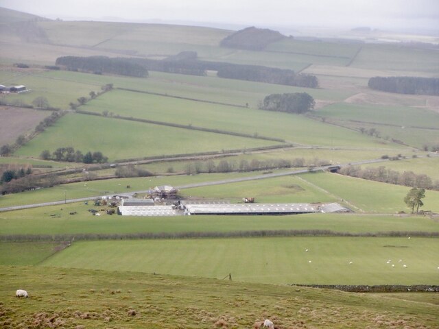
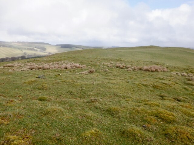
Bents Plantation, located in Roxburghshire, Scotland, is a stunning woodland area that spans over a vast expanse of land. This plantation is renowned for its diverse and rich forest ecosystem, featuring a variety of tree species and a thriving wildlife population.
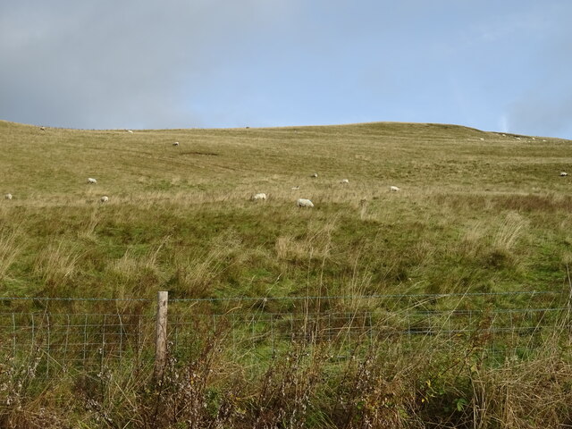
The plantation mainly consists of coniferous trees, such as Scots pine and Sitka spruce, which dominate the landscape. These tall and majestic trees create a dense canopy, providing shade and shelter for a plethora of plant and animal species. The forest floor is carpeted with a lush understory of ferns, mosses, and various wildflowers, adding to the beauty and biodiversity of the area.
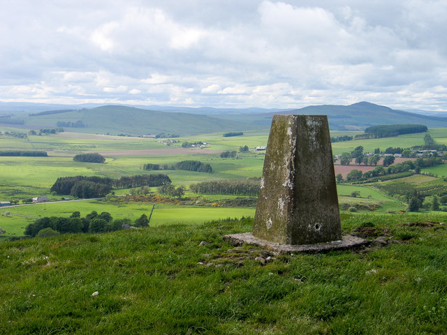
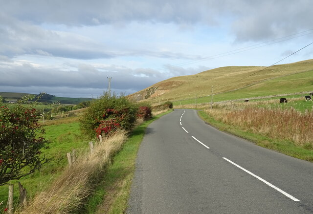
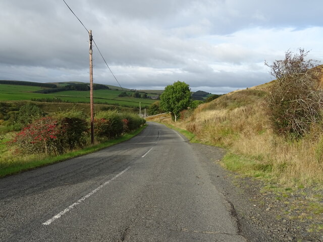
Bents Plantation is a popular destination for nature enthusiasts and hikers due to its extensive network of well-maintained trails that wind through the woodland. These trails offer visitors the opportunity to explore the natural wonders of the plantation, providing breathtaking views of the surrounding landscape and glimpses of the local wildlife.
The woodland is home to a wide range of animal species, including red squirrels, deer, and a variety of bird species, such as woodpeckers and owls. The diverse habitat provided by Bents Plantation supports a healthy and thriving wildlife population.
In addition to its natural beauty, Bents Plantation also plays a crucial role in carbon sequestration and environmental conservation. The trees in the plantation act as carbon sinks, absorbing and storing carbon dioxide from the atmosphere, contributing to the fight against climate change.
Overall, Bents Plantation in Roxburghshire is a remarkable woodland area that offers visitors a chance to immerse themselves in the beauty of nature, witness a variety of wildlife, and contribute to environmental preservation.
If you have any feedback on the listing, please let us know in the comments section below.
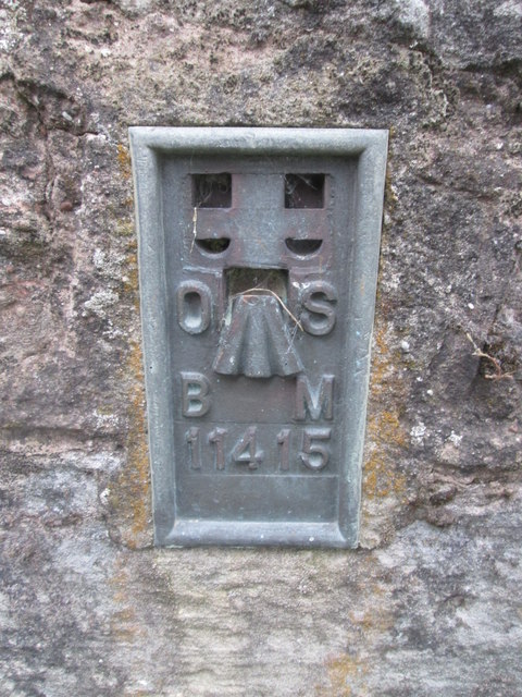
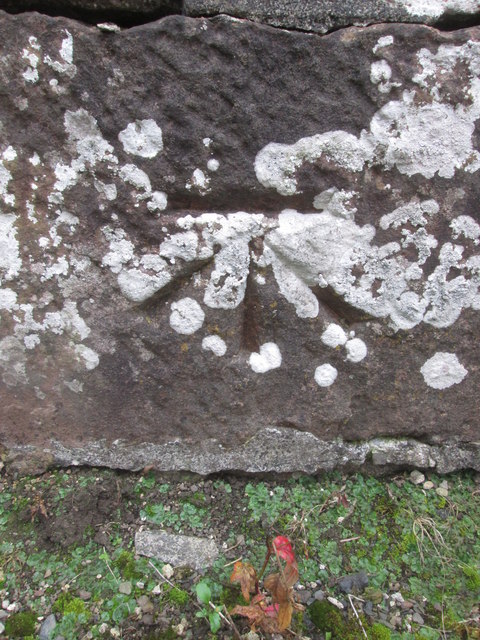
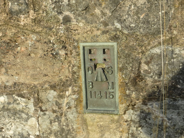
Bents Plantation Images
Images are sourced within 2km of 55.382985/-2.5901618 or Grid Reference NT6210. Thanks to Geograph Open Source API. All images are credited.
Bents Plantation is located at Grid Ref: NT6210 (Lat: 55.382985, Lng: -2.5901618)
Unitary Authority: The Scottish Borders
Police Authority: The Lothians and Scottish Borders
What 3 Words
///raking.profited.passenger. Near Jedburgh, Scottish Borders
Nearby Locations
Related Wikis

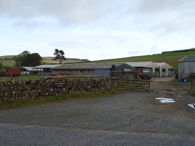
Southdean
Southdean is a hamlet in the Scottish Borders area of Scotland, on the A6088, by the Jed Water and in the Wauchope Forest area. Other settlements nearby...

Abbotrule
Abbotrule is a hamlet south of the B6357 road, in the Scottish Borders area of Scotland, on Rule Burn, east of the Rule Water. Places nearby include Bedrule...

Hobkirk
Hobkirk (Scottish Gaelic: Eaglais Ruail) is a village and civil parish in the Scottish Borders area of Scotland, by the Rule Water, south-west of Jedburgh...

Bonchester Bridge
Bonchester Bridge (Scots Binster Brig) is a village in Roxburghshire, within the Scottish Borders area of Scotland, lying on the Rule Water, six miles...
Nearby Amenities
Located within 500m of 55.382985,-2.5901618Have you been to Bents Plantation?
Leave your review of Bents Plantation below (or comments, questions and feedback).