Target Strip
Wood, Forest in Angus
Scotland
Target Strip
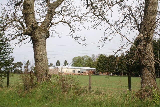
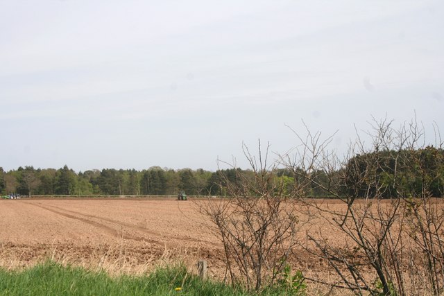
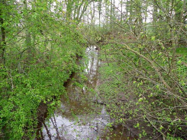
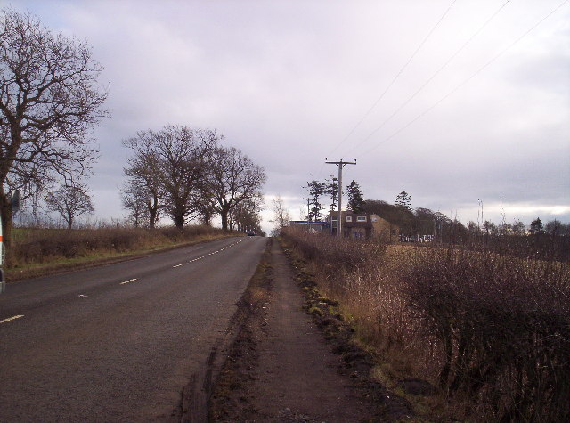
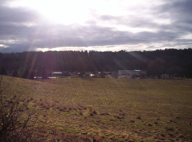
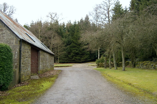
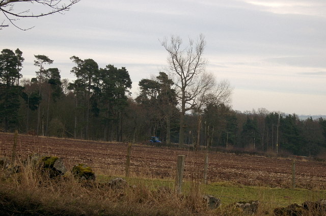
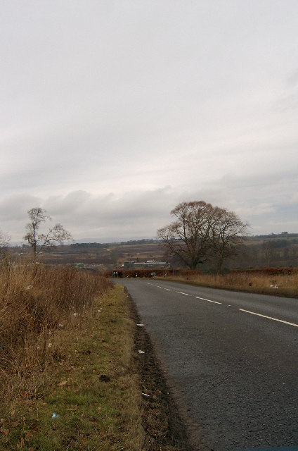
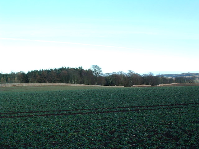
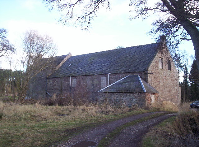
Target Strip, Angus (Wood, Forest) is a small woodland area located in the county of Angus, Scotland. Covering an approximate area of 20 acres, this strip of woodland is characterized by its diverse range of tree species and natural beauty.
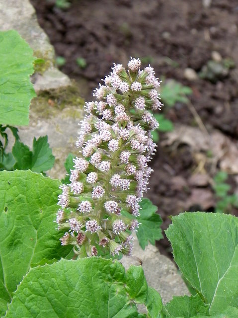
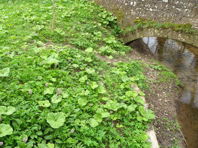
The wood is predominantly made up of native Scottish trees, including oak, birch, and rowan. These trees provide a rich habitat for a variety of wildlife, including birds, mammals, and insects. The woodland floor is covered with a lush carpet of ferns, mosses, and wildflowers, creating a vibrant and picturesque landscape.
Target Strip is a popular destination for nature enthusiasts, hikers, and photographers. The woodland offers several walking trails, ranging from easy strolls to more challenging hikes, allowing visitors to explore the area at their own pace. The well-maintained paths are suitable for all ages and offer breathtaking views of the surrounding countryside.
In addition to its natural beauty, Target Strip has historical significance. During World War II, the area was used as a training ground by the British military, hence the name "Target Strip." Today, remnants of old military structures, such as trenches and bunkers, can still be found within the woodland, serving as a reminder of its past.
Overall, Target Strip, Angus (Wood, Forest) is a charming woodland retreat that offers a tranquil escape from the hustle and bustle of everyday life. Its natural beauty, diverse wildlife, and historical significance make it a must-visit destination for nature lovers and history enthusiasts alike.
If you have any feedback on the listing, please let us know in the comments section below.
Target Strip Images
Images are sourced within 2km of 56.707181/-2.6107382 or Grid Reference NO6257. Thanks to Geograph Open Source API. All images are credited.

Target Strip is located at Grid Ref: NO6257 (Lat: 56.707181, Lng: -2.6107382)
Unitary Authority: Angus
Police Authority: Tayside
What 3 Words
///remodel.generally.friends. Near Brechin, Angus
Nearby Locations
Related Wikis

Kinnaird Castle, Brechin
Kinnaird Castle is a 15th-century castle near Brechin in Angus, Scotland. The castle has been home to the Carnegie family, the Earls of Southesk, for more...

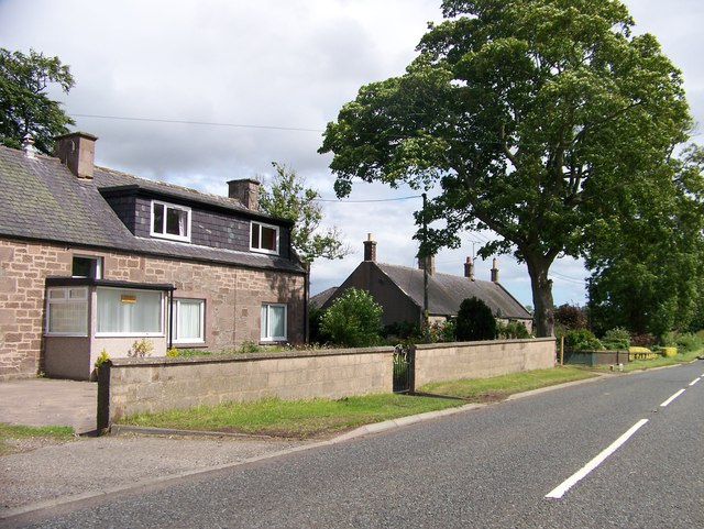
Farnell, Angus
Farnell is a village in Angus, Scotland. It lies 2 miles south of the River South Esk, between Brechin and Montrose, near Kinnaird Castle. == References ==

Farnell Road railway station
Farnell Road railway station served the village of Farnell, Angus, Scotland from 1848 to 1956 on the Aberdeen Railway. == History == The station opened...
Brechin Victoria F.C.
Brechin Victoria Junior Football Club are a Scottish Junior football club based in Brechin, Angus. Their home ground is Victoria Park. The club have recently...
Nearby Amenities
Located within 500m of 56.707181,-2.6107382Have you been to Target Strip?
Leave your review of Target Strip below (or comments, questions and feedback).