Chesters

Settlement in Roxburghshire

Scotland

Chesters

Ordnance Survey Flush Bracket (11415) This OS Flush Bracket can be found on the NE parapet of the bridge. It marks a point 205.637m above mean sea level.
Ordnance Survey Flush Bracket (11415) Credit: Adrian Dust

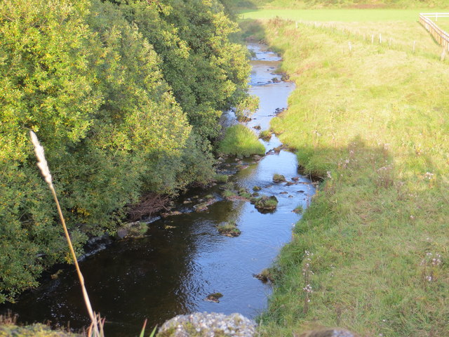
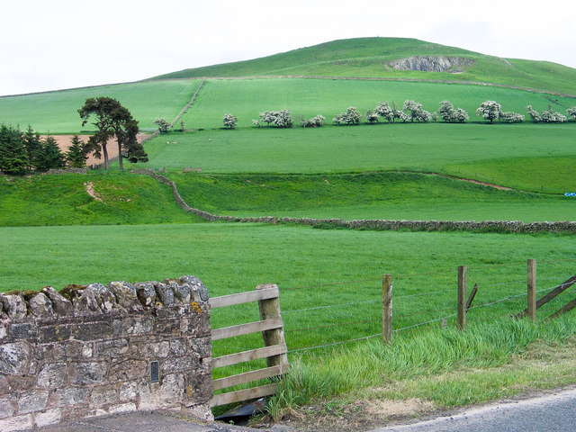
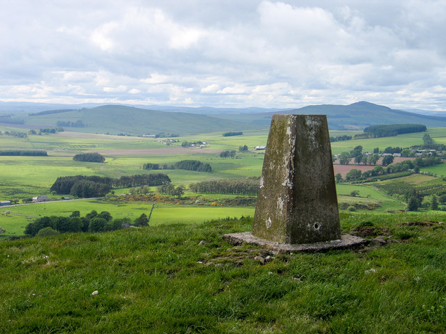
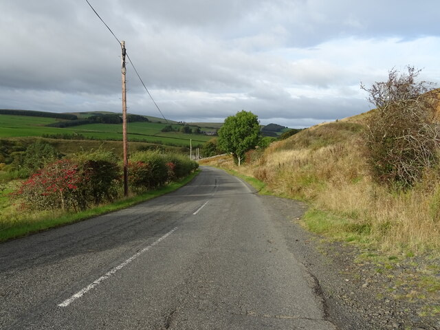
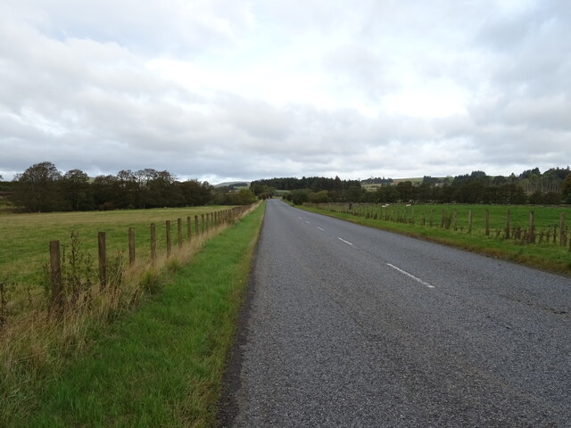
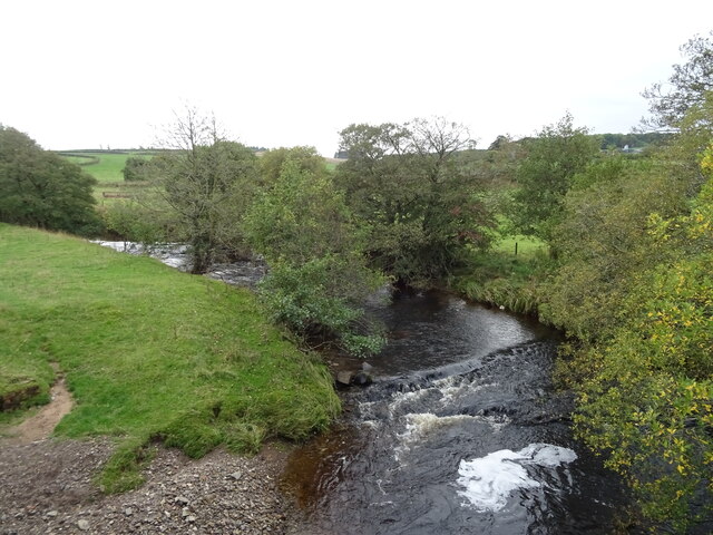
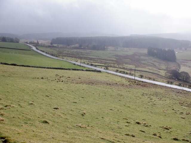
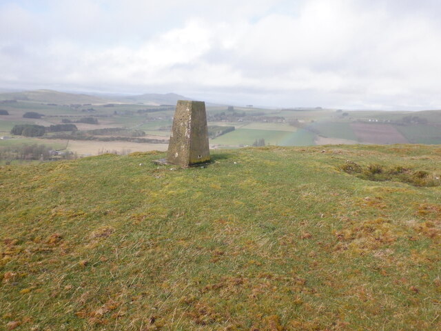
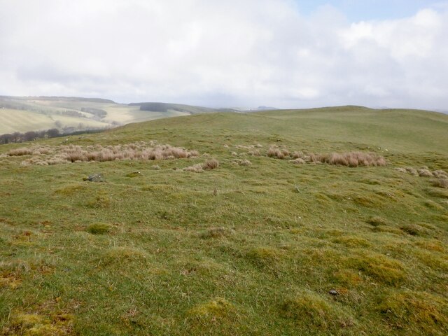
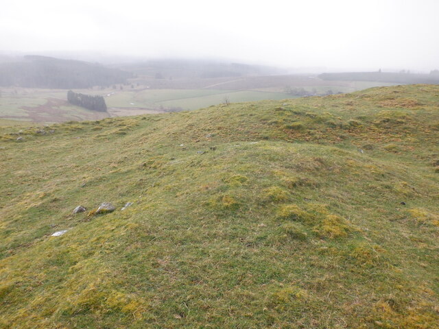
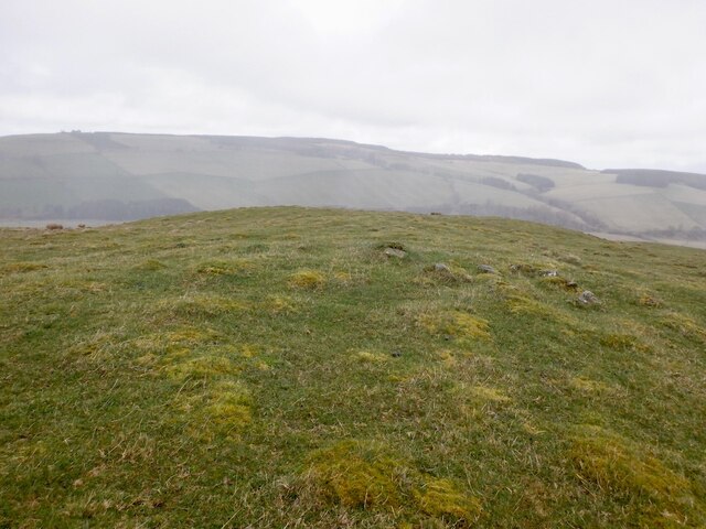
Chesters is a small village located in Roxburghshire, a historic county in the Scottish Borders region of Scotland. Situated on the eastern bank of the River Teviot, Chesters is nestled amidst picturesque rolling hills and lush green landscapes.

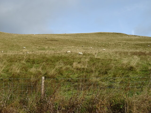
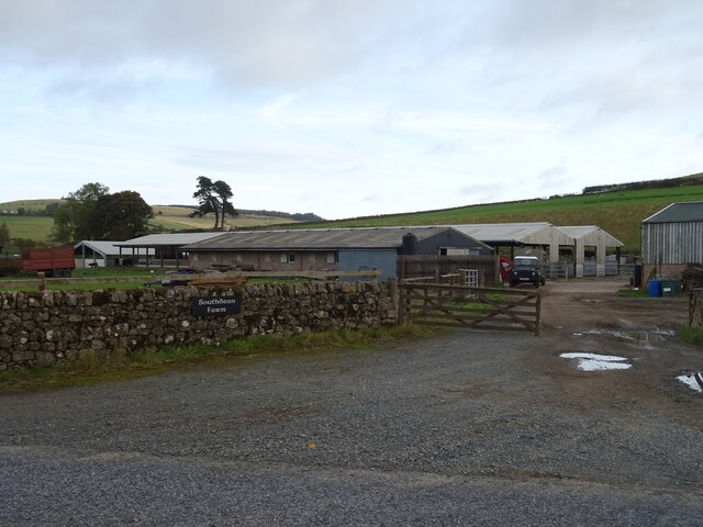
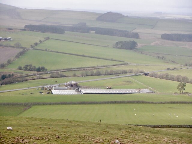
The village, which has a population of around 200 residents, is known for its scenic beauty and tranquil atmosphere. It boasts charming stone-built houses and buildings, many of which date back several centuries, adding to its historical charm. The village is surrounded by farmland, with agriculture playing a significant role in the local economy.

Chesters is home to a close-knit community that takes pride in its heritage and traditions. The village has a community hall that serves as a hub for social gatherings and events. Additionally, there is a local primary school that caters to the educational needs of the village's children.

Outdoor enthusiasts will find plenty to do in Chesters and its surrounding areas. The River Teviot offers opportunities for fishing, and the rolling hills and countryside provide ample space for walking, hiking, and cycling. The nearby Roxburghshire countryside is also known for its golf courses, offering enthusiasts a chance to enjoy a round or two amidst stunning scenery.

While Chesters does not have many commercial amenities, the village is within driving distance of larger towns such as Jedburgh and Hawick, where residents can access a wider range of services, including shops, supermarkets, and healthcare facilities.

In conclusion, Chesters is a picturesque village in Roxburghshire, Scotland, offering a tranquil and scenic setting for residents and visitors alike. Its rich history, beautiful landscapes, and sense of community make it a charming place to call home.

If you have any feedback on the listing, please let us know in the comments section below.
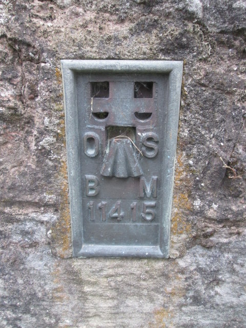
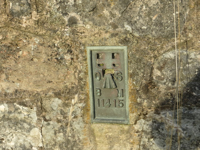
Chesters Images

Images are sourced within 2km of 55.388101/-2.587744 or Grid Reference NT6210. Thanks to Geograph Open Source API. All images are credited.

Ordnance Survey Flush Bracket (11415) This OS Flush Bracket can be found on the NE parapet of the bridge. It marks a point 205.637m above mean sea level.
Ordnance Survey Flush Bracket (11415)
This OS Flush Bracket can be found on the NE parapet of the bridge. It marks a point 205.637m above mean sea level.
Ordnance Survey Cut Mark This OS cut mark can be found on the old bridge over the Jed Water. It marks a point 192.063m above mean sea level.
Ordnance Survey Cut Mark
This OS cut mark can be found on the old bridge over the Jed Water. It marks a point 192.063m above mean sea level.
Ordnance Survey Flush Bracket 11415 This can be found on the road bridge over Jed Water at Southdean.
For more detail see : <span class="nowrap"><a title="http://www.bench-marks.org.uk/bm561" rel="nofollow ugc noopener" href="http://www.bench-marks.org.uk/bm561">Link</a><img style="margin-left:2px;" alt="External link" title="External link - shift click to open in new window" src="https://s1.geograph.org.uk/img/external.png" width="10" height="10"/></span>
Ordnance Survey Flush Bracket 11415
This can be found on the road bridge over Jed Water at Southdean. For more detail see : LinkExternal link
Jed Water from the A68 Road Bridge at Southdean Looking north-eastward.
Jed Water from the A68 Road Bridge at Southdean
Looking north-eastward.
Flush bracket on bridge parapet The parapet is of the bridge carrying the A6088 over the Jed Water; the flush bracket number is 11415.
Southdean Hill rises beyond.
Flush bracket on bridge parapet
The parapet is of the bridge carrying the A6088 over the Jed Water; the flush bracket number is 11415. Southdean Hill rises beyond.
Trig point on Southdean Law The trig point has flush bracket number S7689. Rubers Law is the dark hill above the pillar.
Trig point on Southdean Law
The trig point has flush bracket number S7689. Rubers Law is the dark hill above the pillar.
Hillside grazing, Southdean
Quarry, Southdean
Quarry, Southdean
A6088, Southdean  Towards Chesters.
A6088, Southdean
Towards Chesters.
Southdean Farm
Southdean Farm
A6088, Southdean Farm Towards Chesters.
A6088, Southdean Farm
Towards Chesters.
Jed Water, Southdean  From the bridge on the A6088.
Jed Water, Southdean
From the bridge on the A6088.
A6088 beneath Southdean Law
Southdean Law triangulation pillar
View over Southdean A house is under construction by the agricultural buildings.
View over Southdean
A house is under construction by the agricultural buildings.
Broken ground, Southdean Law Possibly associated with the hill fort.
Broken ground, Southdean Law
Possibly associated with the hill fort.
Rampart, Southdean Law
Summit, Southdean Law To the east of the hill fort.
Summit, Southdean Law
To the east of the hill fort.
Show me another place!

Chesters is located at Grid Ref: NT6210 (Lat: 55.388101, Lng: -2.587744)

Unitary Authority: The Scottish Borders

Police Authority: The Lothians and Scottish Borders

What 3 Words

///sidelined.earplugs.prowl. Near Jedburgh, Scottish Borders

Nearby Locations

Chesters Bents Plantation

Related Wikis

Southdean

Southdean is a hamlet in the Scottish Borders area of Scotland, on the A6088, by the Jed Water and in the Wauchope Forest area. Other settlements nearby...

Abbotrule

Abbotrule is a hamlet south of the B6357 road, in the Scottish Borders area of Scotland, on Rule Burn, east of the Rule Water. Places nearby include Bedrule...

Hobkirk

Hobkirk (Scottish Gaelic: Eaglais Ruail) is a village and civil parish in the Scottish Borders area of Scotland, by the Rule Water, south-west of Jedburgh...

Bonchester Bridge

Bonchester Bridge (Scots Binster Brig) is a village in Roxburghshire, within the Scottish Borders area of Scotland, lying on the Rule Water, six miles...

Nearby Amenities

Located within 500m of 55.388101,-2.587744
Bus: yes
Public Transport: stop_position
Lat/Long: 55.3879102/-2.5955732
Power: pole
Lat/Long: 55.3888367/-2.5801786
Power: pole
Lat/Long: 55.3886507/-2.5817209
Power: pole
Lat/Long: 55.3884714/-2.5832327
Power: pole
Lat/Long: 55.3882796/-2.5847411
Power: pole
Lat/Long: 55.3881138/-2.5861461
Power: pole
Lat/Long: 55.3879972/-2.5873338
Power: pole
Lat/Long: 55.3878796/-2.588457
Power: pole
Lat/Long: 55.3878218/-2.5895226
Power: pole
Lat/Long: 55.3877543/-2.5909597
Power: pole
Lat/Long: 55.387683/-2.5924002
Power: pole
Lat/Long: 55.3876175/-2.593722
Power: pole
Lat/Long: 55.3875317/-2.5953034
Bus Stop
War Memorial
Bus: yes
Naptan AtcoCode: 69001759
Naptan Bearing: E
Naptan CommonName: War Memorial
Naptan Indicator: opp
Naptan Landmark: War Memorial
Naptan NaptanCode: 72798542
Naptan Street: A6088
Operator: Scottish Borders Council
Public Transport: platform
Ref: 69001759
Source: NaPTAN
Lat/Long: 55.3878947/-2.5955755
The data included in this document is from www.openstreetmap.org. The data is made available under ODbL.

Have you been to Chesters?

Leave your review of Chesters below (or comments, questions and feedback).