Chesterton

Settlement in Staffordshire Newcastle-under-Lyme

England

Chesterton

Apedale Country Park
Apedale Country Park Credit: Jonathan Hutchins

Chesterton is a small village located in the county of Staffordshire, England. Situated about four miles northeast of the bustling town of Newcastle-under-Lyme, Chesterton is a peaceful and picturesque settlement with a rich history.

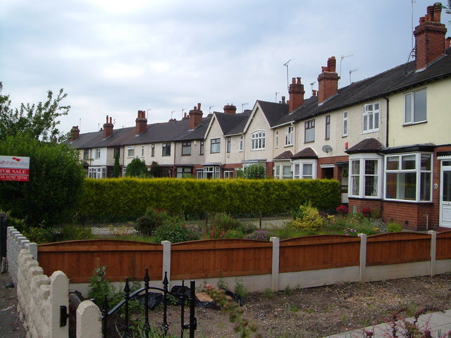
The village is known for its traditional English charm, with beautiful stone houses and quaint cottages lining the streets. It offers a close-knit community atmosphere, where residents take pride in maintaining the village's historical character. The centerpiece of Chesterton is its historic parish church, St. Chad's, which dates back to the 12th century. This stunning example of medieval architecture is a significant landmark in the area.

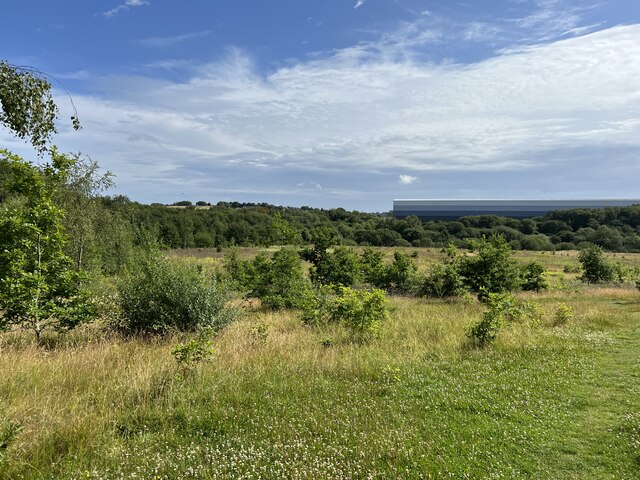
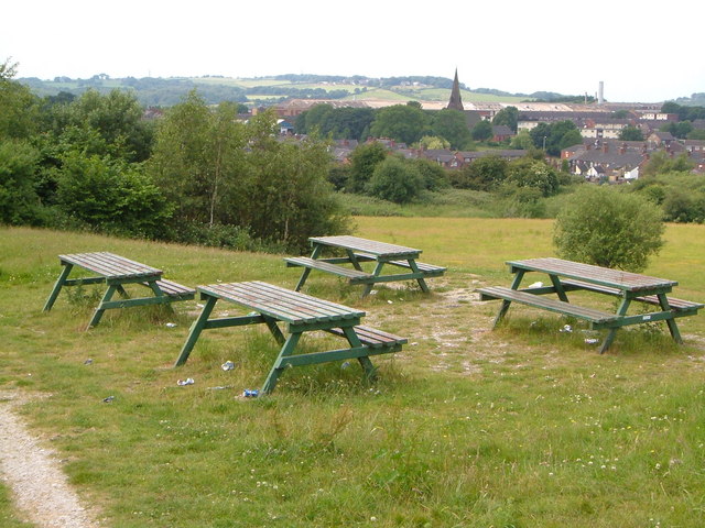
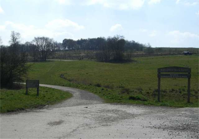
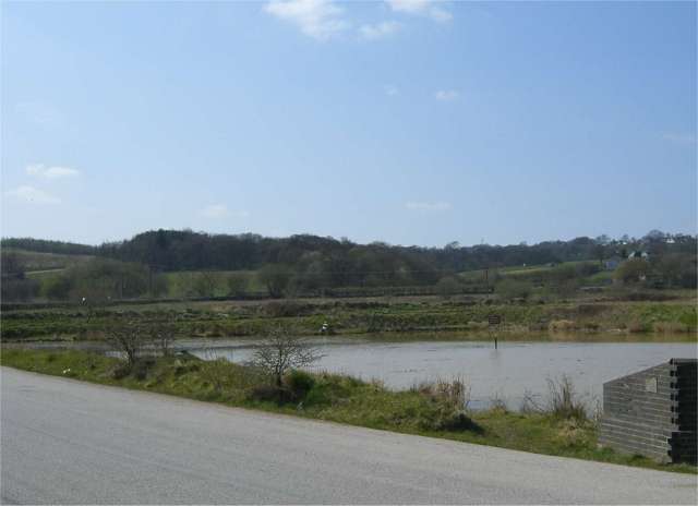
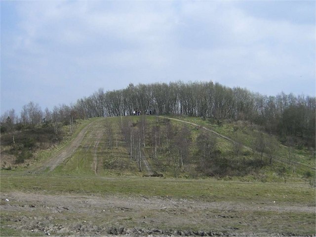
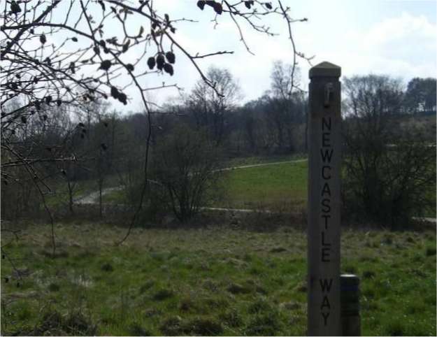
Surrounded by stunning countryside, Chesterton is ideal for nature enthusiasts and outdoor lovers. The village is in close proximity to the scenic countryside of the Staffordshire Moorlands, offering ample opportunities for hiking, cycling, and exploring the great outdoors. Additionally, the nearby Apedale Country Park provides a tranquil escape with its woodland trails, fishing lakes, and wildlife.

Despite its rural setting, Chesterton benefits from good transport links. The village is located near major road networks, making it easily accessible by car. Furthermore, the nearby Stoke-on-Trent railway station provides regular train services to major cities such as Manchester and London.

Overall, Chesterton is a charming and historic village that offers a peaceful and idyllic lifestyle. With its beautiful surroundings and strong community spirit, it is a desirable place to live for those seeking a quintessentially English countryside experience.

If you have any feedback on the listing, please let us know in the comments section below.
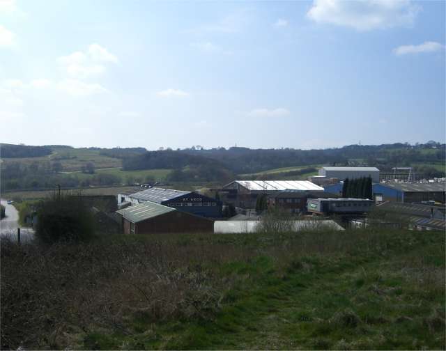
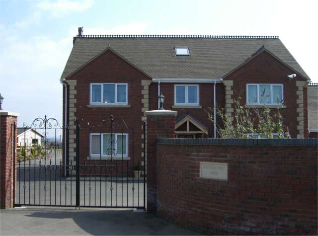
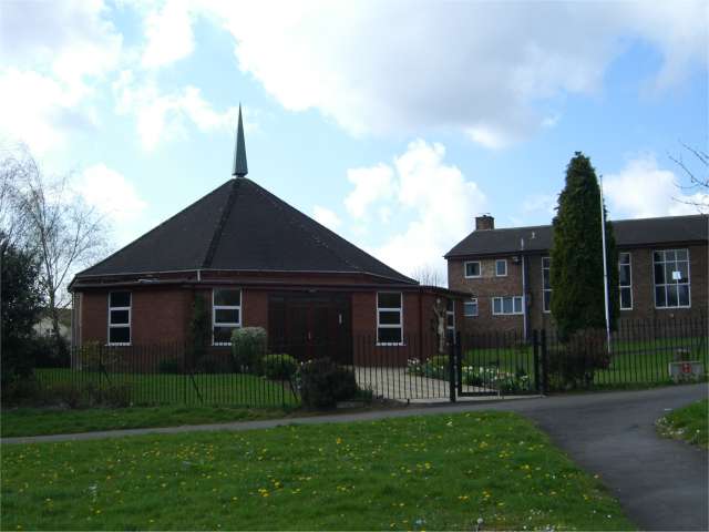
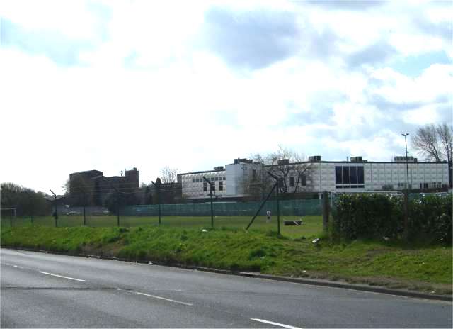
Chesterton Images

Images are sourced within 2km of 53.03997/-2.251276 or Grid Reference SJ8349. Thanks to Geograph Open Source API. All images are credited.

Apedale Country Park
Crescent, Dimsdale Parade East,  Wolstanton A curving terrace built in 1909 on a road mainly characterised by straight lines of houses. My father was born here, four years after the houses were built.
Crescent, Dimsdale Parade East, Wolstanton
A curving terrace built in 1909 on a road mainly characterised by straight lines of houses. My father was born here, four years after the houses were built.
Playground off Cheswardine Road, Bradwell On the edge of the Bradwell estate between Newcastle and Kidsgrove, by a footpath to Bradwell Wood.
Playground off Cheswardine Road, Bradwell
On the edge of the Bradwell estate between Newcastle and Kidsgrove, by a footpath to Bradwell Wood.
Picnic site near Chesterton Holy Trinity church in Chesterton is a landmark from this picnic site on open land between the Parkouse Industrial Estate and Beasley, north of Newcastle.
Picnic site near Chesterton
Holy Trinity church in Chesterton is a landmark from this picnic site on open land between the Parkouse Industrial Estate and Beasley, north of Newcastle.
Apedale Country Park near Newcastle under Lyme Pit head wheel and coal tub memorial to the miners of North Staffordshire.
Apedale Country Park near Newcastle under Lyme
Pit head wheel and coal tub memorial to the miners of North Staffordshire.
Apedale Country Park North eastern entrance to Apedale Country Park, off Apedale Road, Chesterton.
Apedale Country Park
North eastern entrance to Apedale Country Park, off Apedale Road, Chesterton.
Pond, Apedale Rd, Chesterton
Disused Tip One of many disused mining spoil tips in this area. This one is on private land but that doesn't seem to have stopped off-road bikers from tearing up a fair amount of the planting.
Disused Tip
One of many disused mining spoil tips in this area. This one is on private land but that doesn't seem to have stopped off-road bikers from tearing up a fair amount of the planting.
Newcastle Way Marker Post At the entrance to Apedale Country Park this post marks part of the route of the Newcastle Way a 25 mile walking route through much of the Borough of Newcastle under-Lyme linking the Staffordshire Way at Mow Cop in the north with the Shropshire Union Canal towpath at Market Drayton in the south.
Newcastle Way Marker Post
At the entrance to Apedale Country Park this post marks part of the route of the Newcastle Way a 25 mile walking route through much of the Borough of Newcastle under-Lyme linking the Staffordshire Way at Mow Cop in the north with the Shropshire Union Canal towpath at Market Drayton in the south.
Rowhurst Close Industrial Estate
Partridge Nest Farm No longer a working farm, there are still stables for a few horses.
Partridge Nest Farm
No longer a working farm, there are still stables for a few horses.
Knutton Cemetery
Knutton Cemetery
Newcastle Way at Apedale Country Park This is the entrance the car park off Black Bank Rd in the south east of Apedale Country Park. The Newcastle Way long distance walk passes through the park on its way from Mow Cop in the north to Market Drayton in the south.In the distance is Chesterton Industrial Area.
Newcastle Way at Apedale Country Park
This is the entrance the car park off Black Bank Rd in the south east of Apedale Country Park. The Newcastle Way long distance walk passes through the park on its way from Mow Cop in the north to Market Drayton in the south.In the distance is Chesterton Industrial Area.
View from Wood Lane View south from Wood Lane towards Apedale, visible on the top of the hill.
View from Wood Lane
View south from Wood Lane towards Apedale, visible on the top of the hill.
New Woodhouse Farm
New Woodhouse Farm
St John the Evangelist, Broad Meadow A rather small Catholic Church of unusual shape with, to the right, the much larger Parish Hall.
St John the Evangelist, Broad Meadow
A rather small Catholic Church of unusual shape with, to the right, the much larger Parish Hall.
Vodafone Building, Holditch
Holditch Industrial Estate
Show me another place!

Chesterton is located at Grid Ref: SJ8349 (Lat: 53.03997, Lng: -2.251276)

Administrative County: Staffordshire

District: Newcastle-under-Lyme

Police Authority: Staffordshire

What 3 Words

///frog.toxic.remain. Near Tunstall, Staffordshire

Related Wikis

Chesterton Community Sports College

Chesterton Community Sports College is a coeducational secondary school and specialist sports college located in the Chesterton area of Newcastle-under...

Chesterton, Staffordshire

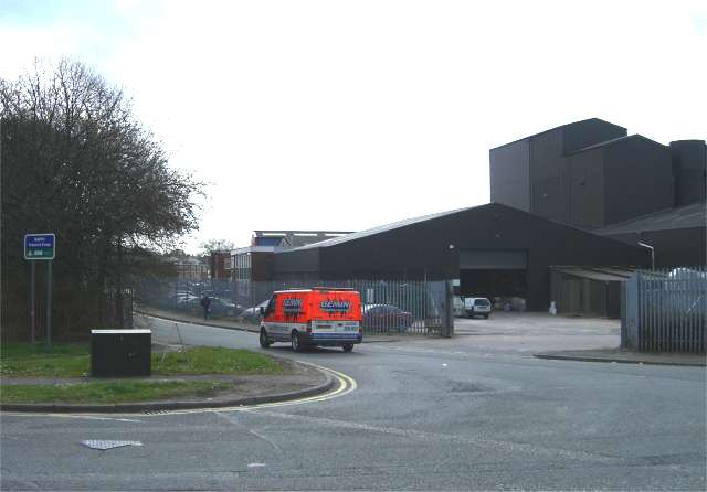
Chesterton is a former mining village on the edge of Newcastle-under-Lyme, in the Newcastle-under-Lyme district, in Staffordshire, England. Chesterton...

Wolstanton United Urban District

Wolstanton United Urban District was an urban district in the county of Staffordshire. It was formed in 1904 with the civil parishes of Chesterton, Silverdale...

Broad Meadow

Broad Meadow is a suburb of Newcastle-under-Lyme in Staffordshire, England.

Crackley

Crackley is an estate in the Borough of Newcastle-under-Lyme, Staffordshire. It is a former National Coal Board estate and lies on the edge of the larger...

Holditch (ward)

Holditch was a ward in the Borough of Newcastle-under-Lyme, in the county of Staffordshire, England. It covered the suburbs of Broad Meadow, and Beasley...

Holditch Colliery disaster

The Holditch Colliery disaster was a coal mining accident on 2 July 1937, in Chesterton, Staffordshire, England, in which 30 men died and eight were injured...

Loomer Road Stadium

Loomer Road Stadium is a former sports stadium situated in Chesterton, Staffordshire. The building had considerable parking facilities, covered terracing...

Nearby Amenities

Located within 500m of 53.03997,-2.251276
Bus Stop
The Hollows
Bench: no
Bin: no
Bus: yes
Lit: no
Naptan AtcoCode: 3800C501300
Naptan Bearing: S
Naptan CommonName: The Hollows
Naptan Indicator: Adj
Naptan Landmark: The Hollows
Naptan PlusbusZoneRef: STOKEOT
Naptan Street: London Road
Naptan Verified: no
Public Transport: platform
Shelter: yes
Source: naptan_import
Tactile Paving: no
Lat/Long: 53.0375399/-2.2479562
Bus Stop
Library
Bus: yes
Naptan AtcoCode: 3800C501301
Naptan Bearing: N
Naptan CommonName: Library
Naptan Indicator: Opp
Naptan Landmark: Chesterton Library
Naptan PlusbusZoneRef: STOKEOT
Naptan Street: London Road
Naptan Verified: no
Public Transport: platform
Source: naptan_import
Lat/Long: 53.0375754/-2.2481502
Bus Stop
Cross Street
Bus: yes
Naptan AtcoCode: 3800C518501
Naptan Bearing: SW
Naptan CommonName: Cross Street
Naptan Indicator: Opp
Naptan Street: Church Street
Naptan Verified: no
Public Transport: platform
Source: naptan_import
Lat/Long: 53.042438/-2.2527274
Bus Stop
Audley Road
Bus: yes
Naptan AtcoCode: 3800C518502
Naptan Bearing: NE
Naptan CommonName: Audley Road
Naptan Indicator: Adj
Naptan Street: Church Street
Naptan Verified: no
Public Transport: platform
Source: naptan_import
Lat/Long: 53.041717/-2.2536181
Bus Stop
Edensor Street
Bench: no
Bin: no
Bus: yes
Lit: no
Naptan AtcoCode: 3800C524601
Naptan Bearing: NW
Naptan CommonName: Edensor Street
Naptan Indicator: Opp
Naptan Landmark: Edensor Street
Naptan PlusbusZoneRef: STOKEOT
Naptan Street: London Road
Naptan Verified: no
Public Transport: platform
Shelter: no
Source: naptan_import
Tactile Paving: no
Lat/Long: 53.0421443/-2.2513385
Bus Stop
Edensor Street
Bus: yes
Naptan AtcoCode: 3800C524602
Naptan Bearing: SE
Naptan CommonName: Edensor Street
Naptan Indicator: Adj
Naptan Landmark: Edensor Street
Naptan PlusbusZoneRef: STOKEOT
Naptan Street: London Road
Naptan Verified: no
Public Transport: platform
Source: naptan_import
Lat/Long: 53.042351/-2.2513696
Bus Stop
Springfield Close
Bus: yes
Naptan AtcoCode: 3800C527101
Naptan Bearing: W
Naptan CommonName: Springfield Close
Naptan Indicator: Opp
Naptan Landmark: Springfield Close
Naptan PlusbusZoneRef: STOKEOT
Naptan Street: Wolstanton Rd
Naptan Verified: no
Public Transport: platform
Source: naptan_import
Lat/Long: 53.0368418/-2.2464608
Bus Stop
Springfield Close
Bus: yes
Naptan AtcoCode: 3800C527102
Naptan Bearing: E
Naptan CommonName: Springfield Close
Naptan Indicator: Adj
Naptan Landmark: Springfield Close
Naptan PlusbusZoneRef: STOKEOT
Naptan Street: Wolstanton Road
Naptan Verified: no
Public Transport: platform
Source: naptan_import
Lat/Long: 53.0369234/-2.2461183
Bus Stop
Brittain Avenue
Bus: yes
Naptan AtcoCode: 3800C527801
Naptan Bearing: SW
Naptan CommonName: Brittain Avenue
Naptan Indicator: Opp
Naptan Landmark: Brittain Avenue
Naptan PlusbusZoneRef: STOKEOT
Naptan Street: Beasley Avenue
Naptan Verified: no
Public Transport: platform
Source: naptan_import
Lat/Long: 53.0392011/-2.2444906
Bus Stop
Brittain Avenue
Bus: yes
Naptan AtcoCode: 3800C527802
Naptan Bearing: NE
Naptan CommonName: Brittain Avenue
Naptan Indicator: Adj
Naptan Landmark: Brittain Avenue
Naptan PlusbusZoneRef: STOKEOT
Naptan Street: Beasley Avenue
Naptan Verified: no
Public Transport: platform
Source: naptan_import
Lat/Long: 53.0395436/-2.2440601
Bus Stop
Cross Street
Bus: yes
Naptan AtcoCode: 3800C529301
Naptan Bearing: NW
Naptan BusStopType: CUS
Naptan CommonName: Cross Street
Naptan Indicator: Opp
Naptan Landmark: Cross St
Naptan PlusbusZoneRef: STOKEOT
Naptan Street: Audley Rd
Naptan Verified: no
Public Transport: platform
Source: naptan_import
Lat/Long: 53.0421893/-2.25553
Bus Stop
Cross Street
Bus: yes
Naptan AtcoCode: 3800C529302
Naptan Bearing: SE
Naptan BusStopType: CUS
Naptan CommonName: Cross Street
Naptan Indicator: Adj
Naptan Landmark: Cross St
Naptan PlusbusZoneRef: STOKEOT
Naptan Street: Audley Rd
Naptan Verified: no
Public Transport: platform
Source: naptan_import
Lat/Long: 53.0423422/-2.2554862
Bus Stop
Community Unit
Bench: no
Bin: no
Bus: yes
Lit: no
Naptan AtcoCode: 3800C529901
Naptan Bearing: S
Naptan CommonName: Community Unit
Naptan Indicator: Adj
Naptan Landmark: Community Unit
Naptan PlusbusZoneRef: STOKEOT
Naptan Street: Dragon Square
Naptan Verified: no
Public Transport: platform
Shelter: yes
Source: naptan_import
Tactile Paving: no
Lat/Long: 53.043428/-2.2522111
Bus Stop
Rosevale Court
Bus: yes
Naptan AtcoCode: 3800C529902
Naptan Bearing: N
Naptan CommonName: Rosevale Court
Naptan Indicator: Adj
Naptan Landmark: Rosevale Court
Naptan PlusbusZoneRef: STOKEOT
Naptan Street: Dragon Square
Naptan Verified: no
Public Transport: platform
Shelter: yes
Source: naptan_import
Lat/Long: 53.0435804/-2.2524059
Bus Stop
Albert Street
Bench: no
Bin: no
Bus: yes
Lit: no
Naptan AtcoCode: 3800C530201
Naptan Bearing: N
Naptan CommonName: Albert Street
Naptan Indicator: Adj
Naptan Landmark: Albert St
Naptan PlusbusZoneRef: STOKEOT
Naptan Street: London Rd
Naptan Verified: no
Public Transport: platform
Shelter: no
Source: naptan_import
Tactile Paving: no
Lat/Long: 53.0393451/-2.2487272
Bus Stop
Brittain Avenue
Bus: yes
Naptan AtcoCode: 3800C530202
Naptan Bearing: S
Naptan CommonName: Brittain Avenue
Naptan Indicator: Adj
Naptan Landmark: Brittain Avenue
Naptan PlusbusZoneRef: STOKEOT
Naptan Street: London Road
Naptan Verified: no
Public Transport: platform
Source: naptan_import
Lat/Long: 53.0399469/-2.2489543
Chesterton
Place: village
Lat/Long: 53.0409587/-2.2576918
Beasley
Place: hamlet
Lat/Long: 53.0408555/-2.2463836
Pharmacy
Well Pharmacy
Brand: Well Pharmacy
Brand Wikidata: Q7726524
Healthcare: pharmacy
Website: https://finder.well.co.uk/store/chesterton-21-23-london-road
Lat/Long: 53.0427785/-2.2516807
Turning Circle
Lat/Long: 53.0376239/-2.2454072
Turning Circle
Lat/Long: 53.0392129/-2.2462401
Turning Circle
Lat/Long: 53.039824/-2.2470787
Turning Circle
Lat/Long: 53.0403512/-2.2443812
Longstaff Cycles
Shop: bicycle
Lat/Long: 53.0388347/-2.2498721
Crossing
Lat/Long: 53.0359998/-2.2486416
Place Of Worship
Salvation Army
Addr City: Newcastle under Lyme
Addr Postcode: ST5 7AS
Addr Street: Brick Kiln Lane
Addr Suburb: Chesterton
Denomination: salvation_army
Email: chesterton@salvationarmy.org.uk
Fhrs Id: 93970
Phone: 01782 564 529
Religion: christian
Source Addr: FHRS Open Data
Website: https://www.salvationarmy.org.uk/chesterton
Lat/Long: 53.0425278/-2.2497514
Post Office
Chesterton Post Office
Brand: Post Office
Brand Wikidata: Q1783168
Check Date: 2023-09-27
Ref Pol Id: 136150
Lat/Long: 53.0416684/-2.2504704
Demolished Amenity: place_of_worship
Denomination: methodist
Religion: christian
Source: OS OpenData StreetView
Lat/Long: 53.0382208/-2.2484933
Generator Method: photovoltaic
Generator Output Electricity: yes
Generator Source: solar
Generator Type: solar_photovoltaic_panel
Location: roof
Power: generator
Lat/Long: 53.0423034/-2.2491386
Generator Method: photovoltaic
Generator Output Electricity: yes
Generator Source: solar
Generator Type: solar_photovoltaic_panel
Location: roof
Power: generator
Lat/Long: 53.0421247/-2.2488438
Generator Method: photovoltaic
Generator Output Electricity: yes
Generator Source: solar
Generator Type: solar_photovoltaic_panel
Location: roof
Power: generator
Lat/Long: 53.0416415/-2.2486151
Generator Method: photovoltaic
Generator Output Electricity: yes
Generator Source: solar
Generator Type: solar_photovoltaic_panel
Location: roof
Power: generator
Lat/Long: 53.0422188/-2.2488913
Generator Method: photovoltaic
Generator Output Electricity: yes
Generator Source: solar
Generator Type: solar_photovoltaic_panel
Location: roof
Power: generator
Lat/Long: 53.0419956/-2.2484943
Generator Method: photovoltaic
Generator Output Electricity: yes
Generator Source: solar
Generator Type: solar_photovoltaic_panel
Location: roof
Power: generator
Lat/Long: 53.0388565/-2.2498058
Generator Method: photovoltaic
Generator Output Electricity: yes
Generator Source: solar
Generator Type: solar_photovoltaic_panel
Location: roof
Power: generator
Lat/Long: 53.0420777/-2.2486144
Generator Method: photovoltaic
Generator Output Electricity: yes
Generator Source: solar
Generator Type: solar_photovoltaic_panel
Location: roof
Power: generator
Lat/Long: 53.0422578/-2.2491951
Generator Method: photovoltaic
Generator Output Electricity: yes
Generator Source: solar
Generator Type: solar_photovoltaic_panel
Location: roof
Power: generator
Lat/Long: 53.0420597/-2.2490755
Generator Method: photovoltaic
Generator Output Electricity: yes
Generator Source: solar
Generator Type: solar_photovoltaic_panel
Location: roof
Power: generator
Lat/Long: 53.0422579/-2.2489513
Generator Method: photovoltaic
Generator Output Electricity: yes
Generator Source: solar
Generator Type: solar_photovoltaic_panel
Location: roof
Power: generator
Lat/Long: 53.0422969/-2.2490174
Generator Method: photovoltaic
Generator Output Electricity: yes
Generator Source: solar
Generator Type: solar_photovoltaic_panel
Location: roof
Power: generator
Lat/Long: 53.0416022/-2.2485405
Generator Method: photovoltaic
Generator Output Electricity: yes
Generator Source: solar
Generator Type: solar_photovoltaic_panel
Location: roof
Power: generator
Lat/Long: 53.0421178/-2.2486882
Generator Method: photovoltaic
Generator Output Electricity: yes
Generator Source: solar
Generator Type: solar_photovoltaic_panel
Location: roof
Power: generator
Lat/Long: 53.0418071/-2.2481297
Generator Method: photovoltaic
Generator Output Electricity: yes
Generator Source: solar
Generator Type: solar_photovoltaic_panel
Location: roof
Power: generator
Lat/Long: 53.0417223/-2.2479606
Generator Method: photovoltaic
Generator Output Electricity: yes
Generator Source: solar
Generator Type: solar_photovoltaic_panel
Location: roof
Power: generator
Lat/Long: 53.0419343/-2.2484205
Generator Method: photovoltaic
Generator Output Electricity: yes
Generator Source: solar
Generator Type: solar_photovoltaic_panel
Location: roof
Power: generator
Lat/Long: 53.0418277/-2.2488701
Generator Method: photovoltaic
Generator Output Electricity: yes
Generator Source: solar
Generator Type: solar_photovoltaic_panel
Location: roof
Power: generator
Lat/Long: 53.0419135/-2.2482649
Generator Method: photovoltaic
Generator Output Electricity: yes
Generator Source: solar
Generator Type: solar_photovoltaic_panel
Location: roof
Power: generator
Lat/Long: 53.0421857/-2.2493343
Generator Method: photovoltaic
Generator Output Electricity: yes
Generator Source: solar
Generator Type: solar_photovoltaic_panel
Location: roof
Power: generator
Lat/Long: 53.041741/-2.2487383
Generator Method: photovoltaic
Generator Output Electricity: yes
Generator Source: solar
Generator Type: solar_photovoltaic_panel
Location: roof
Power: generator
Lat/Long: 53.0417878/-2.2487939
Generator Method: photovoltaic
Generator Output Electricity: yes
Generator Source: solar
Generator Type: solar_photovoltaic_panel
Location: roof
Power: generator
Lat/Long: 53.0418497/-2.2481849
Generator Method: photovoltaic
Generator Output Electricity: yes
Generator Source: solar
Generator Type: solar_photovoltaic_panel
Location: roof
Power: generator
Lat/Long: 53.0416867/-2.248674
Post Box
Lat/Long: 53.0359363/-2.2489131
Generator Method: photovoltaic
Generator Output Electricity: yes
Generator Source: solar
Generator Type: solar_photovoltaic_panel
Location: roof
Power: generator
Lat/Long: 53.0373135/-2.2513148
Generator Method: photovoltaic
Generator Output Electricity: yes
Generator Source: solar
Generator Type: solar_photovoltaic_panel
Location: roof
Power: generator
Lat/Long: 53.0389569/-2.250199
Generator Method: photovoltaic
Generator Output Electricity: yes
Generator Source: solar
Generator Type: solar_photovoltaic_panel
Location: roof
Power: generator
Lat/Long: 53.0375925/-2.2511163
Generator Method: photovoltaic
Generator Output Electricity: yes
Generator Source: solar
Generator Type: solar_photovoltaic_panel
Location: roof
Power: generator
Lat/Long: 53.0375522/-2.2510654
Generator Method: photovoltaic
Generator Output Electricity: yes
Generator Source: solar
Generator Type: solar_photovoltaic_panel
Location: roof
Power: generator
Lat/Long: 53.0382215/-2.2524226
Generator Method: photovoltaic
Generator Output Electricity: yes
Generator Source: solar
Generator Type: solar_photovoltaic_panel
Location: roof
Power: generator
Lat/Long: 53.0382666/-2.2523421
Generator Method: photovoltaic
Generator Output Electricity: yes
Generator Source: solar
Generator Type: solar_photovoltaic_panel
Location: roof
Power: generator
Lat/Long: 53.0375393/-2.2526211
Generator Method: photovoltaic
Generator Output Electricity: yes
Generator Source: solar
Generator Type: solar_photovoltaic_panel
Location: roof
Power: generator
Lat/Long: 53.0375102/-2.2526988
Generator Method: photovoltaic
Generator Output Electricity: yes
Generator Source: solar
Generator Type: solar_photovoltaic_panel
Location: roof
Power: generator
Lat/Long: 53.037836/-2.2529
Generator Method: photovoltaic
Generator Output Electricity: yes
Generator Source: solar
Generator Type: solar_photovoltaic_panel
Location: roof
Power: generator
Lat/Long: 53.0375457/-2.2537529
Generator Method: photovoltaic
Generator Output Electricity: yes
Generator Source: solar
Generator Type: solar_photovoltaic_panel
Location: roof
Power: generator
Lat/Long: 53.0374844/-2.2536403
Generator Method: photovoltaic
Generator Output Electricity: yes
Generator Source: solar
Generator Type: solar_photovoltaic_panel
Location: roof
Power: generator
Lat/Long: 53.0364587/-2.2518405
Generator Method: photovoltaic
Generator Output Electricity: yes
Generator Source: solar
Generator Type: solar_photovoltaic_panel
Location: roof
Power: generator
Lat/Long: 53.0363168/-2.2521517
Generator Method: photovoltaic
Generator Output Electricity: yes
Generator Source: solar
Generator Type: solar_photovoltaic_panel
Location: roof
Power: generator
Lat/Long: 53.0362732/-2.2522348
Generator Method: photovoltaic
Generator Output Electricity: yes
Generator Source: solar
Generator Type: solar_photovoltaic_panel
Location: roof
Power: generator
Lat/Long: 53.0362377/-2.2523341
Generator Method: photovoltaic
Generator Output Electricity: yes
Generator Source: solar
Generator Type: solar_photovoltaic_panel
Location: roof
Power: generator
Lat/Long: 53.0356732/-2.252267
Generator Method: photovoltaic
Generator Output Electricity: yes
Generator Source: solar
Generator Type: solar_photovoltaic_panel
Location: roof
Power: generator
Lat/Long: 53.0363926/-2.2526506
Generator Method: photovoltaic
Generator Output Electricity: yes
Generator Source: solar
Generator Type: solar_photovoltaic_panel
Location: roof
Power: generator
Lat/Long: 53.0363168/-2.2528303
Generator Method: photovoltaic
Generator Output Electricity: yes
Generator Source: solar
Generator Type: solar_photovoltaic_panel
Location: roof
Power: generator
Lat/Long: 53.03632/-2.2530073
Generator Method: photovoltaic
Generator Output Electricity: yes
Generator Source: solar
Generator Type: solar_photovoltaic_panel
Location: roof
Power: generator
Lat/Long: 53.0362829/-2.2531039
Generator Method: photovoltaic
Generator Output Electricity: yes
Generator Source: solar
Generator Type: solar_photovoltaic_panel
Location: roof
Power: generator
Lat/Long: 53.0361942/-2.2532728
Generator Method: photovoltaic
Generator Output Electricity: yes
Generator Source: solar
Generator Type: solar_photovoltaic_panel
Location: roof
Power: generator
Lat/Long: 53.0361103/-2.2535384
Generator Method: photovoltaic
Generator Output Electricity: yes
Generator Source: solar
Generator Type: solar_photovoltaic_panel
Location: roof
Power: generator
Lat/Long: 53.0360635/-2.2536242
Generator Method: photovoltaic
Generator Output Electricity: yes
Generator Source: solar
Generator Type: solar_photovoltaic_panel
Location: roof
Power: generator
Lat/Long: 53.0358797/-2.2538227
Social Facility
Newcastle (Staffs) Foodbank
Addr City: Newcastle-under-Lyme
Addr Housename: Unit 2 Brick Kiln Lane Parkhouse Industrial Estate West
Addr Postcode: ST5 7AS
Addr Street: Brick Kiln Lane
Email: info@newcastlestaffs.foodbank.org.uk
Network: Trussell Trust
Parliamentary Constituency: Newcastle-under-Lyme
Phone: 07519159061
Social Facility: food_bank
Social Facility For: underprivileged
Source: give_food
Url: https://www.givefood.org.uk/needs/at/newcastle-staffs/
Lat/Long: 53.0437255/-2.2482839
Chesterton War Memorial
Historic: memorial
Memorial: war_memorial
Memorial Conflict: WW1;WW2
Lat/Long: 53.0407163/-2.2515359
Post Box
Operator: Royal Mail
Operator Wikidata: Q638098
Post Box Type: pillar
Royal Cypher: EIIR
Royal Cypher Wikidata: Q33102113
Lat/Long: 53.0410947/-2.2518066
Waste Basket
Colour: Black
Lat/Long: 53.0409606/-2.2524841
Barrier: bollard
Lat/Long: 53.0433345/-2.2559879
Traffic Signals
Traffic Signals: signal
Traffic Signals Direction: forward
Lat/Long: 53.0414927/-2.2508237
Traffic Signals
Traffic Signals: signal
Traffic Signals Direction: forward
Lat/Long: 53.0417832/-2.2505357
Traffic Signals
Traffic Signals: signal
Traffic Signals Direction: backward
Lat/Long: 53.0417798/-2.2508078
Traffic Signals
Traffic Signals: signal
Traffic Signals Direction: forward
Lat/Long: 53.0414712/-2.2504646
Direction: forward
Traffic Calming: hump
Lat/Long: 53.0414993/-2.2508057
Direction: forward
Traffic Calming: hump
Lat/Long: 53.0414838/-2.250478
Direction: backward
Traffic Calming: hump
Lat/Long: 53.0417697/-2.2507966
Direction: forward
Traffic Calming: hump
Lat/Long: 53.0417762/-2.2505509
The data included in this document is from www.openstreetmap.org. The data is made available under ODbL.

Have you been to Chesterton?

Leave your review of Chesterton below (or comments, questions and feedback).