Beasley
Settlement in Staffordshire Newcastle-under-Lyme
England
Beasley
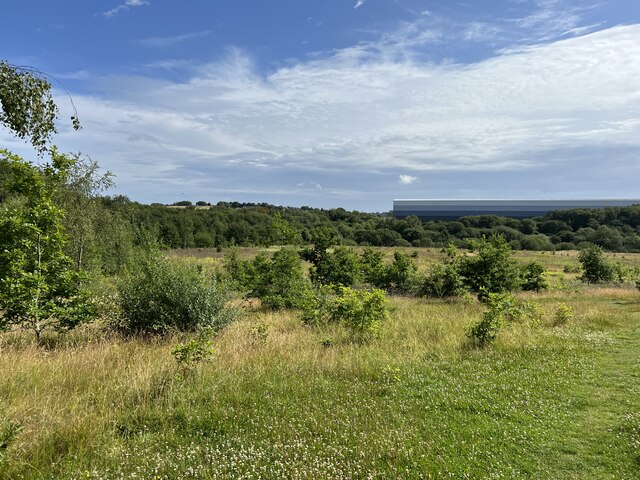
Beasley is a small village located in the county of Staffordshire, England. It is situated approximately 5 miles south of the town of Stafford and is part of the Stafford Borough Council. The village is surrounded by picturesque countryside, with rolling hills and farmland, providing a tranquil and idyllic setting.
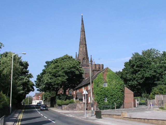
Beasley has a rich history dating back many centuries. It was mentioned in the Domesday Book of 1086 and has had a number of notable landmarks throughout its existence. One of the most prominent features of the village is St. Leonard's Church, a medieval place of worship that dates back to the 12th century. The church is renowned for its stunning architecture and is an important historical and cultural site within the community.
Despite its small size, Beasley is a close-knit community with a population of around 500 residents. The village has a friendly and welcoming atmosphere, where neighbors often come together for various events and activities. There are also a few local amenities, including a village hall and a traditional pub, providing a sense of community and meeting places for locals.
Beasley offers a peaceful rural lifestyle, away from the hustle and bustle of larger towns and cities. It is an ideal place for those seeking a quieter and more relaxed pace of life, while still being within easy reach of amenities and transportation links. With its beautiful surroundings and historical significance, Beasley is a charming village that continues to attract residents and visitors alike.
If you have any feedback on the listing, please let us know in the comments section below.
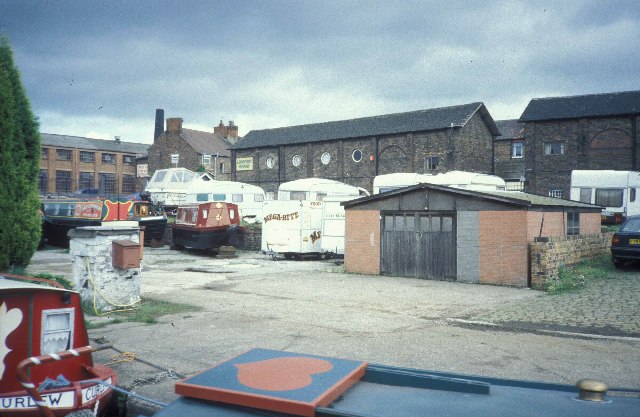
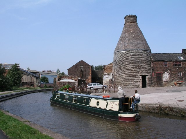
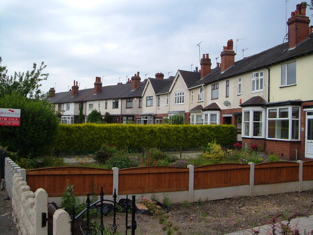
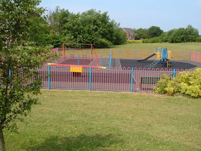
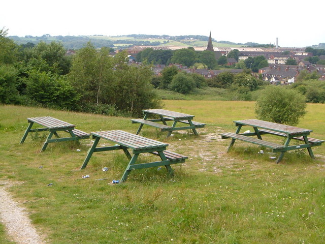
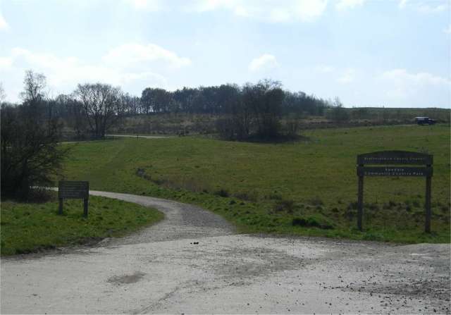
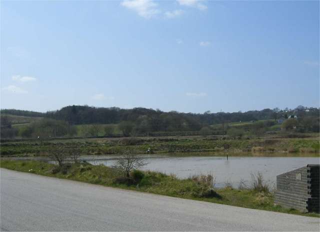
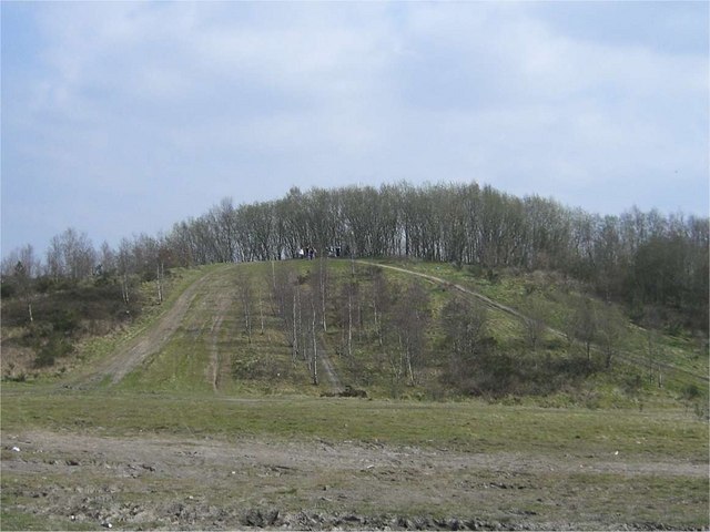
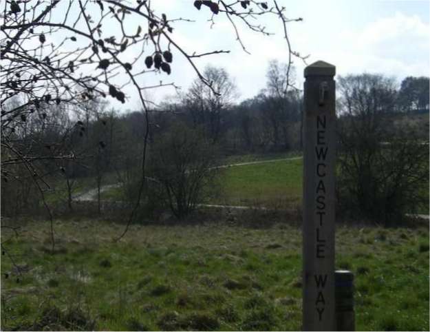
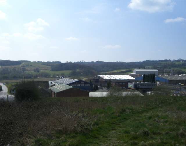
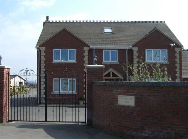
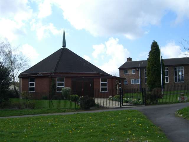
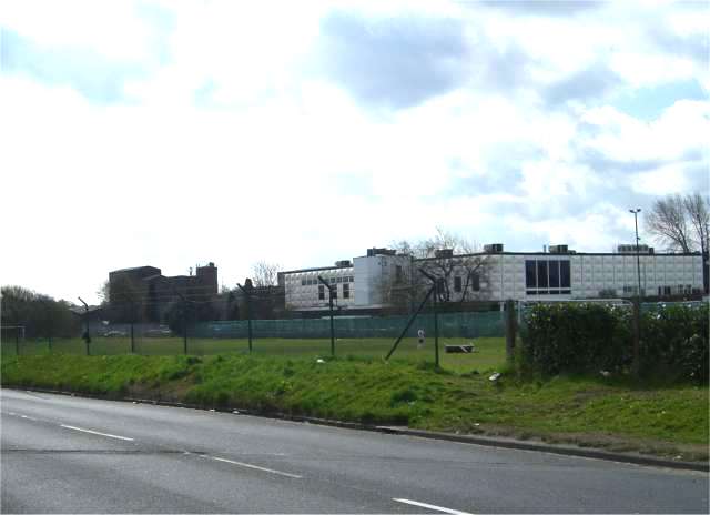
Beasley Images
Images are sourced within 2km of 53.038992/-2.246051 or Grid Reference SJ8349. Thanks to Geograph Open Source API. All images are credited.


Beasley is located at Grid Ref: SJ8349 (Lat: 53.038992, Lng: -2.246051)
Administrative County: Staffordshire
District: Newcastle-under-Lyme
Police Authority: Staffordshire
What 3 Words
///factor.pace.herb. Near Tunstall, Staffordshire
Nearby Locations
Related Wikis

Wolstanton United Urban District
Wolstanton United Urban District was an urban district in the county of Staffordshire. It was formed in 1904 with the civil parishes of Chesterton, Silverdale...

Chesterton, Staffordshire
Chesterton is a former mining village on the edge of Newcastle-under-Lyme, in the Newcastle-under-Lyme district, in Staffordshire, England. Chesterton...
Chesterton Community Sports College
Chesterton Community Sports College is a coeducational secondary school and specialist sports college located in the Chesterton area of Newcastle-under...
Broad Meadow
Broad Meadow is a suburb of Newcastle-under-Lyme in Staffordshire, England.
Holditch Colliery disaster
The Holditch Colliery disaster was a coal mining accident on 2 July 1937, in Chesterton, Staffordshire, England, in which 30 men died and eight were injured...
Holditch (ward)
Holditch was a ward in the Borough of Newcastle-under-Lyme, in the county of Staffordshire, England. It covered the suburbs of Broad Meadow, and Beasley...
Bradwell, Staffordshire
Bradwell is a suburb and council ward in the Borough of Newcastle-under-Lyme in Staffordshire. According to the 2001 Census, it had a population of 6...
Crackley
Crackley is an estate in the Borough of Newcastle-under-Lyme, Staffordshire. It is a former National Coal Board estate and lies on the edge of the larger...
Related Videos

Walking along Hadrians Way Segedunum to Newburn 20.8km
Hadrians Way altogether 84 miles (135km), we are going to walk on it in 2-3 months time divided 8-10 times during the Covid 19 ...

Wedgwood Monument hike and walk, Red Street, Stoke on Trent Staffordshire
So today we walk from Jamage Farm to the Wedgwood monument.
Apedale Country Park Staffordshire
A walk around Apedale country park , Its Jan 31st 2020 and its cold.
Nearby Amenities
Located within 500m of 53.038992,-2.246051Have you been to Beasley?
Leave your review of Beasley below (or comments, questions and feedback).