Beathwaite Green

Settlement in Westmorland South Lakeland

England

Beathwaite Green

Topiary gardens at Levens Hall in 1975
Topiary gardens at Levens Hall in 1975 Credit: Clint Mann

Beathwaite Green is a picturesque village located in the district of Westmorland, Cumbria, in the northwestern part of England. Nestled amidst the stunning Lake District National Park, this rural settlement offers a serene and idyllic setting, surrounded by a breathtaking landscape.

The village is characterized by its traditional stone-built cottages, which give it a charming and timeless feel. The local community is small but tight-knit, with a population of approximately 100 residents. Beathwaite Green is renowned for its friendly and welcoming atmosphere, making it an inviting place for both visitors and residents alike.

The village is surrounded by lush green fields and rolling hills, providing ample opportunities for outdoor activities such as hiking, walking, and cycling. The nearby Lake Windermere, England's largest natural lake, is a popular destination for water sports enthusiasts and nature lovers.

Despite its rural location, Beathwaite Green benefits from good transport links. The village is conveniently situated close to major road networks, connecting it to nearby towns and cities. The regional center of Kendal is just a short drive away, offering a wider range of amenities including shops, restaurants, and cultural attractions.

For those seeking a peaceful and tranquil lifestyle, Beathwaite Green provides a perfect escape from the hustle and bustle of city living. Its stunning scenery, friendly community, and proximity to the Lake District National Park make it a desirable place to live or visit for anyone seeking a slice of rural charm in the heart of Westmorland.

If you have any feedback on the listing, please let us know in the comments section below.

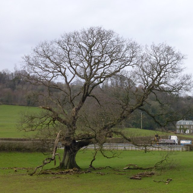
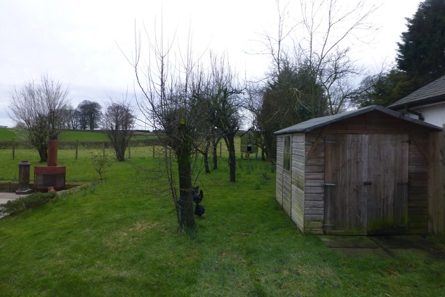
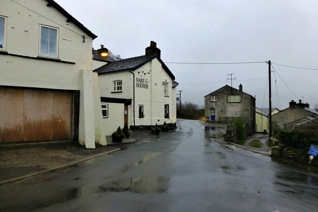
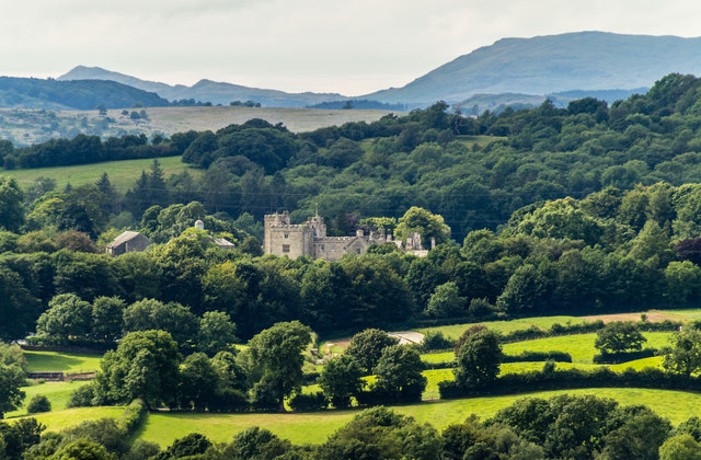
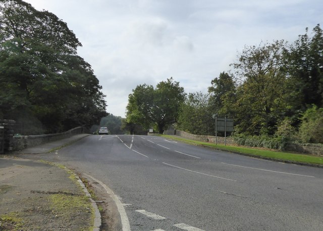
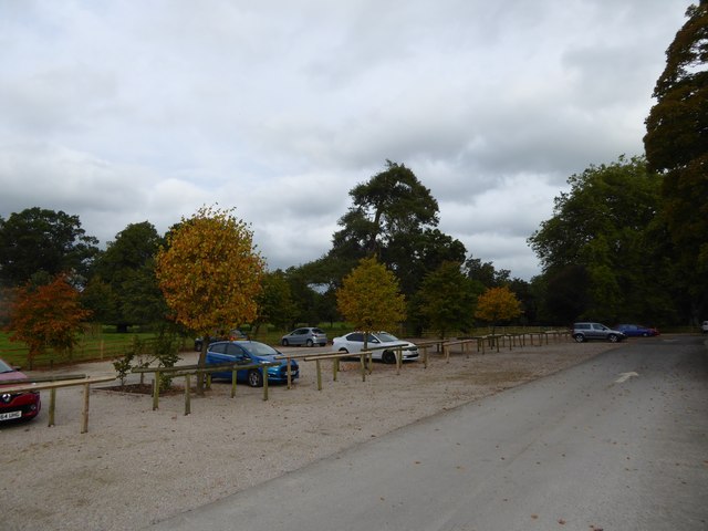
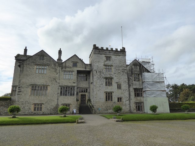
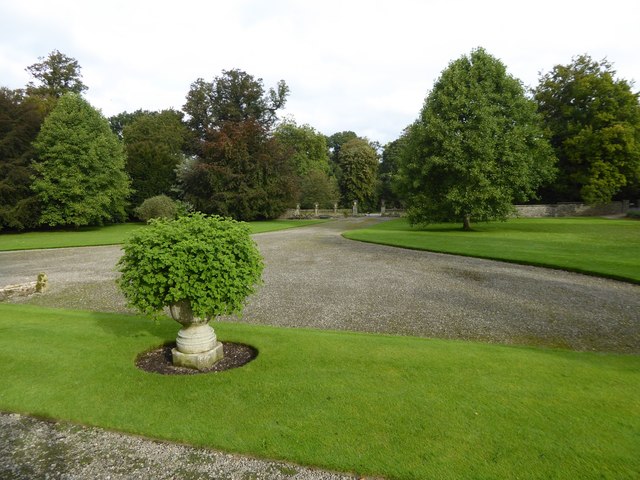
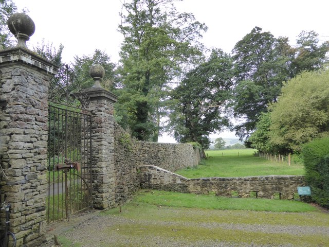
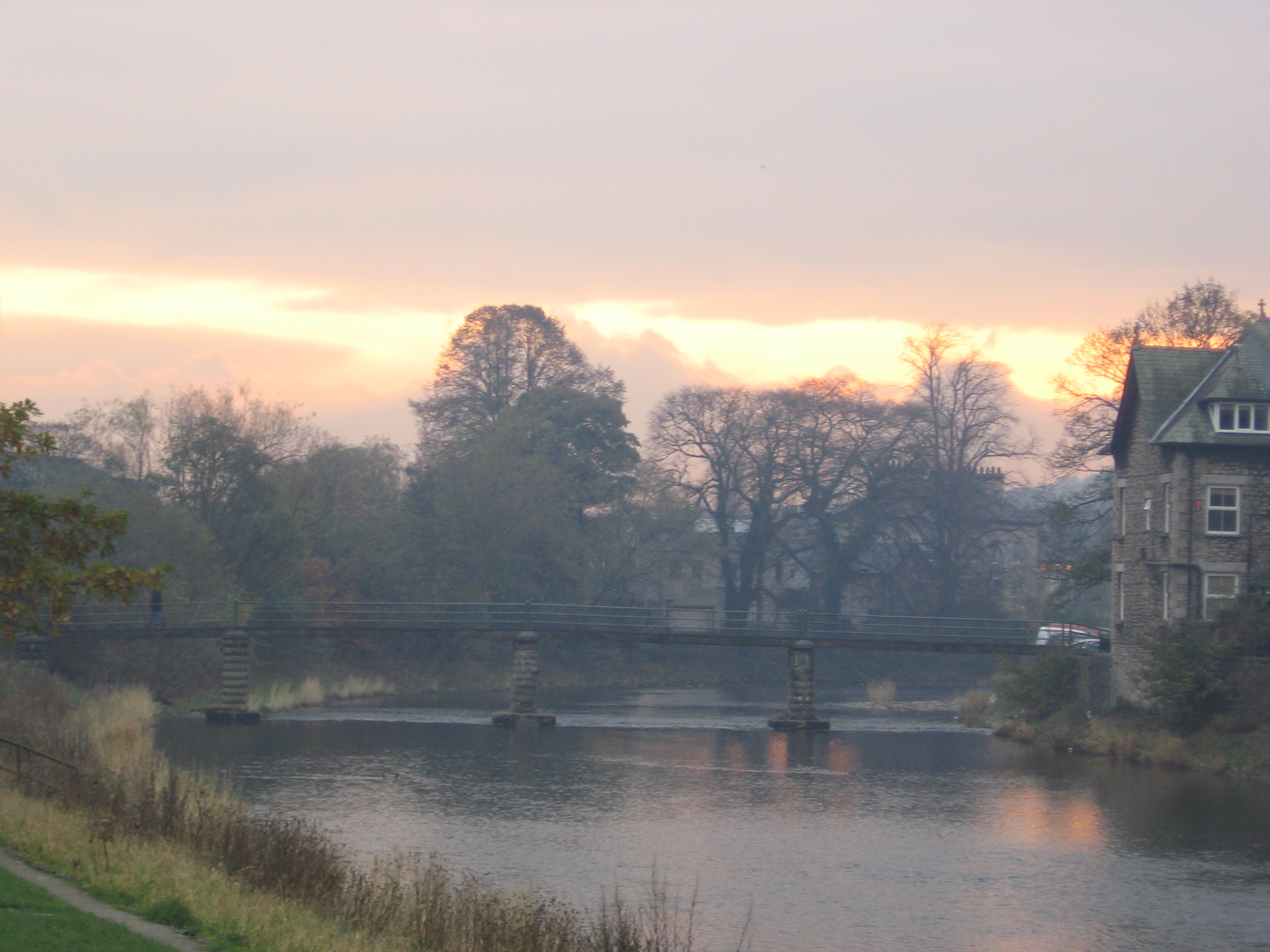
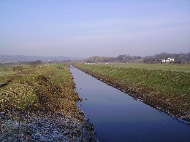
Beathwaite Green Images

Images are sourced within 2km of 54.267/-2.7998964 or Grid Reference SD4886. Thanks to Geograph Open Source API. All images are credited.

Topiary gardens at Levens Hall in 1975
Flooded footpath, Levens Bridge The swollen River Kent has overflowed the public footpath which runs up the north bank. Autumn gales have largely stripped the trees in Levens Park of their leaves.
Flooded footpath, Levens Bridge
The swollen River Kent has overflowed the public footpath which runs up the north bank. Autumn gales have largely stripped the trees in Levens Park of their leaves.
Levens Hall Gardens
Levens Hall Gardens
Path and trees Beside the A6 near Levens.
Path and trees
Beside the A6 near Levens.
Disintegrating tree In a field sandwiched between the A6 (from where this was taken) and the A590 running through the middle distance.  I think it's an ash.
Disintegrating tree
In a field sandwiched between the A6 (from where this was taken) and the A590 running through the middle distance. I think it's an ash.
Garden with hen house and shed This is at Two Acres Guest House.  Not so much a garden as a fenced-off section of a field.  Nice though as were the eggs for breakfast!
Garden with hen house and shed
This is at Two Acres Guest House. Not so much a garden as a fenced-off section of a field. Nice though as were the eggs for breakfast!
The Hare and Hounds Typical of a village pub that has survived this is more of a restaurant than a pub now.  I'd had a very pleasant meal here the previous evening and had had to return in order to retrieve my camera, which I'd left behind.
The Hare and Hounds
Typical of a village pub that has survived this is more of a restaurant than a pub now. I'd had a very pleasant meal here the previous evening and had had to return in order to retrieve my camera, which I'd left behind.
Levens Hall View of Levens Hall.
Levens Hall
View of Levens Hall.
Levens Bridge over River Kent A grade II listed structure, probably dating from the 17th century but extensively adapted for traffic
Levens Bridge over River Kent
A grade II listed structure, probably dating from the 17th century but extensively adapted for traffic
Car park for visitors to Levens Hall
Levens Hall
Levens Hall
Approach to Levens Hall from the north
Topiary in the garden at Levens Hall
Shaping one of the topiary trees at Levens Hall
Children's corner, the garden of Levens Hall An educational building, and picnic area, with playground close by
Children's corner, the garden of Levens Hall
An educational building, and picnic area, with playground close by
Play area, the garden of Levens Hall
Willow maze, Levens Hall gardens
Garden wall, Levens Hall The wall and gate are at the southern end of a path through the garden
Garden wall, Levens Hall
The wall and gate are at the southern end of a path through the garden
Show me another place!

Beathwaite Green is located at Grid Ref: SD4886 (Lat: 54.267, Lng: -2.7998964)

Administrative County: Cumbria

District: South Lakeland

Police Authority: Cumbria

What 3 Words

///dawn.thatched.romance. Near Milnthorpe, Cumbria

Related Wikis

Levens, Cumbria

Levens is a village and civil parish in Westmorland and Furness, Cumbria. It lies within the historic county of Westmorland. In the 2001 census the parish...

Causeway End

Causeway End is a hamlet in Cumbria, England.

Cotes, Cumbria

Cotes is a hamlet in Cumbria, England. == References ==
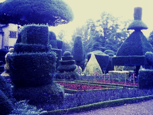
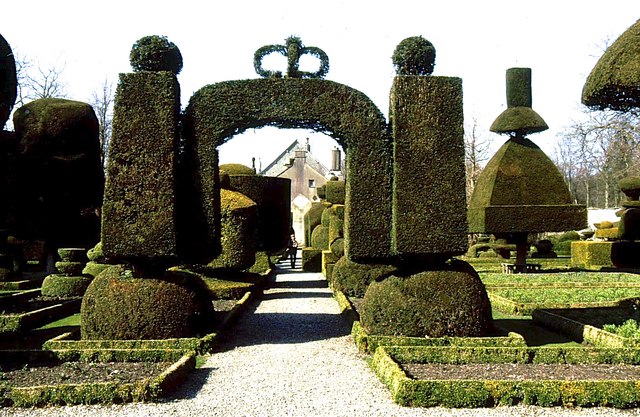
Levens Hall

Levens Hall is a manor house in the Kent valley, near the village of Levens and 5 miles (9 km) south of Kendal in Cumbria, Northern England. == History... ==
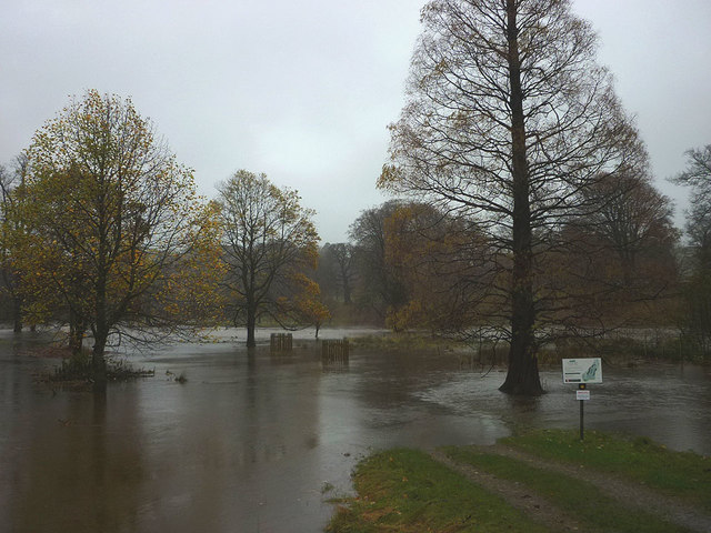
River Gilpin

The River Gilpin is a river in the English county of Cumbria. Formerly, the river was in the county of Westmorland. The river rises near Gilpin Lodge in...

River Kent

The River Kent is a short river in the county of Cumbria in England. It originates in hills surrounding Kentmere, and flows for around 20 miles (32 km...

River Pool, Cumbria

The River Pool is a river in the English county of Cumbria. The Pool rises at Waingap near the village of Crook and follows a southerly course, past the...

Sizergh

Sizergh Castle is a stately home with garden and estate at Helsington in Cumbria, England, about 4 miles (6 km) south of Kendal. Located in historic...

Nearby Amenities

Located within 500m of 54.267,-2.7998964
Power: tower
Lat/Long: 54.2696887/-2.805675
Give Way
Direction: backward
Lat/Long: 54.2652469/-2.8043061
Power: pole
Lat/Long: 54.2650495/-2.7972079
Power: pole
Lat/Long: 54.2641137/-2.7969651
Material: wood
Power: pole
Lat/Long: 54.2631672/-2.7967273
Give Way
Direction: forward
Lat/Long: 54.2645576/-2.7934966
Material: wood
Power: pole
Lat/Long: 54.2630681/-2.7974984
Material: wood
Power: pole
Lat/Long: 54.2628145/-2.7981219
Power: pole
Lat/Long: 54.2660479/-2.7978907
Power: pole
Lat/Long: 54.2670747/-2.7985748
Power: pole
Lat/Long: 54.267267/-2.8002747
Power: pole
Lat/Long: 54.2674334/-2.8017691
Power: pole
Lat/Long: 54.2676311/-2.8035554
Pole Type: termination
Power: pole
Lat/Long: 54.265081/-2.7974937
Pole Type: termination
Power: pole
Lat/Long: 54.2649774/-2.7966835
Power: pole
Lat/Long: 54.2678375/-2.8053395
The data included in this document is from www.openstreetmap.org. The data is made available under ODbL.

Have you been to Beathwaite Green?

Leave your review of Beathwaite Green below (or comments, questions and feedback).