Ravensheugh Wood
Wood, Forest in East Lothian
Scotland
Ravensheugh Wood
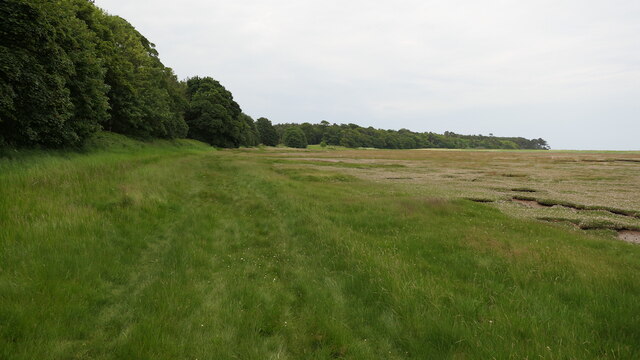
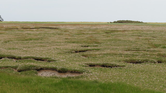
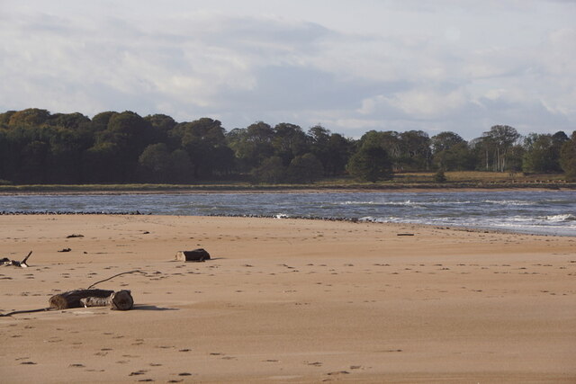
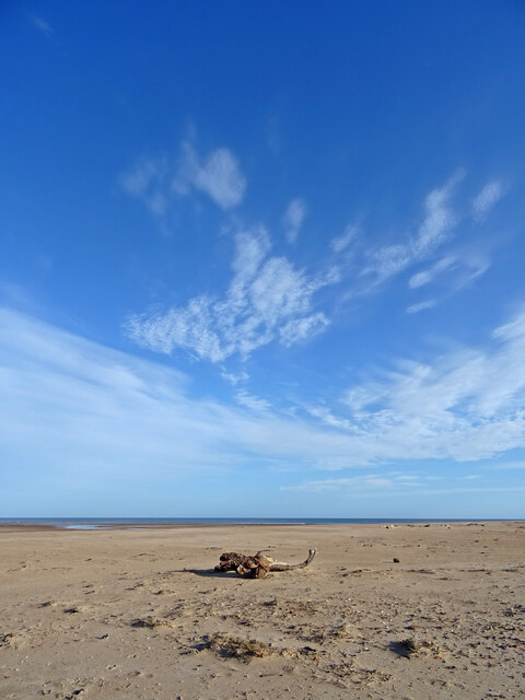
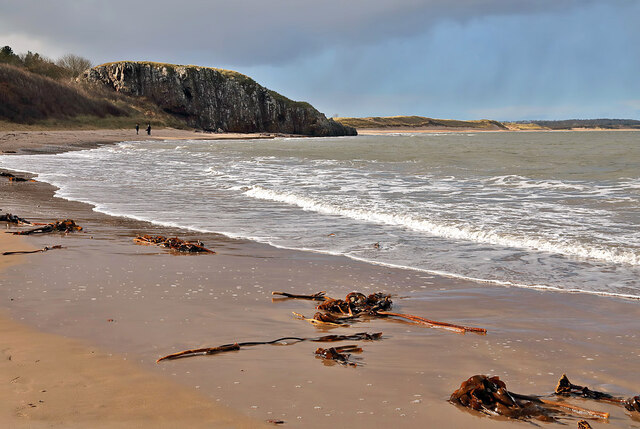
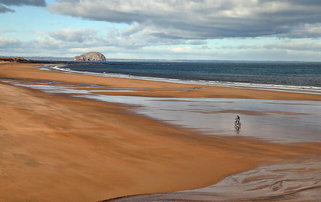
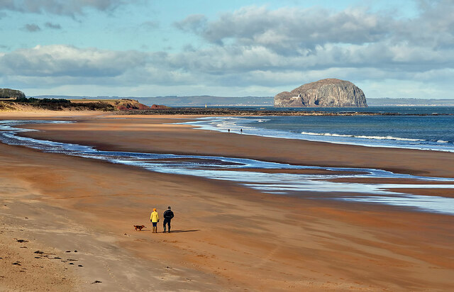
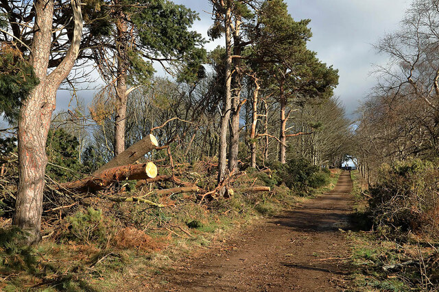
Ravensheugh Wood is a picturesque woodland located in East Lothian, Scotland. Spanning an area of approximately 70 acres, it is one of the largest and most diverse woodlands in the region. The wood is nestled on the edge of the coastal cliffs, offering stunning views over the North Sea.
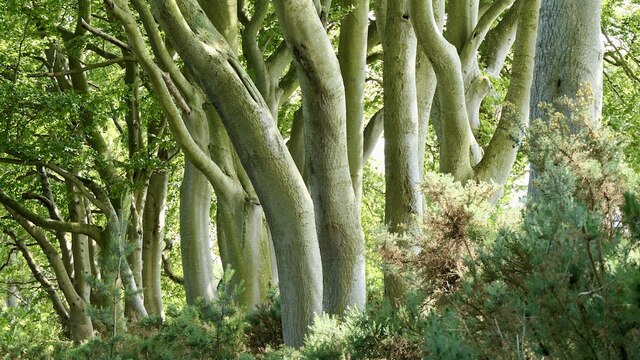
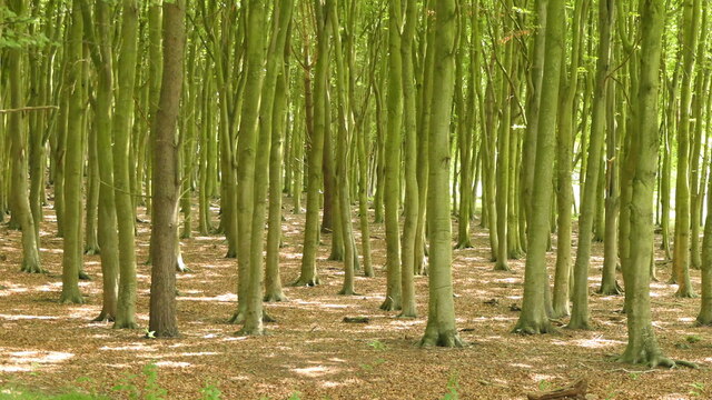
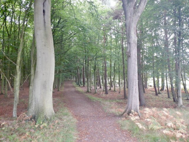
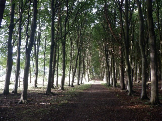
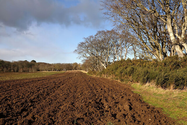
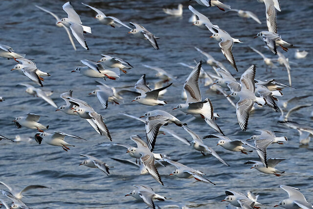
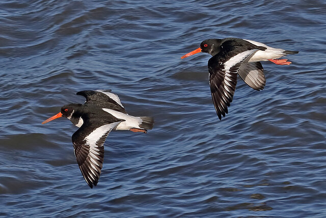
The woodland is primarily composed of native broadleaf trees, including oak, ash, beech, and birch. These trees provide a rich and diverse habitat for a wide range of wildlife, including birds, mammals, and insects. Visitors to Ravensheugh Wood can often spot species such as red squirrels, roe deer, and various bird species, including buzzards and woodpeckers.
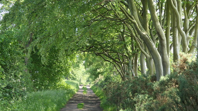
The wood boasts a network of well-maintained trails, allowing visitors to explore its beauty at their own pace. Walking through Ravensheugh Wood, one can witness the changing seasons, from vibrant spring blossoms to the golden hues of autumn. The wood is particularly famous for its carpets of bluebells that bloom in spring, creating a stunning sight for nature enthusiasts and photographers alike.
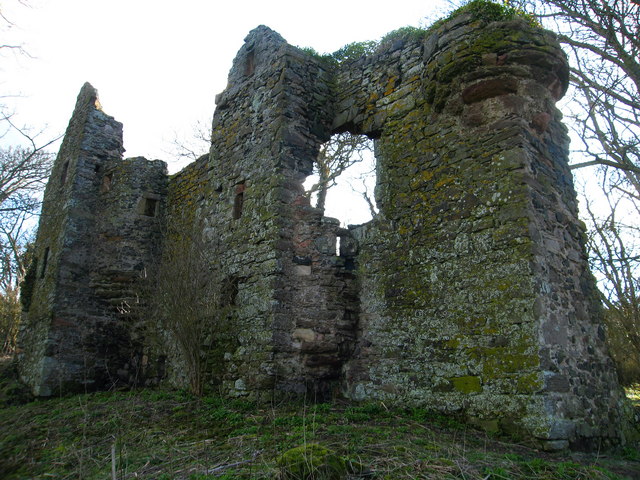
In addition to its natural beauty, Ravensheugh Wood also holds historical significance. The remnants of an ancient fort, known as the Ravensheugh Castle, can still be seen within the wood. This castle, believed to have been built in the 12th century, adds a touch of mystery and intrigue to the woodland.
Overall, Ravensheugh Wood is a haven for nature lovers, offering a peaceful retreat from the hustle and bustle of everyday life. Its combination of scenic beauty, diverse wildlife, and historical charm make it a must-visit destination in East Lothian.
If you have any feedback on the listing, please let us know in the comments section below.
Ravensheugh Wood Images
Images are sourced within 2km of 56.023435/-2.6000897 or Grid Reference NT6281. Thanks to Geograph Open Source API. All images are credited.
Ravensheugh Wood is located at Grid Ref: NT6281 (Lat: 56.023435, Lng: -2.6000897)
Unitary Authority: East Lothian
Police Authority: The Lothians and Scottish Borders
What 3 Words
///empires.vowing.formless. Near East Linton, East Lothian
Nearby Locations
Related Wikis

Tyninghame House
Tyninghame House is a mansion in East Lothian, Scotland. It is located by the mouth of the River Tyne, 2⁄3-mile (1.1 km) east of Tyninghame, and 3+3⁄4...

River Tyne, Scotland
The River Tyne is a river in Scotland. It rises in the Moorfoot Hills in Midlothian near Tynehead to the south of Edinburgh, at the junction of the B6458...

John Muir Country Park
The John Muir Country Park is a country park near the village of West Barns, which is part of the town of Dunbar in East Lothian, Scotland. It is named...

Tyninghame
Tyninghame is a small settlement in East Lothian, Scotland, about two miles north-east of East Linton. Together with the nearby settlement of Whitekirk...

Whitekirk
Whitekirk is a small settlement in East Lothian, Scotland. Together with the nearby settlement of Tyninghame, it gives its name to the parish of Whitekirk...
Whitekirk and Tyninghame
Whitekirk and Tyninghame is a civil parish in East Lothian, Scotland, which takes its name from the two small settlements of Whitekirk and Tyninghame....
Seacliff
Seacliff comprises a beach, an estate and a harbour. It lies 4 miles (6 kilometres) east of North Berwick, East Lothian, Scotland. == History == The beach...
Auldhame Castle
Auldhame Castle is a ruined L-plan tower house standing on a ridge above Seacliff beach, about 3 miles east of North Berwick in East Lothian, and less...
Nearby Amenities
Located within 500m of 56.023435,-2.6000897Have you been to Ravensheugh Wood?
Leave your review of Ravensheugh Wood below (or comments, questions and feedback).