Big Field Plantation
Wood, Forest in Roxburghshire
Scotland
Big Field Plantation
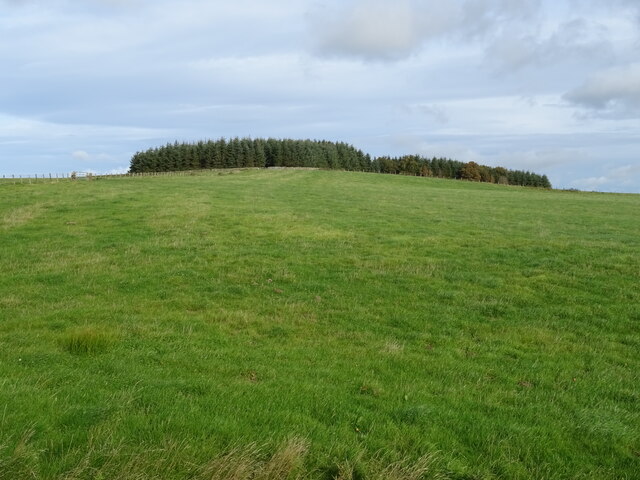
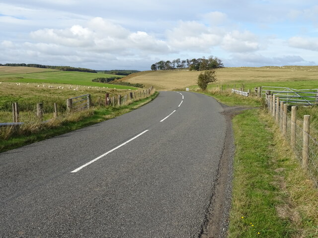
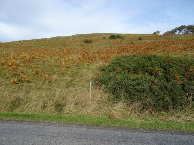
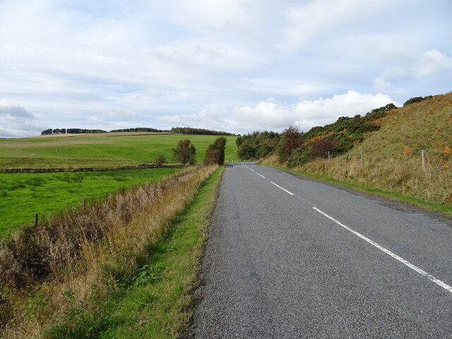
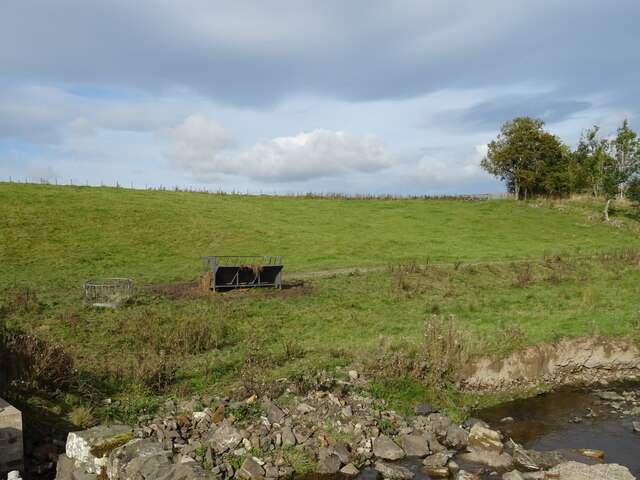
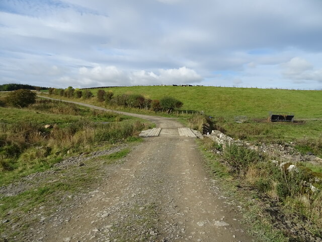
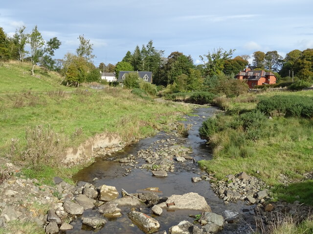
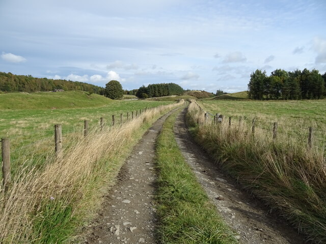
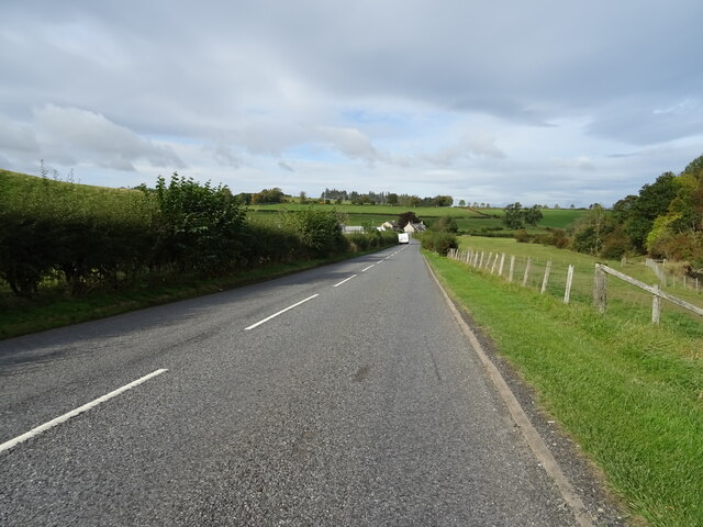
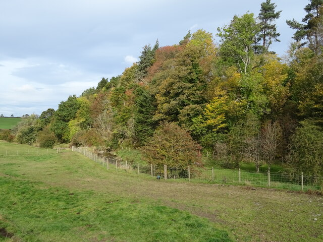
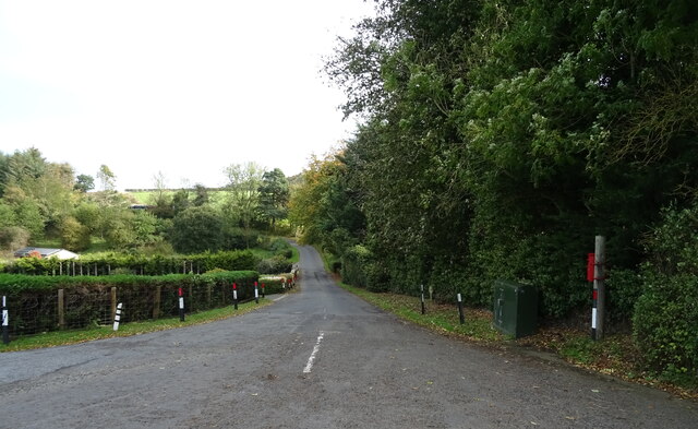
Big Field Plantation is a sprawling woodland located in Roxburghshire, Scotland. Covering an area of approximately 500 acres, this expansive plantation is known for its lush greenery and diverse range of plant species. It is situated in a picturesque setting, surrounded by rolling hills and offering breathtaking views of the surrounding landscape.
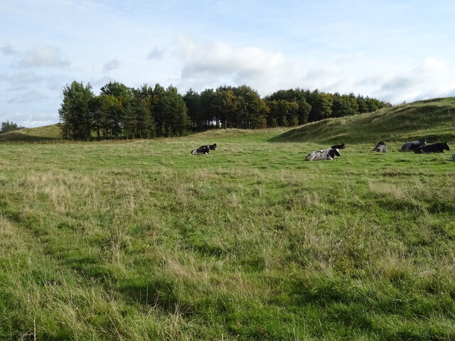
The woodland consists mainly of native broadleaf trees, such as oak, beech, and ash, which provide a rich habitat for various wildlife species. The dense canopy of the trees creates a tranquil and peaceful environment, making it a popular destination for nature lovers and outdoor enthusiasts.
Visitors to Big Field Plantation can enjoy a network of well-maintained walking trails that wind their way through the woodland. These trails offer opportunities for leisurely strolls, bird watching, and exploring the diverse flora and fauna that call this plantation their home. The plantation is also home to a variety of bird species, including woodpeckers, owls, and various songbirds, making it a haven for birdwatchers.
In addition to its natural beauty, Big Field Plantation is also of historical significance. The woodland has remnants of ancient settlements and is believed to have been inhabited as far back as the Iron Age. Archaeological finds, including pottery shards and tools, have been discovered within the woodland, adding to its historical appeal.
Overall, Big Field Plantation in Roxburghshire is a captivating woodland, offering a blend of natural beauty, biodiversity, and historical intrigue. It serves as a peaceful retreat for those seeking solace in nature and a glimpse into the past.
If you have any feedback on the listing, please let us know in the comments section below.
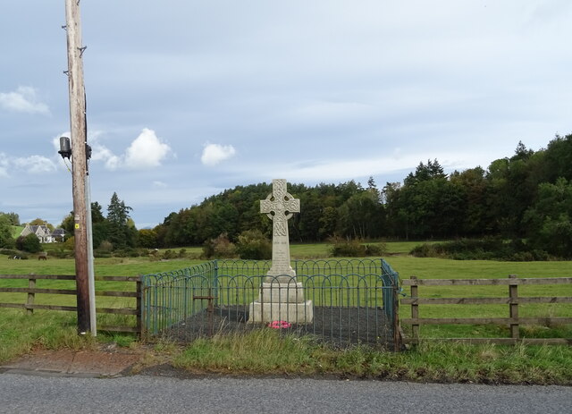
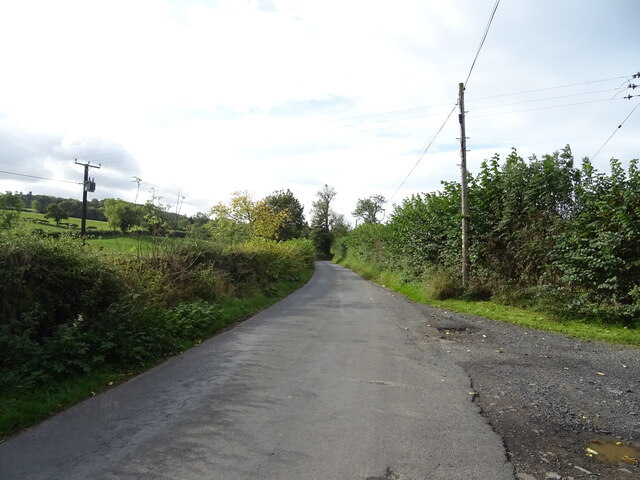
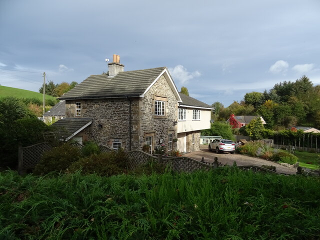
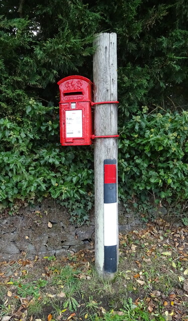
Big Field Plantation Images
Images are sourced within 2km of 55.427243/-2.7173716 or Grid Reference NT5415. Thanks to Geograph Open Source API. All images are credited.
Big Field Plantation is located at Grid Ref: NT5415 (Lat: 55.427243, Lng: -2.7173716)
Unitary Authority: The Scottish Borders
Police Authority: The Lothians and Scottish Borders
What 3 Words
///fists.tonic.collects. Near Hawick, Scottish Borders
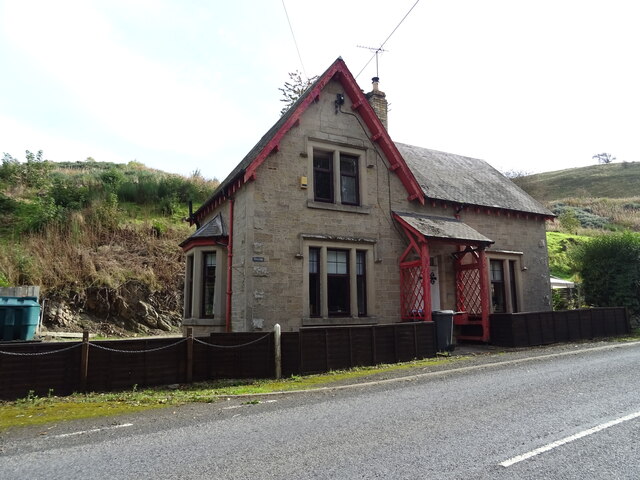
Nearby Locations
Related Wikis

Cavers Castle
Cavers Castle, also known as Cavers House, is a ruined tower house located at Cavers, Scottish Borders, Scotland. Cavers Castle was a much extended tower...

Cavers, Scottish Borders
Cavers is a parish in the Scottish Borders area of Scotland, in the former county of Roxburghshire, south and east of Hawick. The largest village in the...

Kirkton, Scottish Borders
Kirkton is a village in the Scottish Borders area of Scotland, off the A6088, near Hawick. Grid Ref. NT5413. It is a former parish, amalgamated into the...

Appletreehall
Appletreehall is a village in the Scottish Borders area of Scotland, 2 miles (3 kilometres) north-east of Hawick, in the historic county of Roxburghshire...
Related Videos

Unbelievable scenes Hawick Royal Albert v Stoneyburn
Hawick Royal Albert v Stoneyburn Matchday vlog. It wasn't just a game of footbal! So much drama at the end that many, including ...

RUBERSLAW HIKE
Hello Jamie here and with another video. This is my snippets video of when I did Ruberslaw. The whole thing. As well as little ...

RUBERSLAW SUMMIT
Hello Jamie here and with another video. So I'm at the top of Ruberslaw, the summit. So I took time to take it all in. Could even see ...
Nearby Amenities
Located within 500m of 55.427243,-2.7173716Have you been to Big Field Plantation?
Leave your review of Big Field Plantation below (or comments, questions and feedback).