Cavers Wood
Wood, Forest in Roxburghshire
Scotland
Cavers Wood
Cavers Wood is a picturesque forest located in Roxburghshire, a historic county in the Scottish Borders region of Scotland. Covering an area of approximately 200 hectares, it is a popular destination for nature lovers and outdoor enthusiasts.
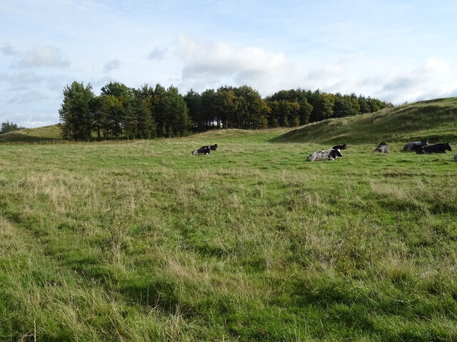
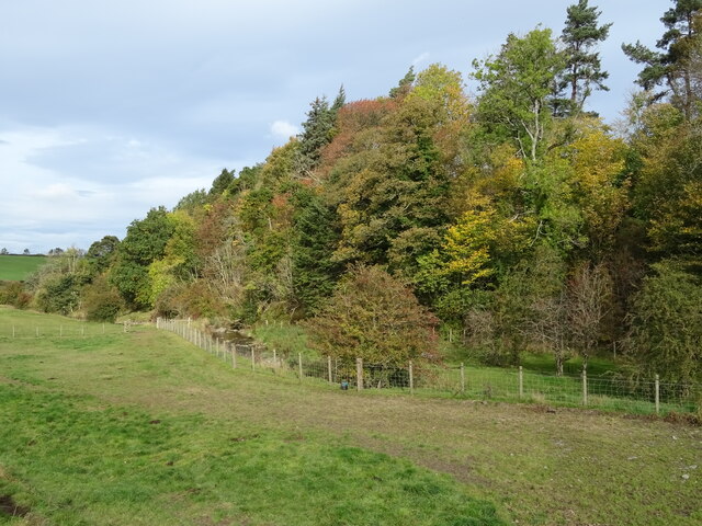
The wood is characterized by its diverse range of tree species, including oak, ash, birch, and beech. These trees provide a rich habitat for a variety of wildlife, making it an important conservation area. Visitors can expect to encounter a wide array of bird species, such as woodpeckers, owls, and thrushes, as well as mammals like red squirrels, badgers, and roe deer.
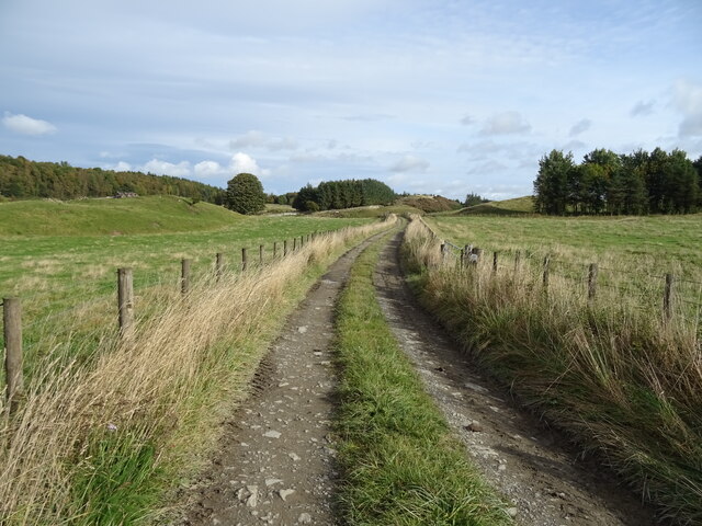
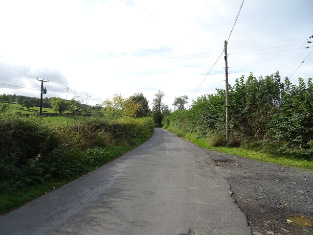
Trails and paths meander throughout the wood, allowing visitors to explore its beauty at their own pace. The well-maintained paths make it accessible for walkers of all ages and abilities. Additionally, there are designated cycling routes for those who prefer to explore on two wheels.
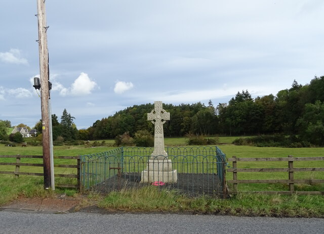
Cavers Wood also holds historical significance, with remnants of ancient settlements and archaeological sites scattered throughout the forest. These sites provide a glimpse into the area's past and offer an opportunity for visitors to connect with the region's rich heritage.
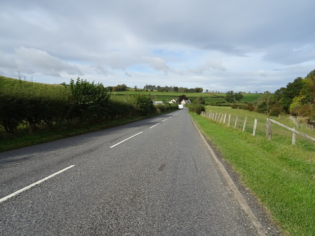
The wood is open to the public throughout the year, and there are facilities available, including parking areas and picnic spots. It is important to note that Cavers Wood is managed by a local forestry organization, which ensures its conservation and sustainable use for future generations to enjoy.
If you have any feedback on the listing, please let us know in the comments section below.
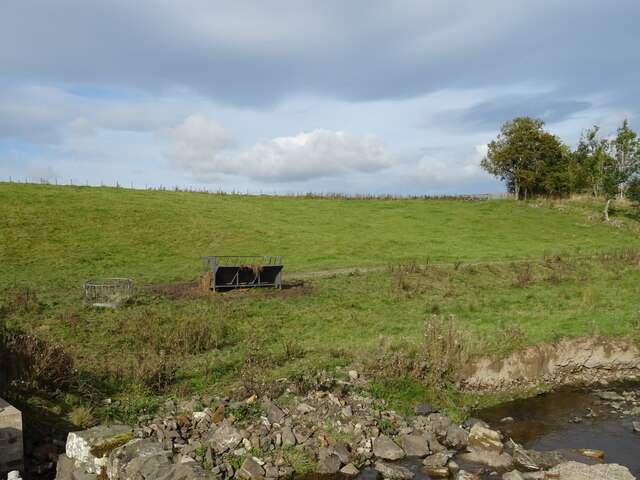
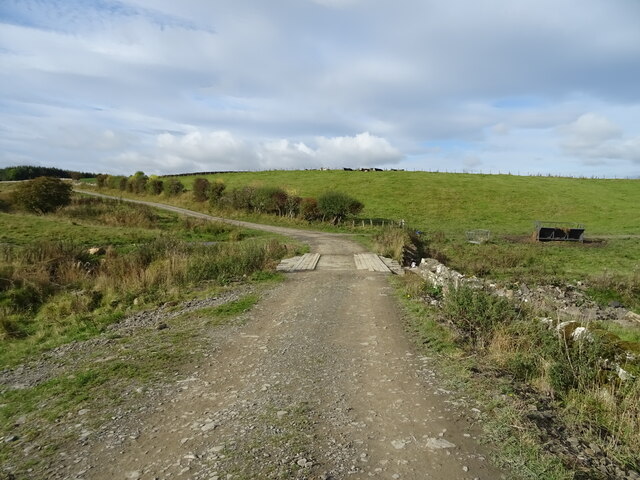
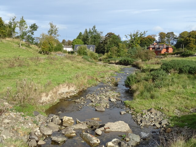
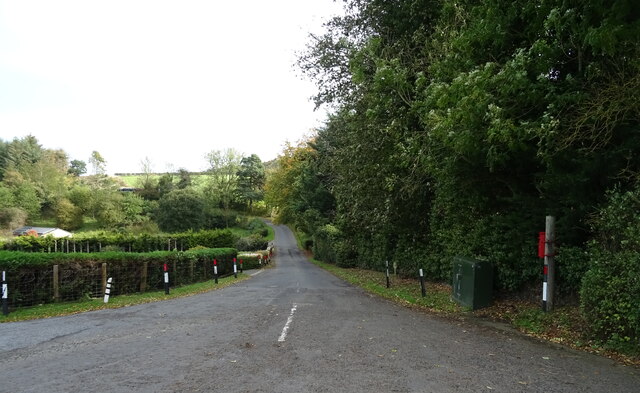
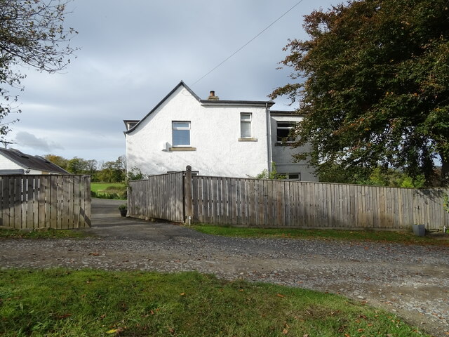
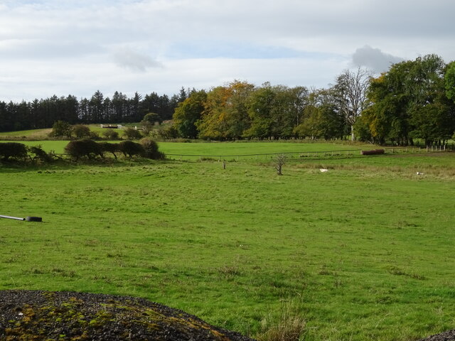
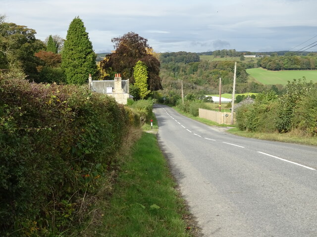
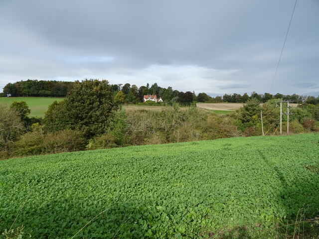
Cavers Wood Images
Images are sourced within 2km of 55.429632/-2.7282077 or Grid Reference NT5415. Thanks to Geograph Open Source API. All images are credited.
Cavers Wood is located at Grid Ref: NT5415 (Lat: 55.429632, Lng: -2.7282077)
Unitary Authority: The Scottish Borders
Police Authority: The Lothians and Scottish Borders
What 3 Words
///round.bunny.impeached. Near Hawick, Scottish Borders
Nearby Locations
Related Wikis

Cavers Castle
Cavers Castle, also known as Cavers House, is a ruined tower house located at Cavers, Scottish Borders, Scotland. Cavers Castle was a much extended tower...

Cavers, Scottish Borders
Cavers is a parish in the Scottish Borders area of Scotland, in the former county of Roxburghshire, south and east of Hawick. The largest village in the...

Kirkton, Scottish Borders
Kirkton is a village in the Scottish Borders area of Scotland, off the A6088, near Hawick. Grid Ref. NT5413. It is a former parish, amalgamated into the...

Appletreehall
Appletreehall is a village in the Scottish Borders area of Scotland, 2 miles (3 kilometres) north-east of Hawick, in the historic county of Roxburghshire...
Nearby Amenities
Located within 500m of 55.429632,-2.7282077Have you been to Cavers Wood?
Leave your review of Cavers Wood below (or comments, questions and feedback).