East Middles Strip
Wood, Forest in Roxburghshire
Scotland
East Middles Strip
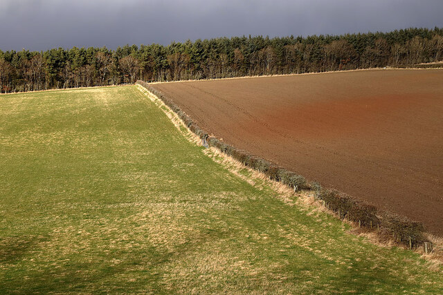
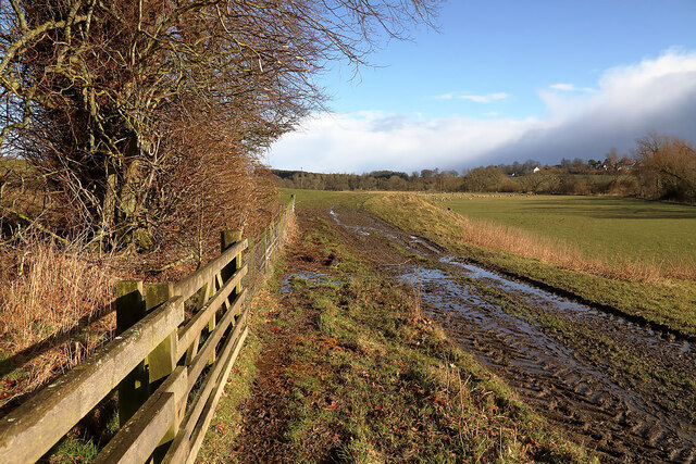
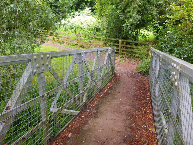
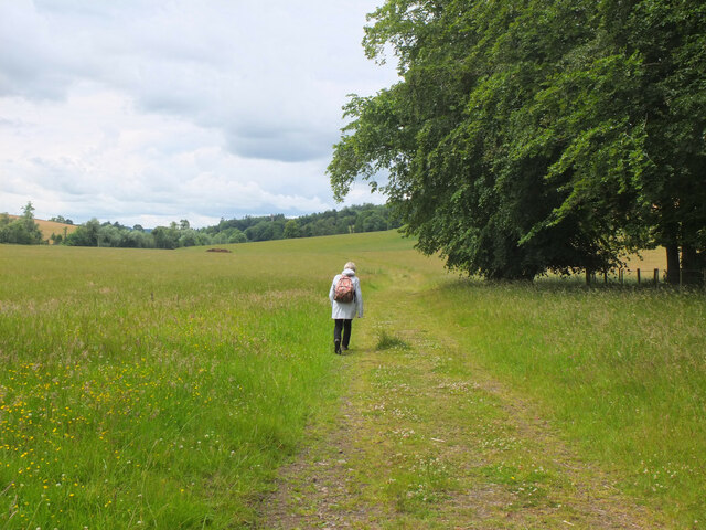
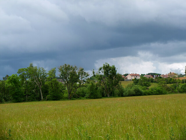
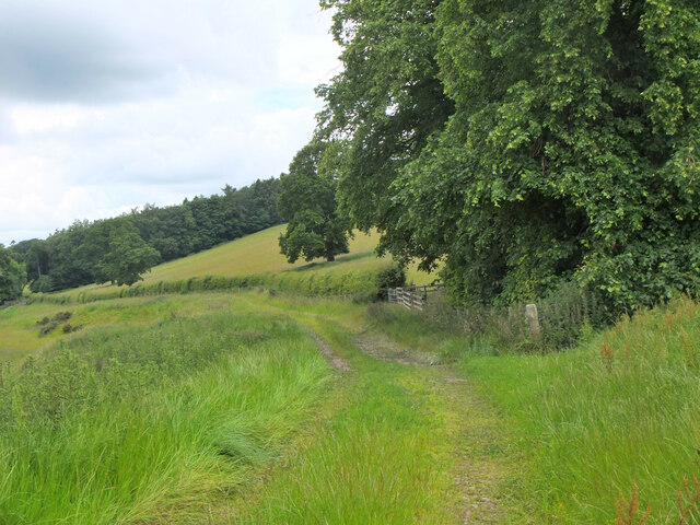
East Middles Strip, located in Roxburghshire, is a beautiful and enchanting wooded area known for its dense forest and captivating flora and fauna. Spread over an expansive area, this region is a haven for nature enthusiasts, offering a serene and picturesque landscape.
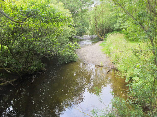
The woodland in East Middles Strip is characterized by a rich variety of trees, including oak, beech, and pine, which create a vibrant and diverse ecosystem. The dense canopy formed by these towering trees provides ample shade and shelter for a multitude of wildlife species. Visitors can expect to encounter a range of animals, such as red squirrels, deer, and a variety of bird species, making it a perfect spot for birdwatching and wildlife observation.
Traversing through the woodland, visitors can explore a network of well-maintained trails and paths that wind their way through the forest. These trails offer an opportunity to immerse oneself in the peaceful surroundings and enjoy the tranquil ambiance. The forest floor is adorned with a stunning array of wildflowers, adding to the natural beauty of the area.
East Middles Strip also boasts a number of picnic areas and rest spots, enabling visitors to take a break and enjoy the scenic views. Additionally, educational signposts and information boards are placed strategically throughout the woodland, providing valuable insights into the local flora and fauna.
Overall, East Middles Strip in Roxburghshire is a captivating destination for nature lovers and outdoor enthusiasts, offering a unique and immersive experience in the heart of a stunning forested landscape.
If you have any feedback on the listing, please let us know in the comments section below.
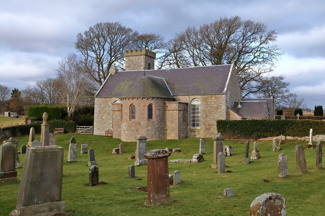
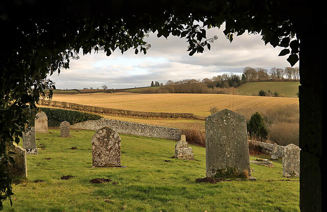
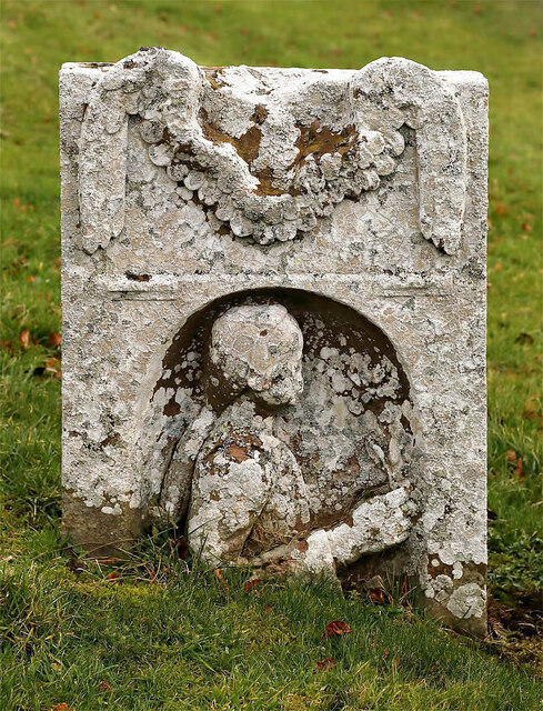
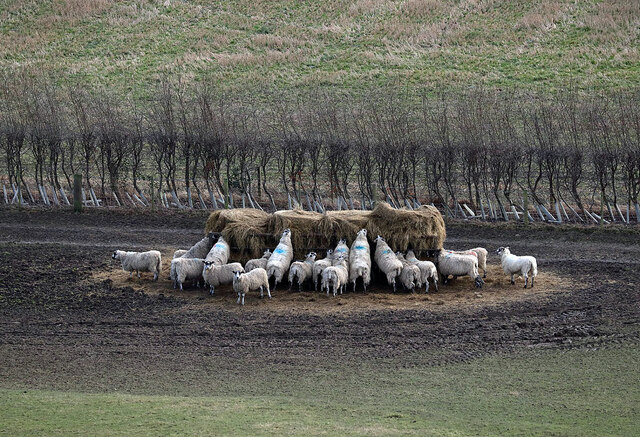
East Middles Strip Images
Images are sourced within 2km of 55.511286/-2.7295883 or Grid Reference NT5424. Thanks to Geograph Open Source API. All images are credited.

East Middles Strip is located at Grid Ref: NT5424 (Lat: 55.511286, Lng: -2.7295883)
Unitary Authority: The Scottish Borders
Police Authority: The Lothians and Scottish Borders
What 3 Words
///discussed.plums.polka. Near Selkirk, Scottish Borders
Nearby Locations
Related Wikis

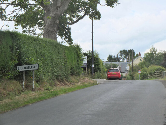
Lilliesleaf
Lilliesleaf is a small village and civil parish 7 miles (11 km) south east of Selkirk in the Roxburghshire area of Scottish Borders of Scotland. Other...

Lothian and Borders
Lothian and Borders is an area in Scotland consisting of the East Lothian, City of Edinburgh, Midlothian, West Lothian council areas (collectively known...
Old Belses
Old Belses is a village by the Ale Water, in the Parish of Ancrum, in the Scottish Borders of Scotland, in the historic county of Roxburghshire. Other...

Belses
Belses is a village on the Ale Water, in the Scottish Borders area of Scotland the former Selkirkshire. It is situated close to Old Belses, and lies south...
Nearby Amenities
Located within 500m of 55.511286,-2.7295883Have you been to East Middles Strip?
Leave your review of East Middles Strip below (or comments, questions and feedback).