Balnabriech Wood
Wood, Forest in Angus
Scotland
Balnabriech Wood
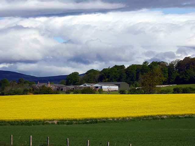
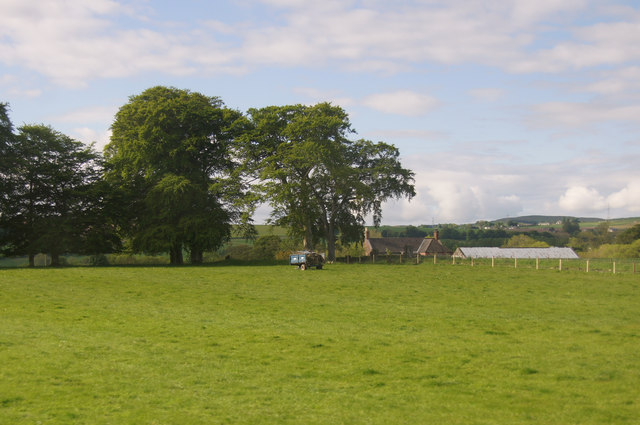
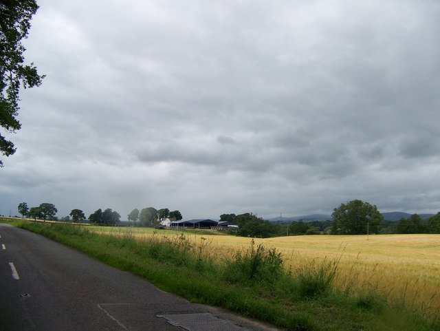
Balnabriech Wood is a forest located in the Angus region of Scotland. It covers an area of approximately 200 hectares and is situated near the village of Glamis. The wood is part of the larger Balnabreich Estate, which encompasses a total area of 1,000 hectares.
The forest is primarily composed of native broadleaf trees, such as oak, birch, and beech. These trees create a dense canopy, providing a habitat for a wide variety of flora and fauna. The forest floor is covered in a carpet of mosses, ferns, and wildflowers, adding to the beauty and diversity of the woodland.
Balnabriech Wood is known for its rich biodiversity. It is home to numerous species of birds, including woodpeckers, owls, and various songbirds. Mammals such as red squirrels, badgers, and deer can also be found within the forest.
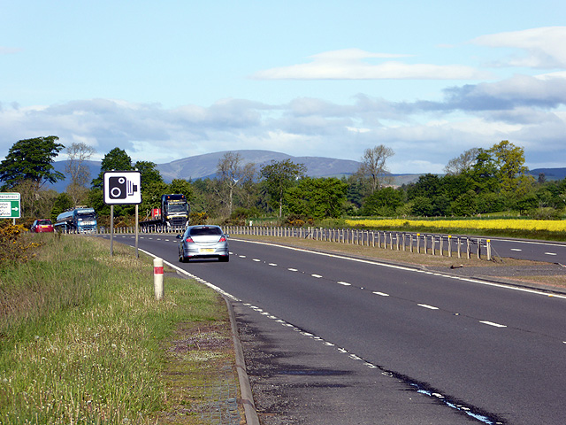
The wood offers several walking trails, allowing visitors to explore its natural beauty. These trails vary in length and difficulty, catering to both casual walkers and more experienced hikers. Along the trails, there are information boards providing details about the flora, fauna, and history of the area.
Balnabriech Wood is not only a haven for nature lovers but also an important site for conservation. Efforts have been made to preserve and enhance the woodland, ensuring its long-term sustainability and ecological value.
Overall, Balnabriech Wood offers a peaceful and picturesque retreat, providing a glimpse into the natural wonders of the Angus region.
If you have any feedback on the listing, please let us know in the comments section below.
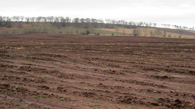
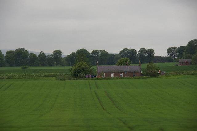
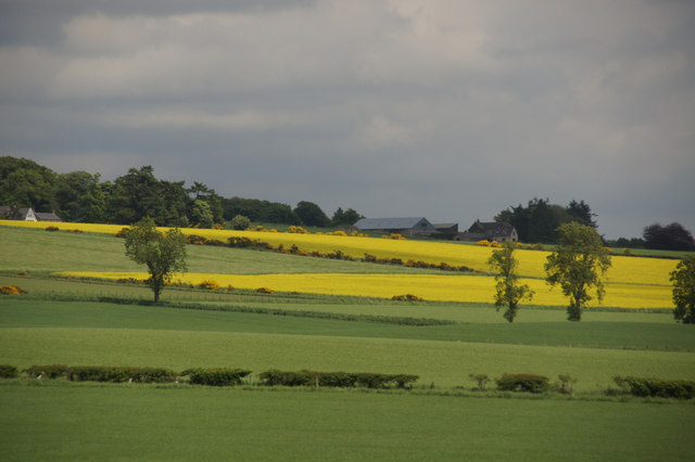
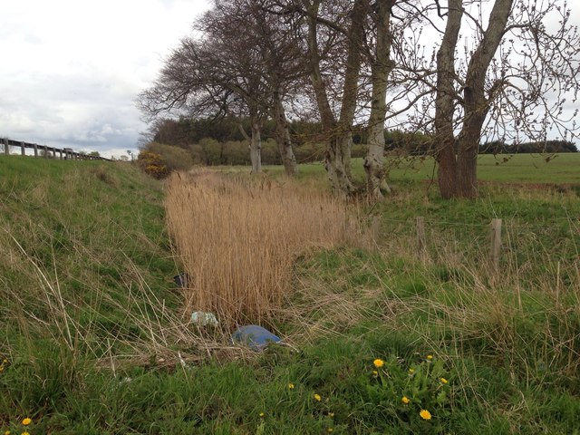
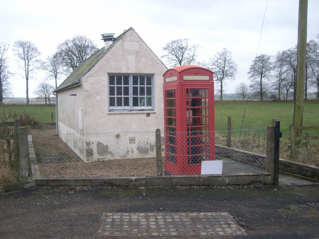
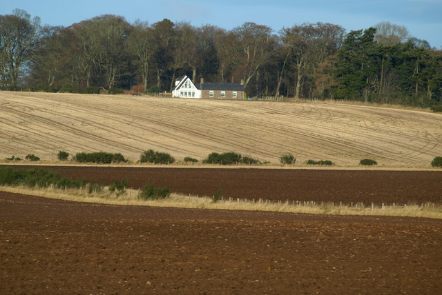
Balnabriech Wood Images
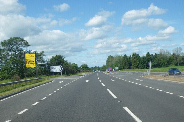
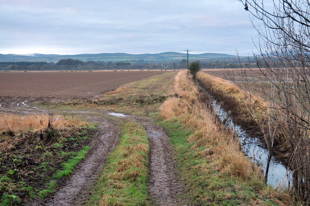
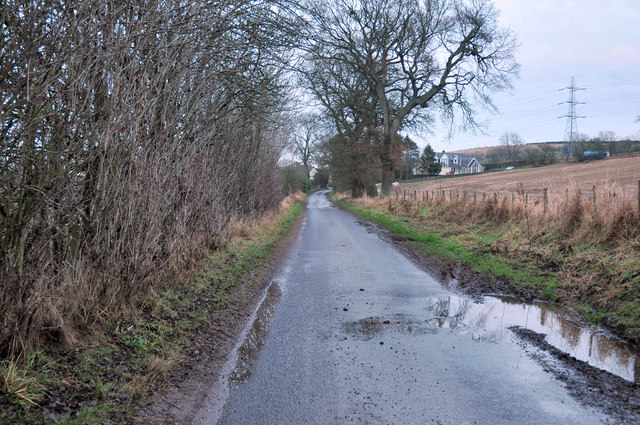
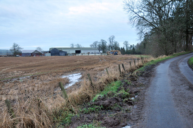
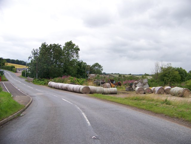
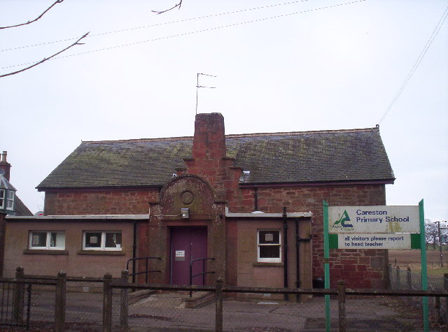
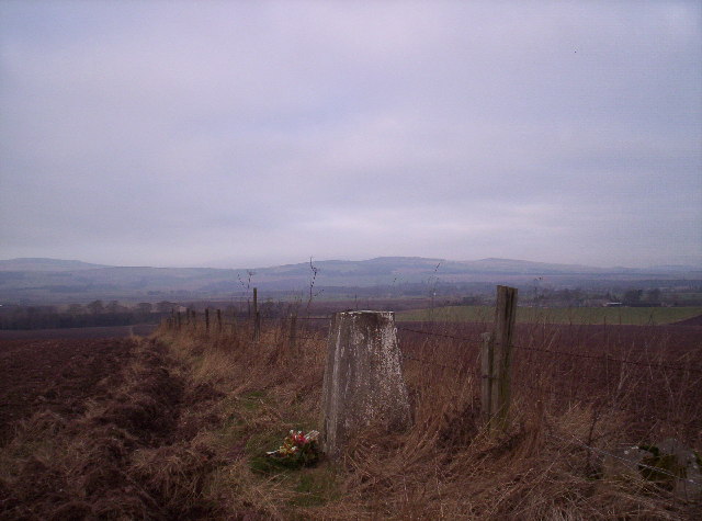
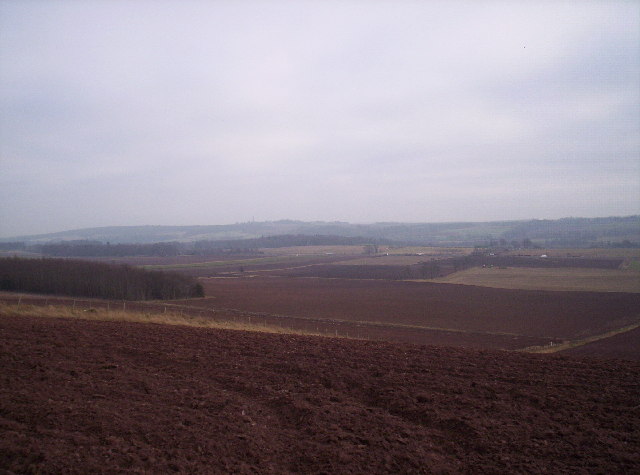
Images are sourced within 2km of 56.723727/-2.7418943 or Grid Reference NO5459. Thanks to Geograph Open Source API. All images are credited.
Balnabriech Wood is located at Grid Ref: NO5459 (Lat: 56.723727, Lng: -2.7418943)
Unitary Authority: Angus
Police Authority: Tayside
What 3 Words
///scanty.internal.assurance. Near Brechin, Angus
Nearby Locations
Related Wikis

Careston Castle
Careston Castle, also known as Caraldston Castle, is an L-plan tower house dating from the 16th century, on a 1,528-acre estate, in Careston parish, Angus...

Careston
Careston is a hamlet in Angus, Scotland that is in the parish of the same name, 5 miles west of Brechin. The parish and hamlet supposedly took their name...

Careston railway station
Careston railway station served the hamlet of Careston, Angus, Scotland, from 1895 to 1964 on the Forfar and Brechin Railway. == History == The station...

Melgund Castle
Melgund Castle, lying around two kilometres (1.2 mi) due east of Aberlemno in Angus, Scotland, is a 16th-century L-plan castle which has been partially...

Aberlemno
Aberlemno (Scottish Gaelic: Obar Leamhnach, IPA:[ˈopəɾˈʎɛunəx]) is a parish and small village in the Scottish council area of Angus. It is noted for three...

Aberlemno Sculptured Stones
The Aberlemno Sculptured Stones are a series of Pictish standing stones originating in and around the village of Aberlemno, Angus, Scotland. Three are...
Brechin High School
Brechin High School is a non-denominational secondary school in Brechin, Angus, Scotland == Admissions == It has approximately 660 students. The school...

Little Brechin
Little Brechin is a village in Angus, Scotland. It lies approximately two miles north of Brechin on the north side of the A90 road. == References... ==
Nearby Amenities
Located within 500m of 56.723727,-2.7418943Have you been to Balnabriech Wood?
Leave your review of Balnabriech Wood below (or comments, questions and feedback).