Avenue Plantation
Wood, Forest in Aberdeenshire
Scotland
Avenue Plantation
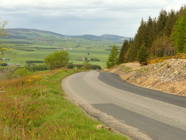
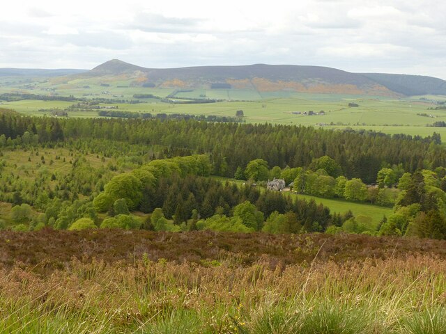
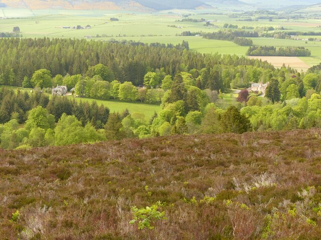
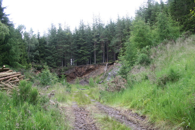
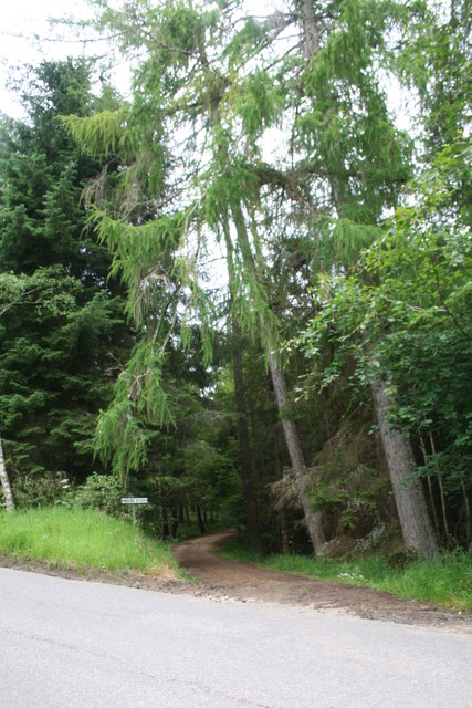
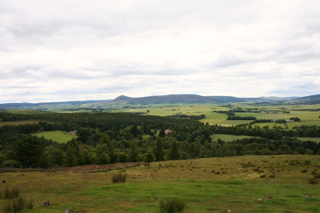
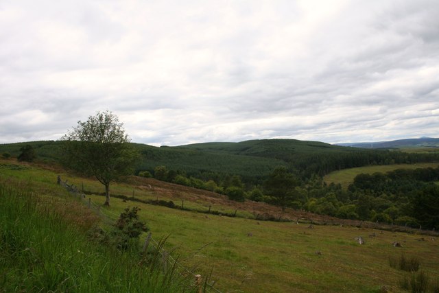
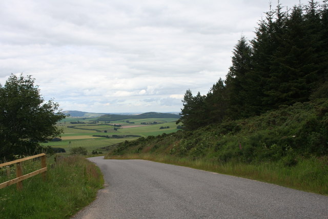
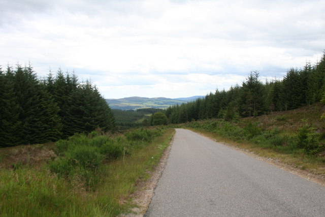
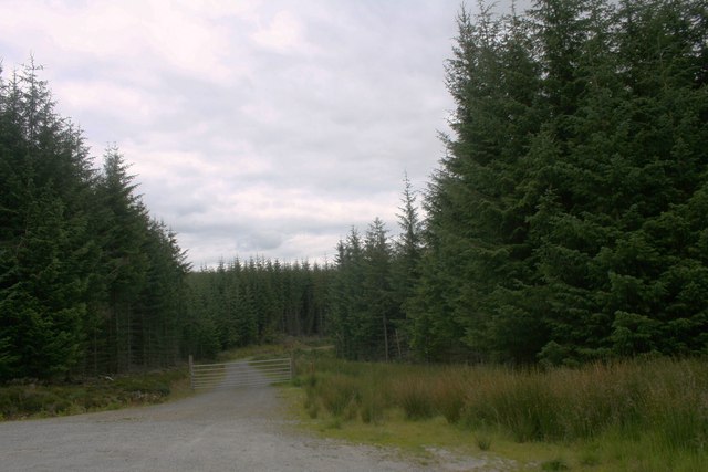
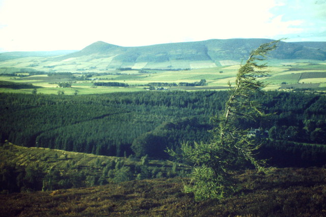
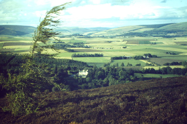
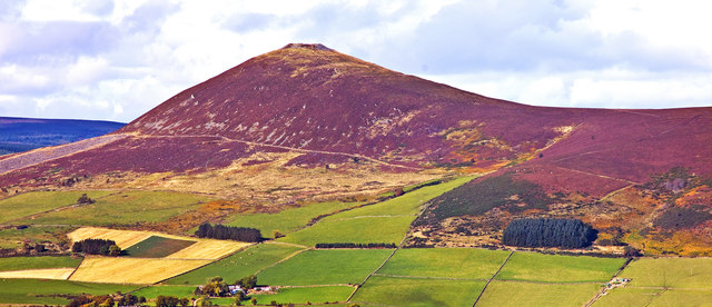
Avenue Plantation is a picturesque woodland located in Aberdeenshire, Scotland. Covering an area of approximately 50 acres, it is a popular destination for nature enthusiasts, hikers, and those seeking tranquility amidst nature’s wonders. The plantation is known for its dense and diverse forest, filled with a variety of trees and vegetation.
The woodland is predominantly composed of native species such as oak, birch, and beech trees, which provide a beautiful backdrop throughout the year. In spring, the forest is adorned with vibrant flowers and blossoms, creating a colorful and enchanting atmosphere. During autumn, the foliage transforms into a stunning array of reds, oranges, and yellows, drawing visitors to witness the breathtaking display.
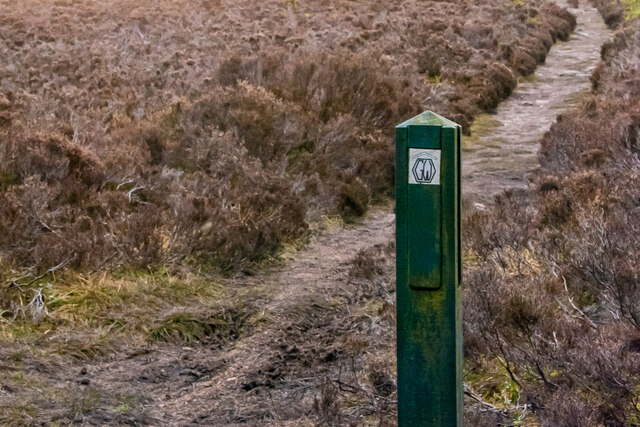
Avenue Plantation offers several well-maintained trails, making it an ideal location for leisurely walks and exploration. The paths wind through the forest, offering glimpses of wildlife such as deer, squirrels, and various bird species. The plantation also features picnic areas, allowing visitors to relax and enjoy a meal amidst the natural beauty.
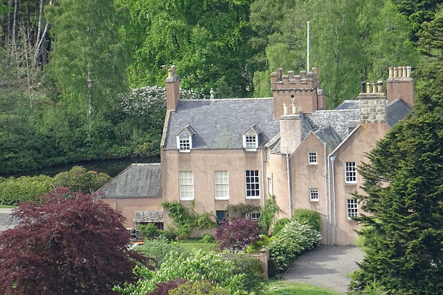
In addition to its scenic qualities, Avenue Plantation holds historical significance. The woodland was once part of an estate dating back to the 18th century, and remnants of the estate, including old stone walls and ruins, can still be found within the plantation.
Overall, Avenue Plantation in Aberdeenshire is a captivating destination for nature lovers, offering a serene and captivating experience in the heart of Scotland's woodlands.
If you have any feedback on the listing, please let us know in the comments section below.
Avenue Plantation Images
Images are sourced within 2km of 57.307839/-2.7532231 or Grid Reference NJ5424. Thanks to Geograph Open Source API. All images are credited.
Avenue Plantation is located at Grid Ref: NJ5424 (Lat: 57.307839, Lng: -2.7532231)
Unitary Authority: Aberdeenshire
Police Authority: North East
What 3 Words
///lace.consoles.hawks. Near Alford, Aberdeenshire
Nearby Locations
Related Wikis

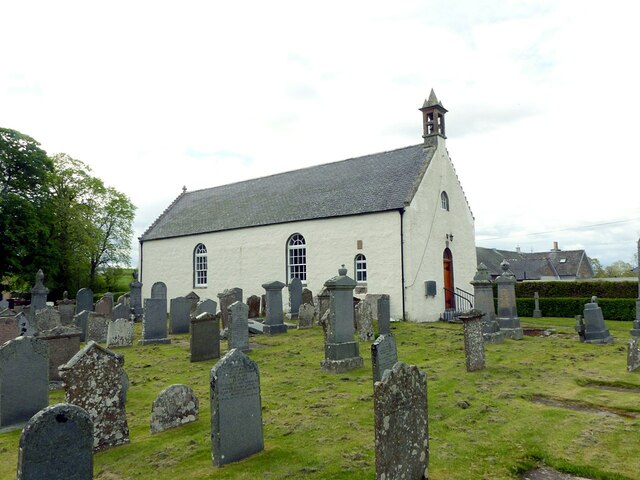
Clatt
Clatt (Gaelic cleithe, 'concealed'), is a village in Aberdeenshire, Scotland. The remains of a morthouse are located in the cemetery of the old church...

Ardlair Stone
The Ardlair Stone is a class I Pictish stone that stands in a field in Ardlair, Kennethmont, Aberdeenshire, Scotland. It is associated with a number of...

Druminnor Castle
Druminnor Castle is an L-plan castle, dating from the early 15th century, about two miles east of Rhynnie, in a steep valley by the Keron burn, in Aberdeenshire...

Castle Croft
Castle Croft was located near New Leslie farm, about 5 kilometres (3.1 mi) south-west of Insch, in Aberdeenshire, Scotland. It was the property of the...
Terpersie Castle
Terpersie Castle (originally built as Dalpersie House) is a 16th-century tower house in Tullynessle, Aberdeenshire, Scotland, located 5 kilometres (3...

Ardmore distillery
Ardmore distillery is a single malt Scotch whisky distillery, located in the village of Kennethmont, Scotland. The distillery is owned and operated by...

Kennethmont
Kennethmont (archaically Kinnethmont, or Kirkhill of Kennethmont) is a village in the Marr area of Aberdeenshire, Scotland, approximately 8 miles (13 km...

Tullynessle
Tullynessle is a hamlet in Aberdeenshire, Scotland, three miles NNW of Alford.The settlement contains the Category A listed Terpersie Castle, a privately...
Nearby Amenities
Located within 500m of 57.307839,-2.7532231Have you been to Avenue Plantation?
Leave your review of Avenue Plantation below (or comments, questions and feedback).