Long Wood
Wood, Forest in Kirkcudbrightshire
Scotland
Long Wood
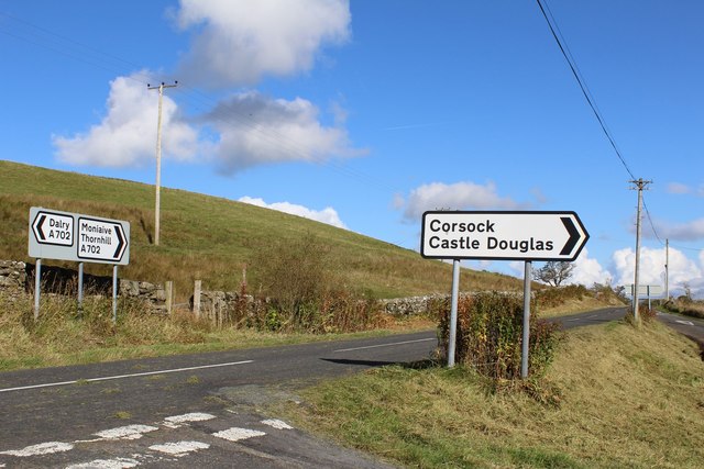
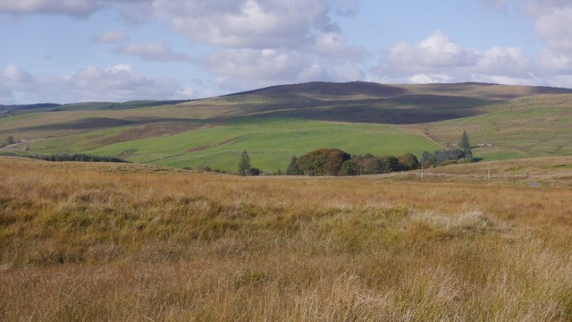
Long Wood is a sprawling forest located in Kirkcudbrightshire, a historic county in south-west Scotland. Covering an extensive area of approximately 500 hectares, the wood is situated approximately 3 miles northwest of the town of Kirkcudbright.
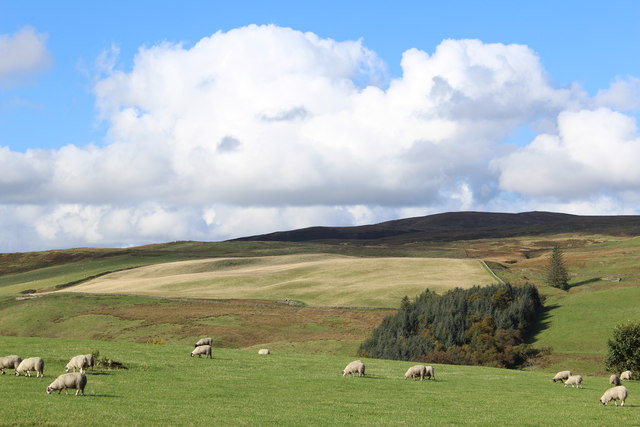
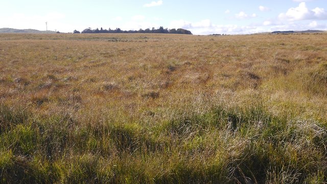
The woodland is primarily composed of deciduous trees, with a mix of species including oak, birch, beech, and ash, creating a diverse and vibrant ecosystem. The trees stand tall, forming a dense canopy that provides shade and shelter to a variety of flora and fauna. The forest floor is covered in a rich carpet of ferns, mosses, and wildflowers, adding to the enchanting atmosphere of the wood.
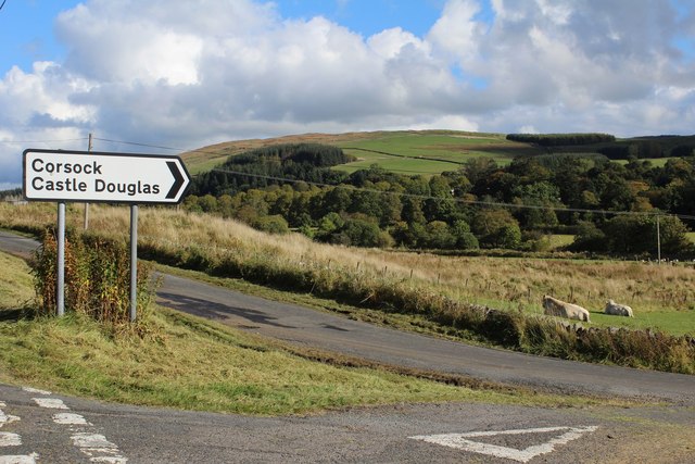
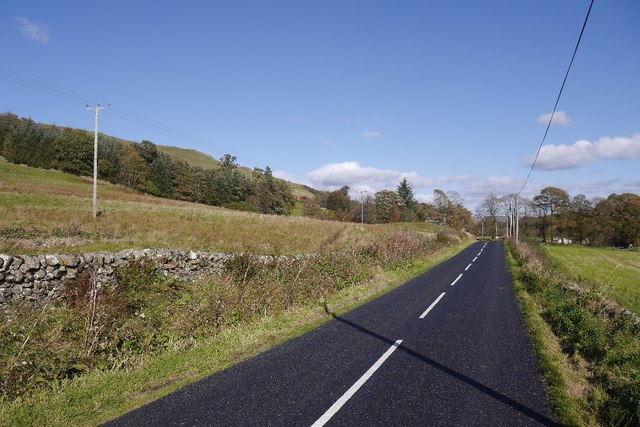
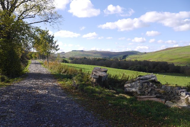
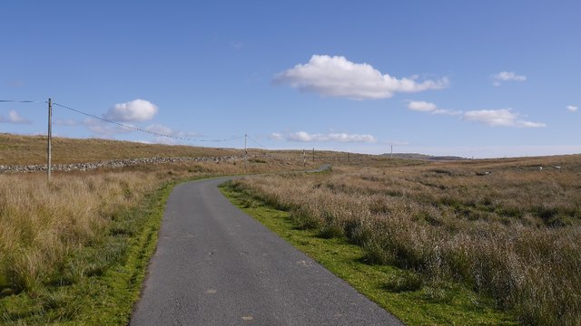
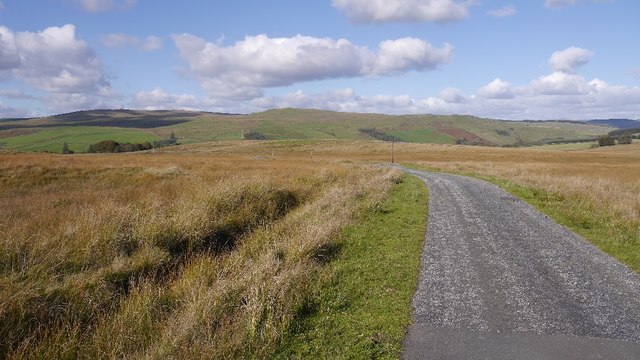
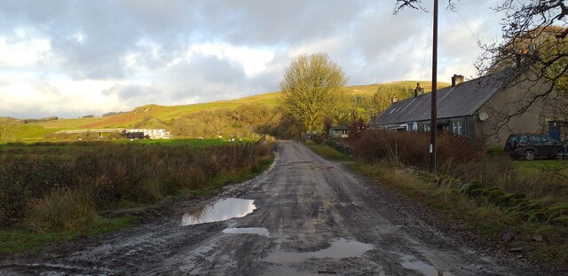
Long Wood is crisscrossed with a network of walking trails, allowing visitors to explore its beauty and immerse themselves in nature. These paths, maintained by local authorities, provide both leisurely strolls and more challenging hikes, catering to all levels of fitness. The tranquil ambiance of the wood makes it a popular destination for outdoor enthusiasts, nature lovers, and families seeking a peaceful retreat.
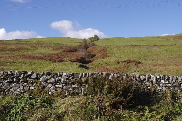
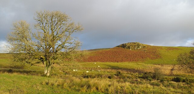
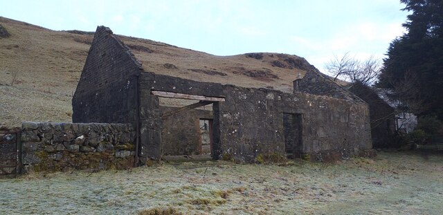
The forest also holds historical and cultural significance. It is believed that the wood has been in existence for centuries, with evidence of human activity dating back to prehistoric times. The area's history is further enriched by the presence of ancient ruins, including a hillfort and burial mounds, which add a sense of mystery and intrigue to the landscape.
Overall, Long Wood in Kirkcudbrightshire is an awe-inspiring forest, offering a haven of natural beauty, recreational opportunities, and a glimpse into the past.
If you have any feedback on the listing, please let us know in the comments section below.
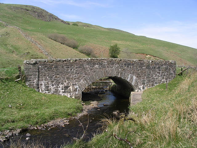
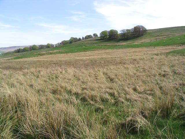
Long Wood Images
Images are sourced within 2km of 55.15587/-3.9909226 or Grid Reference NX7386. Thanks to Geograph Open Source API. All images are credited.
Long Wood is located at Grid Ref: NX7386 (Lat: 55.15587, Lng: -3.9909226)
Unitary Authority: Dumfries and Galloway
Police Authority: Dumfries and Galloway
What 3 Words
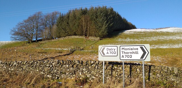
///potato.statement.binders. Near Thornhill, Dumfries & Galloway
Nearby Locations
Related Wikis

Loch Skae
Loch Skae is a small, upland freshwater loch to the north of Blackcraig Hill, approximately 18 miles (29 km) west of Dumfries, Scotland, 0.5 mi (0.80 km...

Craigdarroch
"Craigdarroch, An Accessory to Murder" is an expansion set for the board game Kill Doctor Lucky Craigdarroch is a house near Moniaive, Dumfries and Galloway...

Loch Howie
Loch Howie is a small, narrow, upland freshwater loch on the north side of Blackcraig Hill, approximately 18 miles (29 km) west of Dumfries, Scotland....

Craigenputtock
Craigenputtock (usually spelled by the Carlyles as Craigenputtoch) is an estate in Scotland where Thomas Carlyle lived from 1828 to 1834. He wrote several...

Moniaive railway station
Moniaive railway station is the closed station terminus of the Cairn Valley Light Railway (CVR) branch, from Dumfries. It served the rural area of Moniaive...

Moniaive
Moniaive ( 'monny-IVE'; Scottish Gaelic: Am Moine Naomh, "The Holy Moor") is a village in the Parish of Glencairn, in Dumfries and Galloway, southwest...

Carsphairn and Scaur Hills
The Carsphairn and Scaur Hills are the western and eastern hills respectively of a hill range in the Southern Uplands of Scotland. Ordnance Survey maps...

Lochinvar
Lochinvar (or Lan Var) is a loch in the civil parish of Dalry in the historic county of Kirkcudbrightshire, Dumfries and Galloway Scotland. It is located...
Nearby Amenities
Located within 500m of 55.15587,-3.9909226Have you been to Long Wood?
Leave your review of Long Wood below (or comments, questions and feedback).