Shallow Tongue
Wood, Forest in Stirlingshire
Scotland
Shallow Tongue
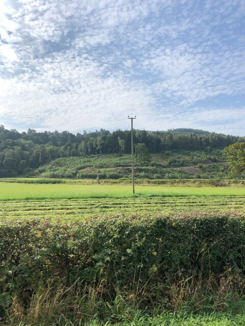
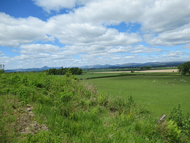
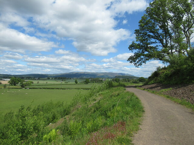
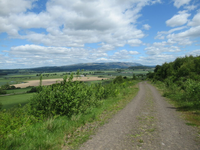
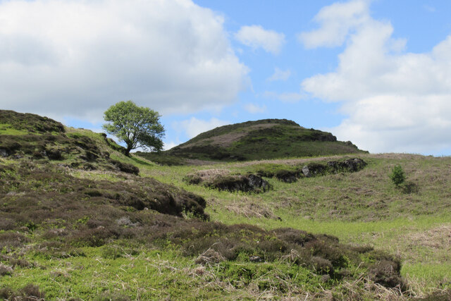
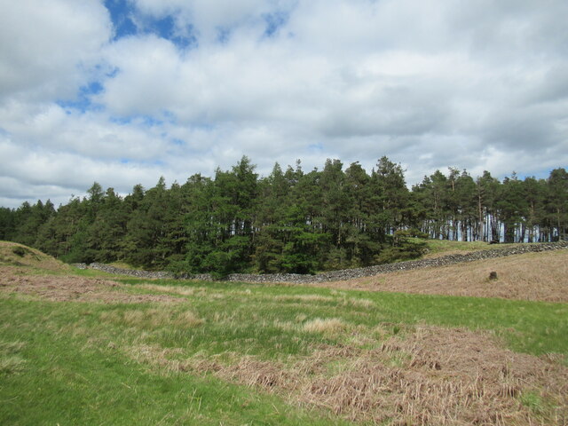
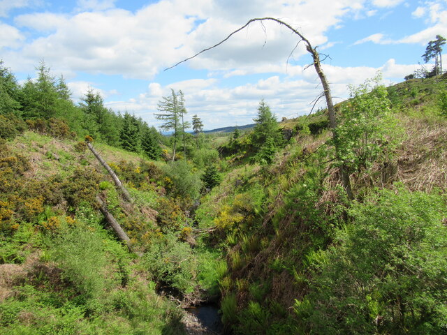
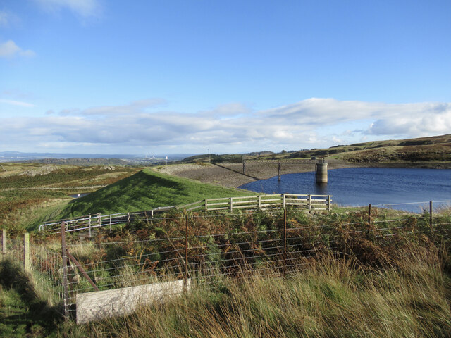
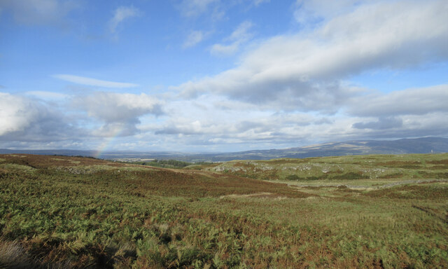
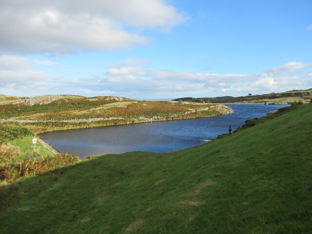
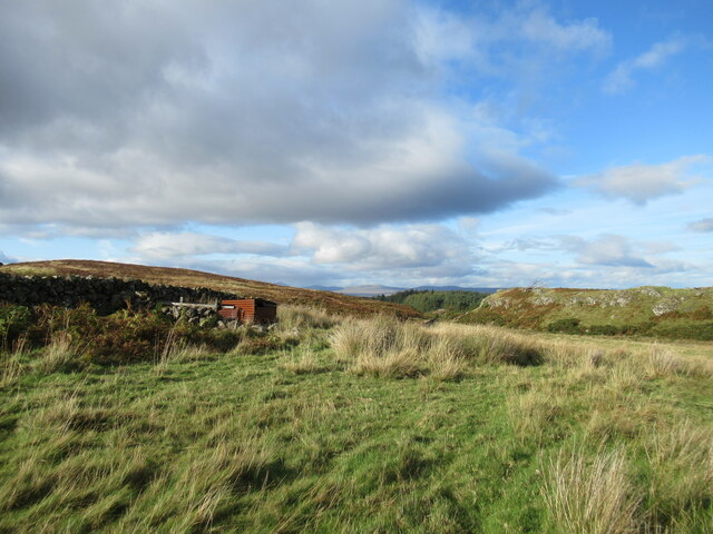
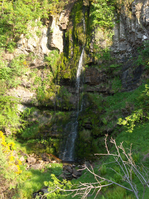
Shallow Tongue is a small woodland area located in Stirlingshire, Scotland. Situated near the village of Buchlyvie, it covers approximately 10 acres of land. The forest is characterized by its lush greenery and diverse range of trees, making it a haven for nature enthusiasts and hikers alike.
The woodland is primarily composed of native Scottish trees such as oak, birch, and rowan, which provide ample shade and shelter for the various wildlife species that call Shallow Tongue home. Visitors to the forest can expect to see a variety of birds, including woodpeckers and owls, as well as small mammals like squirrels and rabbits.
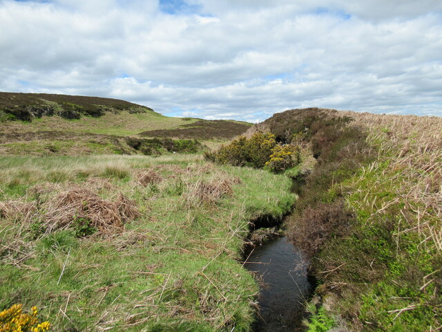
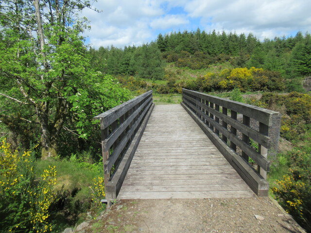
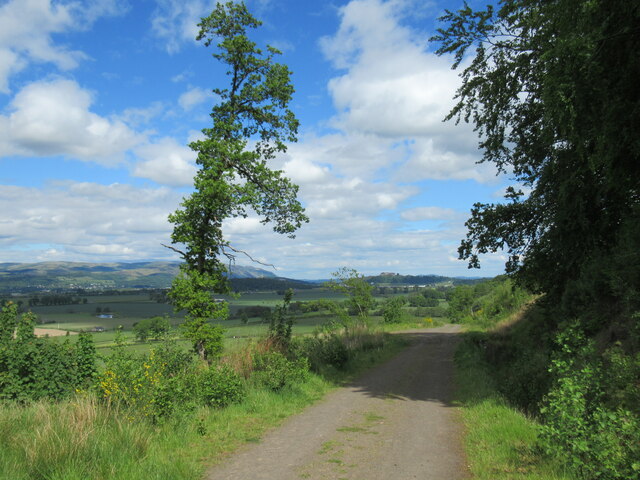
The forest is crisscrossed by a network of well-maintained trails, allowing visitors to explore its beauty at their own pace. These trails offer stunning views of the surrounding countryside and provide a peaceful and tranquil atmosphere for those seeking an escape from the hustle and bustle of everyday life.
Shallow Tongue is also home to a diverse range of plant species, including wildflowers such as bluebells and primroses, which carpet the forest floor in a riot of color during the spring and summer months.
Overall, Shallow Tongue in Stirlingshire is a delightful woodland retreat, offering visitors the chance to immerse themselves in the natural beauty of Scotland. Whether you are an avid hiker, a birdwatcher, or simply someone who enjoys the serenity of nature, this woodland is a must-visit destination.
If you have any feedback on the listing, please let us know in the comments section below.
Shallow Tongue Images
Images are sourced within 2km of 56.116103/-4.0400842 or Grid Reference NS7393. Thanks to Geograph Open Source API. All images are credited.


Shallow Tongue is located at Grid Ref: NS7393 (Lat: 56.116103, Lng: -4.0400842)
Unitary Authority: Stirling
Police Authority: Forth Valley
What 3 Words
///club.interests.blushes. Near Stirling
Nearby Locations
Related Wikis

Touch House
Touch House is a country house located 4 kilometres (2.5 mi) west of Stirling in central Scotland. It stands at the foot of the Touch Hills, on the south...

Gargunnock railway station
Gargunnock railway station served the village of Gargunnock, Stirling, Scotland, from 1856 to 1959 on the Forth and Clyde Junction Railway. == History... ==
Downie's Loup
Downie's Loup is a waterfall of Scotland located near the village of Gargunnock. == See also == Waterfalls of Scotland == References ==

Stirling (UK Parliament constituency)
Stirling is a county constituency of the House of Commons of the Parliament of the United Kingdom. It elects one Member of Parliament (MP) by the first...
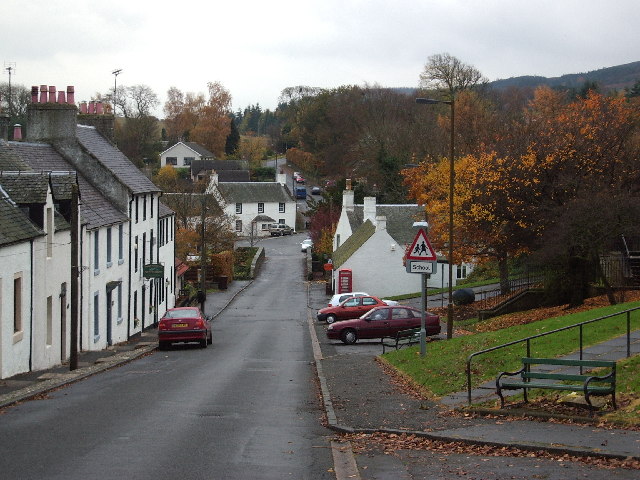
Gargunnock
Gargunnock is a small village in the Stirling council area with an active community trust, seven miles (eleven kilometres) west of Stirling, in Scotland...

Leckie Broch
Leckie Broch is an iron-age broch located in Stirlingshire, Scotland. == Location == Just above the confluence of two streams with deep gulleys on the...

Gillies Hill
Gillies Hill is located west of Stirling and the M9, south of Cambusbarron, and north of the Bannock Burn in Central Scotland. Gillies Hill covers a 140...

Cambusbarron
Cambusbarron is a village in Stirling, Scotland. In the 2001 census, it had a population of 3,224. There is evidence of settlement at the site since the...
Related Videos

Hiking to Gilmour's Linn waterfall & Charlie's cave (4K)
In this video, I show the path that is needed to take you to the Gilmour's Linn waterfall and Charlie's cave, in Cambusbarron, ...

#waterfalls #nature #travel #naturephotography #jeffbezosquotes #morninginspiration #mindfulness
Gilmour's Linn and Charlie's Cave, Sturling-Scotland Touch Hills, Stirling Gilmour's Linn is an exceptionally ...
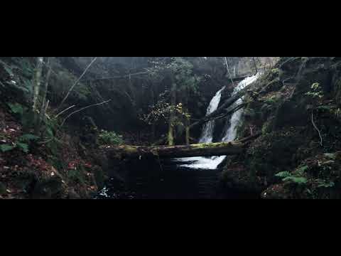
Gilmour’s Linn, and Charlie’s Cave 18-11-21
DJI pocket 2, Air 2.
Nearby Amenities
Located within 500m of 56.116103,-4.0400842Have you been to Shallow Tongue?
Leave your review of Shallow Tongue below (or comments, questions and feedback).