Crockmore Wood
Wood, Forest in Kirkcudbrightshire
Scotland
Crockmore Wood
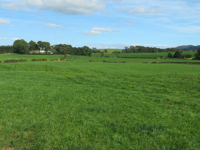
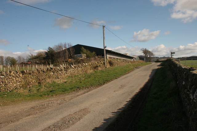
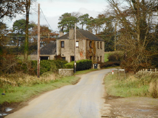
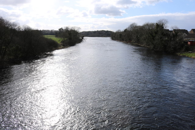
Crockmore Wood is a picturesque woodland located in the county of Kirkcudbrightshire, Scotland. It is nestled in the rolling hills and lush countryside, offering visitors a tranquil and serene experience. The wood covers an area of approximately 50 hectares and is managed by a local conservation group.
The wood is primarily composed of native tree species, including oak, beech, and ash, which provide a diverse and vibrant habitat for a range of wildlife. The dense canopy creates a cool and shaded environment, perfect for a leisurely stroll or a peaceful picnic. The forest floor is covered in a thick carpet of mosses and ferns, giving the wood an enchanting and mystical atmosphere.
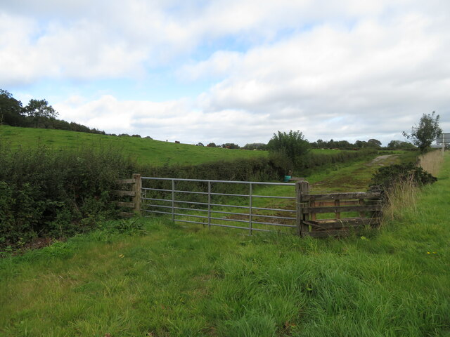
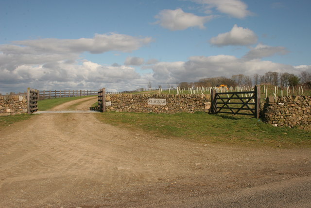
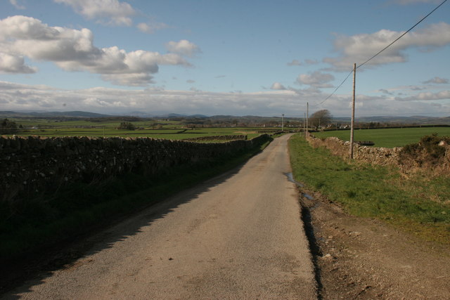
There are several well-maintained trails that wind their way through Crockmore Wood, offering visitors the opportunity to explore its natural beauty. Along these paths, one can discover a variety of plant and animal species, including woodpeckers, squirrels, and a multitude of wildflowers. The wood is also home to a small stream, which adds to its charm and provides an important water source for the local wildlife.
Crockmore Wood is a popular destination for nature enthusiasts, hikers, and families looking for a peaceful escape from the hustle and bustle of everyday life. The wood is easily accessible by car and offers ample parking facilities. Additionally, there are picnic areas and benches scattered throughout the wood, allowing visitors to relax and enjoy the stunning surroundings.
In conclusion, Crockmore Wood is a captivating woodland in the heart of Kirkcudbrightshire, offering a haven of tranquility and natural beauty for all who visit.
If you have any feedback on the listing, please let us know in the comments section below.
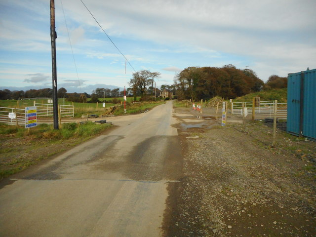
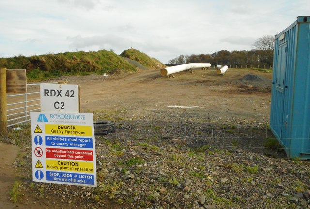
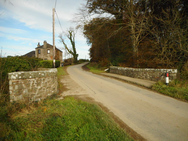
Crockmore Wood Images
Images are sourced within 2km of 54.902889/-3.9780719 or Grid Reference NX7358. Thanks to Geograph Open Source API. All images are credited.

Crockmore Wood is located at Grid Ref: NX7358 (Lat: 54.902889, Lng: -3.9780719)
Unitary Authority: Dumfries and Galloway
Police Authority: Dumfries and Galloway
What 3 Words
///wasps.poodle.tripped. Near Castle Douglas, Dumfries & Galloway
Nearby Locations
Related Wikis

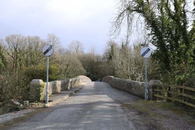
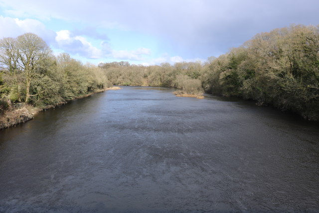
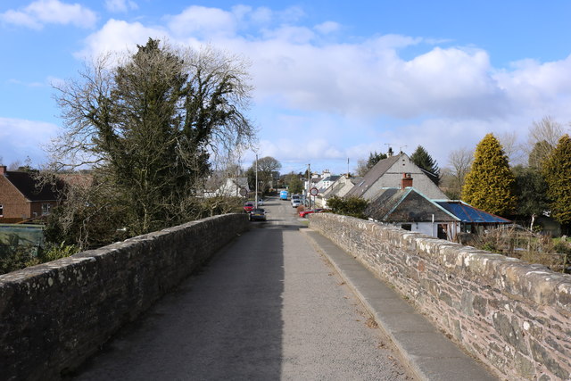
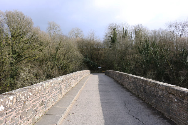
Bridge of Dee, Galloway
Bridge of Dee, Galloway is a settlement on the River Dee, Galloway. It lies on the A75 just west of Castle Douglas, and north-east of Kirkcudbright. The...

Bridge of Dee railway station
Bridge of Dee railway station served the settlement of Bridge of Dee, Dumfries and Galloway, Scotland from 1864 to 1949 on the Kirkcudbright Railway....

Airieland
Airieland is a farm in the historical county of Kirkcudbrightshire, in the Scottish council area of Dumfries and Galloway. It is found 3 miles (5 km) south...

Threave Gardens
Threave Garden and Estate is a series of gardens owned and managed by the National Trust for Scotland, located near Castle Douglas in the historical county...

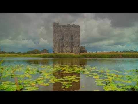
Threave Castle
Threave Castle is situated on an island in the River Dee, 2.5 kilometres (1.6 mi) west of Castle Douglas in the historical county of Kirkcudbrightshire...

Carlingwark Loch
Carlingwark Loch is a small freshwater loch in the historical county of Kirkcudbrightshire, Dumfries and Galloway, Scotland lying just south of Castle...
Ringford
Ringford is a village in the historical county of Kirkcudbrightshire in Dumfries and Galloway located at grid reference NX689578 beside the Tarff Water...

Gelston Castle
Gelston Castle, located near Castle Douglas in Kirkcudbrightshire in Dumfries and Galloway, Scotland, was built by Sir William Douglas of Castle Douglas...
Related Videos
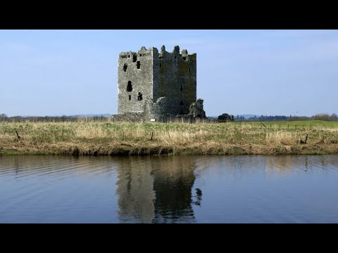
Threave Castle On Visit To Dumfries And Galloway Scotland
Tour Scotland travel video, with Scottish music, of Threave Castle on visit to Dumfries and Galloway. This Scottish castle is ...

Threave Castle Circuit nr Castle Douglas
This was a short walk round the Threave castle circuit unfortunately we were unable to get a boat out to the castle which is on a ...
Is this the castle on the Biscuit tin 🤷♂️ Pt2 Threave, #scotland #travelling #castle #carlife
That tired me out, expect a long walk if visiting, phew, breathless now, time for a cuppa.

Threave Castle
Quickshot with the Mavic Air 2.
Nearby Amenities
Located within 500m of 54.902889,-3.9780719Have you been to Crockmore Wood?
Leave your review of Crockmore Wood below (or comments, questions and feedback).