Lower Holme
Settlement in Yorkshire
England
Lower Holme
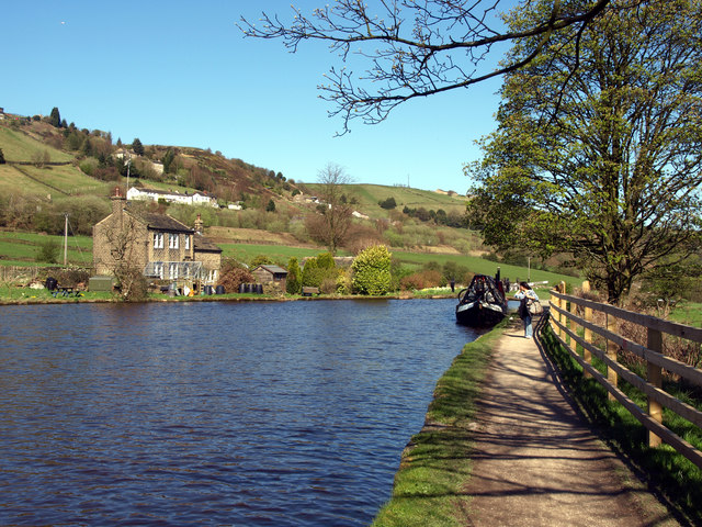
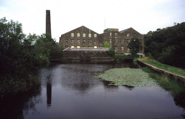
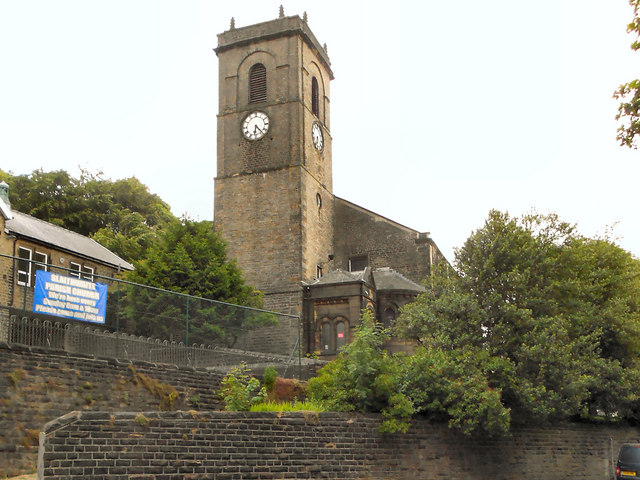
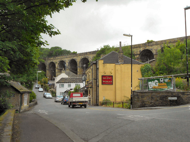
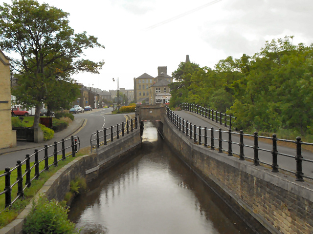
Lower Holme is a small village located in the county of Yorkshire, England. Situated in the picturesque Holme Valley, it is nestled between the larger towns of Holmfirth and Honley. The village is surrounded by rolling hills and offers stunning views of the Yorkshire countryside.
Lower Holme is known for its quaint charm and peaceful atmosphere, making it a popular destination for those seeking a tranquil retreat. The village is characterized by its traditional stone-built houses and narrow winding streets, which add to the area's rustic appeal.
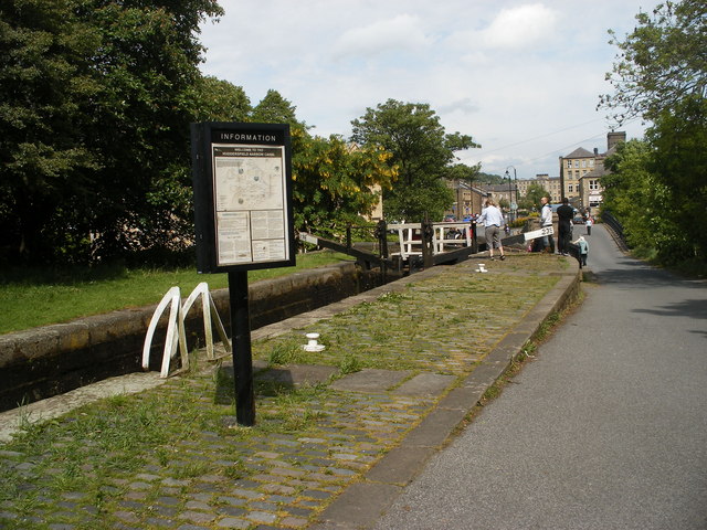
The village is home to a close-knit community, with a population of approximately 500 residents. The locals take pride in their surroundings and often organize events and festivals to celebrate the area's heritage. The traditional village pub serves as a social hub, providing a gathering place for residents and visitors alike.
Nature enthusiasts will find plenty to explore in the surrounding area. Lower Holme is located near the picturesque Holme Valley, which offers opportunities for hiking, cycling, and horseback riding. The nearby Holme Moss is a popular spot for birdwatching, with a variety of species to be spotted throughout the year.
Overall, Lower Holme offers a peaceful and idyllic setting for those looking to escape the hustle and bustle of city life. With its stunning natural scenery and welcoming community, it is a hidden gem in the heart of Yorkshire.
If you have any feedback on the listing, please let us know in the comments section below.
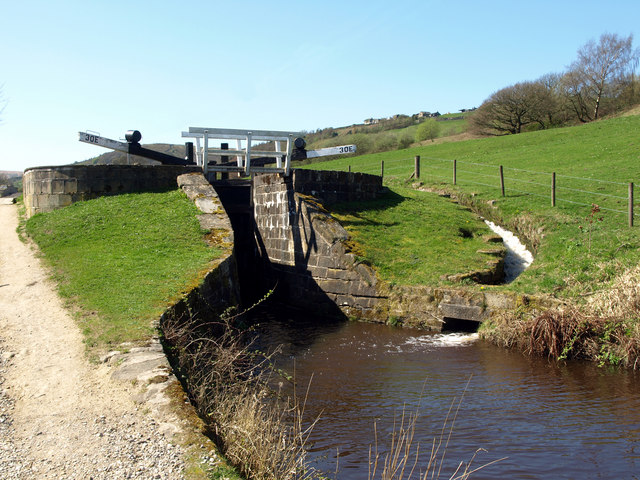
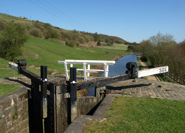
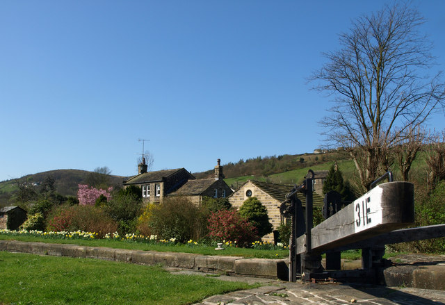
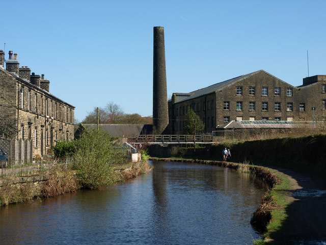
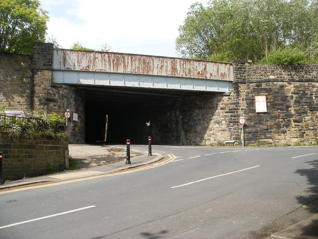
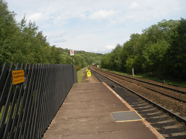
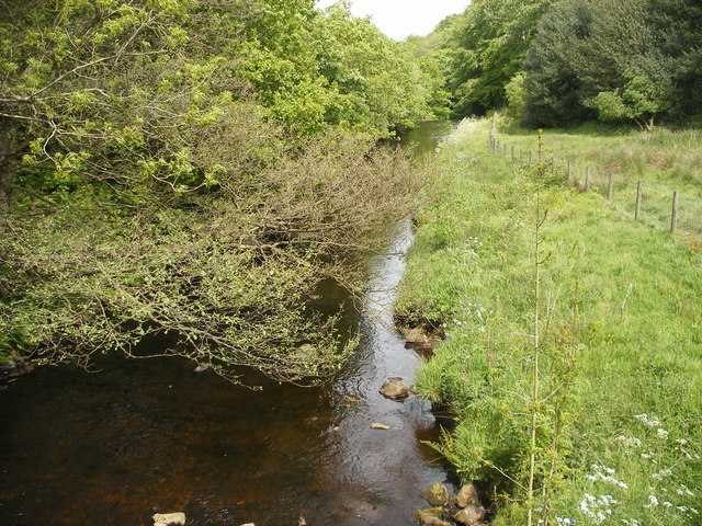
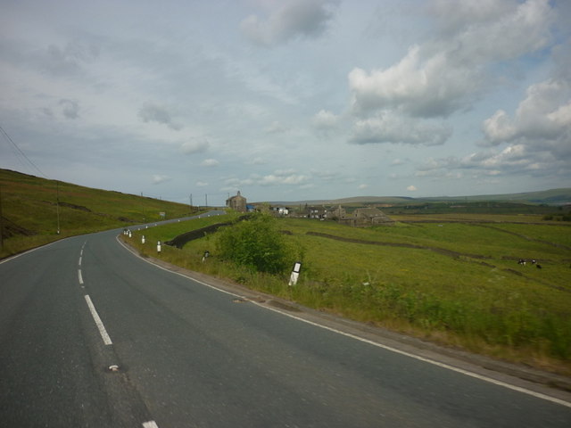
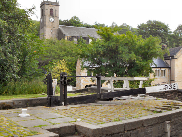
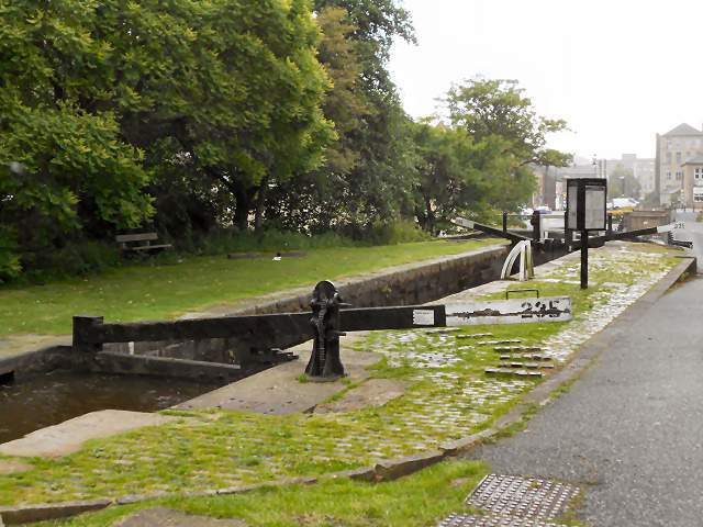
Lower Holme Images
Images are sourced within 2km of 53.622565/-1.8961114 or Grid Reference SE0614. Thanks to Geograph Open Source API. All images are credited.
Lower Holme is located at Grid Ref: SE0614 (Lat: 53.622565, Lng: -1.8961114)
Division: West Riding
Unitary Authority: Kirklees
Police Authority: West Yorkshire
What 3 Words
///coveted.outraged.meaty. Near Marsden, West Yorkshire
Nearby Locations
Related Wikis

Wilberlee
Wilberlee is a hamlet in the Colne Valley, in the Kirklees district, in the county of West Yorkshire, England. It is near the town of Huddersfield and...

Slaithwaite railway station
Slaithwaite railway station serves the town of Slaithwaite, West Yorkshire, England. The station is 4 miles (6 km) west of Huddersfield railway station...

Slaithwaite Town Hall
Slaithwaite Town Hall, also known as Empire House is a former municipal building in Lewisham Road in the town of Slaithwaite, West Yorkshire, England....

Slaithwaite
Slaithwaite (, locally 'Slaithwaite' ; Old Norse for "timber-fell thwaite/clearing") is a town and former civil parish in the Colne Valley area of the...

Moorside Edge
The Moorside Edge is a steeply sloping area of moorland at grid reference SE070154 just north of Slaithwaite and about 5 miles (8 km) west of Huddersfield...
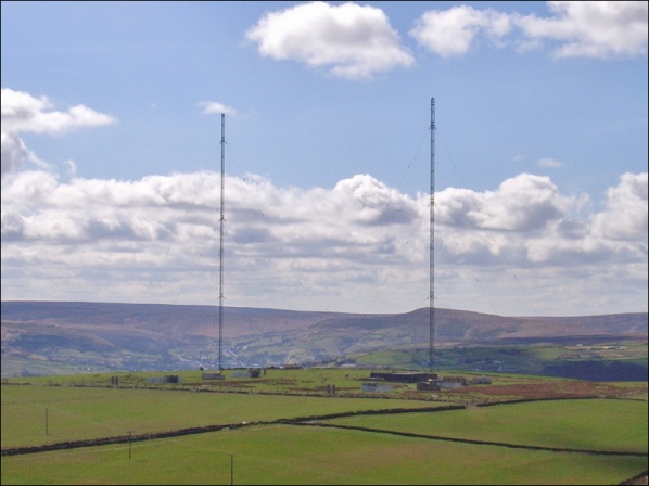
Moorside Edge transmitting station
Moorside Edge transmitting station, opened in 1931, was originally constructed to radiate the BBC's North Regional (from 17 May on 626 kHz) and National...

Pole Moor
Pole Moor is a hamlet between Outlane and Scammonden in Kirklees, England. It is situated on a high moorland plateau between Slaithwaite and Wholestone...

Colne Valley
The Colne Valley is a steep sided valley on the east flank of the Pennine Hills in the English county of West Yorkshire. It takes its name from the River...
Nearby Amenities
Located within 500m of 53.622565,-1.8961114Have you been to Lower Holme?
Leave your review of Lower Holme below (or comments, questions and feedback).