Lower Green Bank
Settlement in Lancashire Lancaster
England
Lower Green Bank
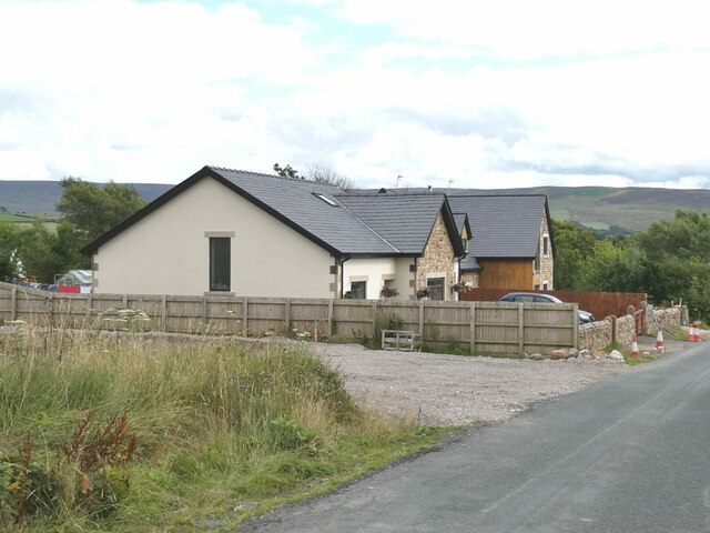
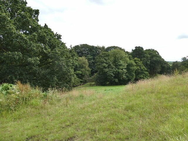
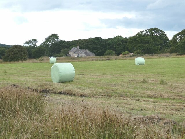
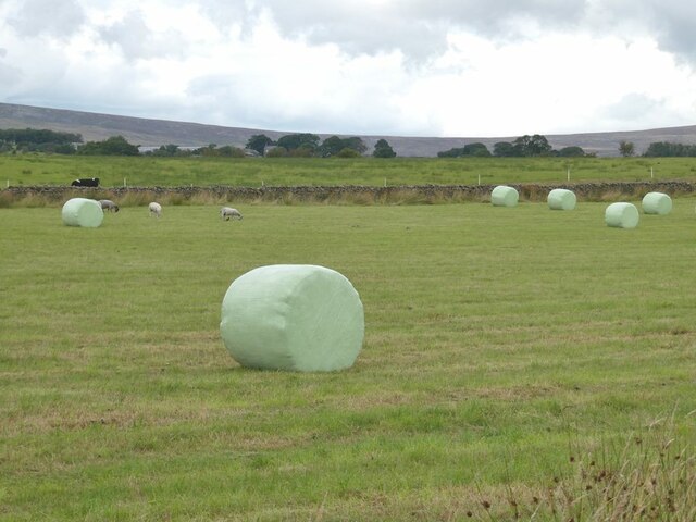
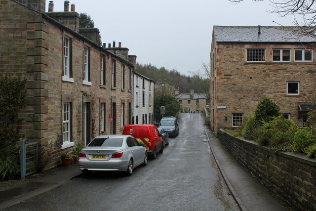
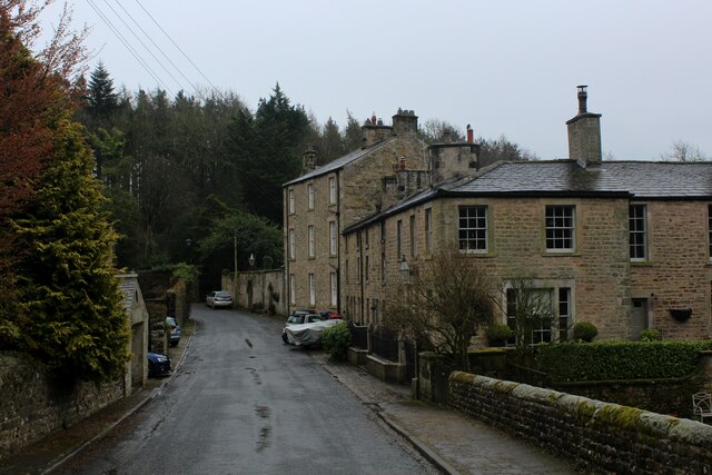
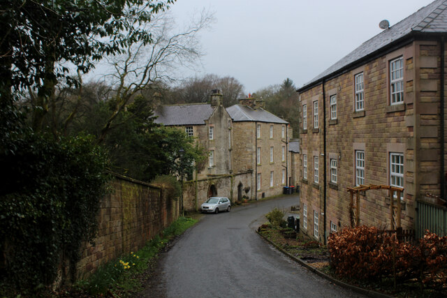
Lower Green Bank is a small village located in the county of Lancashire, England. Situated in the borough of Rossendale, it lies approximately 3 miles north of the town of Ramsbottom and 14 miles north of the city of Manchester. The village is nestled amidst the picturesque rolling hills of the West Pennine Moors, providing residents with stunning views and a tranquil environment.
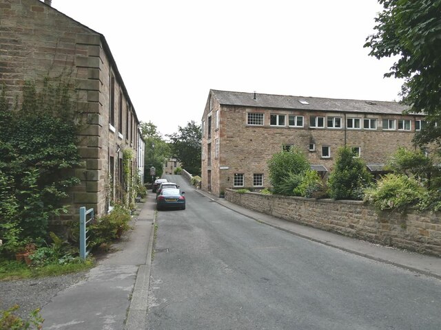
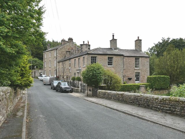
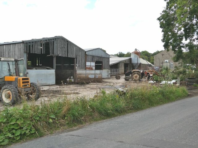
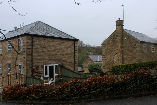
Lower Green Bank is primarily a residential area, consisting mainly of charming traditional stone-built houses. The village maintains a close-knit community atmosphere, with friendly locals and a sense of community spirit. Amenities within the village include a local pub and a small convenience store, providing basic necessities to residents.
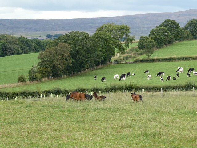
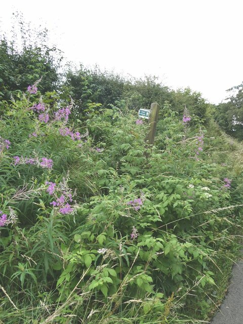
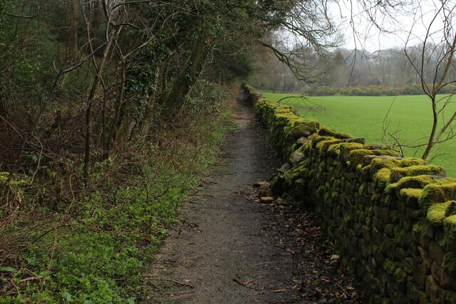
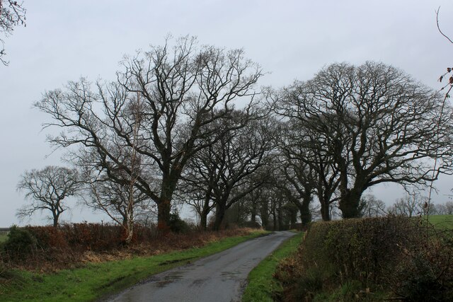
The village is surrounded by beautiful countryside, offering plenty of opportunities for outdoor activities and exploration. The nearby moors provide excellent walking and hiking trails, attracting outdoor enthusiasts from both within the village and beyond. The area is also known for its scenic cycling routes, attracting cyclists of all abilities.
For those seeking a bit of history and culture, Lower Green Bank is in close proximity to several notable landmarks. Within a short drive, residents can visit the historic market town of Ramsbottom, which boasts a range of independent shops, cafes, and restaurants. Additionally, the village is within easy reach of the East Lancashire Railway, a heritage steam train line that runs between Bury and Rawtenstall, offering a nostalgic journey through the beautiful countryside.
Overall, Lower Green Bank offers a peaceful and idyllic setting, perfect for those seeking a rural lifestyle within easy reach of urban amenities and attractions.
If you have any feedback on the listing, please let us know in the comments section below.
Lower Green Bank Images
Images are sourced within 2km of 53.984446/-2.7199598 or Grid Reference SD5254. Thanks to Geograph Open Source API. All images are credited.
Lower Green Bank is located at Grid Ref: SD5254 (Lat: 53.984446, Lng: -2.7199598)
Administrative County: Lancashire
District: Lancaster
Police Authority: Lancashire
What 3 Words
///solving.ruling.crumb. Near Bay Horse, Lancashire
Nearby Locations
Related Wikis

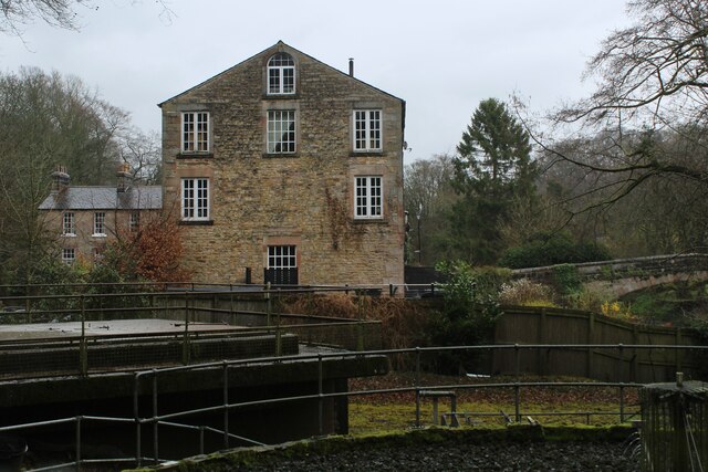
Dolphinholme Worsted Mill
Dolphinholme Worsted Mill is a textile mill located in the village of Dolphinholme, Lancashire. The Worsted Spinning Mill was built in 1795 by Thomas Hinde...

Dolphinholme
Dolphinholme is a historic village in Lancashire, North West England. == History == In the 18th and 19th centuries the village played an important part...
St Mark's Church, Dolphinholme
St Mark's Church is in the village of Dolphinholme, Lancashire, England. It is an active Anglican parish church in the deanery of Lancaster and Morecambe...

Christ Church, Over Wyresdale
Christ Church, Over Wyresdale, stands in an isolated position to the west of the village of Abbeystead, Lancashire, England. The church is recorded in...

Abbeystead disaster
The Abbeystead disaster occurred on the evening of 23 May 1984 when a methane gas explosion destroyed a waterworks' valve house at Abbeystead, Lancashire...

Wyre (UK Parliament constituency)
Wyre was a parliamentary constituency in the Wyre district of Lancashire. It returned one Member of Parliament (MP) to the House of Commons of the Parliament...
Wyresdale Abbey
Wyresdale Abbey was a short-lived medieval monastic house in Over Wyresdale, Lancashire, England. It was founded around 1170 or a little later and ceased...

Abbeystead
Abbeystead is a small hamlet located in the Forest of Bowland Area of Outstanding Natural Beauty, in Lancashire, England. Abbeystead lies close to the...
Nearby Amenities
Located within 500m of 53.984446,-2.7199598Have you been to Lower Green Bank?
Leave your review of Lower Green Bank below (or comments, questions and feedback).