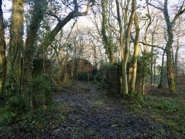
Starbank Wood

Wood, Forest in Lancashire Lancaster

England

Starbank Wood

Lower Dolphinholme The old woollen mill on the right has been converted into apartments where I once attended creative writing classes.
Lower Dolphinholme Credit: Oliver Dixon

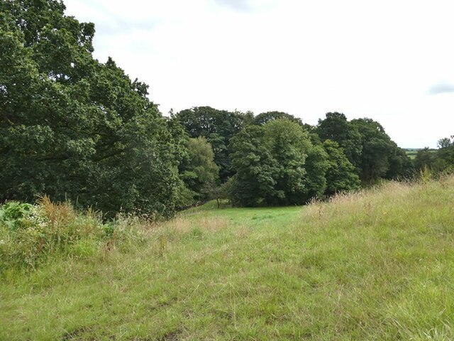
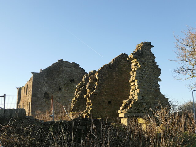
Starbank Wood is a picturesque woodland located in Lancashire, England. Situated near the village of Starbank, this enchanting forest is a popular destination for nature enthusiasts and outdoor adventurers alike. The wood covers an area of approximately 50 hectares, offering visitors a diverse range of flora and fauna to explore.

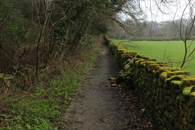
The woodland is primarily composed of deciduous trees, including oak, beech, and birch, which create a vibrant and ever-changing landscape throughout the seasons. The forest floor is adorned with a rich carpet of wildflowers, adding bursts of color to the greenery. Various species of ferns and mosses thrive in the damp and shaded areas, creating a tranquil atmosphere.

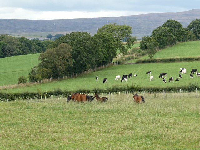
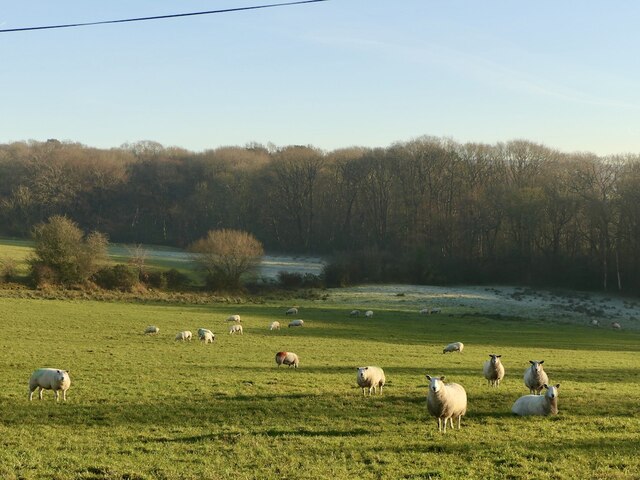
Starbank Wood is home to a variety of wildlife, making it a haven for wildlife enthusiasts. Birdwatchers can spot a multitude of species, including woodpeckers, nuthatches, and tawny owls. Squirrels and rabbits are commonly seen scurrying among the trees, while lucky visitors may even catch a glimpse of a deer or fox.

The wood offers a network of well-maintained walking trails, allowing visitors to explore the area at their own pace. These paths wind through the forest, leading to open clearings and secluded glades, providing opportunities for picnicking and enjoying the peaceful surroundings.

Starbank Wood also boasts a small visitor center, providing information about the wood's history, wildlife, and conservation efforts. Educational programs and guided walks are occasionally organized to enhance visitors' understanding and appreciation of the woodland ecosystem.

Overall, Starbank Wood is a captivating natural gem, offering visitors a chance to immerse themselves in the beauty and tranquility of Lancashire's woodlands.

If you have any feedback on the listing, please let us know in the comments section below.

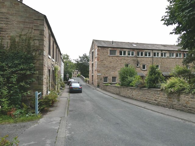
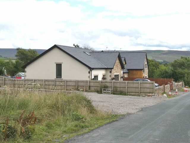
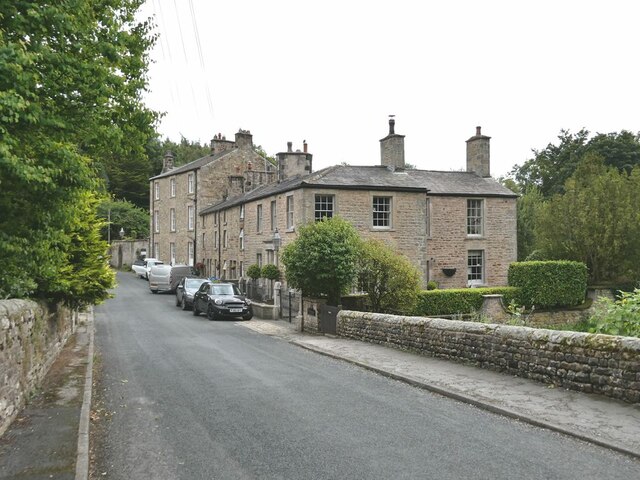
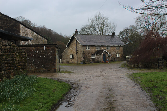
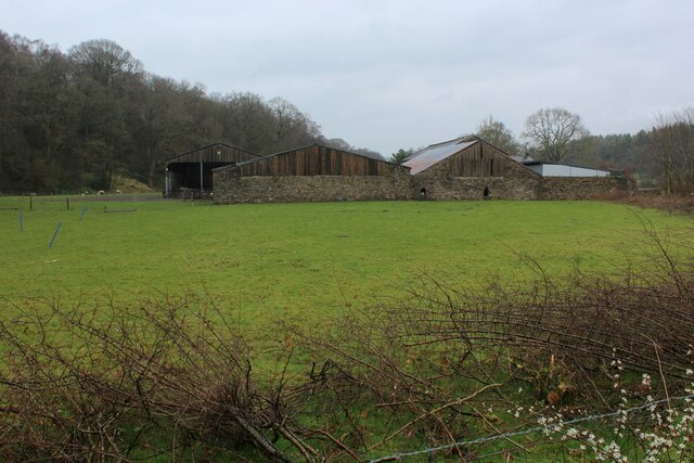
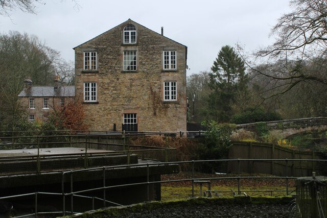
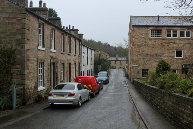
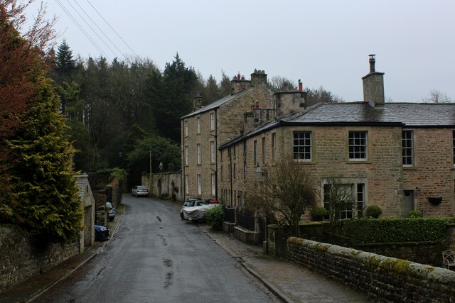
Starbank Wood Images

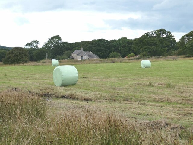
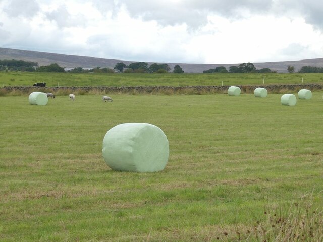
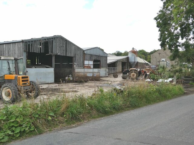
Images are sourced within 2km of 53.98574/-2.728995 or Grid Reference SD5254. Thanks to Geograph Open Source API. All images are credited.

Lower Dolphinholme The old woollen mill on the right has been converted into apartments where I once attended creative writing classes.
Lower Dolphinholme
The old woollen mill on the right has been converted into apartments where I once attended creative writing classes.
New housing at Dolphinholme On the south side of the village. The moors of the southern half of the Forest of Bowland on the skyline.
New housing at Dolphinholme
On the south side of the village. The moors of the southern half of the Forest of Bowland on the skyline.
Lower Dolphinholme Housing dating from the days when a woollen mill operated at Lower Dolphinholme.
Lower Dolphinholme
Housing dating from the days when a woollen mill operated at Lower Dolphinholme.
Horse and cows In the fields near Belvidere House Farm. The moors at the head of Wyresdale on the skyline.
Horse and cows
In the fields near Belvidere House Farm. The moors at the head of Wyresdale on the skyline.
Valley of the Damas Gill Wooded valley, tributary of the River Wyre.
Valley of the Damas Gill
Wooded valley, tributary of the River Wyre.
Higher Caw House Farm Field with bales in the foreground.
Higher Caw House Farm
Field with bales in the foreground.
Field with bales Near Higher Caw House Farm. The moors of the Forest of Bowland on the skyline.
Field with bales
Near Higher Caw House Farm. The moors of the Forest of Bowland on the skyline.
Farmyard at Lower Caw House Farm Beside Trough Road.
Farmyard at Lower Caw House Farm
Beside Trough Road.
Ammunition store, Swine Hill Wood Some of the bases or hardstanding in this former military site is being used to store round silage bales.
Ammunition store, Swine Hill Wood
Some of the bases or hardstanding in this former military site is being used to store round silage bales.
Ellel Crag Ruin near to an old quarry
Ellel Crag
Ruin near to an old quarry
Field near Wellington Wood
Wyreside Hall 17th century Grade II listed hall, in use as a luxury hotel.
Wyreside Hall
17th century Grade II listed hall, in use as a luxury hotel.
Coreless Mill House Passed by on the Wyre Way long distance footpath as it continues north towards Dolphinholme
Coreless Mill House
Passed by on the Wyre Way long distance footpath as it continues north towards Dolphinholme
Farm Outbuildings at Coreless Mill Passed by on the Wyre Way long distance footpath
Farm Outbuildings at Coreless Mill
Passed by on the Wyre Way long distance footpath
Approaching Lower Dolphinholme on the Wyre Way Passing a small sewage plant, and an old 18th Century woollen mill, now converted into apartments.
Approaching Lower Dolphinholme on the Wyre Way
Passing a small sewage plant, and an old 18th Century woollen mill, now converted into apartments.
Lower Dolphinholme Adopted by the Wyre Way long distance footpath approaching Dolphinholme Bridge
Lower Dolphinholme
Adopted by the Wyre Way long distance footpath approaching Dolphinholme Bridge
Looking South from Dolphinholme Bridge Road adopted by the Wyre Way long distance footpath
Looking South from Dolphinholme Bridge
Road adopted by the Wyre Way long distance footpath
Wyre Way beside Mill Wood Woodland to one side and a moss covered wall on the other, sees the long distance heading north towards the village of Dolphinholme
Wyre Way beside Mill Wood
Woodland to one side and a moss covered wall on the other, sees the long distance heading north towards the village of Dolphinholme
Show me another place!

Starbank Wood is located at Grid Ref: SD5254 (Lat: 53.98574, Lng: -2.728995)

Administrative County: Lancashire

District: Lancaster

Police Authority: Lancashire

What 3 Words

///landlords.slippery.deprives. Near Bay Horse, Lancashire

Related Wikis

Dolphinholme

Dolphinholme is a historic village in Lancashire, North West England. == History == In the 18th and 19th centuries the village played an important part...

Dolphinholme Worsted Mill

Dolphinholme Worsted Mill is a textile mill located in the village of Dolphinholme, Lancashire. The Worsted Spinning Mill was built in 1795 by Thomas Hinde...

St Mark's Church, Dolphinholme

St Mark's Church is in the village of Dolphinholme, Lancashire, England. It is an active Anglican parish church in the deanery of Lancaster and Morecambe...

Wyre (UK Parliament constituency)

Wyre was a parliamentary constituency in the Wyre district of Lancashire. It returned one Member of Parliament (MP) to the House of Commons of the Parliament...

Christ Church, Over Wyresdale

Christ Church, Over Wyresdale, stands in an isolated position to the west of the village of Abbeystead, Lancashire, England. The church is recorded in...

Abbeystead disaster

The Abbeystead disaster occurred on the evening of 23 May 1984 when a methane gas explosion destroyed a waterworks' valve house at Abbeystead, Lancashire...

Lancaster (Forton) Services

Lancaster (Forton) services is a motorway service station, between junctions 32 and 33 of the M6 motorway in England. The nearest city is Lancaster, about...

Bay Horse

Bay Horse is a sparsely populated hamlet in the English county of Lancashire. It lies between Lancaster and Preston to the north and south respectively...

Nearby Amenities

Located within 500m of 53.98574,-2.728995
Generator Method: photovoltaic
Generator Orientation: east
Generator Output Electricity: yes
Generator Solar Modules: 10
Generator Source: solar
Generator Type: solar_photovoltaic_panel
Location: roof
Power: generator
Lat/Long: 53.9886496/-2.7249969
Generator Method: photovoltaic
Generator Orientation: west
Generator Output Electricity: yes
Generator Solar Modules: 10
Generator Source: solar
Generator Type: solar_photovoltaic_panel
Location: roof
Power: generator
Lat/Long: 53.988647/-2.7250615
Generator Method: photovoltaic
Generator Orientation: south
Generator Output Electricity: yes
Generator Solar Modules: 20
Generator Source: solar
Generator Type: solar_photovoltaic_panel
Location: roof
Power: generator
Lat/Long: 53.9888243/-2.7252886
The data included in this document is from www.openstreetmap.org. The data is made available under ODbL.

Have you been to Starbank Wood?

Leave your review of Starbank Wood below (or comments, questions and feedback).