Lower Gresham

Settlement in Norfolk North Norfolk

England

Lower Gresham

Repainted Sustead village sign The sign depicts the three dolphins of the Damme family and "the manor of Damms in Sustede" in the reign of Queen Elizabeth I.
Repainted Sustead village sign Credit: Jane Rackham

Lower Gresham is a small village located in the county of Norfolk, England. Situated approximately 18 miles north of the city of Norwich, Lower Gresham is part of the North Norfolk district.

The village is surrounded by picturesque countryside, offering residents and visitors alike the opportunity to enjoy beautiful rural landscapes and a tranquil atmosphere. Lower Gresham is characterized by its traditional English charm, with a scattering of old stone houses and thatched cottages lining its streets.

Despite its small size, Lower Gresham has a strong sense of community, with a close-knit population that actively participates in local events and activities. The village features a church, St. Mary's, which is a focal point for religious gatherings and serves as a historical landmark. The church dates back to the 14th century and showcases stunning architectural details.

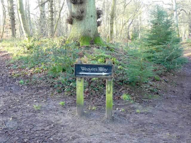
The village is well-connected to nearby towns and cities, with regular bus services providing transportation links. The surrounding area offers a range of amenities and attractions, including nature reserves, country pubs, and walking trails, making it an appealing destination for outdoor enthusiasts.

Lower Gresham is also conveniently located near the popular Norfolk coastline. Within a short drive, residents and visitors can reach stunning sandy beaches, such as Cromer and Sheringham, where they can enjoy coastal walks and indulge in fresh seafood.

In summary, Lower Gresham is a charming village in Norfolk, England, offering a peaceful and idyllic setting, a strong sense of community, and easy access to the beautiful Norfolk countryside and coastline.

If you have any feedback on the listing, please let us know in the comments section below.

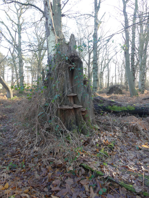
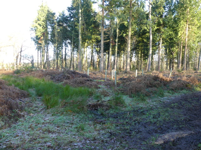
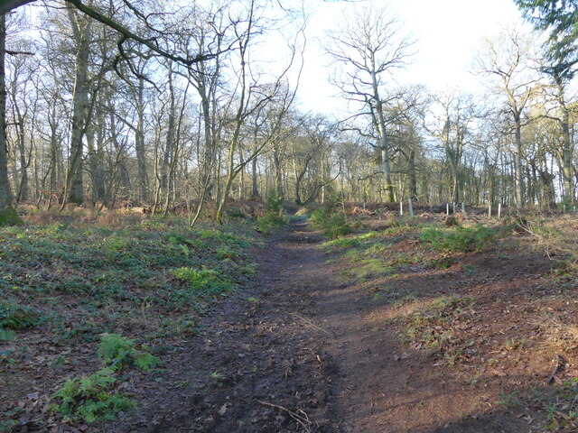
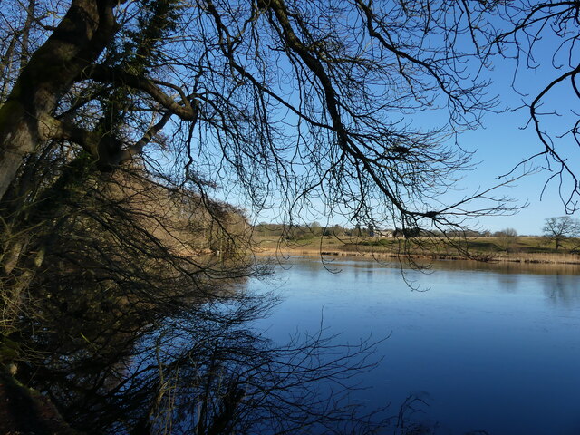
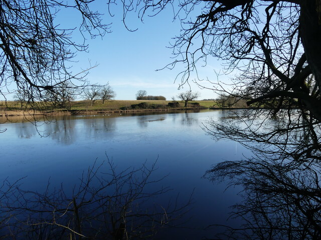
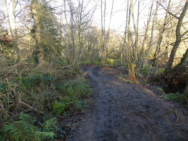
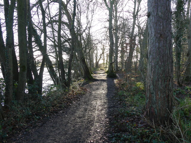
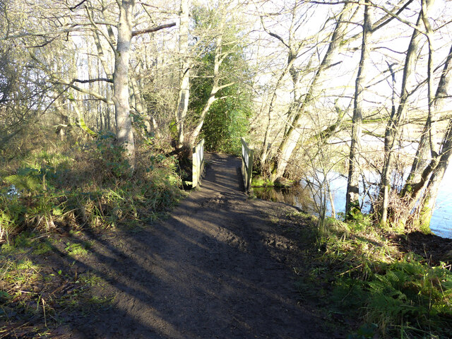
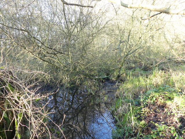
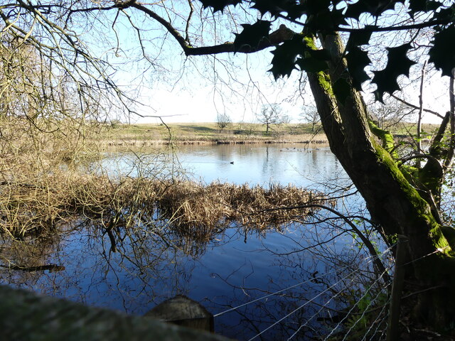
Lower Gresham Images

Images are sourced within 2km of 52.89826/1.2311443 or Grid Reference TG1738. Thanks to Geograph Open Source API. All images are credited.

Repainted Sustead village sign The sign depicts the three dolphins of the Damme family and "the manor of Damms in Sustede" in the reign of Queen Elizabeth I.
Repainted Sustead village sign
The sign depicts the three dolphins of the Damme family and "the manor of Damms in Sustede" in the reign of Queen Elizabeth I.
Looking out from Common Plantation
East on Weavers Way in Common Plantation Weavers Way runs along the line of former Midland and Great Northern Joint Railway between Melton Constable and Great Yarmouth, which closed in 1959.
East on Weavers Way in Common Plantation
Weavers Way runs along the line of former Midland and Great Northern Joint Railway between Melton Constable and Great Yarmouth, which closed in 1959.
Heading towards Susted Road on Weavers Way Weavers Way runs along the line of former Midland and Great Northern Joint Railway between Melton Constable and Great Yarmouth, which closed in 1959.
Heading towards Susted Road on Weavers Way
Weavers Way runs along the line of former Midland and Great Northern Joint Railway between Melton Constable and Great Yarmouth, which closed in 1959.
Fungi on dead tree
Fungi on dead tree
Replanting in area of Conifer
West on Weavers Way Weavers Way runs along the line of former Midland and Great Northern Joint Railway between Melton Constable and Great Yarmouth, which closed in 1959.
West on Weavers Way
Weavers Way runs along the line of former Midland and Great Northern Joint Railway between Melton Constable and Great Yarmouth, which closed in 1959.
Weavers Way sign Weavers Way runs along the line of former Midland and Great Northern Joint Railway between Melton Constable and Great Yarmouth, which closed in 1959.
Weavers Way sign
Weavers Way runs along the line of former Midland and Great Northern Joint Railway between Melton Constable and Great Yarmouth, which closed in 1959.
Northerly view of Felbrigg Pond
Felbrigg Pond
Felbrigg Pond
Gadwall on Felbrigg Pond
Muddy path round Felbrigg Pond
Path round Felbrigg Pond
Mallard beside path
Mallard beside path
Approaching bridge over a stream that drains into Felbrigg Pond
Stream draining from wet scrub area
Felbrigg Pond seen from bridge
View from birdwatching screen
Show me another place!

Lower Gresham is located at Grid Ref: TG1738 (Lat: 52.89826, Lng: 1.2311443)

Administrative County: Norfolk

District: North Norfolk

Police Authority: Norfolk

What 3 Words

///debater.unrealistic.dote. Near Sheringham, Norfolk

Nearby Locations

Lower Gresham

Related Wikis

Gresham, Norfolk

Gresham is a village and civil parish in North Norfolk, England, five miles (8 km) south-west of Cromer. A predominantly rural parish, Gresham centres...

Gresham Castle

Gresham Castle is located south of the village of Gresham in the north of the English county of Norfolk. The medieval castle was actually a fortified manor...

Bessingham

Bessingham is a village and former civil parish, now in the parish of Sustead, in the North Norfolk district of the English county of Norfolk. It lies...

Aylmerton

Aylmerton is a village in the county of Norfolk, England. It is in the area of North Norfolk and lies 2.2 miles (3.5 km) south of the North Sea, 3.2 miles...

Nearby Amenities

Located within 500m of 52.89826,1.2311443
Bus Stop
Green, adj
Naptan AtcoCode: 2900G103
Naptan Bearing: SE
Naptan CommonName: Green
Naptan Indicator: adj
Naptan Landmark: Lower Bodham Road
Naptan Locality: Gresham
Naptan NaptanCode: nfoatawp
Naptan Street: Cromer Road
Naptan Verified: no
Source: naptan_import
Lat/Long: 52.8983834/1.2308465
Green, opp
Naptan AtcoCode: 2900G107
Naptan Bearing: W
Naptan BusStopType: CUS
Naptan CommonName: Green
Naptan Indicator: opp
Naptan Locality: Gresham
Naptan NaptanCode: nfoatdaj
Naptan Street: Church Lane
Naptan Verified: no
Source: naptan_import
Lat/Long: 52.8987927/1.2296872
Lower Gresham
Is In: Norfolk,England,UK
Place: hamlet
Lat/Long: 52.8979732/1.2325462
Church Farm
Capacity: 5
Phone: +44 1263570052
Tourism: caravan_site
Lat/Long: 52.8994581/1.2275449
Power: pole
Lat/Long: 52.8974605/1.2372836
Power: pole
Lat/Long: 52.8976109/1.2359344
Power: pole
Lat/Long: 52.8977521/1.2345162
Power: pole
Lat/Long: 52.8978876/1.2331745
Give Way
Lat/Long: 52.8982475/1.2311642
Give Way
Lat/Long: 52.8983804/1.2309804
Give Way
Lat/Long: 52.8984332/1.2310133
Give Way
Lat/Long: 52.8984232/1.2308148
Power: pole
Lat/Long: 52.9017258/1.2285215
Power: pole
Lat/Long: 52.9007373/1.2286153
Power: pole
Lat/Long: 52.9002171/1.2297741
Power: pole
Lat/Long: 52.8996872/1.2309234
Power: pole
Lat/Long: 52.8991517/1.2320352
The data included in this document is from www.openstreetmap.org. The data is made available under ODbL.

Have you been to Lower Gresham?

Leave your review of Lower Gresham below (or comments, questions and feedback).