Cote Bottom
Valley in Sussex Worthing
England
Cote Bottom
Cote Bottom is a small hamlet located in the county of Sussex, England. Situated in a picturesque valley surrounded by rolling hills and lush greenery, it is part of the wider area known as Sussex Valley. The hamlet is characterized by its tranquil and idyllic setting, offering a peaceful retreat for residents and visitors alike.
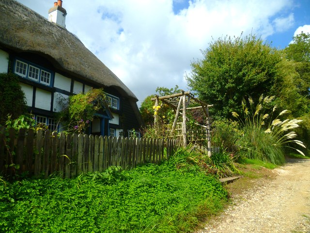
Cote Bottom is home to a small community, with a handful of residential properties and a few local amenities. The architecture in the area is predominantly traditional, with charming cottages and farmhouses dotting the landscape. The residents of Cote Bottom enjoy a close-knit community spirit and a strong sense of local pride.
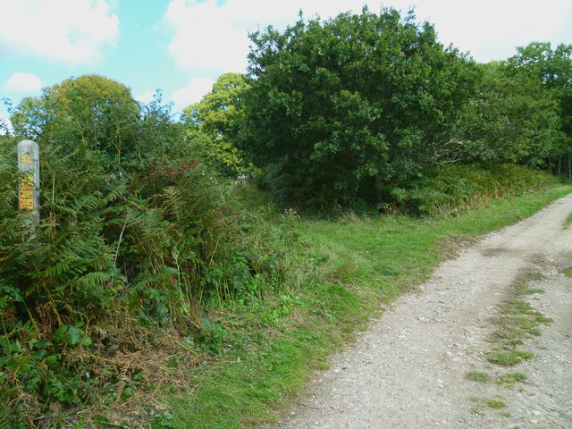
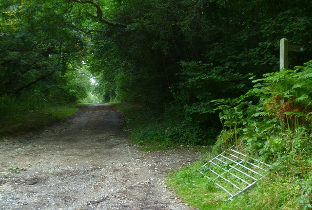
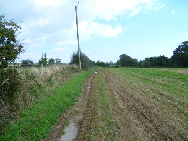
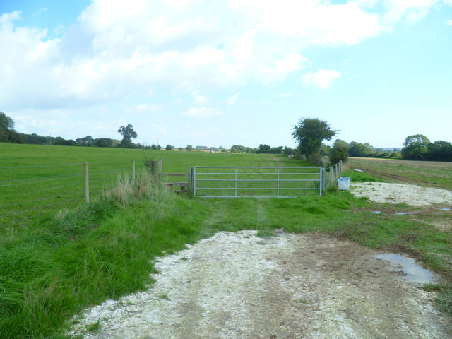
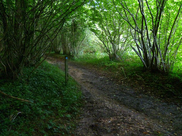
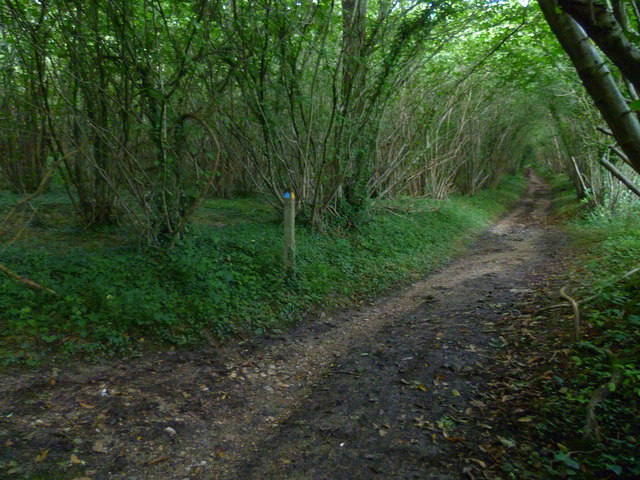
The natural beauty of Cote Bottom is a major draw for tourists. The valley boasts stunning views and ample opportunities for outdoor activities such as hiking, cycling, and birdwatching. The area is home to an array of wildlife, including deer, foxes, and a variety of bird species.
In addition to its natural attractions, Cote Bottom is also within close proximity to several historical sites and cultural landmarks. Nearby attractions include historic castles, stately homes, and charming villages, offering visitors a glimpse into the region's rich heritage.
Overall, Cote Bottom in Sussex Valley is a delightful and peaceful hamlet, offering a tranquil escape from the hustle and bustle of modern life. Its natural beauty, strong community spirit, and proximity to historical and cultural attractions make it an appealing destination for both residents and visitors seeking a serene and picturesque setting.
If you have any feedback on the listing, please let us know in the comments section below.
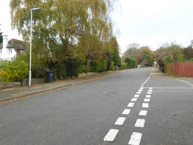
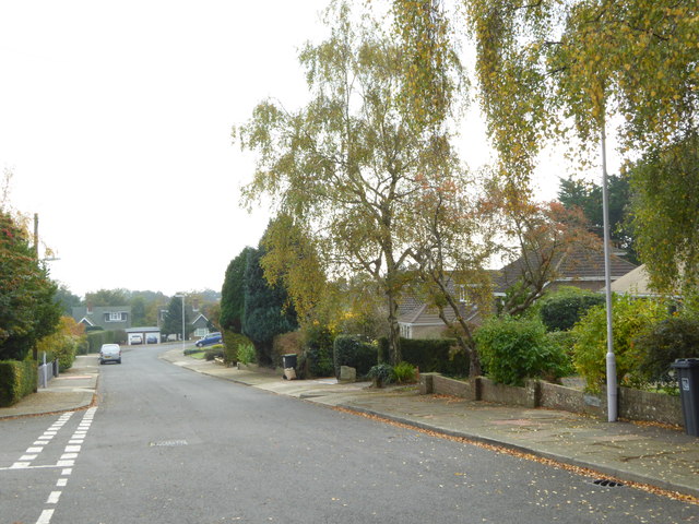
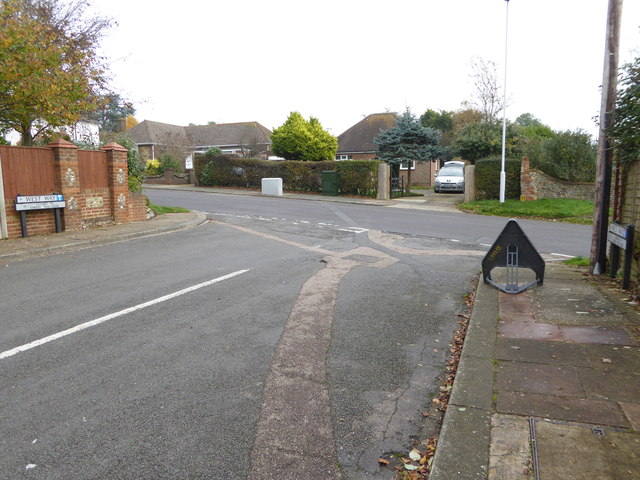
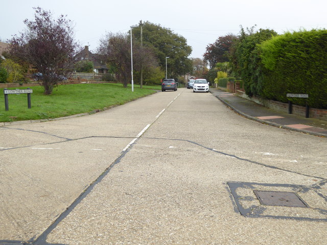
Cote Bottom Images
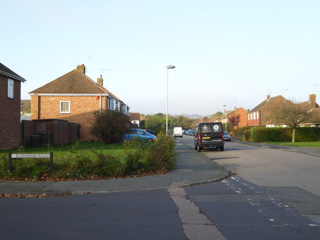
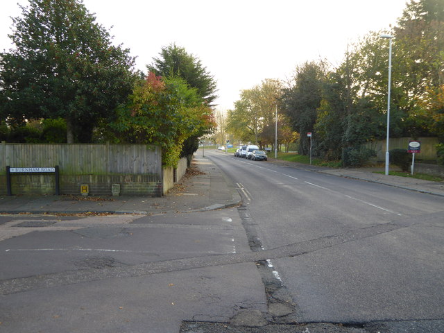
Images are sourced within 2km of 50.847165/-0.41652794 or Grid Reference TQ1106. Thanks to Geograph Open Source API. All images are credited.
Cote Bottom is located at Grid Ref: TQ1106 (Lat: 50.847165, Lng: -0.41652794)
Administrative County: West Sussex
District: Worthing
Police Authority: Sussex
What 3 Words
///general.plausible.burden. Near Findon, West Sussex
Nearby Locations
Related Wikis

Cote, West Sussex
Cote (also Walcote or Coate) was a hamlet in the former parish of Durrington, West Sussex (now a suburb of Worthing), England. It is 3 miles (4.8 km) northwest...

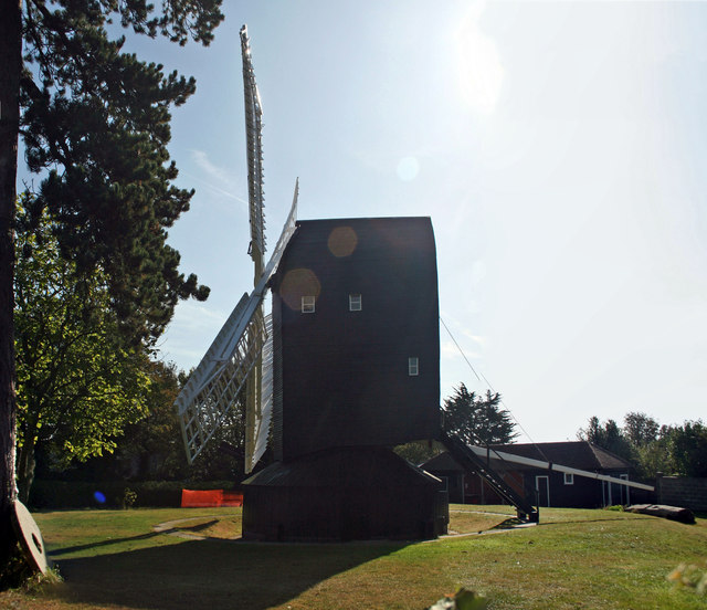
High Salvington Windmill
Durrington or High Salvington Windmill is a Grade II listed post mill in High Salvington, Sussex that has been restored and is in full working order....
High Salvington
High Salvington is a neighbourhood of Worthing, in the borough of Worthing in West Sussex, England. It is centred 2.5 miles (4.0 km) northwest of the town...
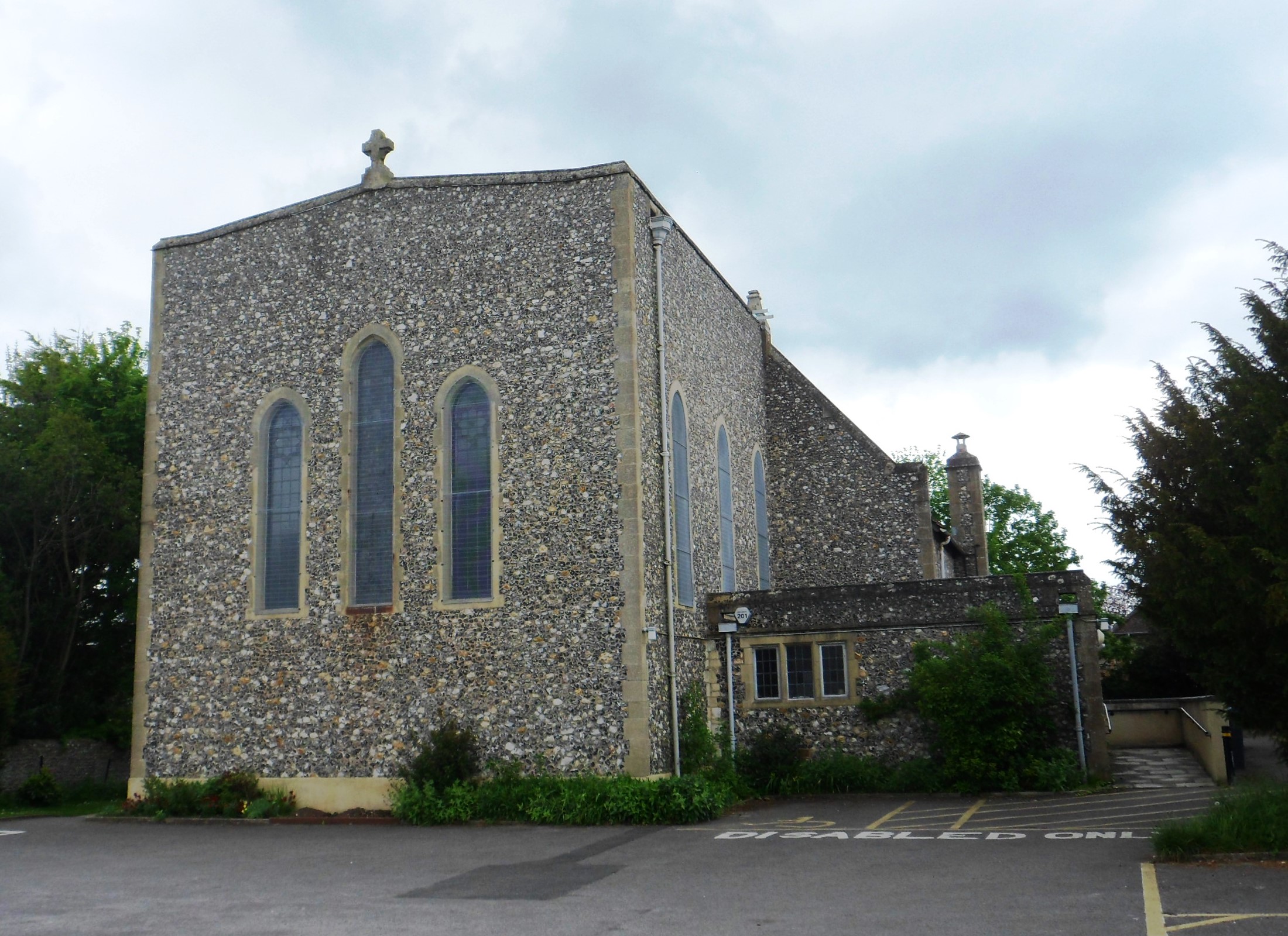
St Symphorian's Church, Durrington
St Symphorian's Church is an Anglican church in the Durrington area of the borough of Worthing, one of seven local government districts in the English...
Nearby Amenities
Located within 500m of 50.847165,-0.41652794Have you been to Cote Bottom?
Leave your review of Cote Bottom below (or comments, questions and feedback).