Bell Slack
Valley in Yorkshire Scarborough
England
Bell Slack
Bell Slack is a small village located in the picturesque Valley of Yorkshire, England. Situated amidst rolling hills and lush greenery, this idyllic settlement is known for its serene and tranquil atmosphere. It is positioned within the larger region of Yorkshire Dales National Park, which further enhances its natural beauty and appeal.
The village itself is characterized by its charming stone cottages, which date back to the 18th and 19th centuries and add to the historical charm of the area. The local architecture reflects the traditional Yorkshire style, with slate roofs and wooden beams. The village also features a quaint church, St. Mary’s, which stands as a testament to its rich heritage.
Bell Slack is surrounded by stunning landscapes, making it a haven for outdoor enthusiasts. The nearby moors and dales offer ample opportunities for hiking, cycling, and horseback riding. The area is also renowned for its abundance of wildlife, including rare bird species and wildflowers, which attract nature lovers and birdwatchers from afar.
Despite its rural setting, Bell Slack is within easy reach of modern amenities. The village is home to a cozy pub, The Bell Inn, where locals and visitors can enjoy a pint of local ale and hearty traditional meals. For more extensive amenities, the nearby town of Skipton provides a range of shops, restaurants, and cultural attractions.
In summary, Bell Slack in Yorkshire Valley is a charming village that offers a peaceful escape in the heart of the stunning Yorkshire Dales. Its natural beauty, historical architecture, and outdoor activities make it an ideal destination for those seeking a tranquil retreat in a picturesque setting.
If you have any feedback on the listing, please let us know in the comments section below.
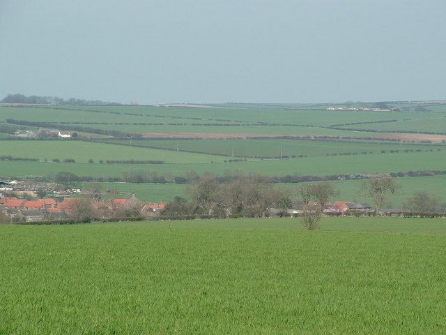
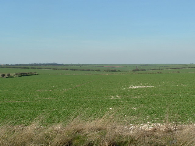
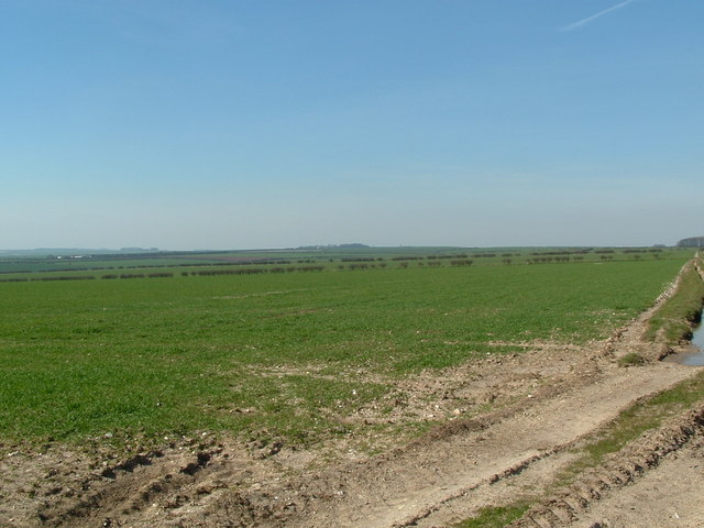
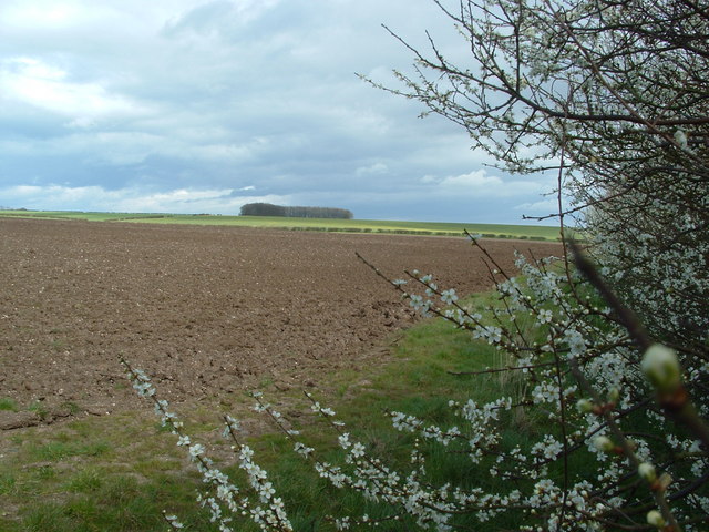
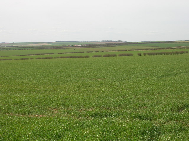
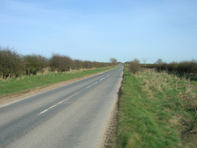
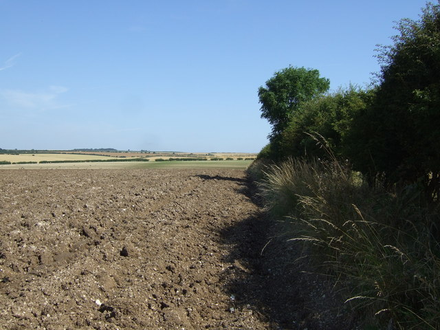
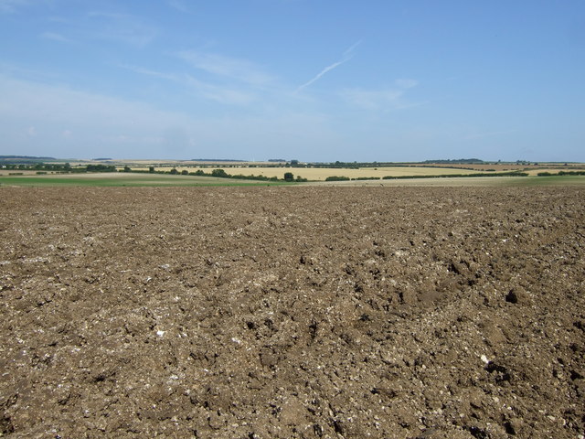
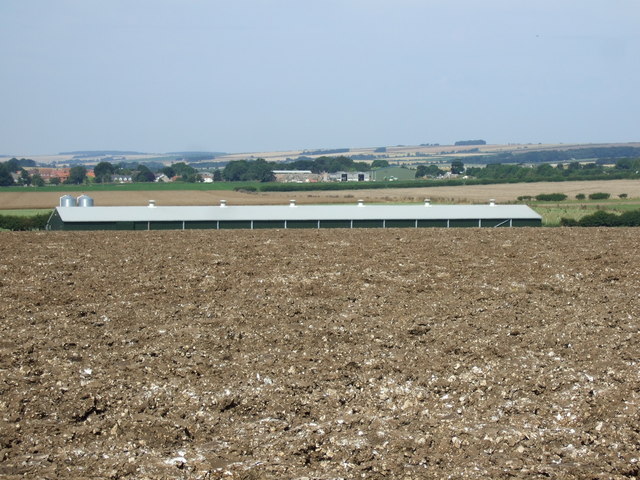
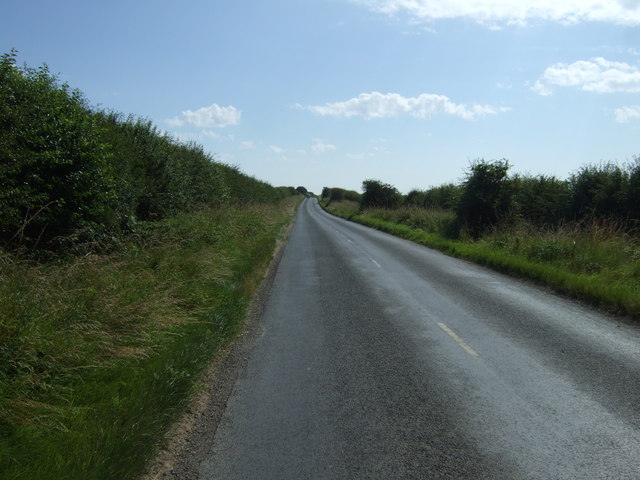
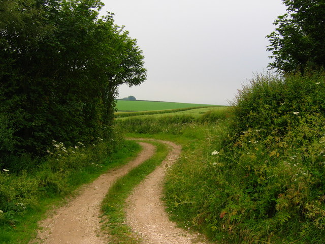
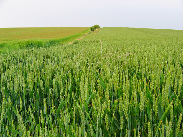
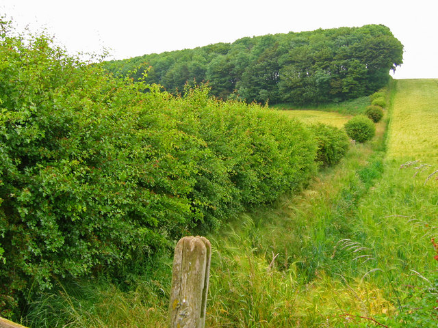
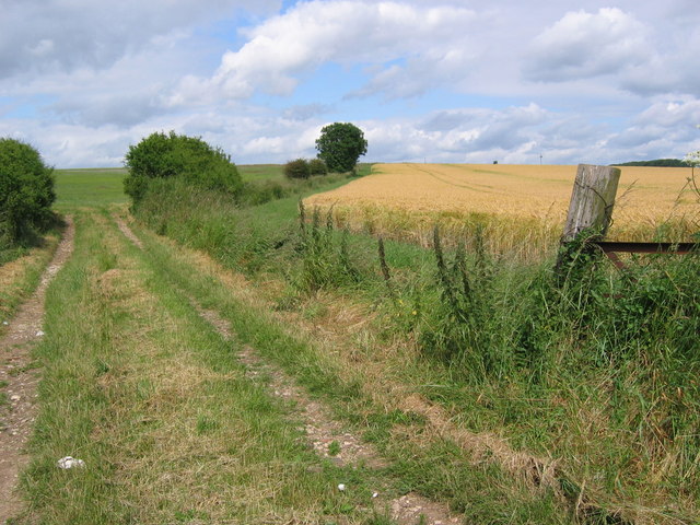
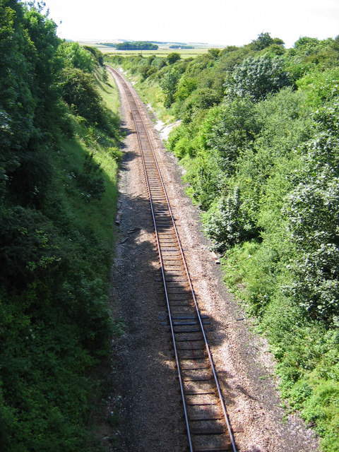
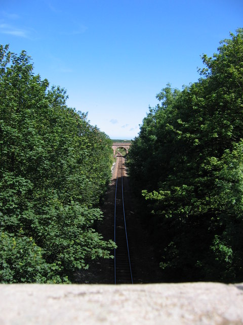
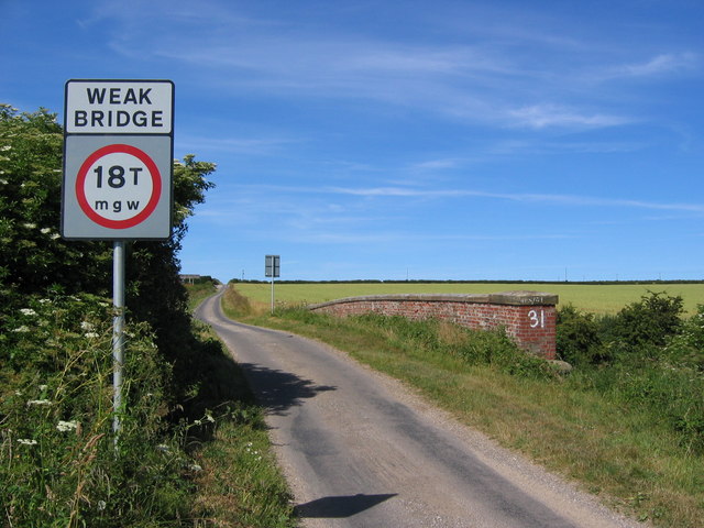
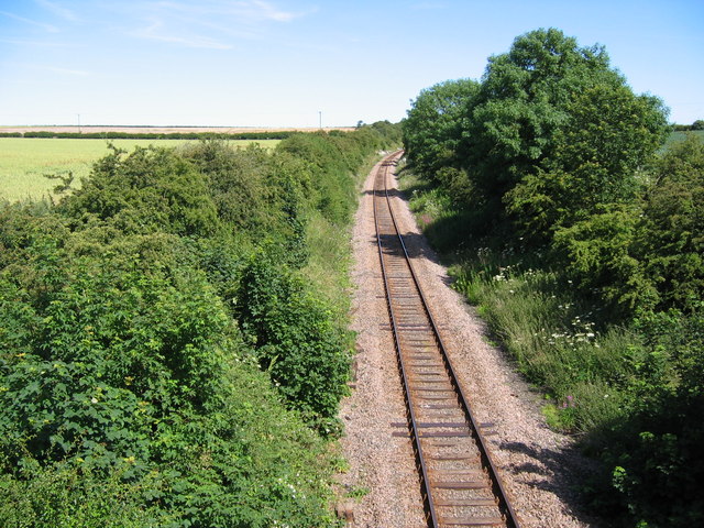
Bell Slack Images
Images are sourced within 2km of 54.13838/-0.29583969 or Grid Reference TA1172. Thanks to Geograph Open Source API. All images are credited.
Bell Slack is located at Grid Ref: TA1172 (Lat: 54.13838, Lng: -0.29583969)
Division: East Riding
Administrative County: North Yorkshire
District: Scarborough
Police Authority: North Yorkshire
What 3 Words
///chosen.square.drums. Near Grindale, East Yorkshire
Nearby Locations
Related Wikis

Argam
Argam, or Argham (sometimes Ergam, or Ergham), was a civil parish and village in the East Riding of Yorkshire, England. The site is listed in many historical...

Grindale
Grindale is a village and civil parish in the East Riding of Yorkshire, England. It is situated approximately 4 miles (6 km) north-west of Bridlington...

Reighton
Reighton is a village and civil parish, in North Yorkshire, England. From the mediaeval era until the 19th century Reighton was part of Dickering Wapentake...

Burton Fleming
Burton Fleming is a village and civil parish in the East Riding of Yorkshire, England. It lies close to the border with North Yorkshire. The village is...

Speeton railway station
Speeton railway station served the villages of Speeton and Reighton in North Yorkshire, England. It was situated on the Yorkshire Coast Line from Scarborough...

Hunmanby railway station
Hunmanby railway station serves the large village of Hunmanby in North Yorkshire, England. It is located on the Yorkshire Coast Line and is operated by...

Speeton
Speeton is a village in the civil parish of Reighton, in North Yorkshire, England. It lies near the edge of the coastal cliffs midway between Filey and...

Filey Holiday Camp railway station
Filey Holiday Camp railway station was a railway station built by the London and North Eastern Railway to serve Butlin's Filey Holiday Camp just south...
Nearby Amenities
Located within 500m of 54.13838,-0.29583969Have you been to Bell Slack?
Leave your review of Bell Slack below (or comments, questions and feedback).