Argam Field

Downs, Moorland in Yorkshire

England

Argam Field

Country  road  toward  Grindale  after  leaving  Burton  Fleming
Country road toward Grindale after leaving Burton Fleming Credit: Martin Dawes

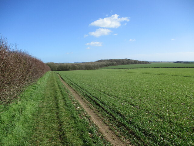
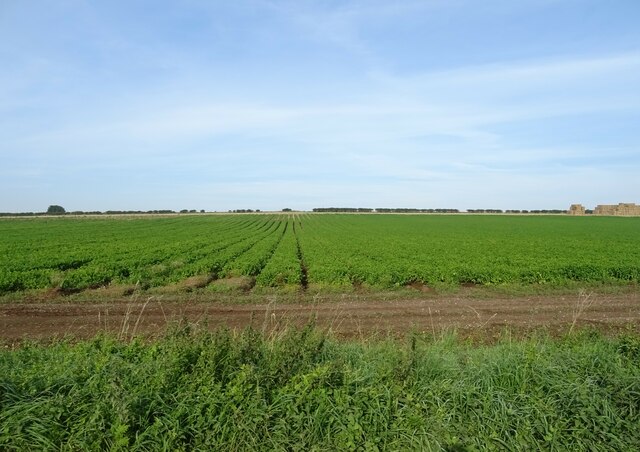
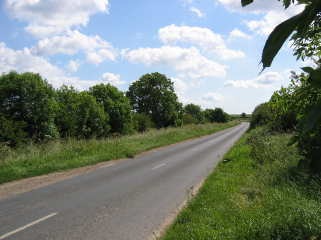
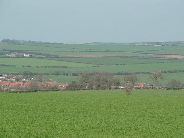
Argam Field is a vast expanse of untouched natural beauty located in the heart of Yorkshire. Nestled amidst the picturesque Yorkshire Downs and Moorland, this enchanting field spans over several acres, offering a serene and captivating environment for visitors to explore.

The field is characterized by its rolling hills, covered in lush green grass that sways gently in the breeze. Dotted with vibrant wildflowers, the landscape transforms into a colorful tapestry during the spring and summer months. The field is home to a diverse range of flora and fauna, including rare species of plants and birds, making it a haven for nature enthusiasts and birdwatchers.

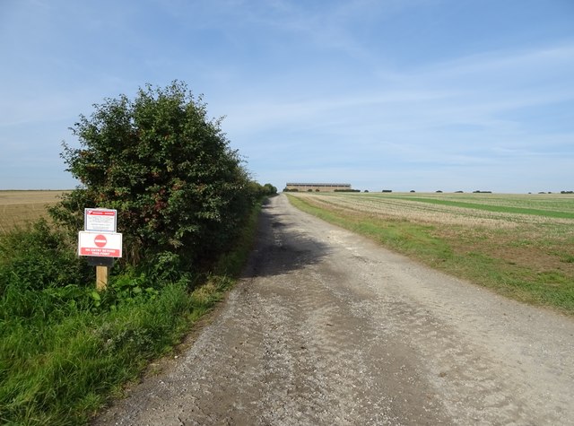
The Yorkshire Downs and Moorland provide a stunning backdrop to Argam Field, with their rugged terrain and sweeping views. Visitors can hike along the well-maintained trails that crisscross the field, offering breathtaking vistas at every turn. As one explores the field, they may encounter grazing sheep or horses that add to the pastoral charm of the area.

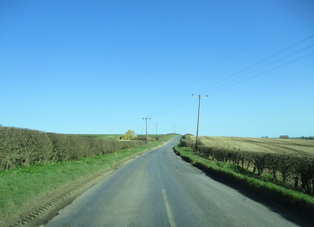
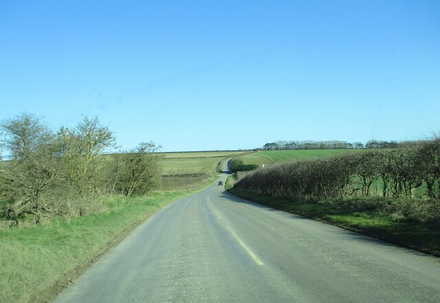
Due to its remote location, Argam Field offers a peaceful retreat away from the hustle and bustle of city life. It is a place where one can escape the noise and immerse themselves in the tranquility of nature. Whether it's a leisurely picnic, a peaceful walk, or simply enjoying the beauty of the surroundings, Argam Field provides an idyllic setting for relaxation and rejuvenation.

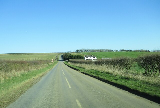
Overall, Argam Field, with its stunning natural beauty and serene ambiance, is a hidden gem in Yorkshire, beckoning visitors to experience the unspoiled charm of the countryside.

If you have any feedback on the listing, please let us know in the comments section below.
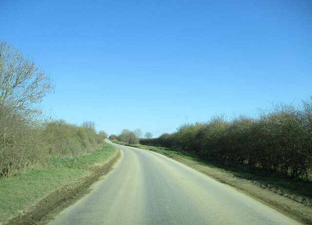
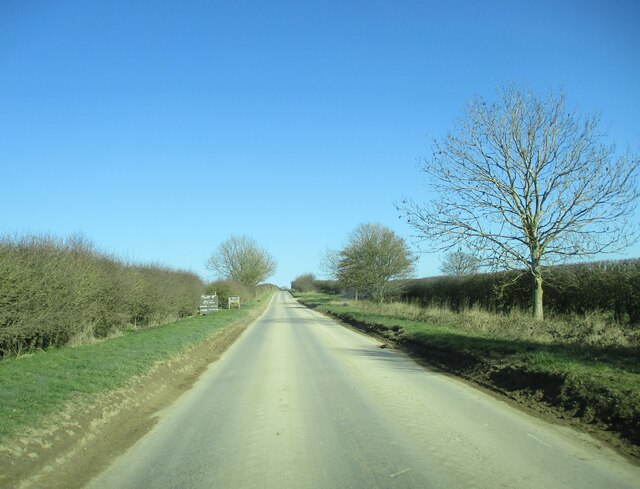
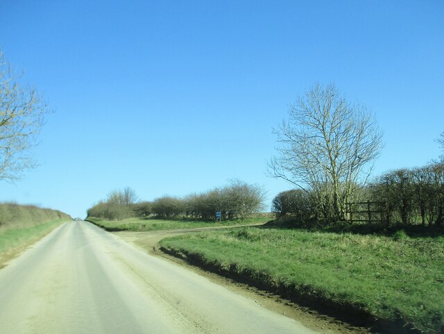
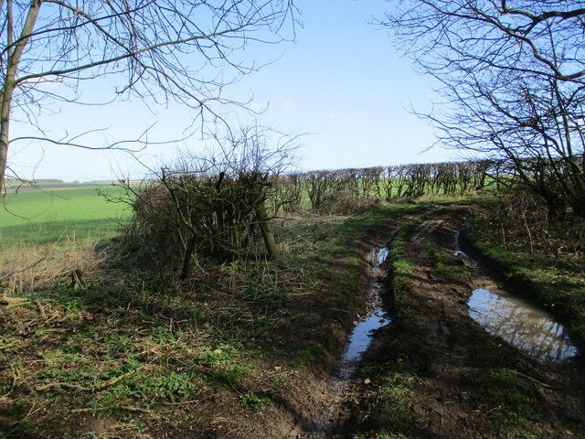
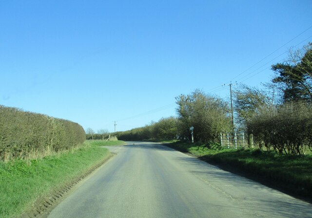
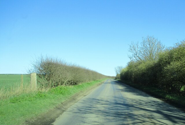
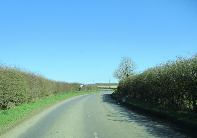
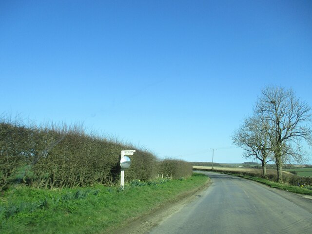
Argam Field Images

Images are sourced within 2km of 54.133483/-0.2991326 or Grid Reference TA1172. Thanks to Geograph Open Source API. All images are credited.

Country  road  toward  Grindale  after  leaving  Burton  Fleming
Country road toward Grindale after leaving Burton Fleming
Country  road  with  access  junctions  to  two  farms On the left West Hale Gate farm, further on the right Maidensgrave farm
Country road with access junctions to two farms
On the left West Hale Gate farm, further on the right Maidensgrave farm
Access  track  to  Maidensgrave  Farm  on  the  right
Access track to Maidensgrave Farm on the right
Track  going  around  Fox  Covert  Plantation South Dale to the left
Track going around Fox Covert Plantation
South Dale to the left
Field edge  track  on  the  Yorkshire  Wolds Runs from High Caythorpe farm towards Fox Covert Plantation
Field edge track on the Yorkshire Wolds
Runs from High Caythorpe farm towards Fox Covert Plantation
Country  road  toward  Grindale The stack of straw bales to the left are on the site of an old pit
Country road toward Grindale
The stack of straw bales to the left are on the site of an old pit
Downhill  to  Argam  Crossroads Arable landscape of the Yorkshire Wolds
Downhill to Argam Crossroads
Arable landscape of the Yorkshire Wolds
Approaching  Argam  Cottages  at  the  crossroads
Approaching Argam Cottages at the crossroads
Country  road  junction  and  farm  access  entrance The road to the left goes up over Reighton Field to the A165. Just beyond the signpost on the right is the access track to Argham farm.
Country road junction and farm access entrance
The road to the left goes up over Reighton Field to the A165. Just beyond the signpost on the right is the access track to Argham farm.
Country  road  toward  Grindale Arable landscape of the Yorkshire Wolds to the left
Country road toward Grindale
Arable landscape of the Yorkshire Wolds to the left
Approaching  Witch  Lane  junction On road toward Grindale
Approaching Witch Lane junction
On road toward Grindale
Witch  Lane  junction  the  farm  access  from  Finley  Hill  farm
Witch Lane junction the farm access from Finley Hill farm
Potato field, Argham Fields
Farm shop, Argham Fields
Farm track off Bartingdale Road
Old brick built barn on Bartingdale Road
East of Burton Fleming The road seen here runs EW along the north edge of the grid square which is all farmland. This view looking east from the west edge of the square.
East of Burton Fleming
The road seen here runs EW along the north edge of the grid square which is all farmland. This view looking east from the west edge of the square.
Fields east of Burton Fleming The grid square is the area to the right of the shot east and south of Hill Farm which is the white house visible top left of shot.
Fields east of Burton Fleming
The grid square is the area to the right of the shot east and south of Hill Farm which is the white house visible top left of shot.
Show me another place!

Argam Field is located at Grid Ref: TA1172 (Lat: 54.133483, Lng: -0.2991326)

Division: East Riding

Unitary Authority: East Riding of Yorkshire

Police Authority: Humberside

What 3 Words

///handsets.modes.zoned. Near Grindale, East Yorkshire

Nearby Locations

Argam Field Bell Slack

Related Wikis

Argam

Argam, or Argham (sometimes Ergam, or Ergham), was a civil parish and village in the East Riding of Yorkshire, England. The site is listed in many historical...

Grindale

Grindale is a village and civil parish in the East Riding of Yorkshire, England. It is situated approximately 4 miles (6 km) north-west of Bridlington...

Burton Fleming

Burton Fleming is a village and civil parish in the East Riding of Yorkshire, England. It lies close to the border with North Yorkshire. The village is...

Reighton

Reighton is a village and civil parish, in North Yorkshire, England. From the mediaeval era until the 19th century Reighton was part of Dickering Wapentake...

Nearby Amenities

Located within 500m of 54.133483,-0.2991326
Generator Method: wind_turbine
Generator Source: wind
Power: generator
Lat/Long: 54.1349437/-0.299147
Power: pole
Transformer: distribution
Lat/Long: 54.1343862/-0.3040074
Power: pole
Lat/Long: 54.1353227/-0.3040403
Power: pole
Lat/Long: 54.1360975/-0.3040554
Power: pole
Lat/Long: 54.1337133/-0.3039813
Power: pole
Lat/Long: 54.1330162/-0.3039536
Power: pole
Lat/Long: 54.1320517/-0.3039294
Power: pole
Lat/Long: 54.1311155/-0.3039037
Power: pole
Lat/Long: 54.1309735/-0.3038997
Power: pole
Lat/Long: 54.1306756/-0.3026119
Power: pole
Lat/Long: 54.1300134/-0.2997908
Power: pole
Lat/Long: 54.1303494/-0.301194
Power: pole
Lat/Long: 54.1296591/-0.2967462
Power: pole
Lat/Long: 54.1296516/-0.2951846
Power: pole
Lat/Long: 54.1296709/-0.2982553
The data included in this document is from www.openstreetmap.org. The data is made available under ODbL.

Have you been to Argam Field?

Leave your review of Argam Field below (or comments, questions and feedback).