Linwood Moor

Downs, Moorland in Lincolnshire North Kesteven

England

Linwood Moor

Holy Trinity church, Martin The door has changed colour in the last 10 years, <a href="https://www.geograph.org.uk/photo/3381003">TF1259 : Holy Trinity Church, Martin</a> but still locked tight and unwelcoming.
Holy Trinity church, Martin Credit: Julian P Guffogg

Linwood Moor, located in Lincolnshire, England, is a picturesque area known for its stunning downs and moorland landscapes. Covering a vast expanse of approximately 500 acres, it offers visitors a tranquil and serene environment to explore and appreciate the natural beauty of the region.

The moorland in Linwood Moor is characterized by its wide expanses of heather and gorse, which create a vibrant and colorful landscape, particularly during the blooming season. The moorland is also home to various species of birds, including skylarks and meadow pipits, which add to the area's natural charm.

The downs of Linwood Moor are characterized by rolling hills and grasslands, providing breathtaking views of the surrounding countryside. These areas are ideal for leisurely walks and hikes, offering visitors an opportunity to immerse themselves in the peaceful atmosphere and enjoy the stunning vistas.

Linwood Moor is also home to a diverse range of wildlife, including rabbits, foxes, and deer. This makes it a popular spot for nature enthusiasts and photographers looking to capture the beauty of the local fauna.

The area is well-maintained, with designated paths and trails for visitors to explore. It is advisable to wear appropriate footwear and carry a map or guide when venturing into Linwood Moor, as some parts can be challenging to navigate.

Overall, Linwood Moor in Lincolnshire offers a serene and idyllic setting for nature lovers and outdoor enthusiasts, providing an opportunity to appreciate the beauty of the downs and moorland landscapes while immersing oneself in the tranquility of the natural environment.

If you have any feedback on the listing, please let us know in the comments section below.
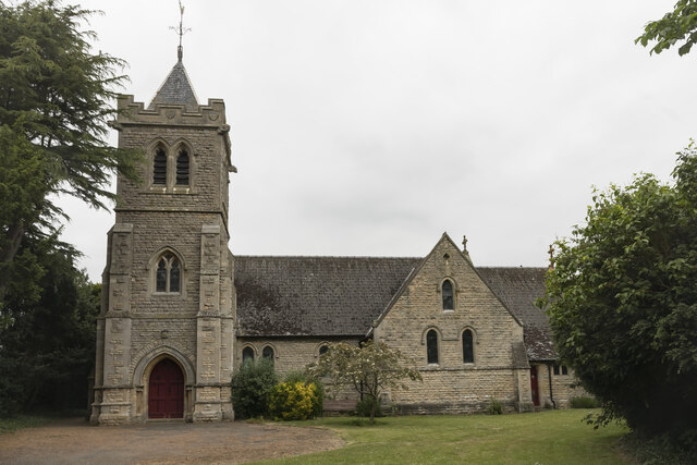
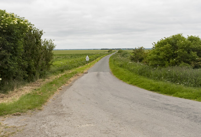
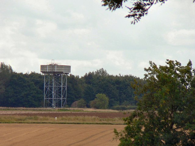
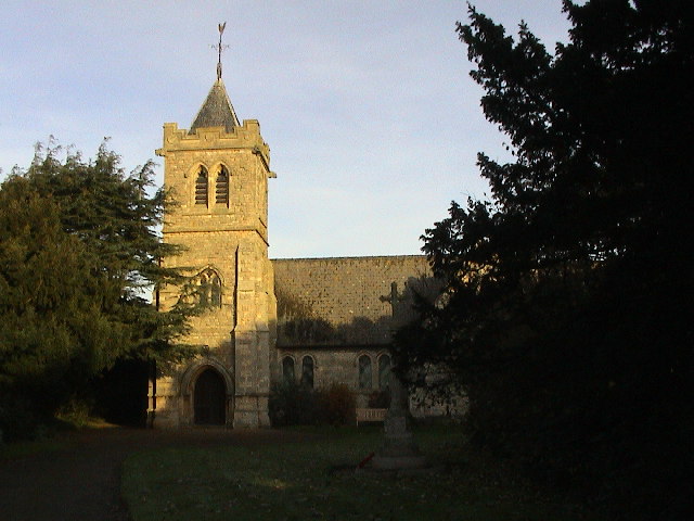
Linwood Moor Images

Images are sourced within 2km of 53.133766/-0.33865228 or Grid Reference TF1160. Thanks to Geograph Open Source API. All images are credited.

Holy Trinity church, Martin The door has changed colour in the last 10 years, <a href="https://www.geograph.org.uk/photo/3381003">TF1259 : Holy Trinity Church, Martin</a> but still locked tight and unwelcoming.
Holy Trinity church, Martin
The door has changed colour in the last 10 years, TF1259 : Holy Trinity Church, Martin but still locked tight and unwelcoming.
Disused RAF Metheringham airfield: aerial 2022
Martin North Drove Heading in the direction of Martin Dales.
Martin North Drove
Heading in the direction of Martin Dales.
Blankney Drove Looking towards Carr Dyke Farm.
Blankney Drove
Looking towards Carr Dyke Farm.
Blankney Fen
Blankney Fen
Metheringham Airfield Visitor Centre
Martin Holy Trinity Church
Martin
Holy Trinity Church
Car Dyke Looking northwest. The distant culvert is a few metres into TF1260.
Car Dyke
Looking northwest. The distant culvert is a few metres into TF1260.
The western edge of Martin village The yellow panels of the speed restriction signs almost blend into the yellow rape.
The western edge of Martin village
The yellow panels of the speed restriction signs almost blend into the yellow rape.
Car Dyke The Roman Car Dyke and old Martin South Drove
Car Dyke
The Roman Car Dyke and old Martin South Drove
Holy Trinity church By T.H.Wyatt in 1876 with the tower added in 1911
Holy Trinity church
By T.H.Wyatt in 1876 with the tower added in 1911
Water Tower at Metheringham Probably a remnant structure of the nearby disused airfield.
Water Tower at Metheringham
Probably a remnant structure of the nearby disused airfield.
Martin Village Hall Former Methodist Chapel of 1860, converted to the Village Hall in the 1950s <span class="nowrap"><a title="http://www.martintimberland.co.uk/martin/villagehall.php" rel="nofollow ugc noopener" href="http://www.martintimberland.co.uk/martin/villagehall.php">Link</a><img style="margin-left:2px;" alt="External link" title="External link - shift click to open in new window" src="https://s1.geograph.org.uk/img/external.png" width="10" height="10"/></span>
Martin Village Hall
Former Methodist Chapel of 1860, converted to the Village Hall in the 1950s LinkExternal link
Martin, cut bench mark on Holy Trinity church Cut bench mark on a buttress of the tower.  See <span class="nowrap"><a title="http://www.bench-marks.org.uk/bm35660" rel="nofollow ugc noopener" href="http://www.bench-marks.org.uk/bm35660">Link</a><img style="margin-left:2px;" alt="External link" title="External link - shift click to open in new window" src="https://s1.geograph.org.uk/img/external.png" width="10" height="10"/></span> for details.
Martin, cut bench mark on Holy Trinity church
Cut bench mark on a buttress of the tower. See LinkExternal link for details.
Track to Dairy Farm House - Barff Farm
Martin Moor Golf Course Club House
East across fields near Blankney
North West toward Barff Holt near Blankney
Show me another place!

Linwood Moor is located at Grid Ref: TF1160 (Lat: 53.133766, Lng: -0.33865228)

Administrative County: Lincolnshire

District: North Kesteven

Police Authority: Lincolnshire

What 3 Words

///varieties.large.curls. Near Metheringham, Lincolnshire

Nearby Locations

Linwood Moor

Related Wikis

Metheringham Lass

The Metheringham Lass is the name given to an apparition which has been reported at RAF Metheringham. Reports have stated that the woman, wearing a jacket...

RAF Metheringham

Royal Air Force Metheringham or more simply RAF Metheringham is a former Royal Air Force station situated between the villages of Metheringham and Martin...

Martin, North Kesteven

Martin is a small village and civil parish in the North Kesteven district of Lincolnshire, England. The population at the 2011 census was 866. It lies...

Timberland, Lincolnshire

Timberland is a village in the North Kesteven district of Lincolnshire, England. The population of the civil parish (including Thorpe Tilney) at the 2011...

Nearby Amenities

Located within 500m of 53.133766,-0.33865228
Linwood Moor
Place: locality
Source: Bing
Lat/Long: 53.1313462/-0.3380933
Linwood Cottages
Place: isolated_dwelling
Source: Bing
Lat/Long: 53.1317932/-0.3408987
The data included in this document is from www.openstreetmap.org. The data is made available under ODbL.

Have you been to Linwood Moor?

Leave your review of Linwood Moor below (or comments, questions and feedback).