Beinn a' Tuath
Hill, Mountain in Ross-shire
Scotland
Beinn a' Tuath
Beinn a' Tuath is a prominent hill located in Ross-shire, a county in the Highlands region of Scotland. It is situated within the remote and picturesque area of Wester Ross, known for its stunning landscapes and rugged terrain. Rising to a height of approximately 750 meters (2,460 feet), Beinn a' Tuath offers breathtaking panoramic views of the surrounding countryside.
This hill is a popular destination for outdoor enthusiasts, particularly hikers and mountaineers, due to its challenging yet rewarding trails. The ascent is steep and demanding, with rocky and uneven terrain, making it suitable for experienced walkers seeking an adventure. However, the rewarding views from the summit make the effort well worth it.
The slopes of Beinn a' Tuath are home to a diverse range of flora and fauna, typical of the Scottish Highlands. Visitors may encounter a variety of wildlife, including red deer, mountain hare, and golden eagles. The hillside is also adorned with heather, mosses, and lichens, adding to its natural beauty.
Due to its remote location, it is advisable to come prepared when visiting Beinn a' Tuath. Proper hiking gear, including sturdy boots, waterproof clothing, and navigation equipment, is essential. The weather in the area can be unpredictable, with rapid changes, so caution and preparation are necessary.
Overall, Beinn a' Tuath offers a challenging and rewarding experience for outdoor enthusiasts, with its stunning views, diverse wildlife, and rugged terrain. It is a must-visit destination for those seeking an authentic Highland adventure.
If you have any feedback on the listing, please let us know in the comments section below.
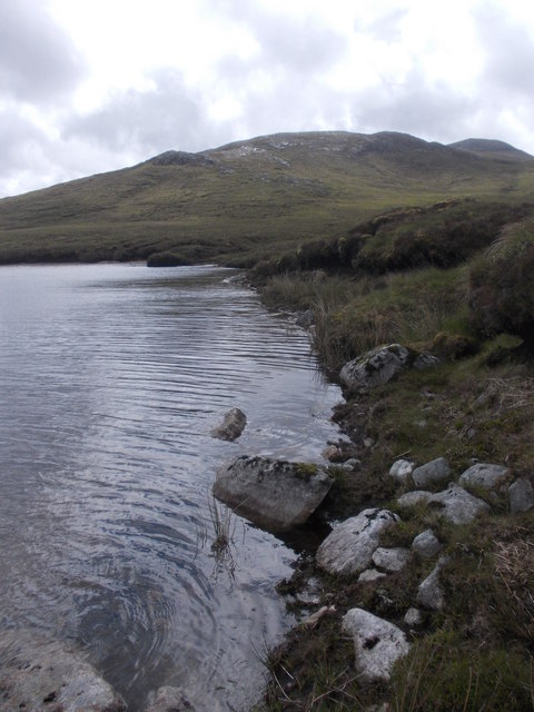
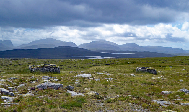
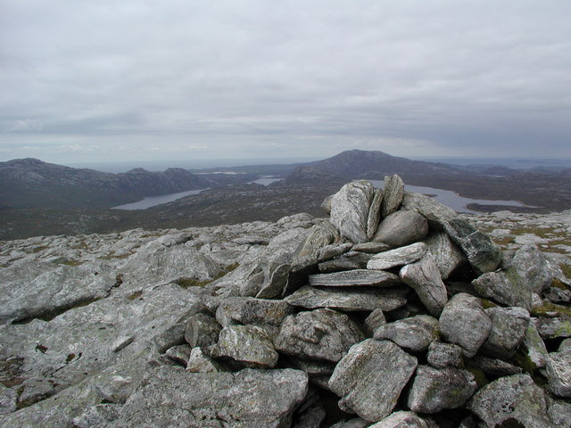
Beinn a' Tuath Images
Images are sourced within 2km of 58.103807/-6.9281763 or Grid Reference NB0923. Thanks to Geograph Open Source API. All images are credited.
Beinn a' Tuath is located at Grid Ref: NB0923 (Lat: 58.103807, Lng: -6.9281763)
Unitary Authority: Na h-Eileanan an Iar
Police Authority: Highlands and Islands
What 3 Words
///restores.unroll.conjured. Near Carloway, Na h-Eileanan Siar
Nearby Locations
Related Wikis

Gisla Hydro-Electric Scheme
Gisla Hydro-Electric Scheme was a small scheme promoted by the North of Scotland Hydro-Electric Board on the Isle of Lewis, Outer Hebrides, Scotland. It...

Gasker
Gasker is a small uninhabited islet in the Outer Hebrides of Scotland, 8 kilometres (4+1⁄2 nautical miles) southwest of Scarp, off the west coast of Harris...
Flodaigh, Lewis
Flodaigh is a small island in Loch Roag on the west coast of Lewis in the Outer Hebrides of Scotland. It is about 33 hectares (82 acres) in extent and...
Nearby Amenities
Located within 500m of 58.103807,-6.9281763Have you been to Beinn a' Tuath?
Leave your review of Beinn a' Tuath below (or comments, questions and feedback).