Loups's Plantation
Wood, Forest in Yorkshire
England
Loups's Plantation
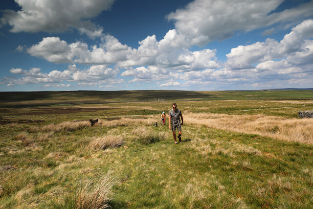
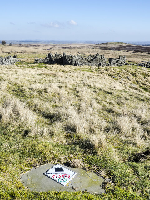
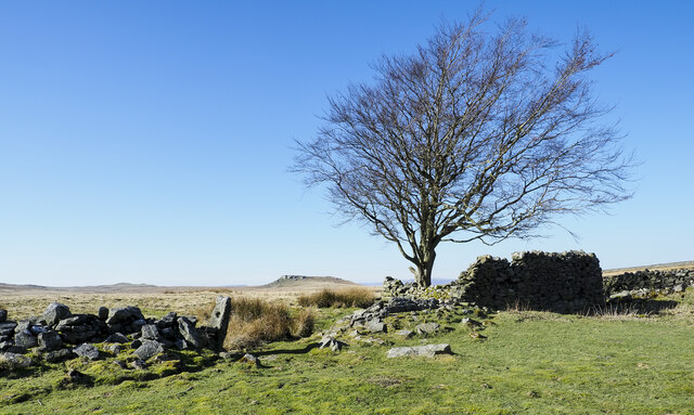
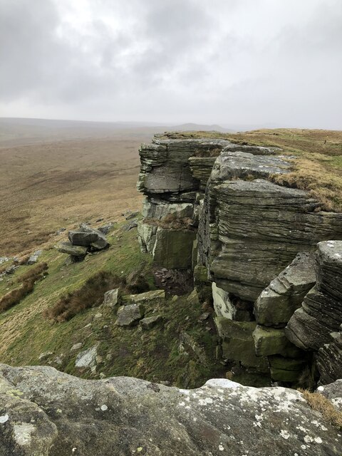
Loups's Plantation, located in Yorkshire, is a picturesque woodland area known for its dense forest and natural beauty. Situated in the heart of the county, this plantation covers a vast area of woodlands, making it a popular destination for nature enthusiasts and hikers.
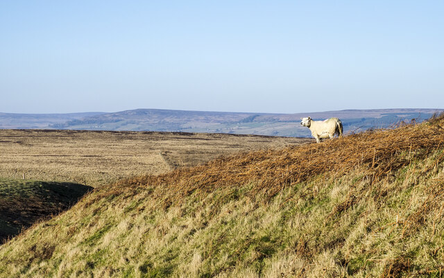
The plantation is home to a diverse range of plant and animal species, providing a rich ecosystem for the local wildlife. The forest is predominantly made up of native trees such as oak, beech, and birch, which create a stunning canopy of foliage throughout the year. The woodland floor is adorned with a variety of wildflowers, adding bursts of color to the landscape.
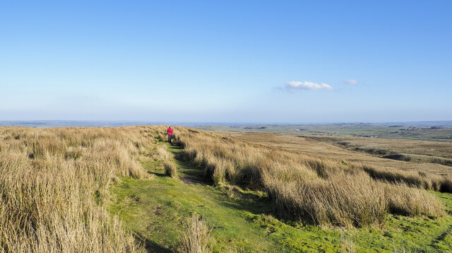
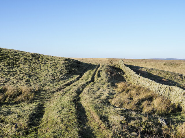
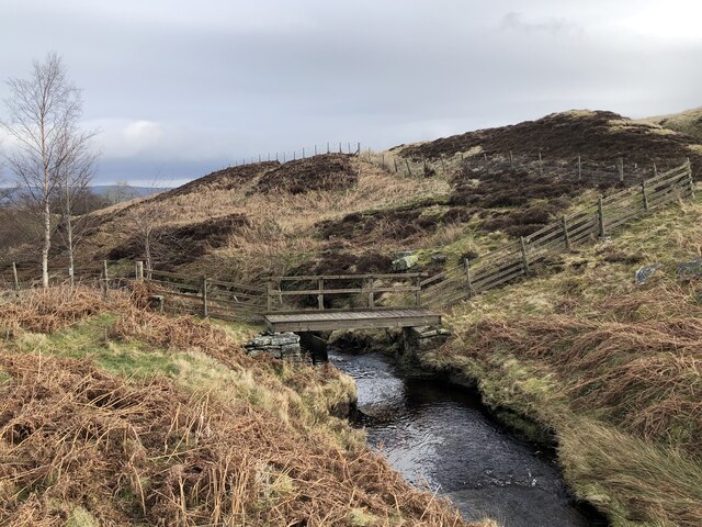
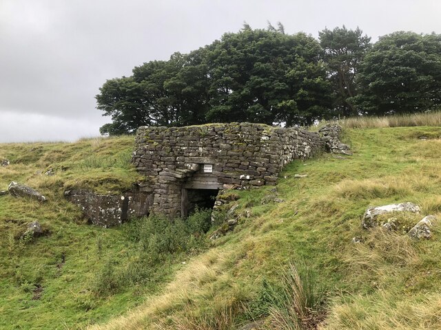
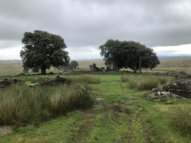
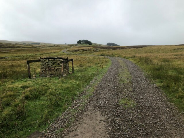
Loups's Plantation offers several well-maintained trails and walking paths, allowing visitors to explore its natural wonders. These paths wind through the forest, offering breathtaking views of the surrounding countryside. The plantation also features picnic areas, making it a perfect spot for families and friends to enjoy a day out in nature.
Birdwatching is a popular activity in Loups's Plantation, as it houses a wide range of bird species. Visitors can spot birds such as woodpeckers, owls, and various songbirds, making it an ideal destination for bird enthusiasts and photographers.
Overall, Loups's Plantation in Yorkshire is a haven for nature lovers, offering a serene and tranquil environment away from the hustle and bustle of city life. Its lush forest, diverse wildlife, and well-maintained trails make it a must-visit destination for anyone seeking to reconnect with nature.
If you have any feedback on the listing, please let us know in the comments section below.
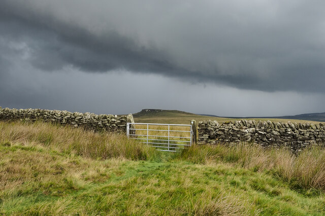
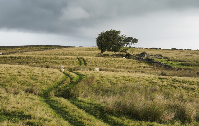
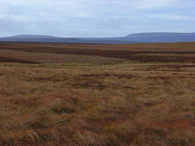
Loups's Plantation Images
Images are sourced within 2km of 54.545628/-2.0487527 or Grid Reference NY9616. Thanks to Geograph Open Source API. All images are credited.
Loups's Plantation is located at Grid Ref: NY9616 (Lat: 54.545628, Lng: -2.0487527)
Division: North Riding
Unitary Authority: County Durham
Police Authority: Durham
What 3 Words
///timeless.ranking.chosen. Near Bowes, Co. Durham
Nearby Locations
Related Wikis

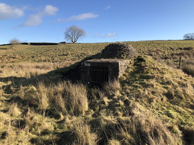
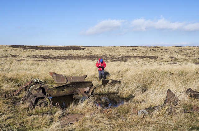
RAF Bowes Moor
RAF Bowes Moor was a chemical warfare agent (CWA) storage site run by the Royal Air Force during and after the Second World War. The site was to the north...

Mere Beck Meadows
Mere Beck Meadows, formerly known as Willoughby Hall Meadows, is a Site of Special Scientific Interest in the Teesdale district of County Durham, England...

Hury Reservoir
Hury Reservoir is a reservoir in County Durham, England situated in Baldersdale. The reservoir is located about four miles south of Middleton-in-Teesdale...
Cotherstone Moor
Cotherstone Moor is a Site of Special Scientific Interest in the Teesdale district in south-west County Durham, England. It is an extensive area of moorland...
Related Videos

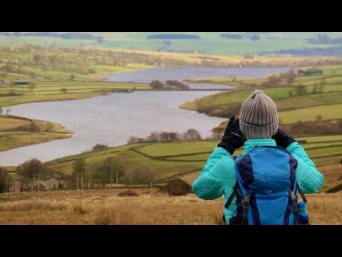
County Durham Running and Walking Routes: Goldsborough Rigg 9 miles / Hury Reservoir & Pennine Way
A great walk from the book “100 walks in County Durham” by Gary Richardson. Walk number 87. Start at Hury Reservoir car park ...

Goldsbrough via Hury - A Local Hike
Eyup everyone, welcome to a very windy walk! This is a fairly local hike to me, in an area, I am familiar with due to fishing grounds.
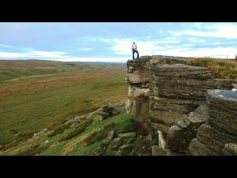
Goldsborough & Baldersdale, North Pennines - 22 August 2021
A 9.4 mile walk from Hury Reservoir. The route initially heads up to Goldsborough before heading west to the dam wall of ...
Shacklesborough with Hury, Blackton & Baldershead Reservoir, North Pennines - 23 November 2020
An 11 mile walk from the dam of Hury Reservoir. The route follows the northern edge of both Hury and Blackton Reservoir west ...
Nearby Amenities
Located within 500m of 54.545628,-2.0487527Have you been to Loups's Plantation?
Leave your review of Loups's Plantation below (or comments, questions and feedback).