Allen's Grove
Wood, Forest in Gloucestershire Forest of Dean
England
Allen's Grove
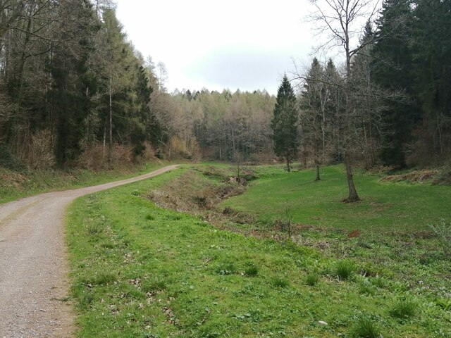
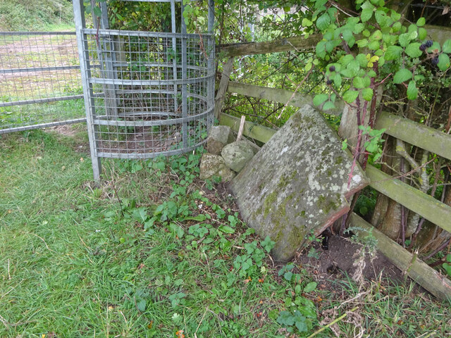
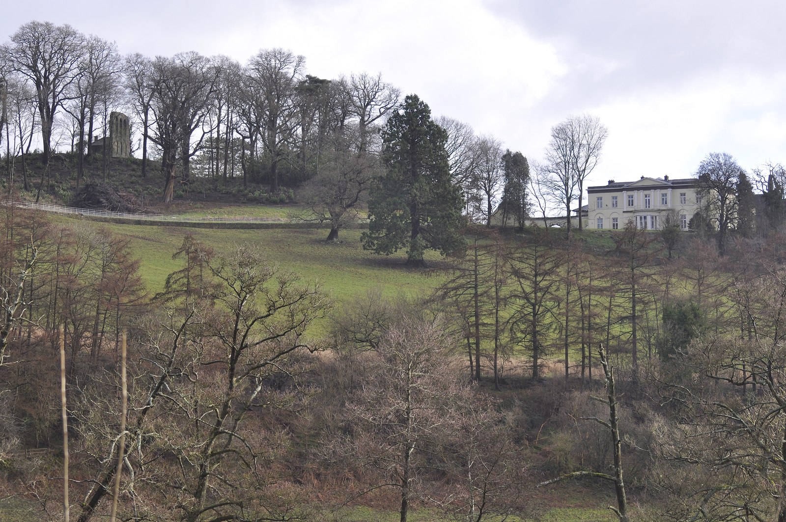
Allen's Grove is a picturesque forested area located in Gloucestershire, England. Covering an expansive area of approximately 200 acres, it is known for its lush greenery, diverse wildlife, and tranquil atmosphere. The grove is situated within the larger Forest of Dean, a renowned ancient woodland dating back centuries.
The woodland in Allen's Grove is dominated by a variety of tree species, including oak, beech, and ash trees, which create a dense canopy overhead. This dense foliage provides a haven for numerous animal species, making it a popular spot for wildlife enthusiasts and bird watchers. Visitors to the grove may catch glimpses of deer, foxes, badgers, and a rich variety of bird species.
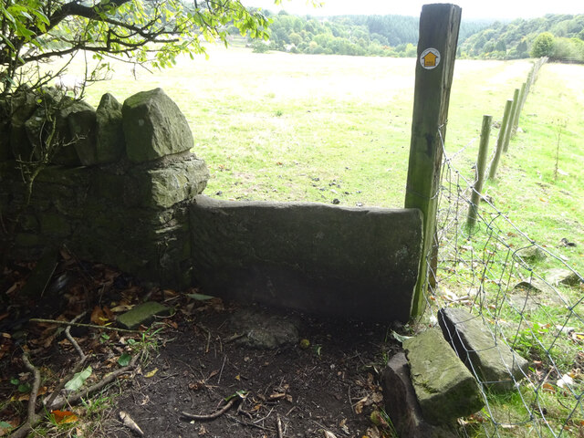
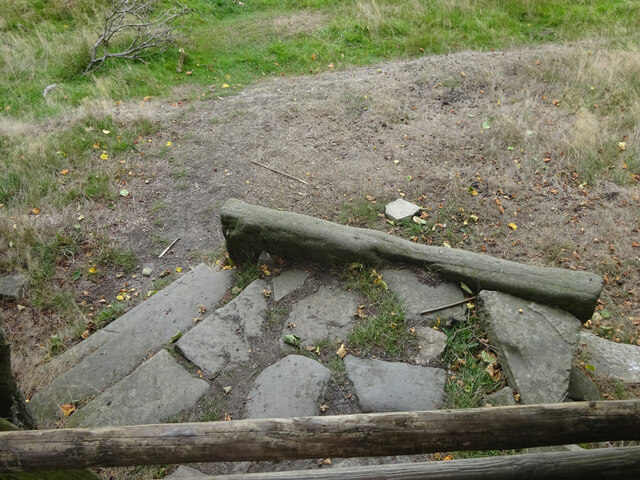
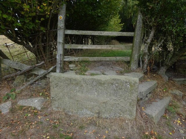
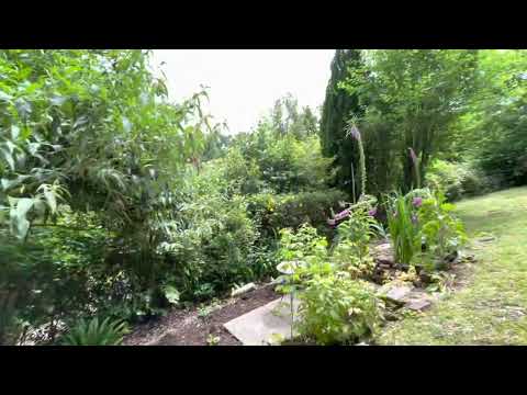
The forest floor of Allen's Grove is adorned with a vibrant carpet of bluebells during the spring season, creating a breathtaking sight. The area is also home to several walking trails, allowing visitors to explore the grove's natural beauty at their own pace. These paths wind through the woodland, offering glimpses of babbling brooks, moss-covered rocks, and fallen trees.
Allen's Grove is a popular destination for nature lovers, hikers, and those seeking a peaceful retreat from the bustling city. The grove's serene ambiance provides the perfect escape from the hectic pace of modern life, and its natural beauty serves as a reminder of the importance of preserving and appreciating the natural world. Whether it's a leisurely stroll, birdwatching, or simply enjoying the tranquility of the forest, Allen's Grove offers an idyllic setting for visitors to reconnect with nature.
If you have any feedback on the listing, please let us know in the comments section below.
Allen's Grove Images
Images are sourced within 2km of 51.863074/-2.5614711 or Grid Reference SO6118. Thanks to Geograph Open Source API. All images are credited.


Allen's Grove is located at Grid Ref: SO6118 (Lat: 51.863074, Lng: -2.5614711)
Administrative County: Gloucestershire
District: Forest of Dean
Police Authority: Gloucestershire
What 3 Words
///doted.surgical.ringside. Near Ruardean, Gloucestershire
Nearby Locations
Related Wikis

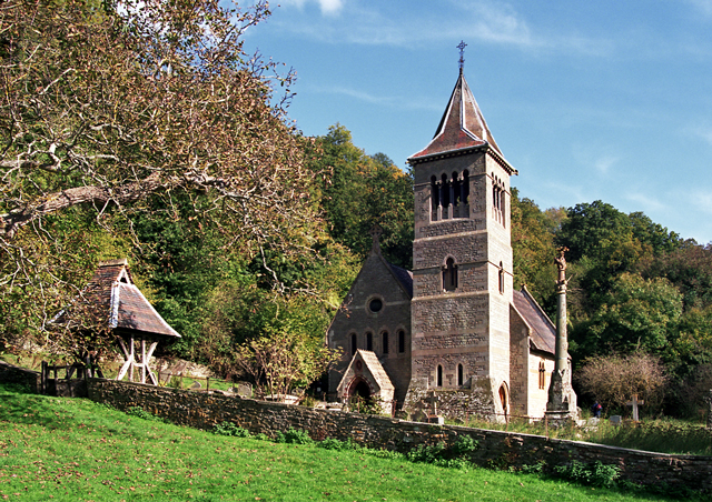
Ruardyn Castle
Ruardyn Castle was a manor house in the village of Ruardean. Its ruins have been scheduled as an ancient monument.It was originally a manor house built...
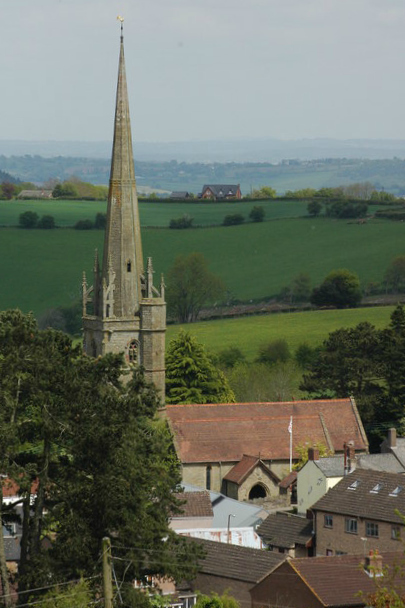
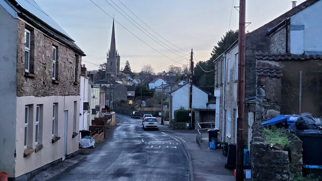
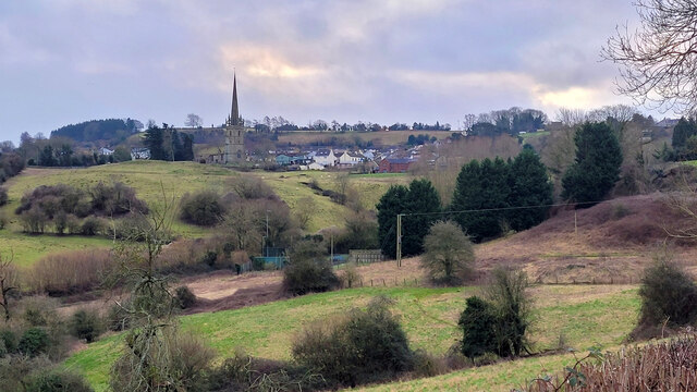
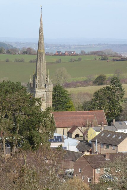
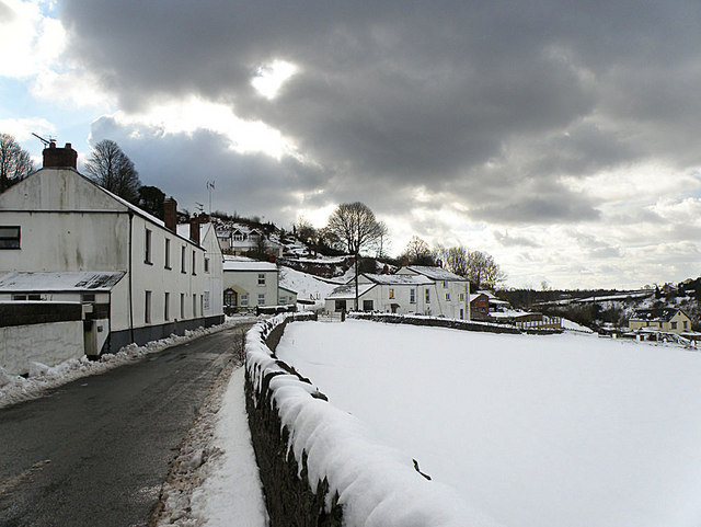
Ruardean
Ruardean is a village in the Forest of Dean, Gloucestershire, England, to the North West of Cinderford. It is situated on a hillside with views west towards...

Drybrook
Drybrook is a village and civil parish in the Forest of Dean in west Gloucestershire, England. == Location == It lies in the North West edge of the Royal...

Hope Mansell
Hope Mansell is a village and civil parish in Herefordshire, England. In 2011 the civil parish had a population of 259. Hope Mansell is mentioned in the...
Courtfield, Welsh Bicknor
Courtfield, Welsh Bicknor, Herefordshire, England is a country house dating from the early 19th century. The present building stands on the site of a much...
Welsh Bicknor
Welsh Bicknor (Welsh: Llangystennin Garth Brenni) is an area in the far south of the English county of Herefordshire. Despite its name, it is not now in...

1942 Herefordshire TRE Halifax crash
V9977 was an Handley Page Halifax II that had been sent to the Telecommunications Research Establishment (TRE) at RAF Defford to be used as a flying testbed...
Ruardean Woodside
Ruardean Woodside is a village in Gloucestershire, England, located in the Forest of Dean and tucked away behind Ruardean Hill and Brierley. There is...
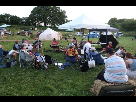
Related Videos
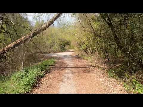
Lydbrook spur Trail
JUST A LITTLE TRAIL IN THE FOREST PEEPS CALLED LYDBROOK SPUR TRAIL LETS SEE WERE IT GOES PEEPS ...
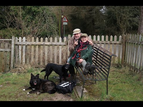
Brierley, Lydbrook and Ruardean
A six and a half mile walk from Brierley, through Lydbrook and Ruardean with such a variety of terrain. Woodland, quiet roads ...
Have you been to Allen's Grove?
Leave your review of Allen's Grove below (or comments, questions and feedback).