Mayer's Grove

Wood, Forest in Herefordshire

England

Mayer's Grove

Lodgegrove Brook The brook runs alongside a small track with a public footpath, as well as acting as the border between Herefordshire and Gloucestershire.
Lodgegrove Brook Credit: Pebble

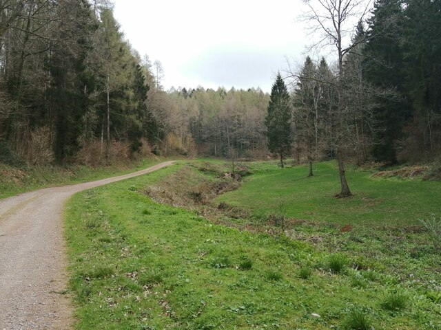
Mayer's Grove is a picturesque woodland located in the county of Herefordshire, England. Situated in the heart of the county, this enchanting forest covers an area of approximately 50 acres and is renowned for its natural beauty and tranquility.

The grove is predominantly composed of a variety of native deciduous trees, including oak, ash, beech, and birch, which provide a stunning display of colors throughout the seasons. The dense canopy created by these trees offers a soothing shade during the summer months, making it an ideal spot for nature enthusiasts and hikers to explore.

As visitors wander through Mayer's Grove, they are greeted by a carpet of wildflowers, adding vibrant splashes of color to the forest floor. The woodland is also home to an array of wildlife, including deer, foxes, and a diverse bird population, making it a haven for wildlife enthusiasts and birdwatchers.

The grove boasts a network of well-maintained footpaths and trails, allowing visitors to easily explore its natural wonders. Along these paths, one can find charming picnic spots, where families and friends can relax and enjoy the serenity of the surroundings.

Mayer's Grove holds a special place in the hearts of locals, who often visit the woodland for recreational activities such as walking, jogging, and cycling. It also serves as a popular destination for educational trips, where school children can learn about the importance of preserving and conserving our natural heritage.

In conclusion, Mayer's Grove in Herefordshire, with its captivating woodland, diverse flora and fauna, and well-maintained trails, offers a delightful escape into nature for those seeking tranquility and serenity.

If you have any feedback on the listing, please let us know in the comments section below.

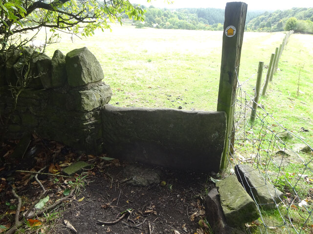
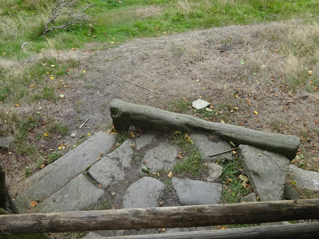
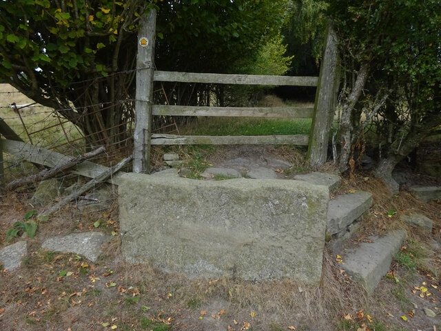
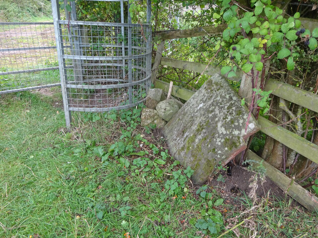
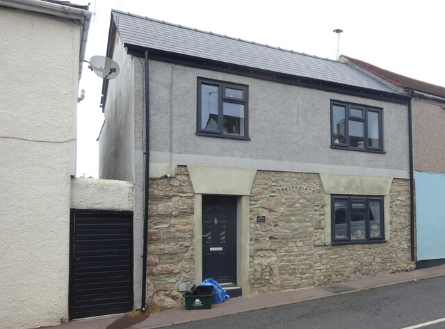
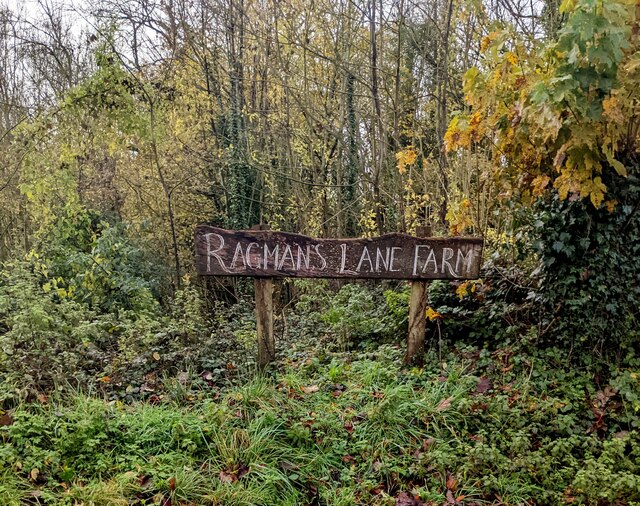
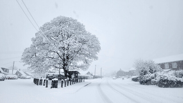
Mayer's Grove Images

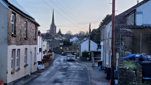
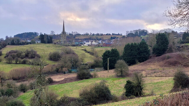
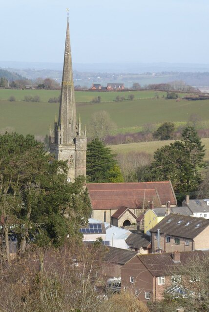
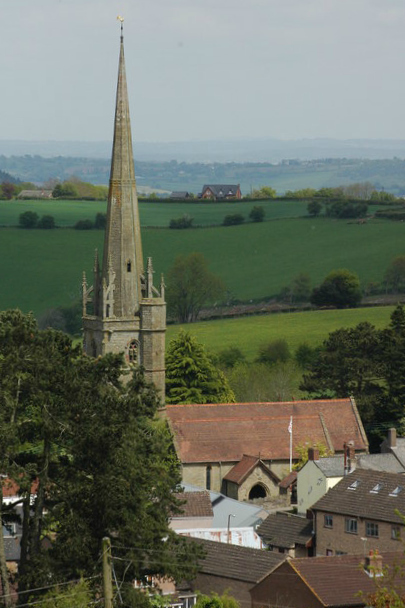
Images are sourced within 2km of 51.864226/-2.5554151 or Grid Reference SO6118. Thanks to Geograph Open Source API. All images are credited.

Lodgegrove Brook The brook runs alongside a small track with a public footpath, as well as acting as the border between Herefordshire and Gloucestershire.
Lodgegrove Brook
The brook runs alongside a small track with a public footpath, as well as acting as the border between Herefordshire and Gloucestershire.
Boundary Stone, Ruardean One of the many replacement boundary stone delineating the periphery of the "Forest of Dean". The "Forest" is very specific because resident have "rights in common" like grazing sheep and coal mining, though you may have to be born there to classify as a "free miner". This is on the Northern verge in Barn Lane.

Inscription: D. F. / 2012 / Nᴼ. 121

Milestone Society National ID: GL_DFDRYB121em
Boundary Stone, Ruardean
One of the many replacement boundary stone delineating the periphery of the "Forest of Dean". The "Forest" is very specific because resident have "rights in common" like grazing sheep and coal mining, though you may have to be born there to classify as a "free miner". This is on the Northern verge in Barn Lane. Inscription: D. F. / 2012 / Nᴼ. 121 Milestone Society National ID: GL_DFDRYB121em
Modern Boundary Stone, Ruardean High on the Northern embankment of "Townsend". One of the many replacement boundary stone delineating the periphery of the "Forest of Dean". The "Forest" is very specific because resident have "rights in common" like grazing sheep and coal mining, though you may have to be born there to classify as a "free miner". 

Inscription: D. F. / No 116 / 2010 

Milestone Society National ID: GL_DFRUAR116em
Modern Boundary Stone, Ruardean
High on the Northern embankment of "Townsend". One of the many replacement boundary stone delineating the periphery of the "Forest of Dean". The "Forest" is very specific because resident have "rights in common" like grazing sheep and coal mining, though you may have to be born there to classify as a "free miner". Inscription: D. F. / No 116 / 2010 Milestone Society National ID: GL_DFRUAR116em
Commemorative Plate, Ruardean On the wall of a corner house in Meend Lane (with Barn Lane).

Inscription:
V(crown)R
This road for the distance
of 2675 ↢ yards was made
at the expense of the crown
for the benefit of the
inhabitants and district
1899 - 1900
E.Stafford Howard Esq
Commissioner
Philip Baylis Esq
Dep Surveyor

Milestone Society National ID: GL_DRYBR01cm
Commemorative Plate, Ruardean
On the wall of a corner house in Meend Lane (with Barn Lane). Inscription: V(crown)R This road for the distance of 2675 ↢ yards was made at the expense of the crown for the benefit of the inhabitants and district 1899 - 1900 E.Stafford Howard Esq Commissioner Philip Baylis Esq Dep Surveyor Milestone Society National ID: GL_DRYBR01cm
Stone Stile, Ruardean On Gloucestershire footpath DRD34 entering a closed path that leads to Pettycroft, looking North . The view back towards Ruardean Woodside is <a href="https://www.geograph.org.uk/photo/7297883">SO6217 : Stone Stile, Ruardean</a>.
Stone Stile, Ruardean
On Gloucestershire footpath DRD34 entering a closed path that leads to Pettycroft, looking North . The view back towards Ruardean Woodside is SO6217 : Stone Stile, Ruardean.
Stone Stile, Ruardean On Gloucestershire footpath DRD34 entering a closed path that leads to Pettycroft, looking back to Ruardean Woodside. The view North is <a href="https://www.geograph.org.uk/photo/7297881">SO6217 : Stone Stile, Ruardean</a>.
Stone Stile, Ruardean
On Gloucestershire footpath DRD34 entering a closed path that leads to Pettycroft, looking back to Ruardean Woodside. The view North is SO6217 : Stone Stile, Ruardean.
Stone Stile, Ruardean On Gloucestershire footpath DRD34, a route from Barn Lane to Perrycroft. This looks South. the view up the stile is <a href="https://www.geograph.org.uk/photo/7299548">SO6216 : Stone Stile, Ruardean</a>.
Stone Stile, Ruardean
On Gloucestershire footpath DRD34, a route from Barn Lane to Perrycroft. This looks South. the view up the stile is SO6216 : Stone Stile, Ruardean.
Stone Stile, Ruardean On Gloucestershire footpath DRD34, a route from Barn Lane to Perrycroft. This looks North. the view down the stile is <a href="https://www.geograph.org.uk/photo/7299546">SO6216 : Stone Stile, Ruardean</a>.
Stone Stile, Ruardean
On Gloucestershire footpath DRD34, a route from Barn Lane to Perrycroft. This looks North. the view down the stile is SO6216 : Stone Stile, Ruardean.
Stone Stile, Ruardean On Gloucestershire footpath DRD34, this "Fallen Idle" is of similar proportions to the two upright stiles to the North and lies about 2 ft from the current wooden stile.
Stone Stile, Ruardean
On Gloucestershire footpath DRD34, this "Fallen Idle" is of similar proportions to the two upright stiles to the North and lies about 2 ft from the current wooden stile.
Stone Stile, Ruardean Alongside Gloucestershire footpath DRD32, an obsolete stile to the adjacent field. Midway between Pettycroft and Eddys Lane.
Stone Stile, Ruardean
Alongside Gloucestershire footpath DRD32, an obsolete stile to the adjacent field. Midway between Pettycroft and Eddys Lane.
Stone Stile, Ruardean On Gloucestershire footpath DRD32 off Eddys Lane. The remnants of a "Fallen Idle".
Stone Stile, Ruardean
On Gloucestershire footpath DRD32 off Eddys Lane. The remnants of a "Fallen Idle".
Stone Stile, Ruardean On Gloucestershire footpath DRD6, North of the church. the remains of a "Fallen Idle".
Stone Stile, Ruardean
On Gloucestershire footpath DRD6, North of the church. the remains of a "Fallen Idle".
Toll House, Ruardean Former Toll House, "Pike Cottage" on the North side of High Street. Used by the Forest of Dean Turnpike Trust up until the 19ᵗʰ C. Parts of Ruardean are in the "Forest" but the High Street is not.

Milestone Society National ID: GL.RUA
Toll House, Ruardean
Former Toll House, "Pike Cottage" on the North side of High Street. Used by the Forest of Dean Turnpike Trust up until the 19ᵗʰ C. Parts of Ruardean are in the "Forest" but the High Street is not. Milestone Society National ID: GL.RUA
Ragman's Lane Farm name sign, Gloucestershire Located here <a title="https://www.geograph.org.uk/photo/1427535" href="https://www.geograph.org.uk/photo/1427535">Link</a>
Ragman's Lane Farm name sign, Gloucestershire
Located here Link
Ruardean Oak and war memorial Early on a morning of December snow.
The grey marks on the sky are snowflakes.
Ruardean Oak and war memorial
Early on a morning of December snow. The grey marks on the sky are snowflakes.
West End, Ruardean 8am, New Year's Day, 2023.
West End, Ruardean
8am, New Year's Day, 2023.
View towards Ruardean The village is shown half way up the hill.
View towards Ruardean
The village is shown half way up the hill.
Ruardean church Ruardean church is dedicated to St John the Baptist. The village of Ruardean is situated on high ground on the northern edge of the Forest of Dean and the church spire is prominent when viewed from parts of the Wye Valley below.  This is a similar view to when I visited in 2009 <a href="https://www.geograph.org.uk/photo/1303094">SO6217 : Church of St John the Baptist, Ruardean</a>.
Ruardean church
Ruardean church is dedicated to St John the Baptist. The village of Ruardean is situated on high ground on the northern edge of the Forest of Dean and the church spire is prominent when viewed from parts of the Wye Valley below. This is a similar view to when I visited in 2009 SO6217 : Church of St John the Baptist, Ruardean.
Show me another place!

Mayer's Grove is located at Grid Ref: SO6118 (Lat: 51.864226, Lng: -2.5554151)

Unitary Authority: County of Herefordshire

Police Authority: West Mercia

What 3 Words

///perfumes.blizzard.headset. Near Ruardean, Gloucestershire

Related Wikis

Ruardyn Castle

Ruardyn Castle was a manor house in the village of Ruardean. Its ruins have been scheduled as an ancient monument.It was originally a manor house built...

Ruardean

Ruardean is a village in the Forest of Dean, Gloucestershire, England, to the North West of Cinderford. It is situated on a hillside with views west towards...

Drybrook

Drybrook is a village and civil parish in the Forest of Dean in west Gloucestershire, England. == Location == It lies in the North West edge of the Royal...

Hope Mansell

Hope Mansell is a village and civil parish in Herefordshire, England. In 2011 the civil parish had a population of 259. Hope Mansell is mentioned in the...

Related Videos

A Sunny Easter Sunday Walk

A sunny Easter Sunday seven and a half mile walk from Drybrook through Hope Mansell, Lea Bailey and Wigpool.

HOLY TRINITY DRYBROOK

NICE LITTLE CHURCH WITH MASSIVE GRAVEYARDS #DRYBROOK#EXPLORING#CHURCHWALKS.

Have you been to Mayer's Grove?

Leave your review of Mayer's Grove below (or comments, questions and feedback).