Blackbrow Wood

Wood, Forest in Westmorland South Lakeland

England

Blackbrow Wood

Livestock restraint Carved stone livestock neck holder now used ornamentally at door to Mansergh Hall
Livestock restraint Credit: Roy Chestnutt

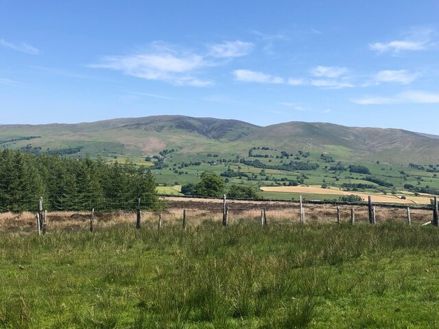
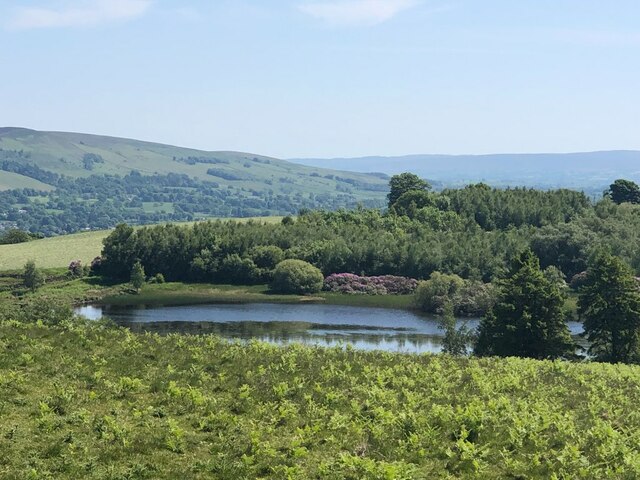
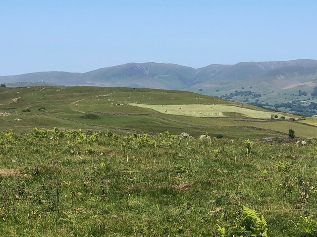
Blackbrow Wood is a picturesque forest located in the county of Westmorland, England. Covering an area of approximately 500 acres, this woodland is renowned for its natural beauty and diverse wildlife.

The wood is predominantly composed of deciduous trees, including oak, beech, and birch, which create a stunning canopy of foliage during the summer months. The forest floor is blanketed with a rich carpet of moss, ferns, and wildflowers, adding to the enchanting atmosphere of the woodland.

Blackbrow Wood is a haven for wildlife enthusiasts, as it is home to a wide variety of fauna. Birdwatchers can spot various species including woodpeckers, owls, and songbirds, while small mammals like foxes, badgers, and squirrels can often be seen scurrying through the undergrowth. Additionally, the wood is inhabited by numerous insects, such as butterflies and beetles, which thrive in the diverse ecosystem.

The forest offers several walking trails, allowing visitors to explore its natural wonders at their own pace. These well-marked paths wind through the woodland, offering breathtaking views of the surrounding countryside and the opportunity to discover hidden glens and tranquil streams.

Blackbrow Wood is a popular destination for nature lovers, hikers, and families alike, providing a serene escape from the hustle and bustle of everyday life. Its tranquil ambiance, breathtaking scenery, and abundant wildlife make it a must-visit location for anyone seeking a peaceful retreat in the heart of Westmorland.

If you have any feedback on the listing, please let us know in the comments section below.

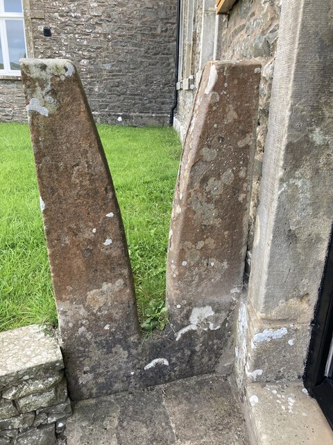
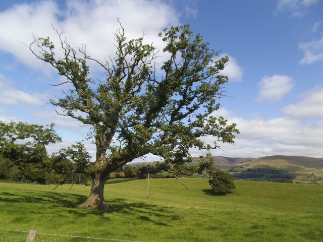
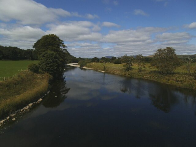
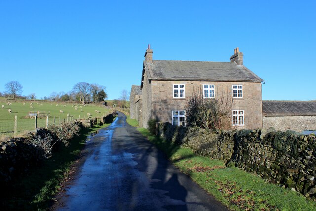
Blackbrow Wood Images

Images are sourced within 2km of 54.253719/-2.5979377 or Grid Reference SD6184. Thanks to Geograph Open Source API. All images are credited.

Livestock restraint Carved stone livestock neck holder now used ornamentally at door to Mansergh Hall
Livestock restraint
Carved stone livestock neck holder now used ornamentally at door to Mansergh Hall
Old oak in a field This is the further tree beyond the pair seen in the foreground of <a href="https://www.geograph.org.uk/photo/6816077">SD6083 : Minor road towards Rigmaden</a> taken in the spring of the same year.
Old oak in a field
This is the further tree beyond the pair seen in the foreground of SD6083 : Minor road towards Rigmaden taken in the spring of the same year.
Carrfoot Lodge The lodge was that of Rigmaden Park that stretches about 1.2km south from this junction. See <a href="https://www.geograph.org.uk/photo/6816094">SD6185 : Carrfoot Lodge</a> for a closer view taken earlier the same year.
Carrfoot Lodge
The lodge was that of Rigmaden Park that stretches about 1.2km south from this junction. See SD6185 : Carrfoot Lodge for a closer view taken earlier the same year.
Sheep at Rigmaden Farm Grazing on a level field part way up the west slope of Lonsdale.
Sheep at Rigmaden Farm
Grazing on a level field part way up the west slope of Lonsdale.
Rigmaden bridge The grade II listed bridge (list entry 1086894) has an unusual curved girder construction and dates from the 1880s. <a href="https://www.geograph.org.uk/photo/1213202">SD6184 : Rigmaden Bridge</a> shows a side view quite clearly.
Rigmaden bridge
The grade II listed bridge (list entry 1086894) has an unusual curved girder construction and dates from the 1880s. SD6184 : Rigmaden Bridge shows a side view quite clearly.
River Lune north from Rigmaden bridge Photographed towards the end of a fairly dry summer.  <a href="https://www.geograph.org.uk/photo/4395485">SD6184 : River Lune at Rigmaden</a> shows it in late winter with a greater depth of flow.
River Lune north from Rigmaden bridge
Photographed towards the end of a fairly dry summer. SD6184 : River Lune at Rigmaden shows it in late winter with a greater depth of flow.
Minor Road in Rigmaden Park The road seen here rising towards the woodland of High Rigg Brown and Low Rigg Brown
Minor Road in Rigmaden Park
The road seen here rising towards the woodland of High Rigg Brown and Low Rigg Brown
View over Rigmaden and the Lune Valley View taking in a sweep of landscape over the Lune Valley towards Middleton Fell
View over Rigmaden and the Lune Valley
View taking in a sweep of landscape over the Lune Valley towards Middleton Fell
View towards the Howgill Fells
Track below Talebrigg Hill Bridleway crossing a patch of moorland towards the Old Scotch Road from Rigmaden
Track below Talebrigg Hill
Bridleway crossing a patch of moorland towards the Old Scotch Road from Rigmaden
Egholme Farm
Egholme Farm
View across Lunedale From Shawrigg towards Calf.
View across Lunedale
From Shawrigg towards Calf.
Young shelterbelt, Talebrigg Hill Further on, by the tarn, the Rhododendron ponticum is in bloom.
Young shelterbelt, Talebrigg Hill
Further on, by the tarn, the Rhododendron ponticum is in bloom.
Kittmere View from Talebrigg Hill
Kittmere
View from Talebrigg Hill
Flowering Rhododendron ponticum, Kitmere The notorious pest is good to look at for a short while.
Flowering Rhododendron ponticum, Kitmere
The notorious pest is good to look at for a short while.
Silage making, Lunedale View from Talebrigg Hill towards the Howgill Fells.
Silage making, Lunedale
View from Talebrigg Hill towards the Howgill Fells.
A683 towards Kirkby Lonsdale
River Lune Ford This is another old impassable ford on the River Lune at Hawkin Hall. The lady at the farm advised us that people on both horseback and on motorcycles have attempted crossings but the base has long since been washed away and they have found it very difficult.
River Lune Ford
This is another old impassable ford on the River Lune at Hawkin Hall. The lady at the farm advised us that people on both horseback and on motorcycles have attempted crossings but the base has long since been washed away and they have found it very difficult.
Show me another place!

Blackbrow Wood is located at Grid Ref: SD6184 (Lat: 54.253719, Lng: -2.5979377)

Administrative County: Cumbria

District: South Lakeland

Police Authority: Cumbria

What 3 Words

///frightens.passions.playful. Near Kirkby Lonsdale, Cumbria

Related Wikis

St Peter's Church, Mansergh

St Peter's Church is in the village of Mansergh, Cumbria, England. It is an active Anglican parish church in the deanery of Kendal, the archdeaconry of...

Mansergh, Cumbria

Mansergh is a village and civil parish in the South Lakeland district of the English county of Cumbria. It includes the village of Mansergh and the hamlet...

Middleton, Cumbria

Middleton is a village and a civil parish on the A683 road, in the South Lakeland district, in the county of Cumbria, England. Middleton has a church called...

Barbon railway station

Barbon railway station was located in Westmorland (now part of Cumbria), England, serving the town and locale of Barbon on the Ingleton Branch Line....

St Bartholomew's Church, Barbon

St Bartholomew's Church is in the village of Barbon, Cumbria, England. It is an active Anglican parish church in the deanery of Kendal, the archdeaconry...
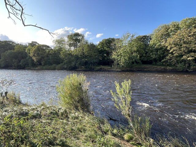
Barbon Beck

Barbon Beck is a small river in Barbondale, Cumbria. It is a tributary of the River Lune. Rising at Weather Ling Hill, where it is known as Barkin Beck...

Beckside

Beckside is a village in Cumbria, England.

Middleton-on-Lune railway station

Middleton-on-Lune railway station was located in Westmorland, England, (now in Cumbria), serving the hamlet and rural locale of Middleton on the Ingleton...

Nearby Amenities

Located within 500m of 54.253719,-2.5979377
Power: pole
Lat/Long: 54.257633/-2.5987061
Power: pole
Lat/Long: 54.2565252/-2.5993273
Power: pole
Lat/Long: 54.2555808/-2.5998186
Power: pole
Lat/Long: 54.2546663/-2.5999306
Power: pole
Lat/Long: 54.2538498/-2.6000223
Power: pole
Lat/Long: 54.2531136/-2.5997473
Power: pole
Lat/Long: 54.2521335/-2.599368
Power: pole
Lat/Long: 54.2513944/-2.5990931
Power: pole
Lat/Long: 54.2505927/-2.5987647
Power: pole
Lat/Long: 54.24962/-2.5984032
Power: pole
Lat/Long: 54.249391/-2.5992993
The data included in this document is from www.openstreetmap.org. The data is made available under ODbL.

Have you been to Blackbrow Wood?

Leave your review of Blackbrow Wood below (or comments, questions and feedback).