Coppleham
Settlement in Somerset Somerset West and Taunton
England
Coppleham

Coppleham is a quaint village located in the county of Somerset, England. Situated approximately 10 miles southeast of the bustling city of Taunton, Coppleham is nestled amidst rolling green hills and picturesque countryside. The village is home to a population of around 500 residents, creating a close-knit community atmosphere.
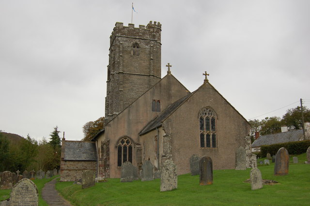
The origins of Coppleham date back to medieval times, with evidence of habitation in the area as early as the 12th century. The village is characterized by its charming thatched-roof cottages, traditional stone buildings, and historic church, which serves as a prominent landmark. St. Mary's Church, dating back to the 14th century, showcases stunning architecture and is a focal point for both locals and visitors.
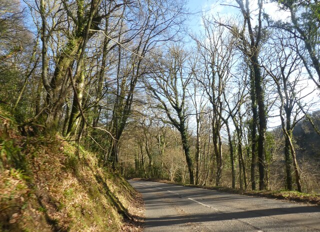
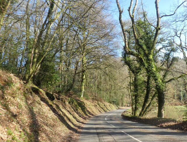
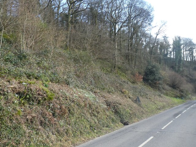
While Coppleham is predominantly a residential area, it offers a peaceful and idyllic setting for those seeking a tranquil lifestyle away from the hustle and bustle of city life. The surrounding countryside provides ample opportunities for outdoor activities, including hiking, cycling, and horse riding. The village also boasts a number of well-maintained footpaths, allowing residents to explore the natural beauty of the area.
In terms of amenities, Coppleham has a small convenience store, providing basic necessities for its residents. However, for a wider range of facilities, the nearby town of Taunton offers a variety of shops, supermarkets, restaurants, and leisure activities.
Overall, Coppleham is a charming village that exudes a sense of history and tranquility. Its beautiful countryside and close-knit community make it an attractive place to live for those seeking a more relaxed and rural lifestyle.
If you have any feedback on the listing, please let us know in the comments section below.
Coppleham Images
Images are sourced within 2km of 51.095105/-3.5436549 or Grid Reference SS9234. Thanks to Geograph Open Source API. All images are credited.


Coppleham is located at Grid Ref: SS9234 (Lat: 51.095105, Lng: -3.5436549)
Administrative County: Somerset
District: Somerset West and Taunton
Police Authority: Avon and Somerset
What 3 Words
///risk.automatic.choppy. Near Dulverton, Somerset
Nearby Locations
Related Wikis

St Peter's Church, Exton
The Anglican St Peter's Church at Exton within the English county of Somerset has a 13th-century tower and 15th century aisle. It is a Grade II* listed...
Exton, Somerset
Exton is a village and civil parish 5 miles (8 km) north-east of Dulverton and 9 miles (14 km) south-west of Dunster in Somerset, England. It lies on the...
Winsford, Somerset
Winsford is a village and civil parish in Somerset, England, located about 5 miles (8 km) north-west of Dulverton. It is within the borders of the Exmoor...

Garratts Wood
Garratts Wood is a woodland in Somerset, England, near the village of Winsford. It covers a total area of 1.11 hectares (2.74 acres). It is owned and managed...

Caratacus Stone
The Caratacus Stone, sometimes known as the Caractacus Stone, is an inscribed stone on Exmoor in Somerset, England. It is thought to date from the 6th...

Exmoor
Exmoor is loosely defined as an area of hilly open moorland in west Somerset and north Devon in South West England. It is named after the River Exe, the...

South Exmoor SSSI
South Exmoor (grid reference SS880340) is a 3132.7 hectare (7742.3 acre) biological Site of Special Scientific Interest in Devon and Somerset, England...

Church of St Mary, Brompton Regis
The Anglican Church of St Mary in Brompton Regis, Somerset, England was built in the 13th century. It is a Grade II* listed building. == History == The...
Nearby Amenities
Located within 500m of 51.095105,-3.5436549Have you been to Coppleham?
Leave your review of Coppleham below (or comments, questions and feedback).