Limingclose Wood
Wood, Forest in Somerset Somerset West and Taunton
England
Limingclose Wood

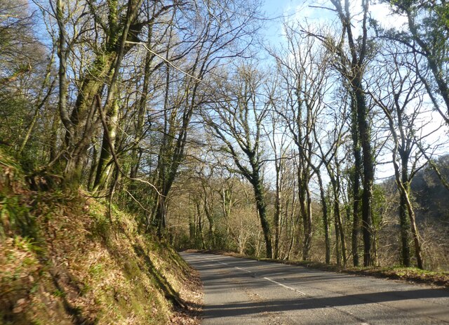
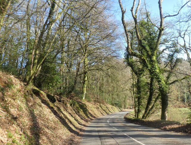
Limingclose Wood is a picturesque woodland located in Somerset, England. Covering an area of approximately 100 acres, it is renowned for its natural beauty and diverse ecosystem. The wood is composed mainly of native broadleaf trees, including oak, beech, and ash, which create a dense and enchanting canopy.
The woodland boasts a rich history, with evidence of human activity dating back to the Bronze Age. It has been used for timber production, charcoal making, and as a hunting ground for centuries. Today, it is primarily managed for conservation purposes, providing a haven for a wide range of plant and animal species.
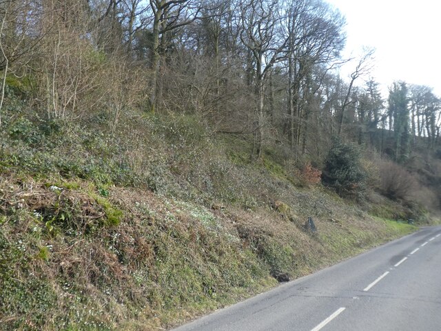
Limingclose Wood is home to an array of wildlife, including many species of birds, mammals, and insects. Birdwatchers can spot woodpeckers, owls, and a variety of songbirds, while nature enthusiasts might come across deer, badgers, and foxes. The wood is also renowned for its vibrant wildflower displays, with bluebells and primroses carpeting the forest floor in spring.
Visitors can explore the wood along several well-maintained footpaths, which wind through the ancient trees and offer stunning views of the surrounding countryside. There are also picnic areas and benches for visitors to relax and soak in the tranquil atmosphere. The wood is a popular spot for nature lovers, hikers, and families looking for a peaceful outdoor experience.
Overall, Limingclose Wood is a natural gem in Somerset, offering a unique glimpse into the region's natural heritage. Its ancient trees, diverse wildlife, and serene ambiance make it an ideal destination for anyone seeking a connection with nature.
If you have any feedback on the listing, please let us know in the comments section below.
Limingclose Wood Images
Images are sourced within 2km of 51.097602/-3.5384109 or Grid Reference SS9234. Thanks to Geograph Open Source API. All images are credited.


Limingclose Wood is located at Grid Ref: SS9234 (Lat: 51.097602, Lng: -3.5384109)
Administrative County: Somerset
District: Somerset West and Taunton
Police Authority: Avon and Somerset
What 3 Words
///obstruction.cello.assess. Near Dulverton, Somerset
Nearby Locations
Related Wikis

St Peter's Church, Exton
The Anglican St Peter's Church at Exton within the English county of Somerset has a 13th-century tower and 15th century aisle. It is a Grade II* listed...
Exton, Somerset
Exton is a village and civil parish 5 miles (8 km) north-east of Dulverton and 9 miles (14 km) south-west of Dunster in Somerset, England. It lies on the...
Winsford, Somerset
Winsford is a village and civil parish in Somerset, England, located about 5 miles (8 km) north-west of Dulverton. It is within the borders of the Exmoor...

Garratts Wood
Garratts Wood is a woodland in Somerset, England, near the village of Winsford. It covers a total area of 1.11 hectares (2.74 acres). It is owned and managed...

Caratacus Stone
The Caratacus Stone, sometimes known as the Caractacus Stone, is an inscribed stone on Exmoor in Somerset, England. It is thought to date from the 6th...

Brendon Hills
The Brendon Hills are a range of hills in west Somerset, England. The hills merge level into the eastern side of Exmoor and are included within the Exmoor...

Church of St Mary, Brompton Regis
The Anglican Church of St Mary in Brompton Regis, Somerset, England was built in the 13th century. It is a Grade II* listed building. == History == The...

Gupworthy railway station
Gupworthy (sometimes referred to as "Goosemoor") was originally intended as an intermediate station on the West Somerset Mineral Railway (WSMR), but neither...
Nearby Amenities
Located within 500m of 51.097602,-3.5384109Have you been to Limingclose Wood?
Leave your review of Limingclose Wood below (or comments, questions and feedback).